-

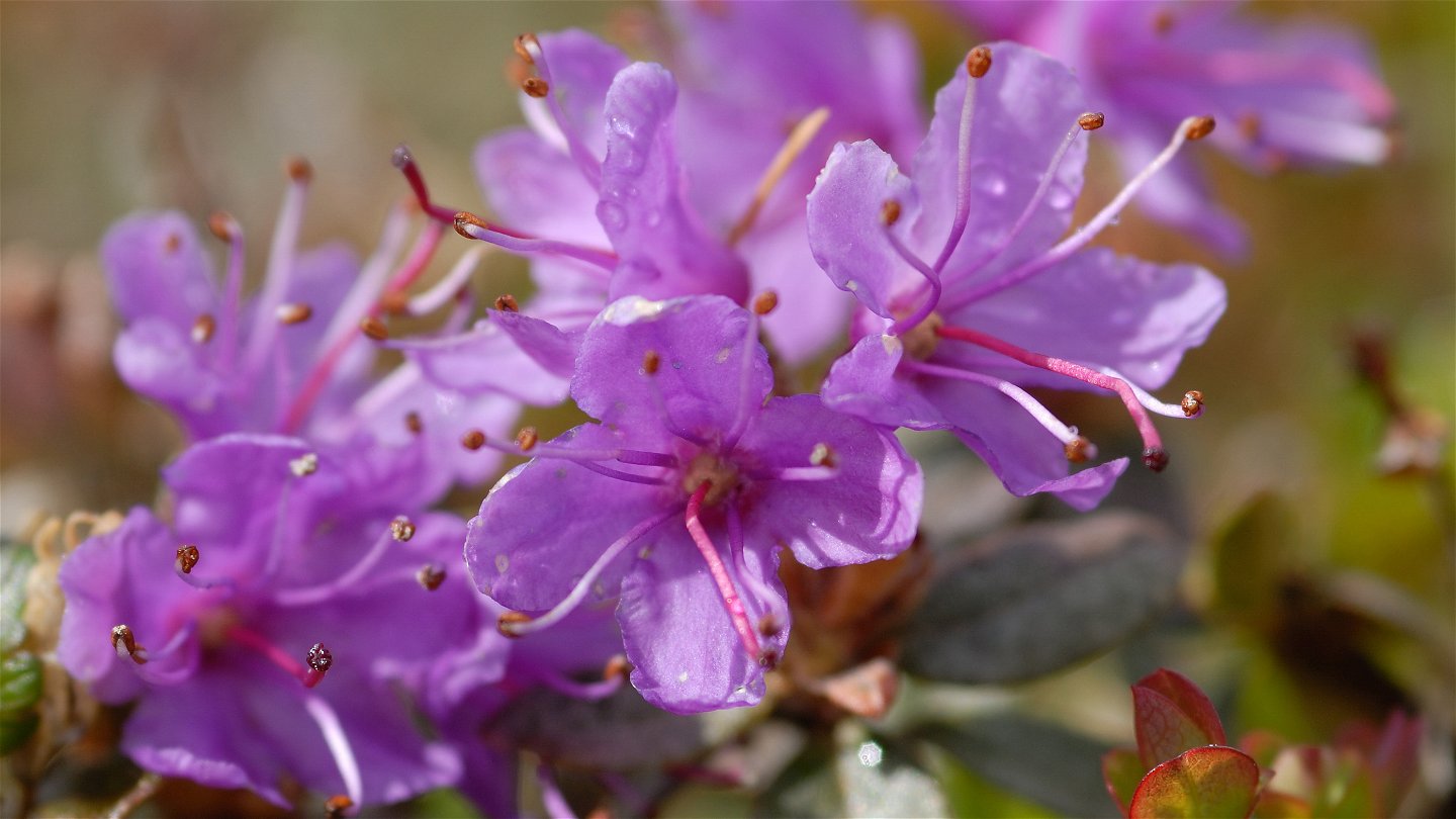
Lapsk alpros.
Foto: Göran Wallin -
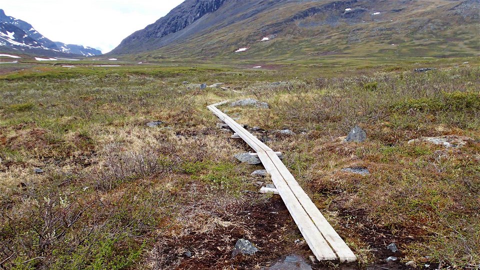
Foto: Ivar Palo/Länsstyrelsen -
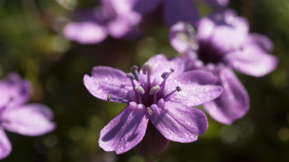
Fjällglim.
Foto: Göran Wallin -
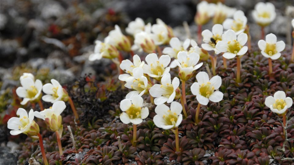
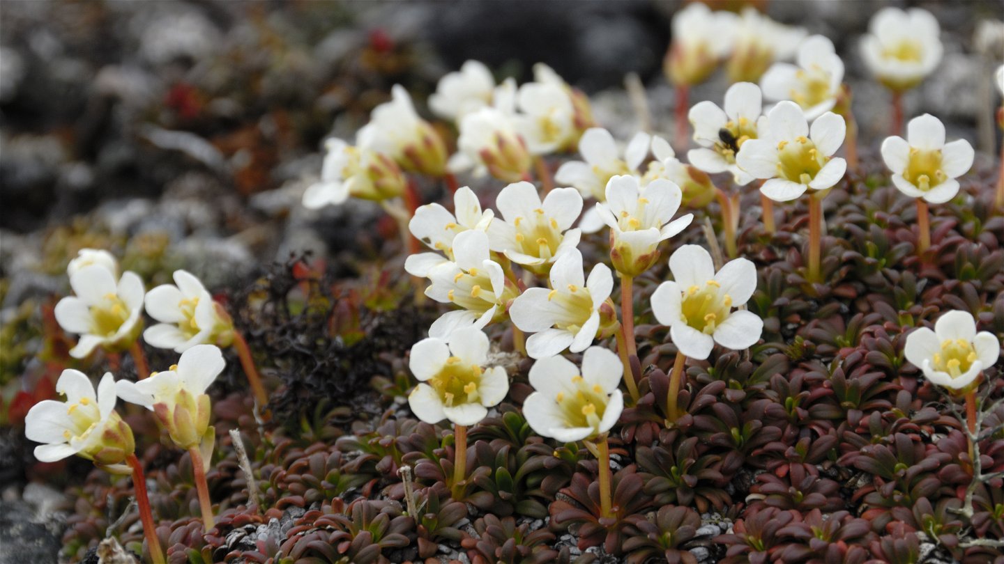
Fjällgröna.
Foto: Göran Wallin


Singi-Kaitumjaure, Kungsleden
Wandern
- Landkreis: Länsstyrelsen Norrbottens län
- 6387.11 km von Ihnen entfernt
Details zum Weg
- Länge 13.0 km
Aktionen
Beschreibung
From Singi, the King's Trail follows the Tjäktjavagge Valley southwards. The stage is an easy hike with small differences in elevation, and follows Tjäktjajåkka stream all the way. The first part of the hike is a little hilly, but after a few kilometres the terrain changes to flat moorland. Between the mountain summits Stuor Avrrik and Stuor Jierta the valley becomes narrower with steep sides. For those interested in flowers, a short detour is recommended up to and down from the lime rich slopes of Stuor Jierta. After the suspension bridge across Tjäktjajåkka stream, there is a gradual downward slope towards mountain birch forest and the Kaitumjaure Cabins. During the last section you have a good view of the narrow mountain lake Padje Kaitumjaure (Bajip Gáidumjávri).
There are good tent pitches and plenty of water along the stretch.
Duration: 5-6 hours
Aktivitäten und Einrichtungen
-
Wandern
Oberfläche
Slightly hilly and rocky terrain for the first kilometres –after that mostly flat moorland. There are many plankways on this stretch.
Kontakt
E-Mail-Adresse
Länsstyrelsen Norrbotten
Logotyp der Organisation
![]()
Fragen & Antworten
Stellen Sie eine Frage an andere Naturkartan-Nutzer.