


Runt Vättern


Wandern
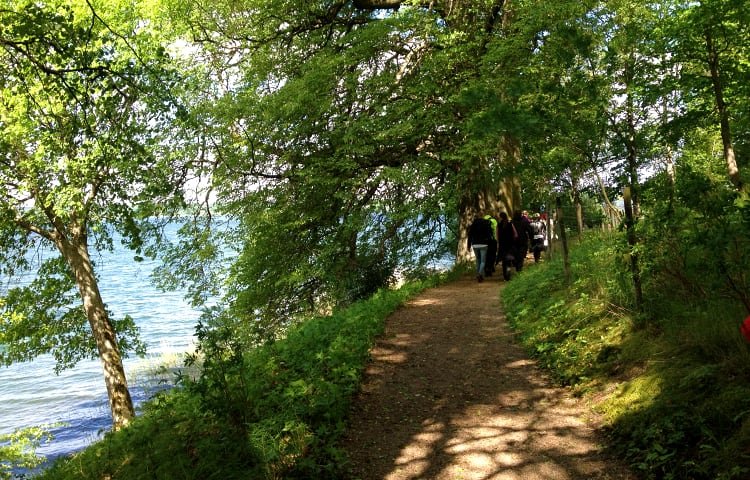
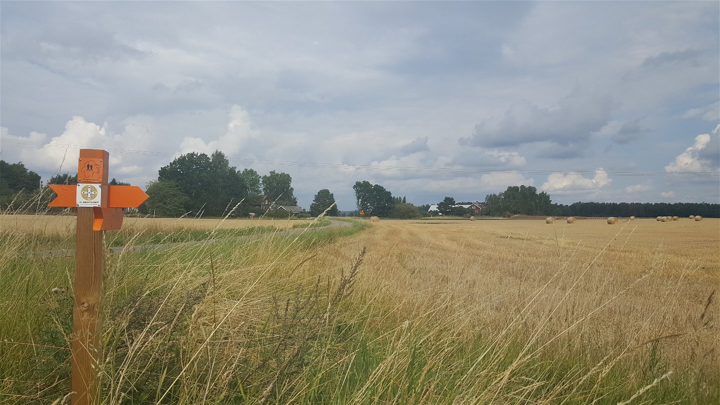
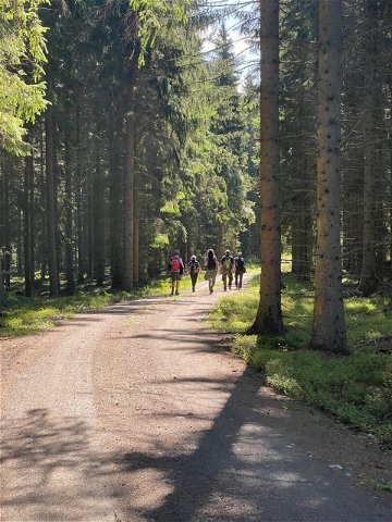
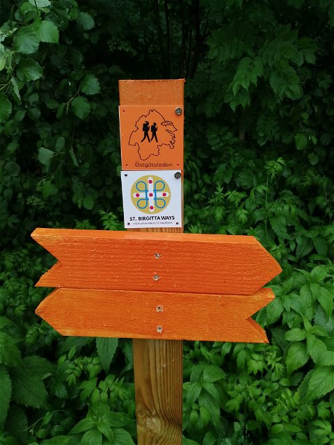
Hike in the beautiful fields and along the southern shore of lake Boren. Östgötaleden between Motala and Borensberg shares its route with St. Birgitta's Trail, a trail that connects parts of St. Birgitta's life, past and present.
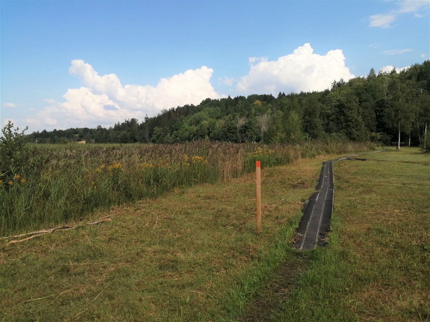
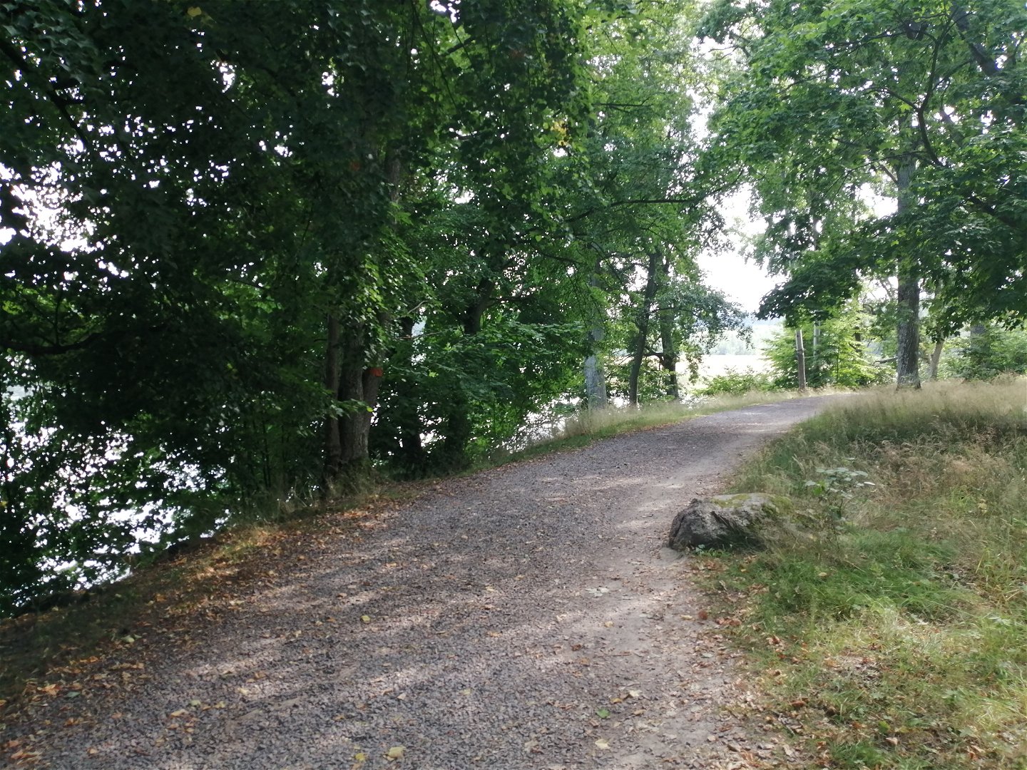
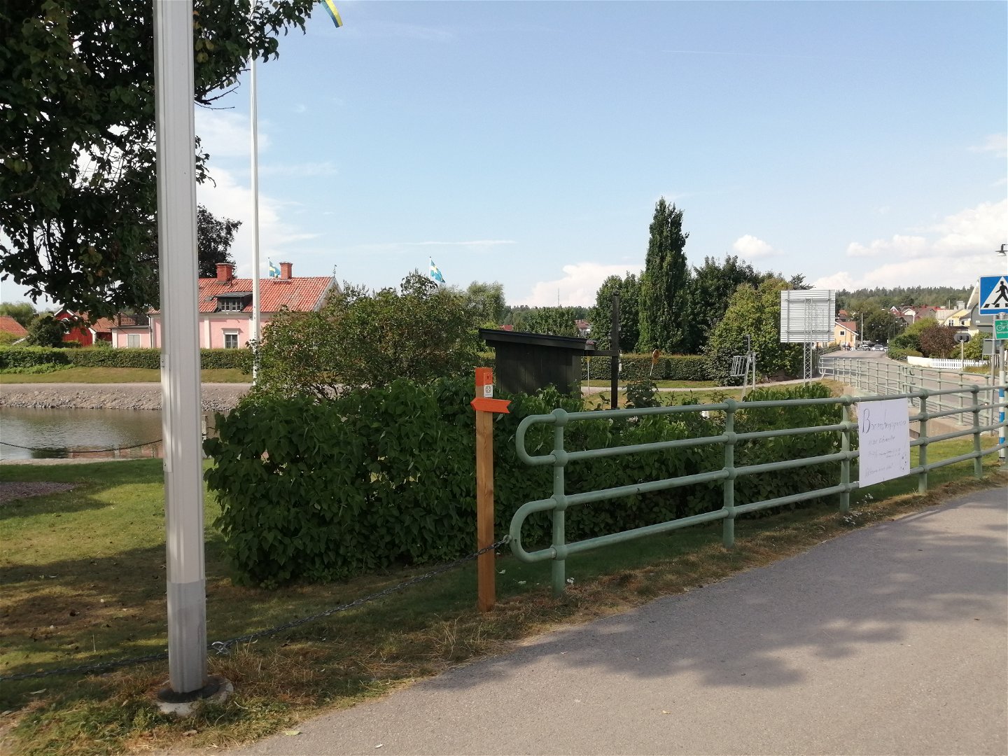
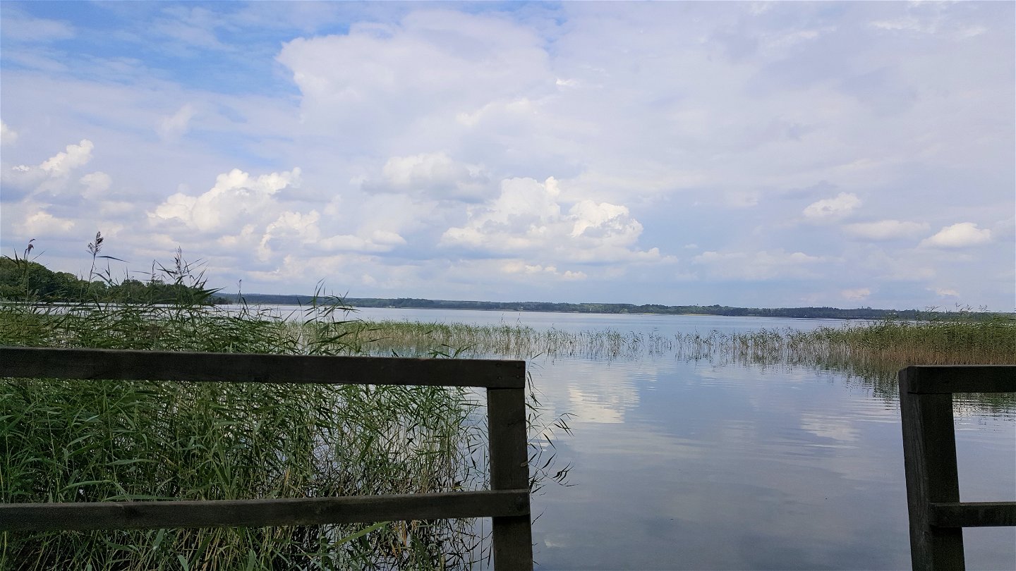
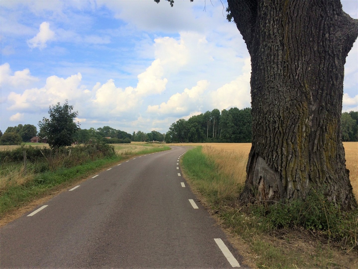
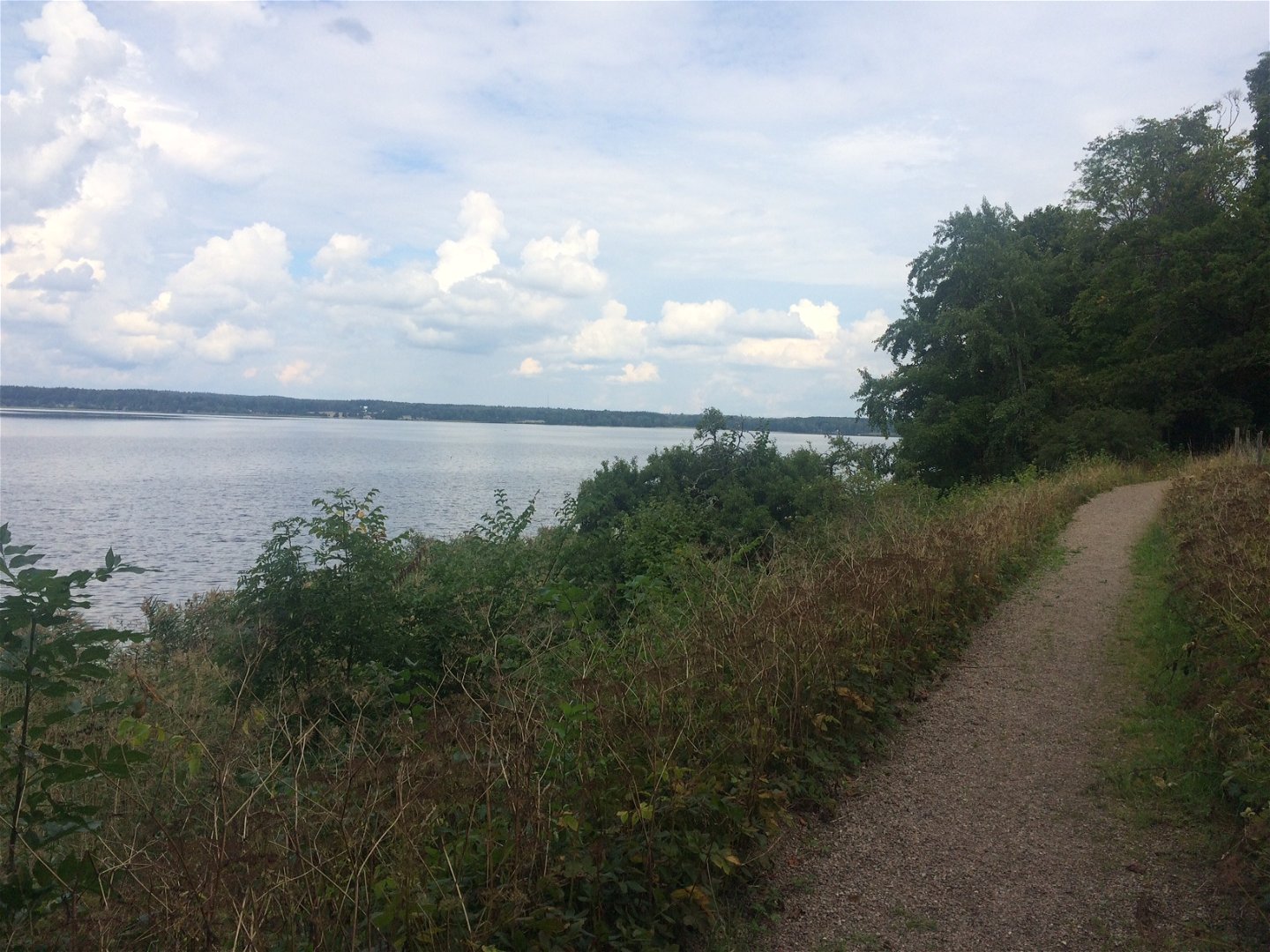
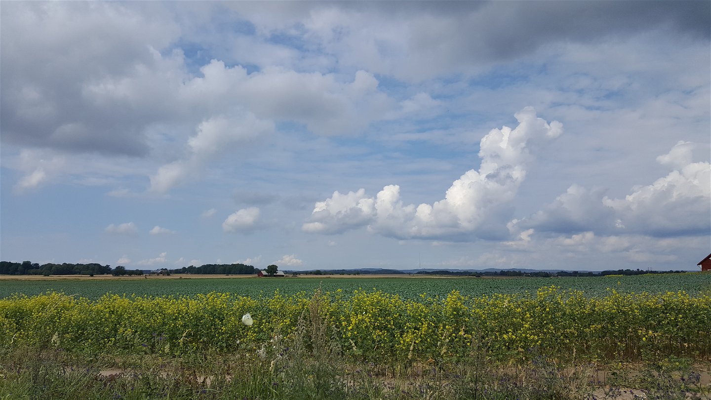
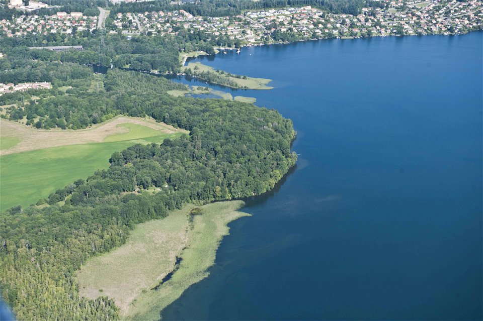
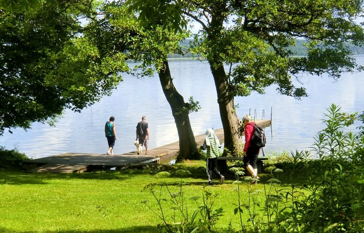
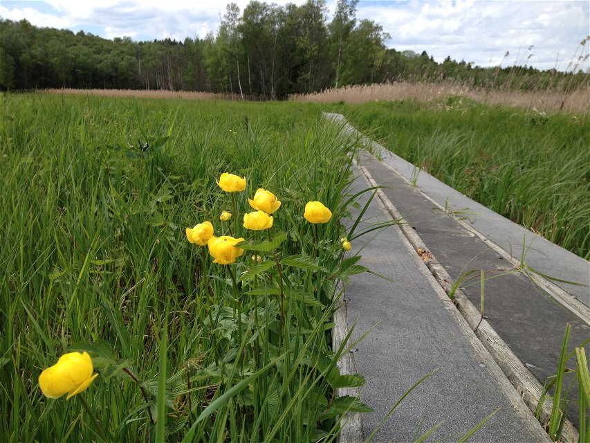
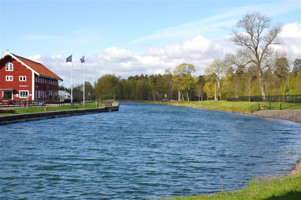
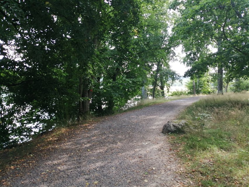
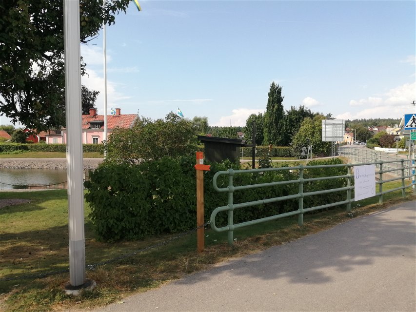
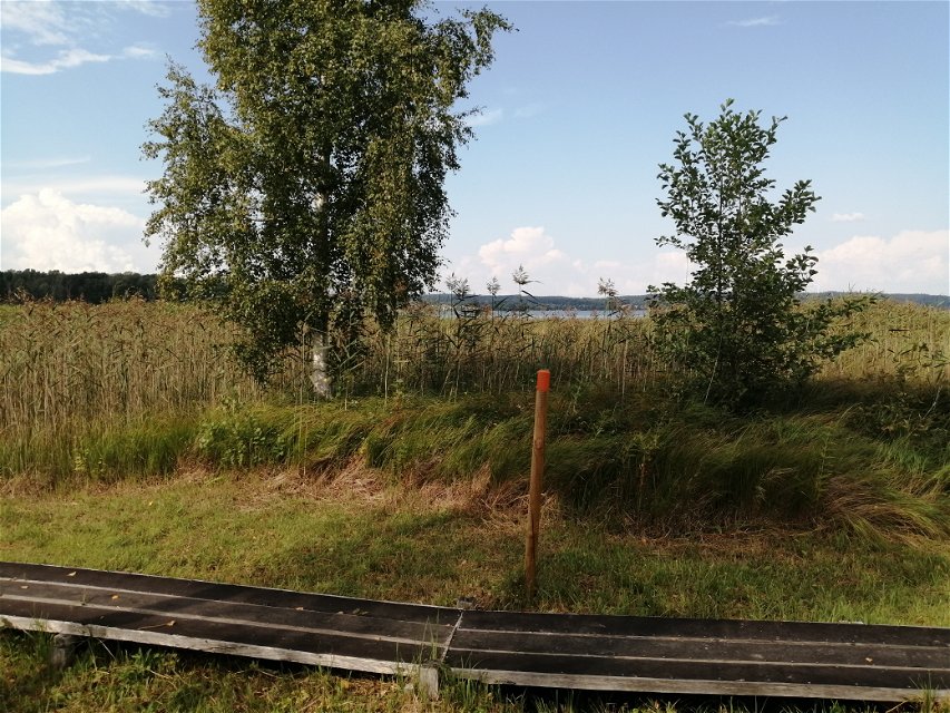
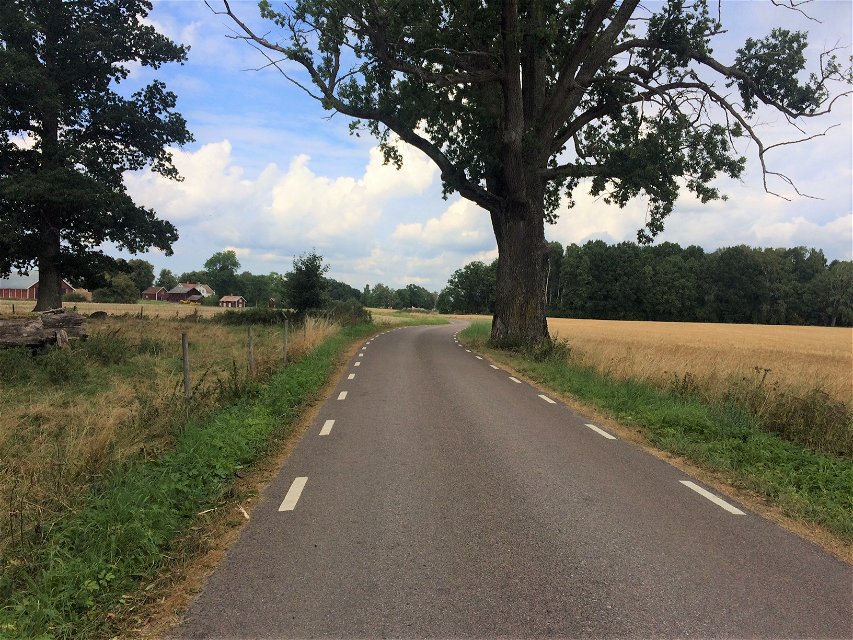
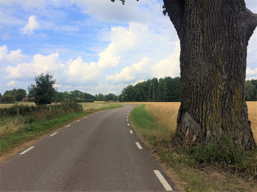
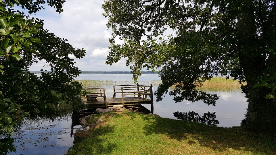
The trail connects to Göta Kanal in Motala. It starts in Sjöbo-Knäppans fantastic nature reserve along Boren beach where you can go swimming, have a barbecue and enjoy different picnic areas. If you want to cycle the trail, you start at Slaggbacken and cycle through the agricultural landscape past Sjöbo-Knäppan towards Vedemö.
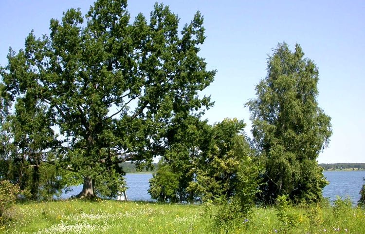
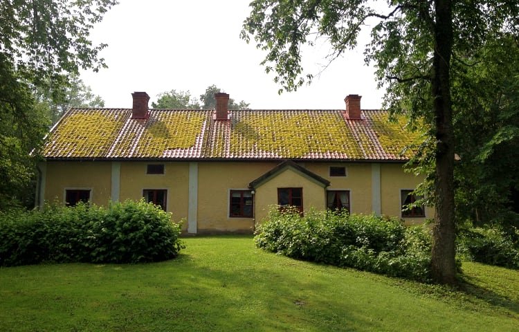
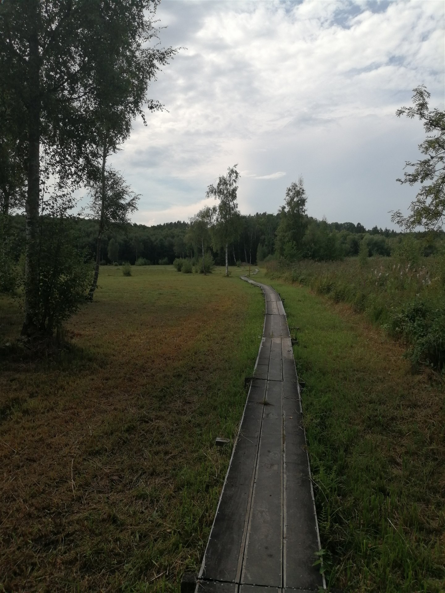
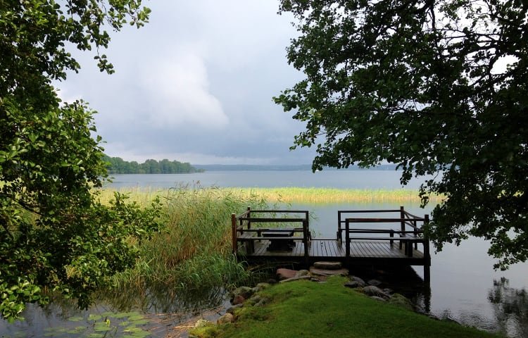
The trail takes you up to Birgitta's point. Here you find the ruins of the castle where St. Birgitta lived and worked, where you can enjoy the view over Boren under old deciduous trees.
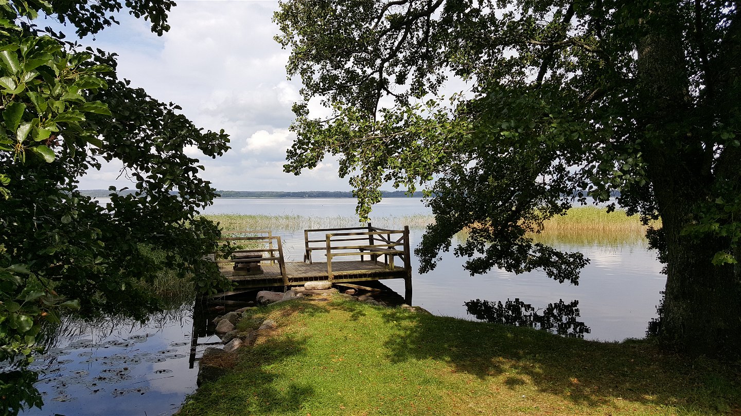
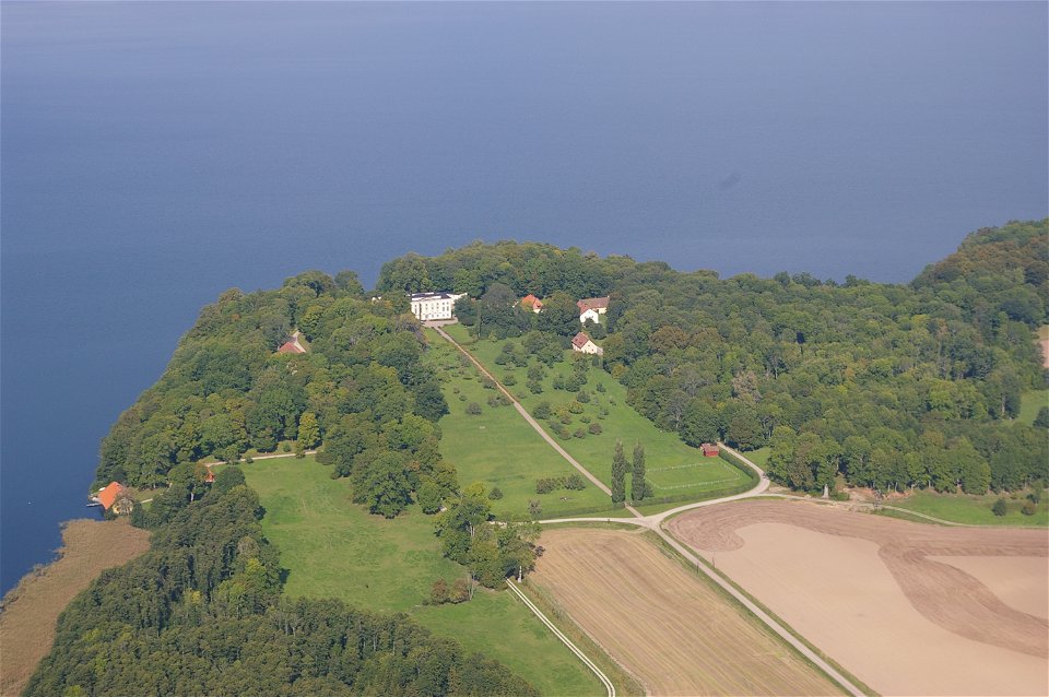
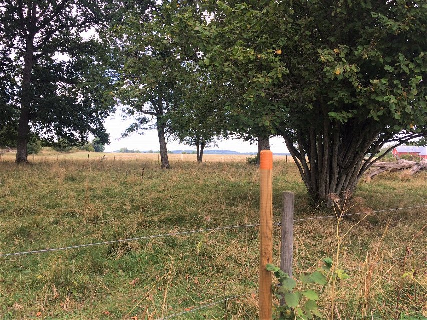
The trail also goes past Ulvåsa Castle with a public park heading down to the water. The exuberant park that surrounds the castle, together with the scenic location next to Lake Boren gives additional dimensions to Ulvåsa's grandeur.
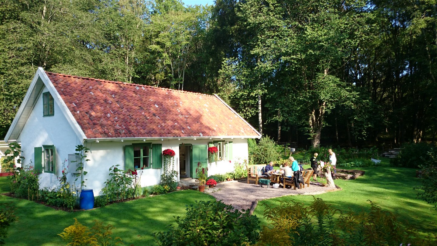
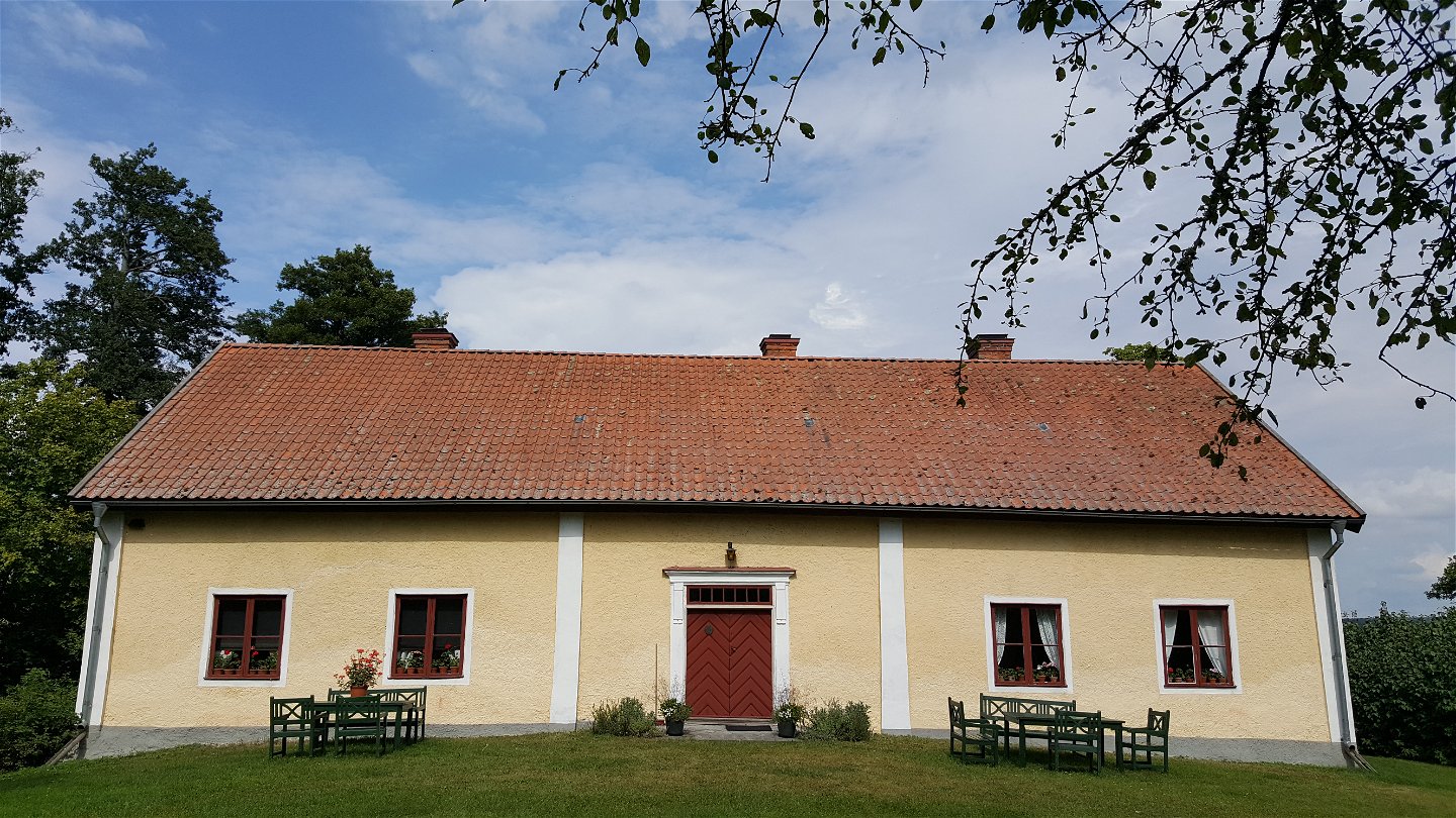
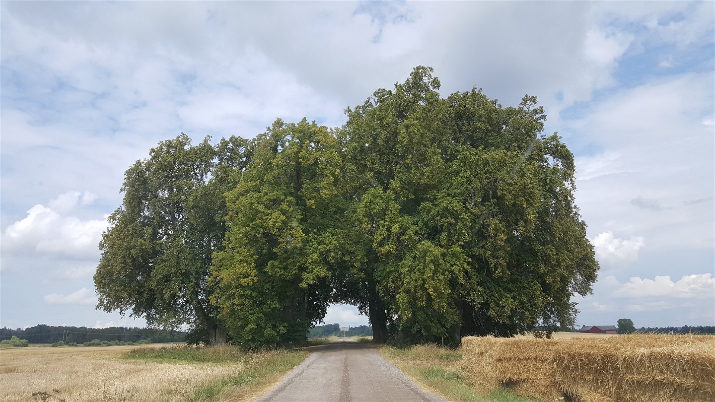
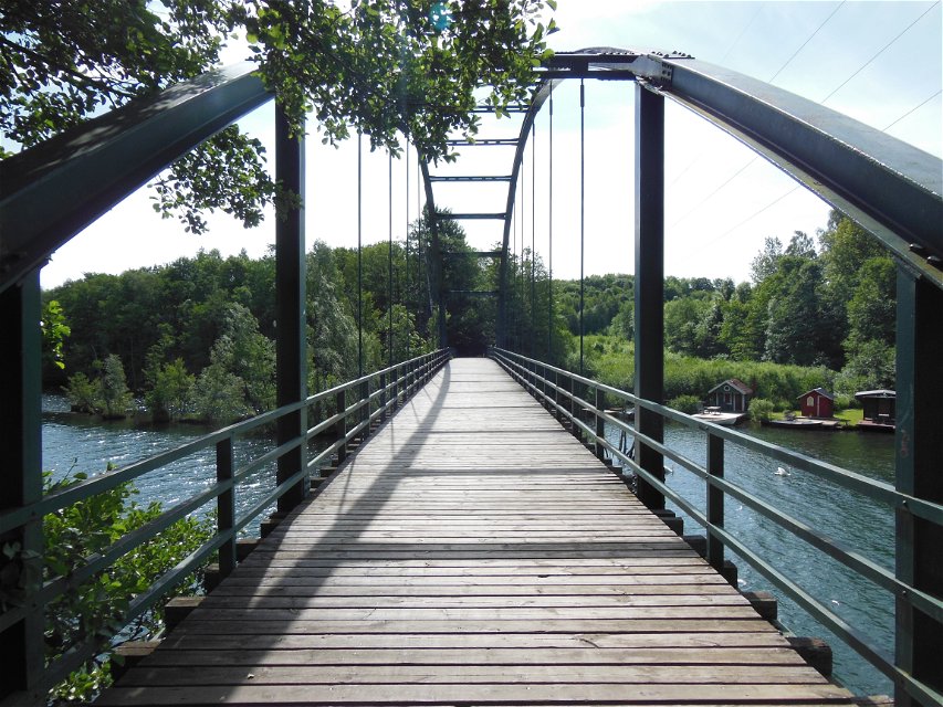
You can also make a detour to Ekeby church and get to Gamla Prästgården by Borens beach. A large part of the trail runs along many gravel roads with views over the agricultural landscape. The trail ends in Borensberg where you can eat and spend the night. There are also swimming opportunities here, you walk right next to Strandbadet and then finish at Göta canal. Of course you can also start your hike in Borensberg and hike towards Motala.
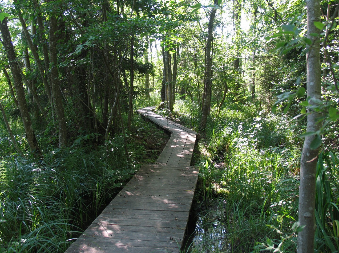
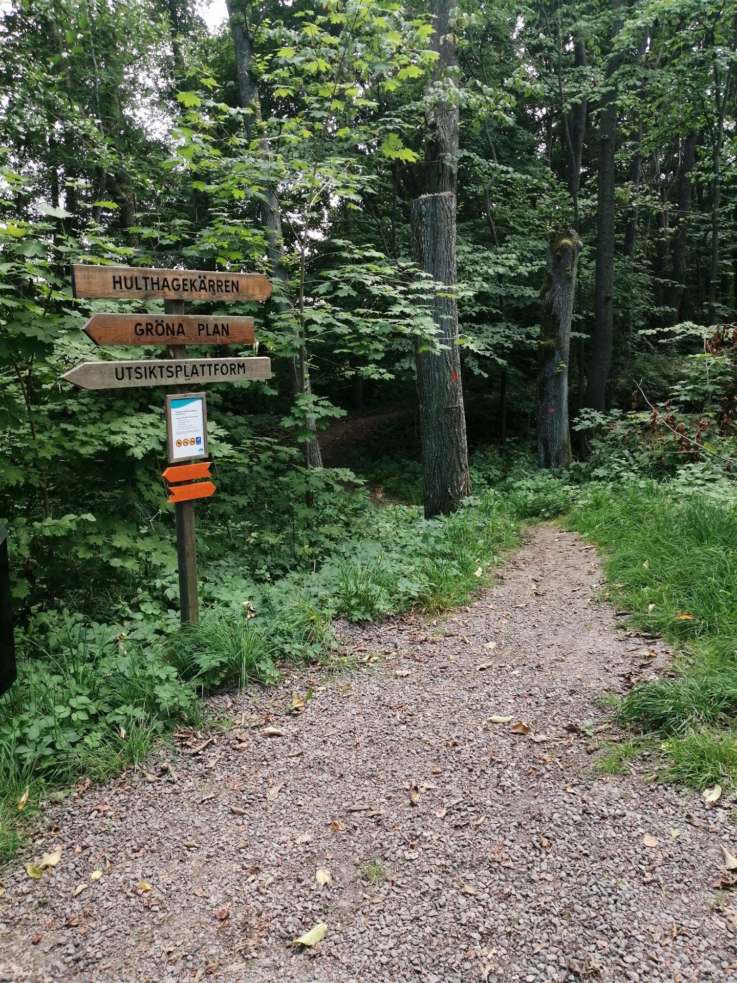
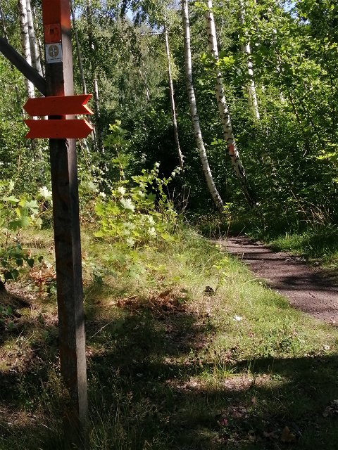
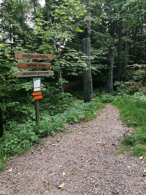
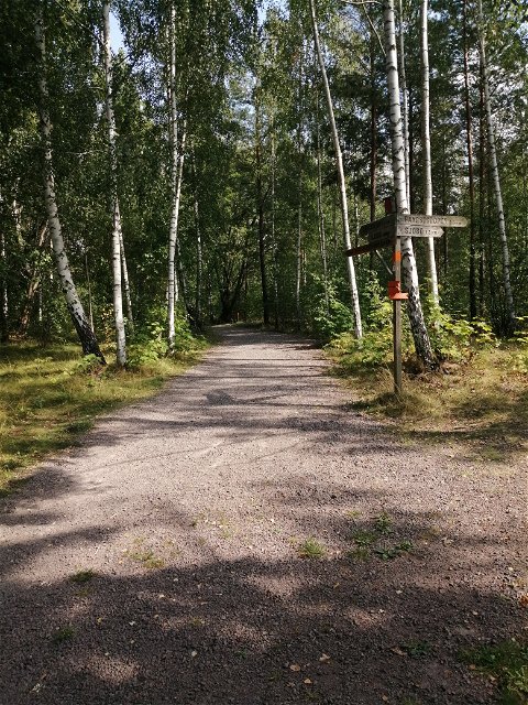
On the route, you are welcome to hike or cycle on easily accessible roads. As a cyclist, you can choose to take the straighter trail along the gravel roads on the plain. There are good accommodation options (including five STF hostels, many other hotels and guest houses) and access to shops and restaurants. More information about St. Birgitta's Trail, maps and directions can be found on the website (Pilgrimscentrum).
On Naturkartan, St. Birgitta's Trail is divided into four sections. The distance between Borensberg and Motala is 27 km.
 Radfahren
Wandern
Radfahren
Wandern
 Promenad
 Pilgrim Trail
 Nähe eines Parkplatzes
 Nähe von Nahverkehr
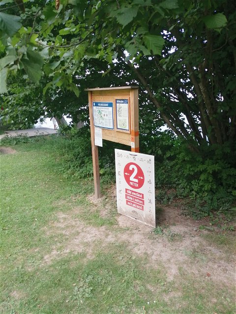
Leden kan man nå med kollektivtrafik på många ställen. Kontakta Östgötatrafiken på www.ostgotatrafiken.se eller 0771-21 10 10.
Kontakta mig om du har frågor om Motalas Naturkarta.
Hilda-Linn Berglund
![]()
Stellen Sie eine Frage an andere Naturkartan-Nutzer.