-

Parkeringsplatsen vid Entré Örsta.
Foto: Länsstyrelsen Stockholm -

Parkeringsplatsen vid Entré Örsta.
Foto: Länsstyrelsen Stockholm
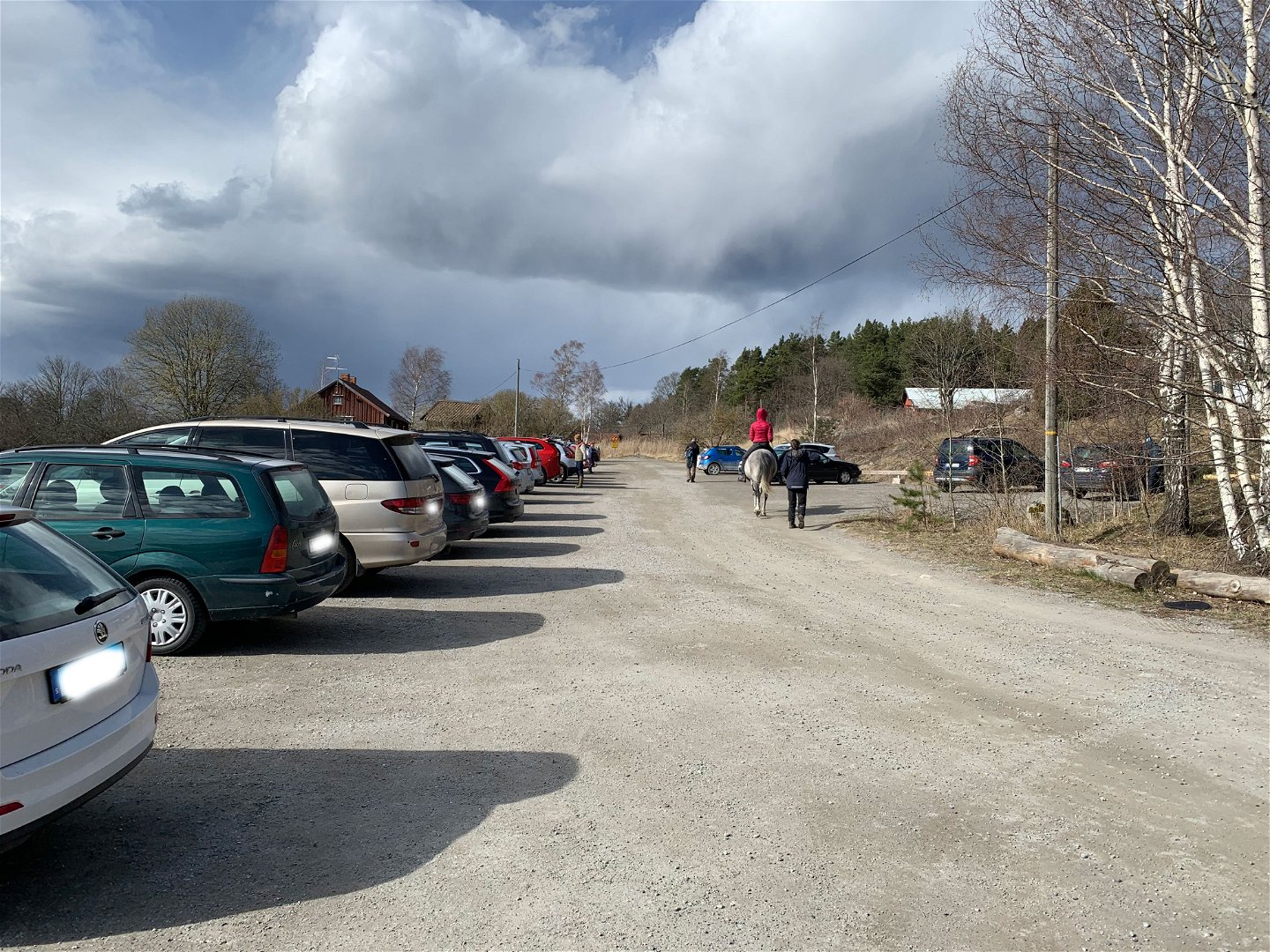
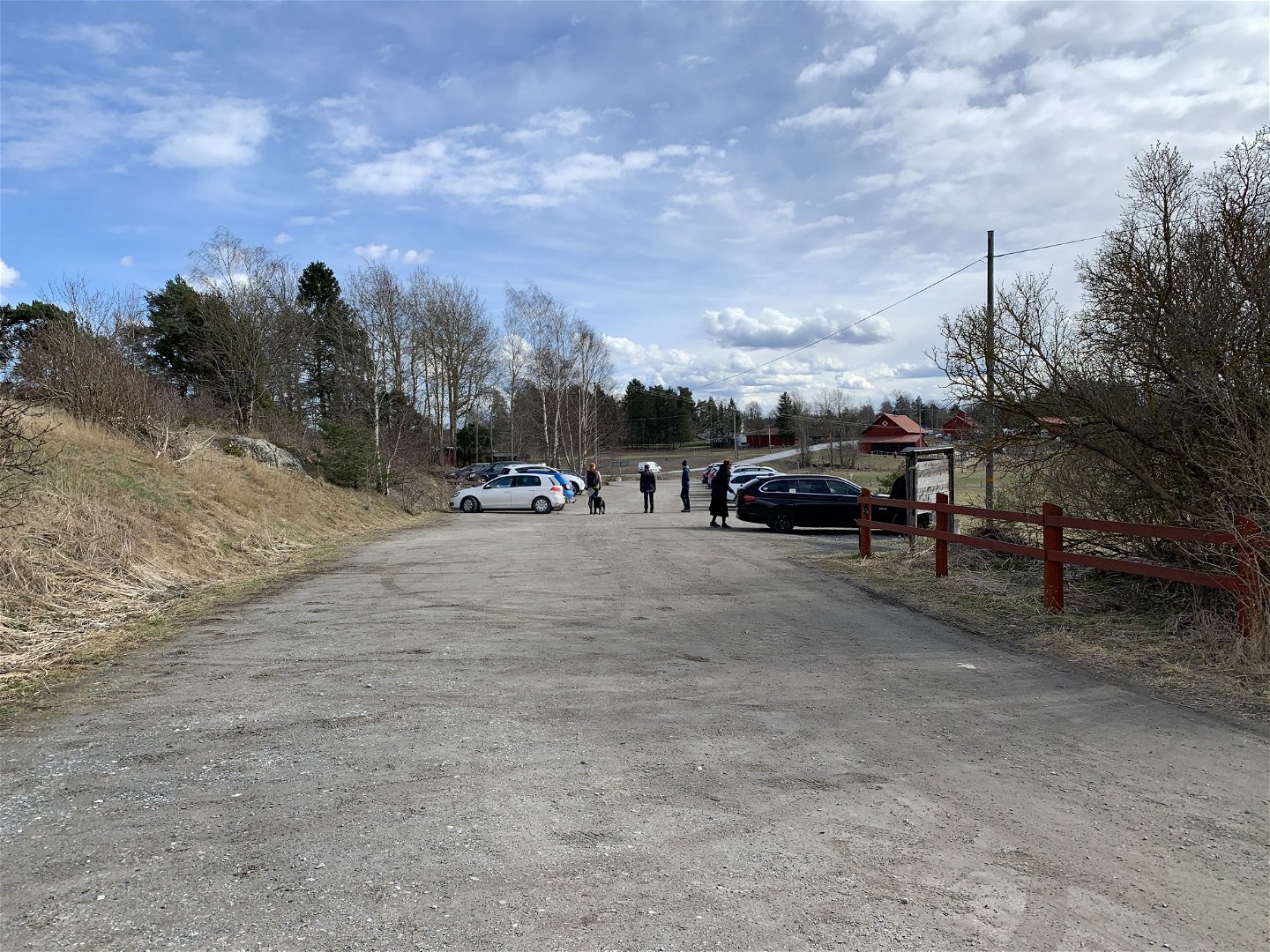

Entré och parkering Örsta, Angarnssjöängen
Parken
- Landkreis: Länsstyrelsen Stockholm län
- 6829.68 km von Ihnen entfernt
Aktionen
Aktuell
Vi tar ned farliga träd
Sedan 2018 har många granar varit utsatta för torkstress, stormar och granbarkborre. Det gör att flera träd riskerar att falla ner över leder och friluftslivsanordningar. För att undvika fara fäller vi därför riskträd. De avverkade granarna får ligga kvar intill leden som död ved, till förmån för skogens biologiska mångfald.
Arbetena pågår främst under vårvintern 2022. Tills det är färdigt uppmanar vi besökare att undvika leden vid blåsigt väder. Vi hoppas också på förståelse för att det under en tid kan vara stökigt kring leden.
P-plats vid Örsta
Det är ibland hög belastning på P-platserna vid Örsta. Detta gäller främst på helgerna. Om P-platsen är full hänvisas besökare till parkeringsplatsen i Olhamra.
Beschreibung
This is the main entrance to the reserve and has the largest parking lot. If the lot is full, look for space at the parking lots at Skesta hage, Kusta or Olhamra. From these parking lots, there are paths that connect to the Sjöängsslingan trail which takes you through the majority of the reserve.
There is an informational sign at the parking lot. A gravel road leads from the parking lot to the wheelchair-accessible lookout point by the beach meadows. The road passes Örsta naturcentrum, where you will find wheelchair-accessible toilets. Further down the road is a picnic area with a shelter and a fire pit. Please be respectful of local residents in the area.
Permit parking for people with disabilities can be found at Örsta naturcentrum and by the gate close to the beach meadows (see map).
Aktivitäten und Einrichtungen
-
 Bushaltestelle
-
 Eingang
-
 Information
-
Parken
Zugänglichkeit
-
 Nähe eines Parkplatzes
-
 Nähe von Nahverkehr
-
 Nähe einer Toilette
-
 Rollstuhlgerecht
Fakten
Skyddat sedan: 1982
Storlek: 565 hektar varav vatten 1,8 hektar
Karaktär: våtmark, sjö, odlingslandskap
Kommun: Vallentuna
Markägare: Stockholm stad, Vallentuna kommun, staten och privata
Förvaltare: Länsstyrelsen
Skyddsform: naturreservat
Övrigt: Natura 2000 område Angarn SE110034
Anleitung
By foot: The Roslagsleden hiking trail passes through the reserve. Another option is a 4 km walk on the Olhamraleden trail from Vallentuna station (by the Pressbyrån shop).
By public transit: Take the Roslagsbanan commuter rail to Vallentuna Station. From there, take a bus towards Kårsta. Get off at the Örsta bus stop, about 200 m from the reserve. For current bus lines and timetables, see: SL.se
By car: The reserve is about a 30 min drive from Stockholm. Take the E18 north from Stockholm towards Norrtälje. Exit towards Åkersberga and drive straight through the roundabout towards Gillinge and Angarn. Drive 4.5 km, passing the Angarn kyrka church. 200 m past the church, take a left at the signpost for "Angarnssjöängens naturreservat" into the parking lot and entrance at Örsta. Parking is also available at Skesta hage and Olhamra, see map.
Verordnungen
In order to protect the Angarnssjöängen nature reserve, please respect the following rules. Within the reserve, it is forbidden to:
- destroy or damage rock, soil or stone by drilling, cutting, blasting, carving, digging, painting or similar,
- break branches, fell or in any other way damage living or dead trees and bushes, or damage the vegetation in general by digging up plants, such as shrubs, herbaceous plants, mosses, lichens or remove fungi growing on wood,
- disturb wildlife (e.g. by climbing nesting trees, trapping or killing mammals, birds, reptiles or amphibians),
- trap and collect invertebrates,
- bring dogs that are not on a leash,
- make a fire outside of designated sites,
- put up a message board, placard, poster, sign or make inscriptions,
- bicycle off-road,
- operate a motorboat within the seagrass meadows,
- camp outside of designated sites. Camping within these sites is only allowed for a maximum of two consecutive nights,
- during the period of April 1 - September 30, traverse the bird protection area on the reserve map (“Fågelskyddsområde” in Swedish), Appendix 1 in the reserve proclamation,
- ride horses on the trails marked as forbidden on the map in the reserve proclamation ("Stig med ridförbud" in Swedish), Appendix 1 in the proclamation.
The complete reserve rules and proclamation can be found [on the County Administrative Board's website (in Swedish)] (https://www.lansstyrelsen.se/stockholm/besoksmal/naturreservat/angarnssjoangen.html).
Kontakt
E-Mail-Adresse
Länsstyrelsen i Stockholm
Logotyp der Organisation
![]()
Fragen & Antworten
Stellen Sie eine Frage an andere Naturkartan-Nutzer.