

-

Foto: Länsstyrelsen Västerbotten -

Foto: Länsstyrelsen Västerbotten -

Foto: Emma Johansson -
Foto: Länsstyrelsen Västerbotten -
Foto: Emma Johansson -
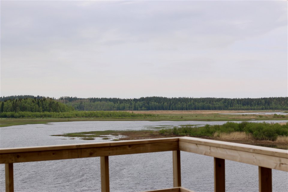
Foto: Emma Johansson

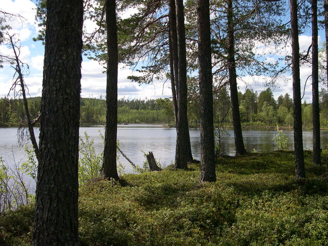
Gärdefjärden
Naturschutzgebiet
- Landkreis: Västerbottens län
- 6690.9 km von Ihnen entfernt
Aktionen
Beschreibung
Gärdefjärden is the lake that poisoned itself with sulphur, causing all the fish to migrate out into the sea. However, that all happened a long time ago. Today, Gärdefjärden is a rich bird lake, surrounded by some of the best agricultural land in Västerbotten. To the west of the lake are swampy coastal meadows and arable land with deciduous trees and mixed forest.
Cut-off inlet
Gärdefjärden was formed as a result of the rising land cutting off the original sea inlet. The surface of the water is now four metres above sea level. Mångbyån is the most important river flowing into the lake. The water then flows out via an excavated channel that links Gärdefjärden and Avafjärden. The lake has probably been lowered on two occasions, at some point in the 1850s and in 1931.
A sulphurous history
Without the supply of nutrients from agriculture, Gärdefjärden would have been a nutrient-poor lake. This is because the soil in the surrounding area is rich in sulphurous sediment. As a result, the lake has a low pH value. During the dry year of 1914, the water level was so low that large areas of the lake bed were dry. The sulphurous sediment oxidised to form easily soluble salts, which were toxic. When the water returned to the lake in 1915, the toxic salts were dissolved in the water. Roach, perch, bream and other fish migrated out into nearby sea inlets. It was five years before they started returning.
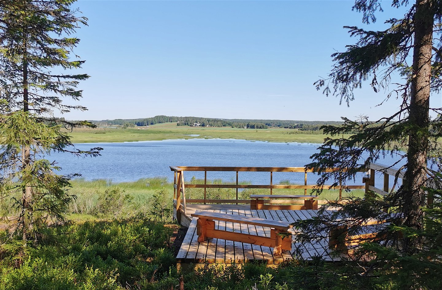
Birds in Gärdefjärden
Today, Gärdefjärden is an important resting area for birds during their spring and autumn migrations. In the spring, large numbers of grazing geese and cranes can often be seen in the fields around the lake. Golden plovers, ruffs and curlews can be seen in the reserve, as well as less common species such as the little gull, the red-necked grebe and the short-eared owl. Marsh harriers and ospreys regularly hunt over the lake. Mallards, goldeneyes, teals and tufted ducks all breed at Gärdefjärden. Rare visitors such as the pochard and lesser spotted woodpecker are seen now and then.
Cattle grazing and farming are essential for keeping the ground open and consequently preserving the reserve’s natural values. In the inlet, cows are able to graze during the summer.
Aktivitäten und Einrichtungen
-
Naturschutzgebiet
Zugänglichkeit
-
 Nähe eines Parkplatzes
-
 Nähe von Nahverkehr
Anleitung
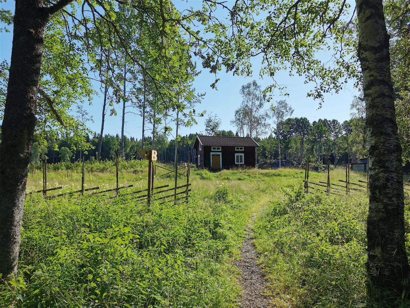
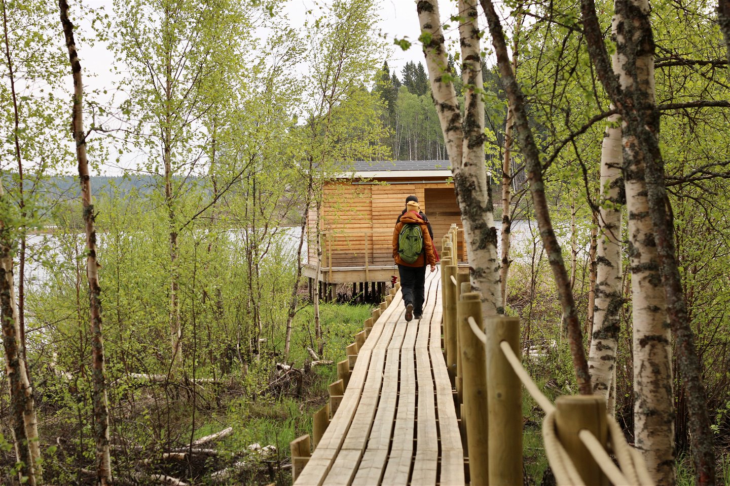
The nature reserve is situated adjacent to the village of Lövånger, just east of the E4 highway. Lookout points and the ramp for disabled visitors can be reached from Lövånger in the southern part of the reserve.
Kontakt
E-Mail-Adresse
Länsstyrelsen Västerbotten
Logotyp der Organisation
![]()
Fragen & Antworten
Stellen Sie eine Frage an andere Naturkartan-Nutzer.
Bewertungen
Das könnte Sie auch interessieren