

-
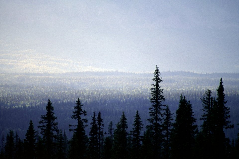
Foto: Mats Nilson -
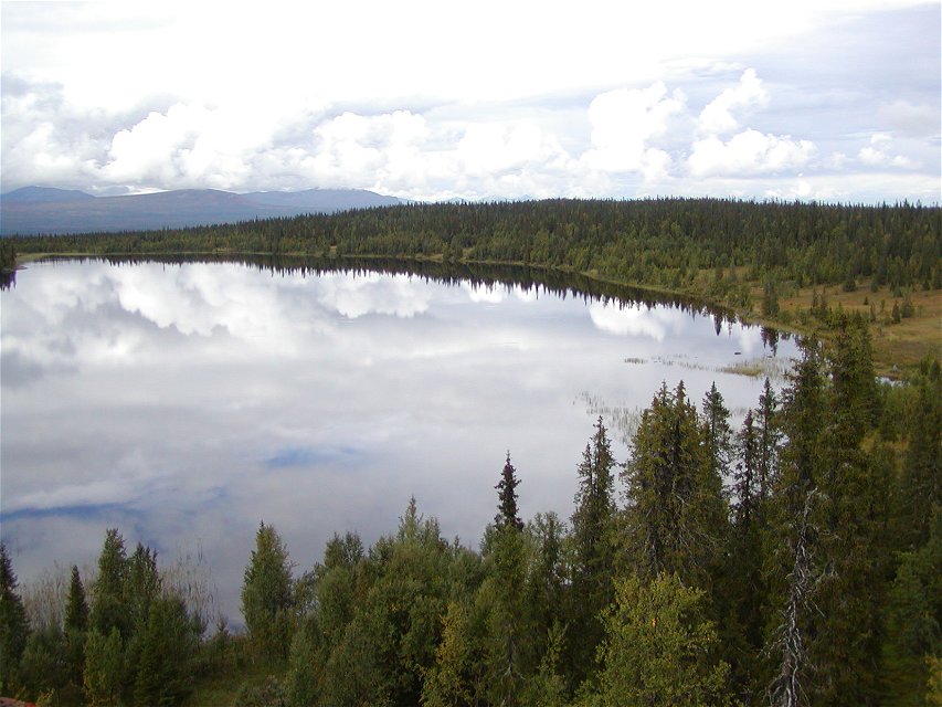
Foto: Jonas Grahn -
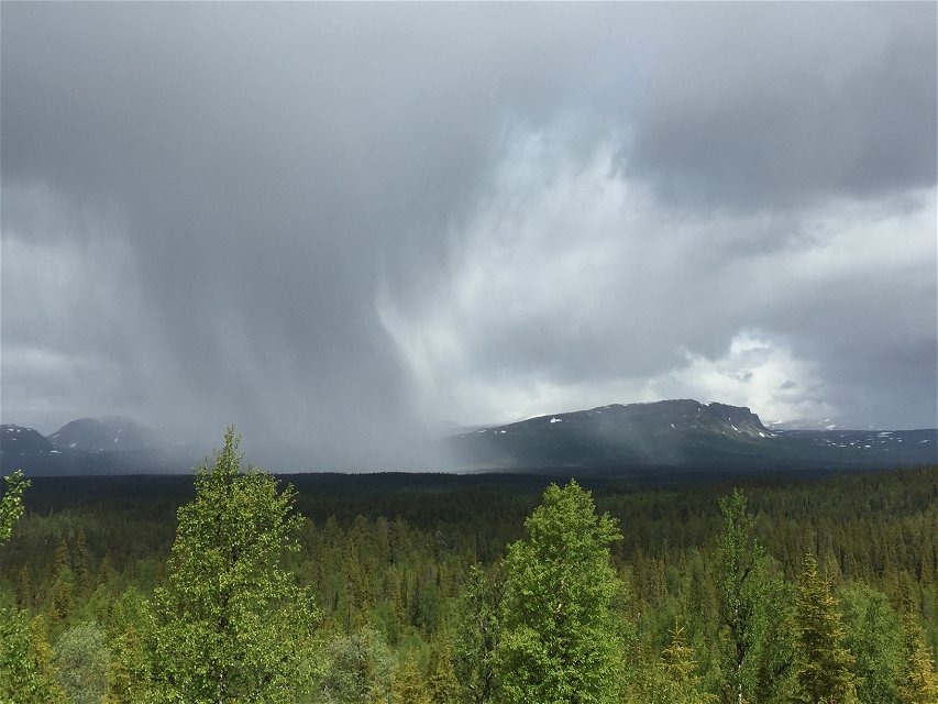
Foto: Jonas Gustafsson -

Foto: Länsstyrelsen Västerbotten -
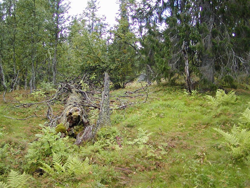
Foto: Jonas Grahn

Njakafjäll
Naturschutzgebiet
- Landkreis: Västerbottens län
- 6420.74 km von Ihnen entfernt
Aktionen
Beschreibung
A threatened ancient forest has been saved here for future generations. Following an intense nature conservation debate, Njakafjäll was set aside as a nature reserve in 2000.
The king among fungi
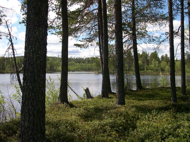
The name Njaka comes from the Sami work “njakka”, meaning inaccessible. Despite this, large parts of the forest have been affected by selective logging in times gone by. However, this does not prevent the continued presence of 600 year-old spruces and extremely thick trunks lying on the ground, home to rare fungi such as Fomitopsis rosea. Some of these remarkable organisms are dry, hard polypores, while others are tough and fleshy.
Birds and animals in Njakafjäll
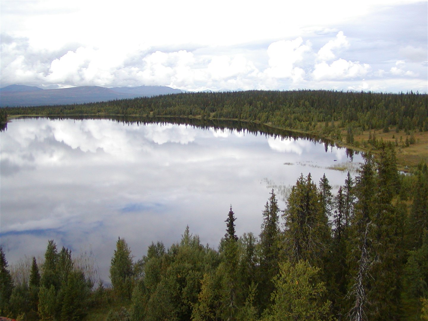
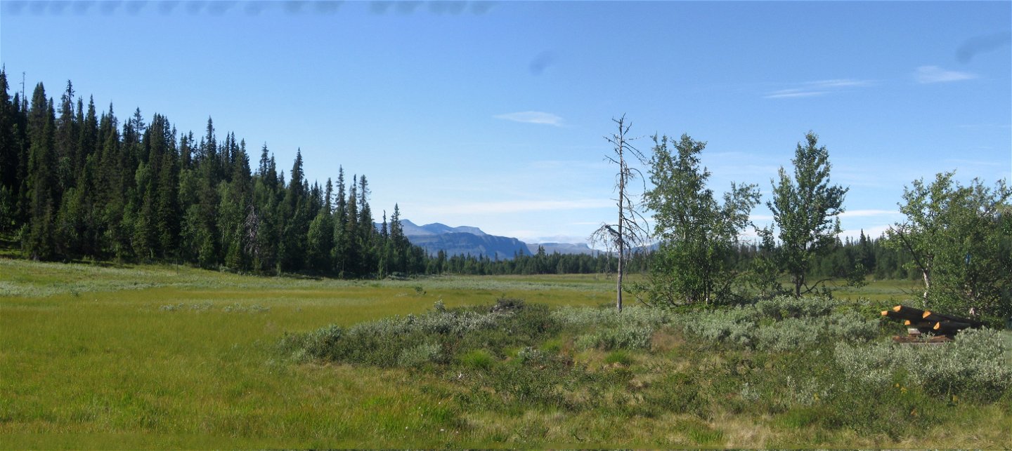
Njakafjäll is situated between the Kultsjöån and Marsån valleys. At 828 metres, the highest plateau, Stora Njakafjäll, reaches above the forest limit. The high slopes to the south, Stalonskollan, form the mountains’ eastern boundary.
On Njakafjäll you can come across both reindeer and elks, and perhaps even find an old bear’s den. Every winter, wolverines and lynxes are tracked in Njakafjäll. If you are lucky, the taiga’s resident birds – the Siberian jay, the three-toed woodpecker and the Siberian tit – will show themselves during your visit.
Aktivitäten und Einrichtungen
-
Naturschutzgebiet
Anleitung
Route 1067 towards Saxnäs runs along the reserve’s southern boundary. To the west of the reserve, a forest road goes in from Kultsjöluspen to Svartsjön. Forest roads also enter the reserve from the north, between Grytsjö and Blaikliden, as well as from the east via Hällmyrvägen road south of Marsån.
Kontakt
E-Mail-Adresse
Länsstyrelsen Västerbotten
Logotyp der Organisation
![]()
Fragen & Antworten
Stellen Sie eine Frage an andere Naturkartan-Nutzer.
Bewertungen
Das könnte Sie auch interessieren