
-

Foto: Per Nihlén -
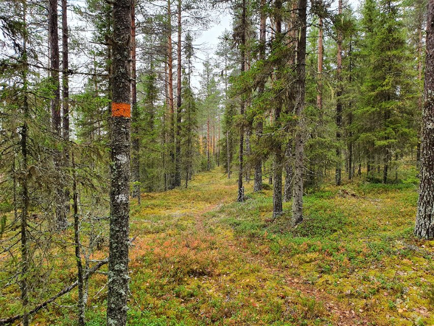
Foto: Länsstyrelsen Västerbotten -

Foto: Per Nihlen

Stor-Bränntjärnmyran
Naturschutzgebiet
- Landkreis: Västerbottens län
- 6649.39 km von Ihnen entfernt
Aktionen
Beschreibung
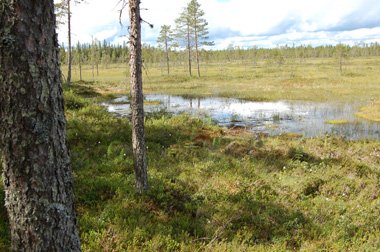
The old path from Rödå up to the hay meadows is still visible today. It is marked and easy to walk along. The remains of huts and barns, as well as traces of the old dam, can be seen as you follow the path. You can walk in the footsteps of the hay-makers. At the end of the 19th century the area looked more like a lake. The farmers at Överrödå had dammed up the water in Nedre Krokmyran mire in order to achieve a better hay harvest.
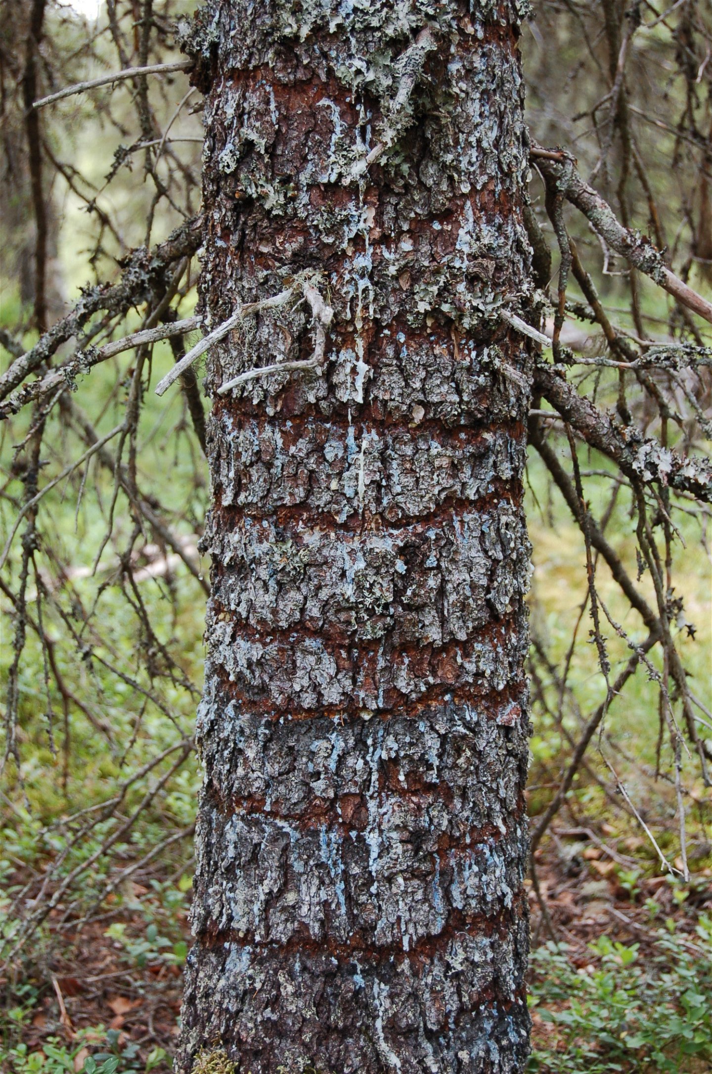
Plenty of old spruces
Many of the pines in the area have been cut down to make tar. The spruces were not used in the tar pits, but were allowed to remain. And they are now very old. Some have fallen down, but many are still standing now, with long lichens hanging from their branches.
Aktivitäten und Einrichtungen
-
Naturschutzgebiet
Zugänglichkeit
-
 Nähe eines Parkplatzes
Anleitung
Drive from Umeå towards Vindeln. Turn off to the right after passing Rödån. Drive to Mickelsträsk, approximately 15 km. Take the gravel road to the left and follow it for 6 km. Then turn left again. After a further 1.5 km, you will find the car park and the entrance to the nature reserve.
Kontakt
E-Mail-Adresse
Länsstyrelsen Västerbotten
Logotyp der Organisation
![]()
Fragen & Antworten
Stellen Sie eine Frage an andere Naturkartan-Nutzer.
Bewertungen
Das könnte Sie auch interessieren