The Blekingeleden Trail
Blekingeleden is a 260 km long walking trail running from Sölvesborg in the west to…


Hiking
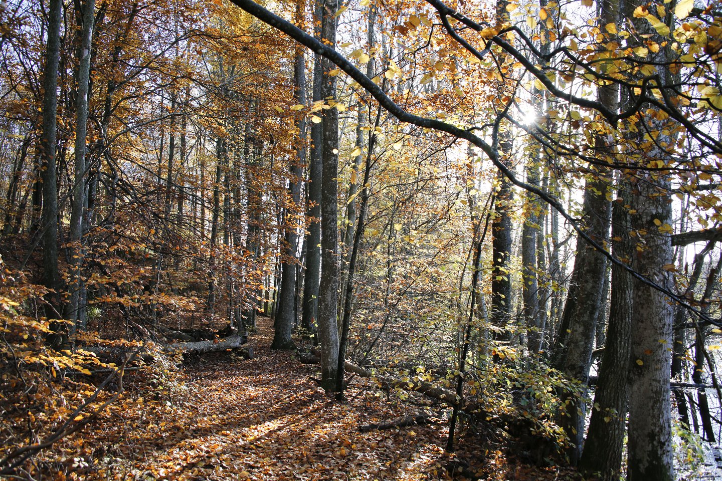
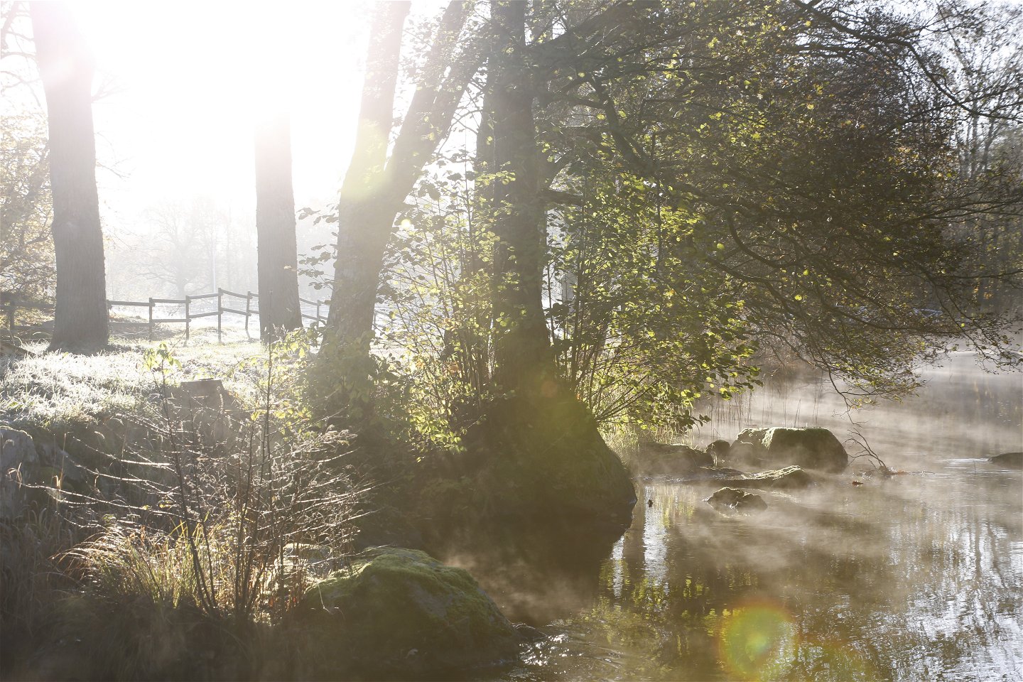
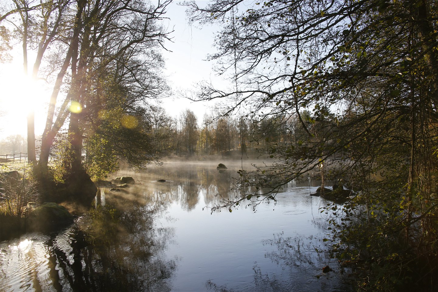
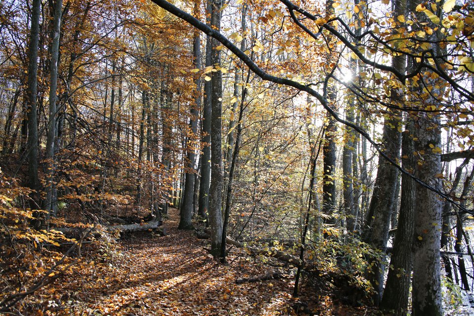
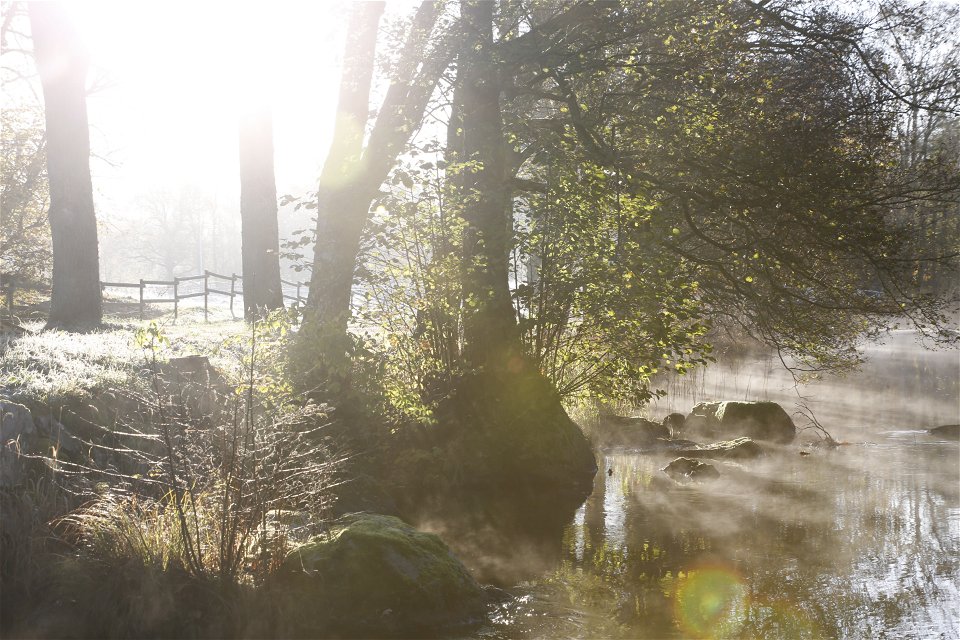
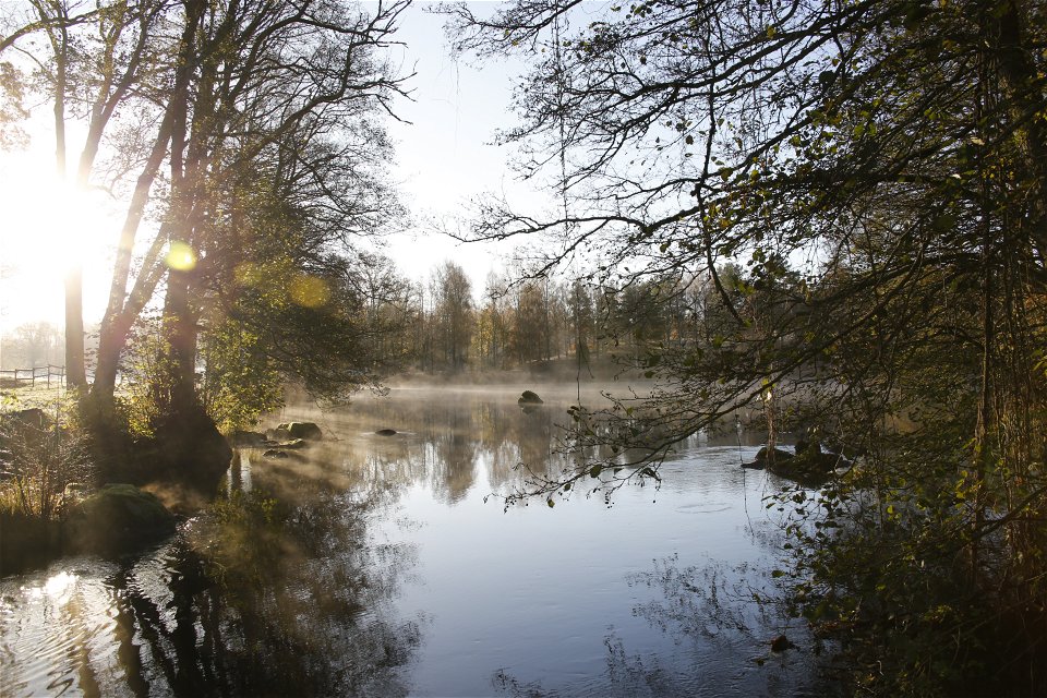
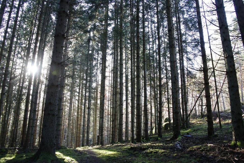
Through a forested landscape of meandering lakes and rivers, the trail starts to head towards the sea. From the beautiful bays of Bruksgylet lake in Nötabråne round to the plummeting depths of the Gamslebäcken river and the wetlands between the two Kroksjö lakes, the Blekingeleden Trail takes you through the garden of Sweden to the Persgärde nature reserve, where this stage of the trail ends.
The Långasjönäs paper mill is first referred to in 1782 and was fully operational up until 1919 when the mill burned down. Långasjönäs mainly manufactured hand-made paper, writing paper and absorbent paper mainly used for pressing flowers, using rags as the raw material.
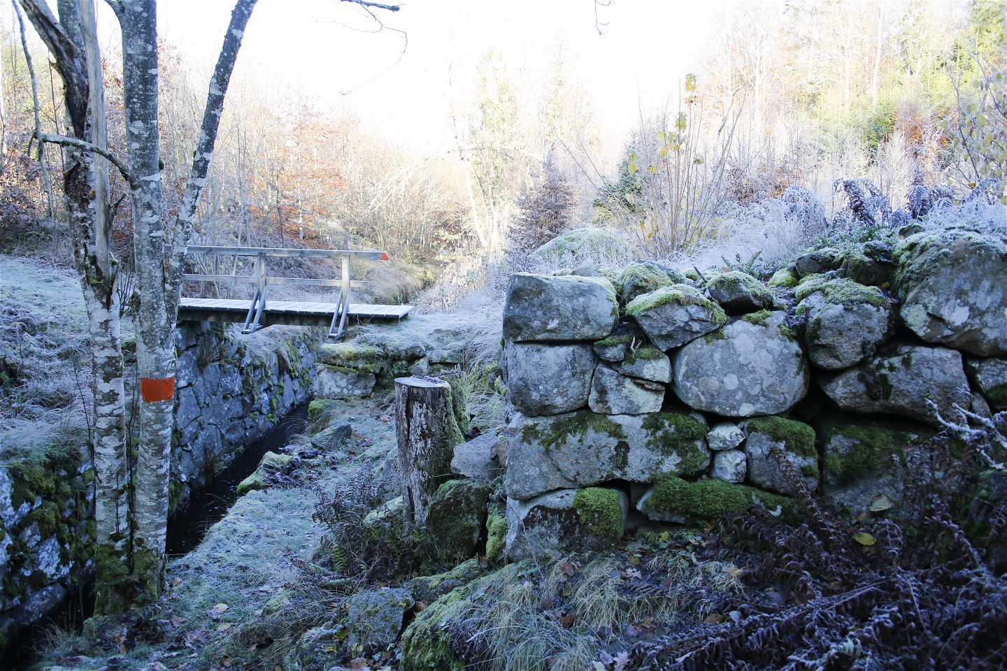
Gamslebäcken river runs through canal-like stone-edged channels, sometimes passing through tunnels. Originally there was a mill here and the mill race is still well preserved. The trail crosses Gamslebäcken via a sturdy wooden bridge and the trail continues through a typical Blekinge forest landscape with stone walls, meadows and small farms.
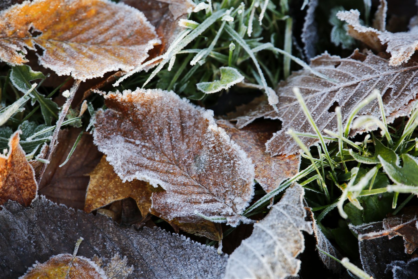
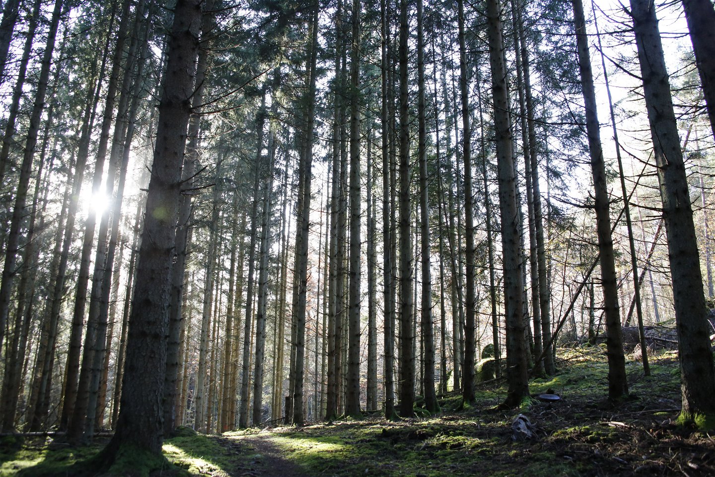
Persgärde nature reserve is known for its biodiversity. The area primarily comprises broadleaf woodland interrupted by meadows, former hayfields with a wide diversity of species, and classic grazing land. The nature reserve is in the middle of Blekinge’s area of less dense forest with oak and beech as the most common species of tree. Limited harvesting of trees in the past fifty years means the nature reserve has increasingly taken on the form of ancient woodland.
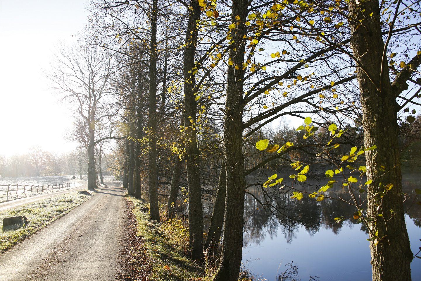
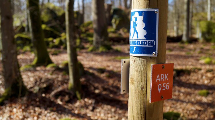
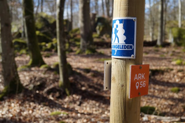
Blekingeleden is a 26-mile long walking trail running from Sölvesborg in the west to Bröms in the north-east. The terrain varies, with paths and gravel roads running through a mosaic landscape of forest, grazing, lakes and little fields. There is access to water and toilets on most of the sections of the trail. Blekingeleden is marked in orange on posts and signs. The trail is described from west to east but naturally it is up to you which direction you walk it in.
Sweden’s right of public access means visitors are free to explore the countryside. www.swedishepa.se
Hiking
Blekinge Arkipelag Kurpromenaden 4 372 36 Ronneby
Team ARK56
![]()
Ask a question to other Naturkartan users.
Blekingeleden is a 260 km long walking trail running from Sölvesborg in the west to…
Även om få saker slår nykokt kokkaffe som tillagats över öppen eld så är tilltugget…