


The Blekingeleden Trail
Blekingeleden is a 260 km long walking trail running from Sölvesborg in the west to…
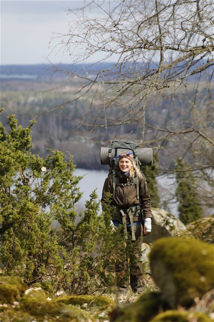
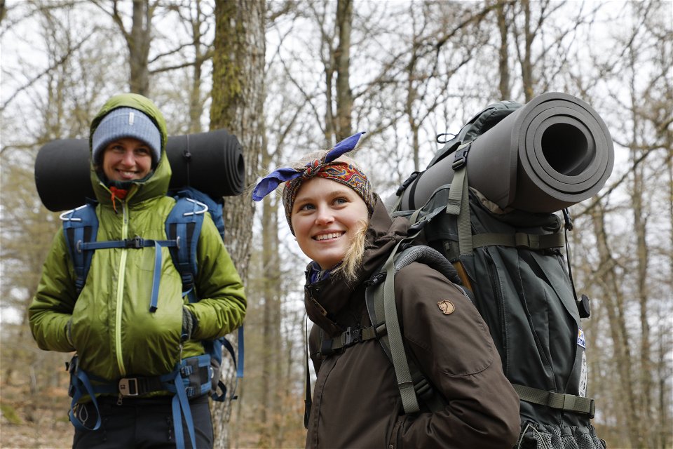
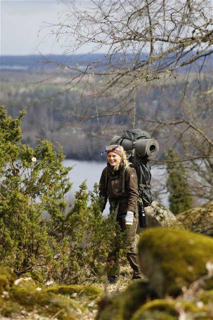

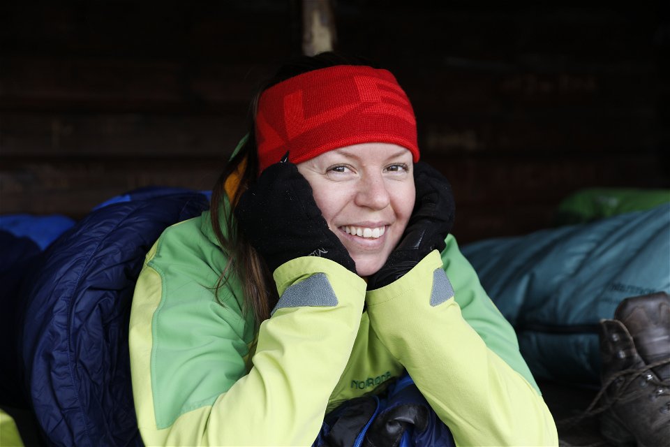


Hiking
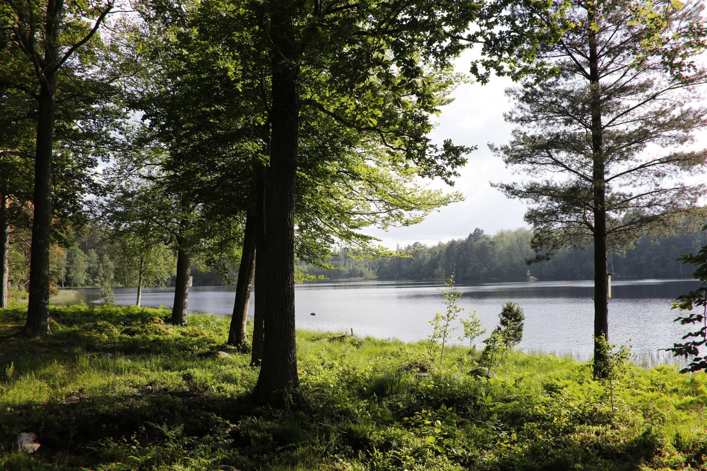
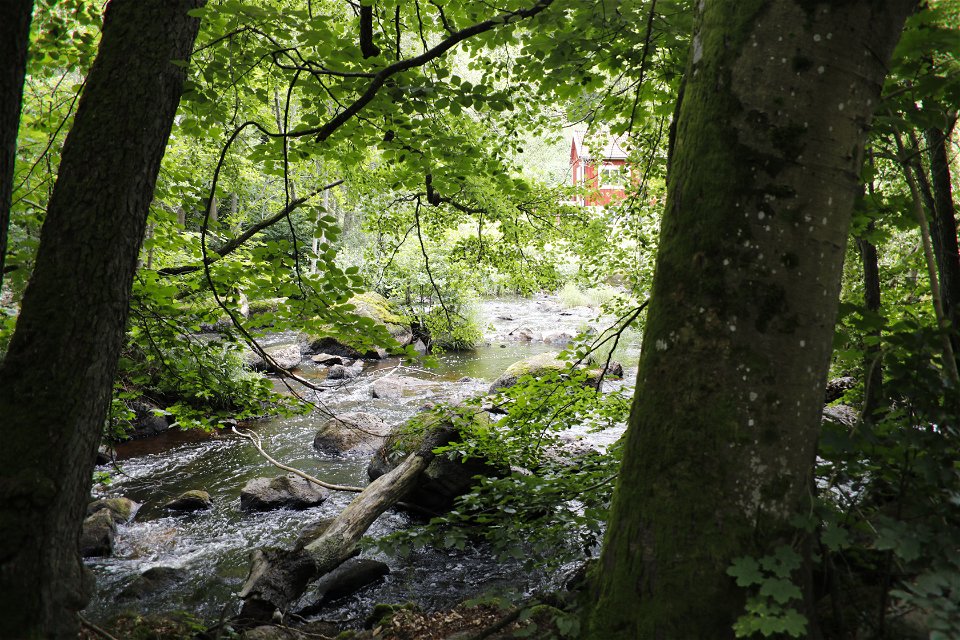
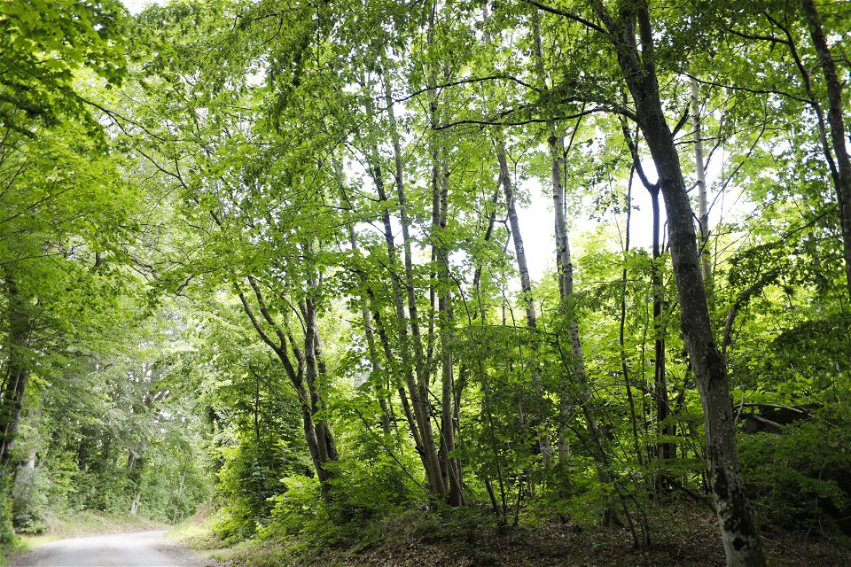
From Olofström in the heart of Sweden’s southernmost wilderness area surrounded by the Raslången and Halen lake system, the Blekingeleden Trail runs down to Näsum at the foot of the Sibbarpsdalen valley. The Blekingeleden Trail runs parallel with the Skåneleden Trail all the way to Östafors and there are several shelters along the shoreline of Halen shared with canoeists exploring the lake system.
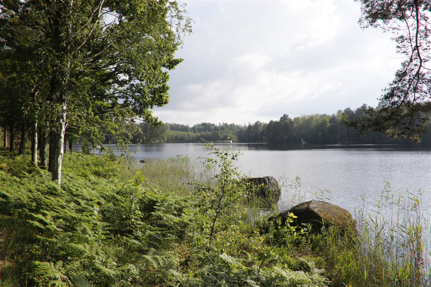
Halen nature reserve is very close to Olofström with beautiful countryside to explore. As a lake, Halen is low in nutrients and contains many larger and smaller islands. It is mainly home to white and yellow water lilies, alternate water-milfoil, alpine pondweed, small pondweed and Sparganium gramineum in the water and Menyanthes, water lobelia, Ranunculus reptans and needle spikerush along the shore.
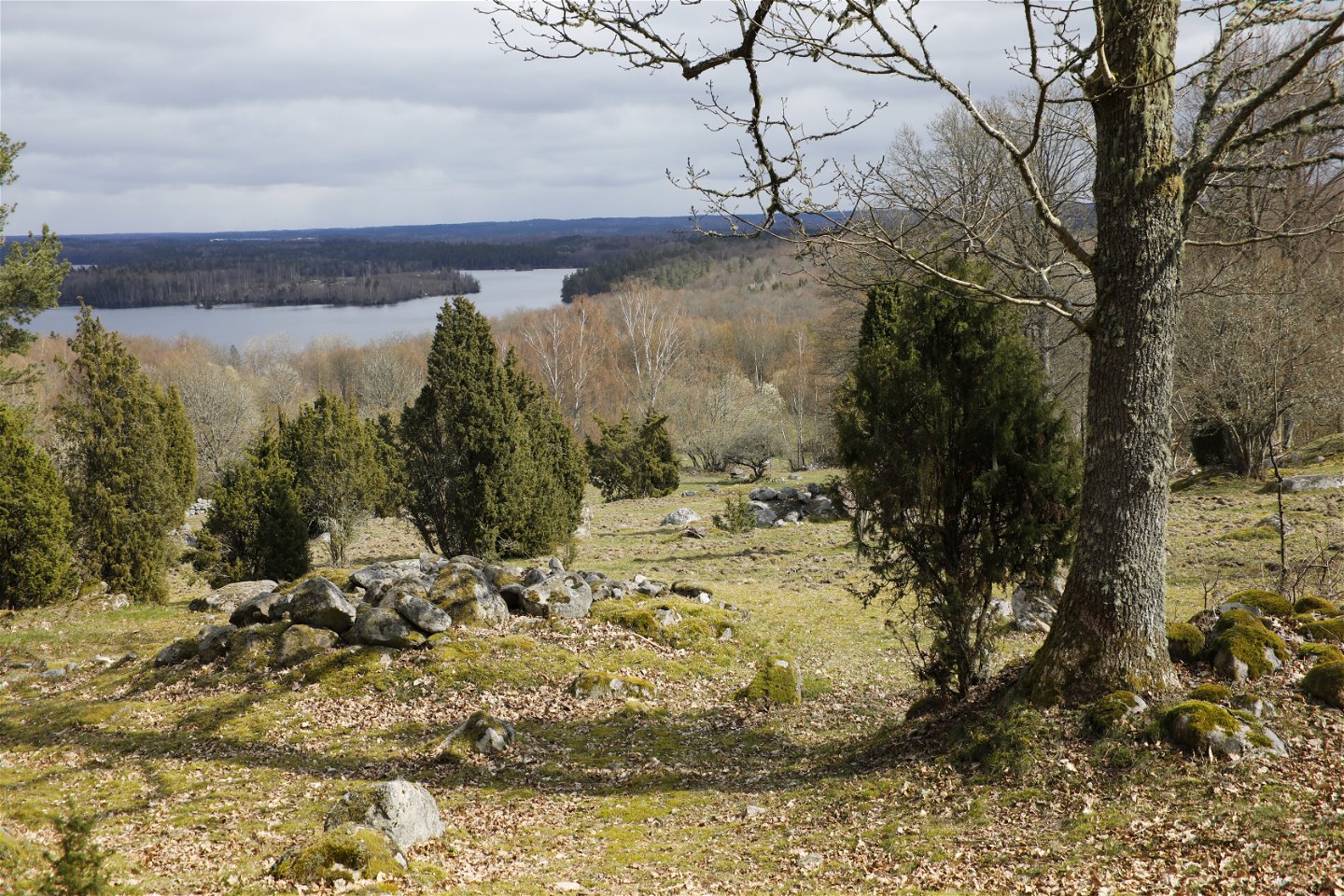
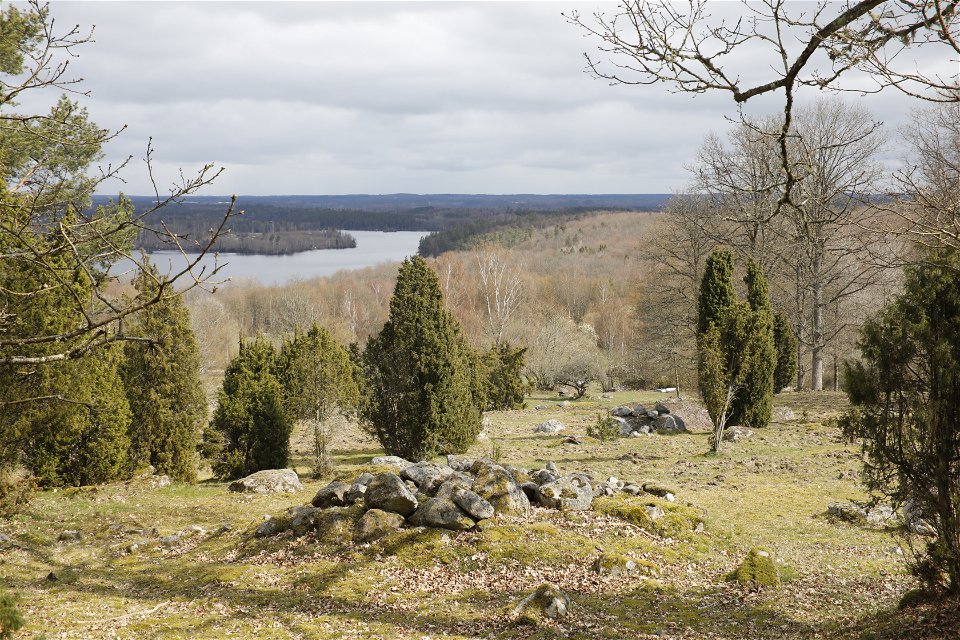
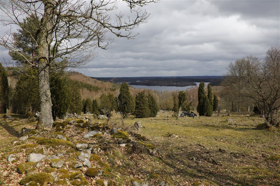
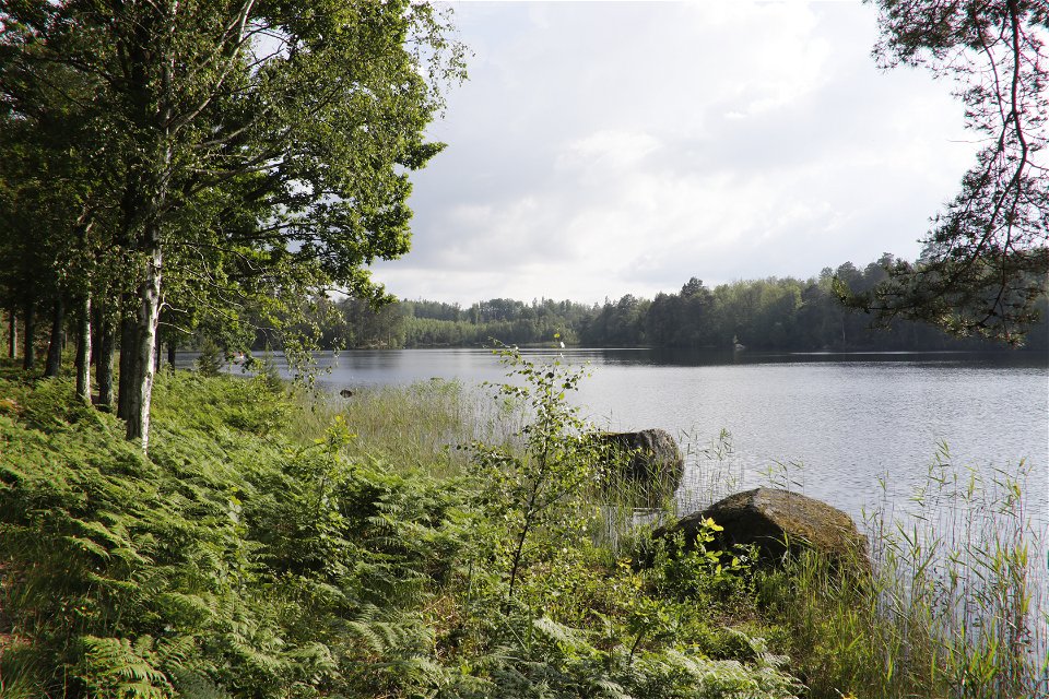
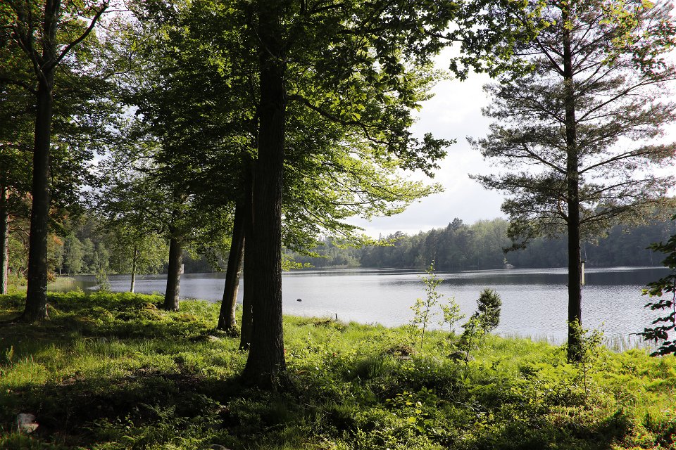
From the Boafall viewpoint you can get an uninterrupted view and gaze at the beautiful Halen lake system from above. Out in the middle of the water you can see the island of Söderön in the south of the lake. To the west, you can see the Raslången ecopark, 1,300 hectares of forest with a meandering shoreline where the forest grows right down to the water.
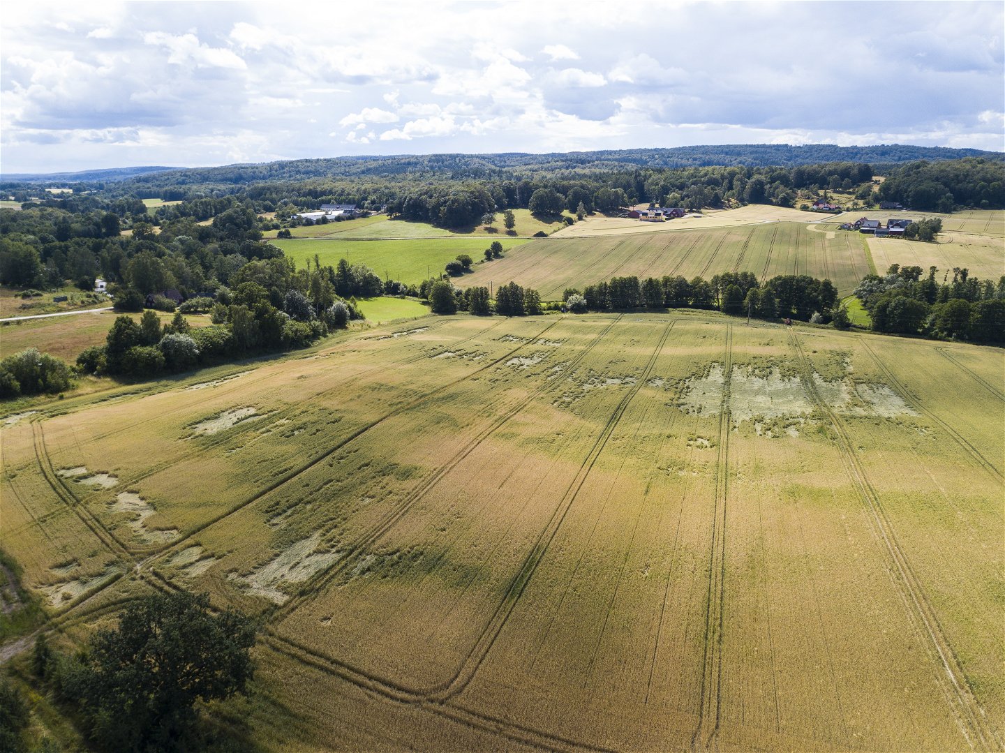
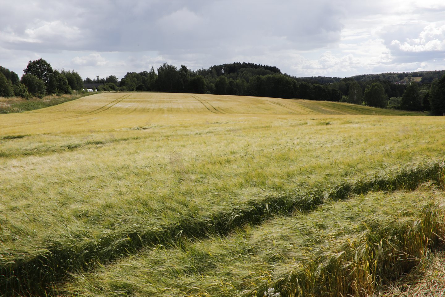
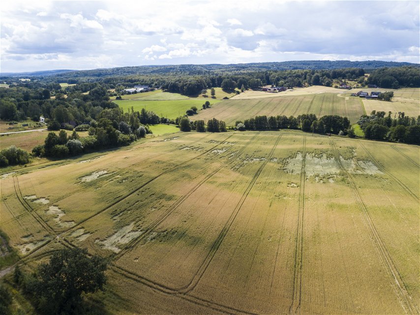
From the top of Sibbarpsdalen there are impressive views over the agricultural landscape with its rolling fields running right down to the bottom of the valley. Ryssberget and Västanåberget rose in height 1,700 million years ago, which was also when the unique minerals in the area were formed. Farming traditions going back centuries have shaped the valley and for a long time, this was the centre for Swedish hop production.
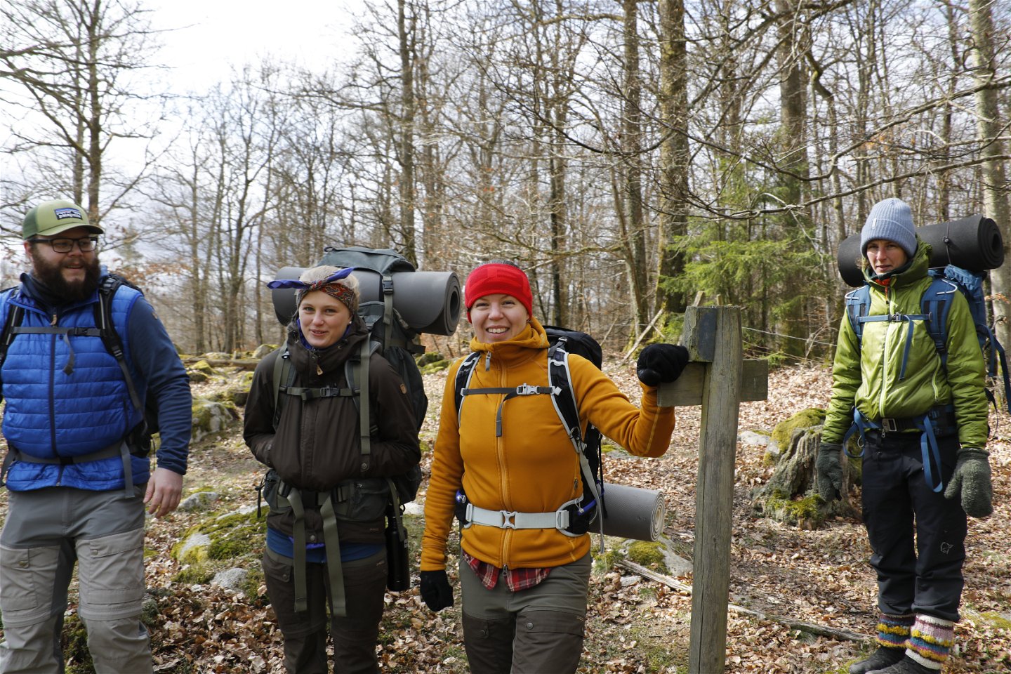
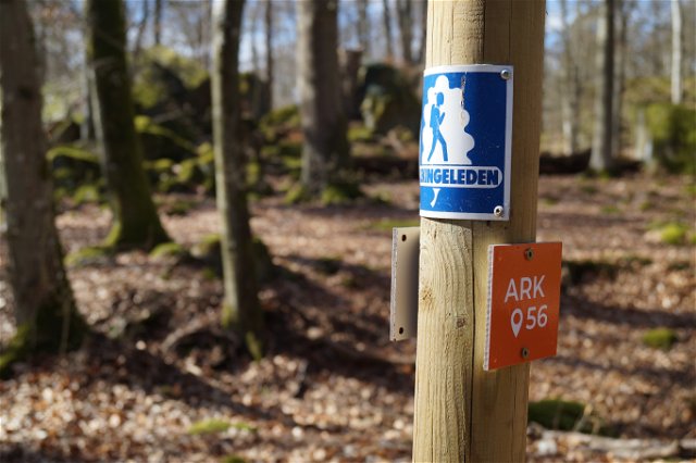
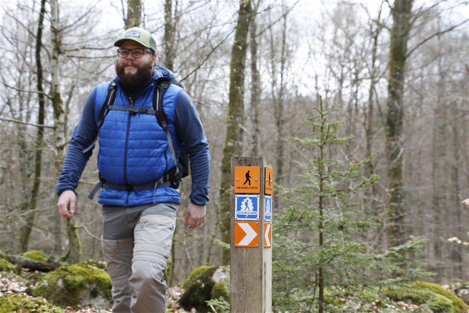
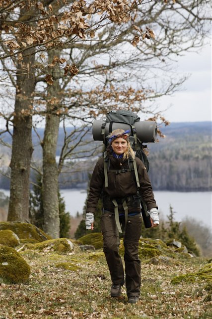
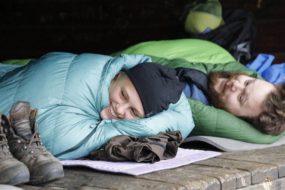
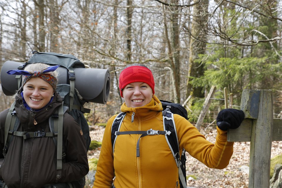
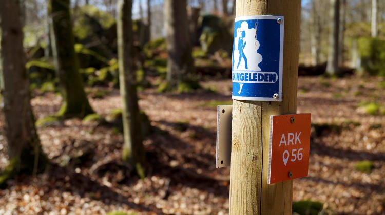
Blekingeleden is a 26-mile long walking trail running from Sölvesborg in the west to Bröms in the north-east. The terrain varies, with paths and gravel roads running through a mosaic landscape of forest, grazing, lakes and little fields. There is access to water and toilets on most of the sections of the trail. Blekingeleden is marked in orange on posts and signs. The trail is described from west to east but naturally it is up to you which direction you walk it in.
Sweden’s right of public access means visitors are free to explore the countryside. www.swedishepa.se
Hiking
Blekinge Arkipelag Kurpromenaden 4 372 36 Ronneby
Team ARK56
![]()
Ask a question to other Naturkartan users.
Blekingeleden is a 260 km long walking trail running from Sölvesborg in the west to…

Även om få saker slår nykokt kokkaffe som tillagats över öppen eld så är tilltugget…