


The Blekingeleden Trail
Blekingeleden is a 260 km long walking trail running from Sölvesborg in the west to…


Hiking
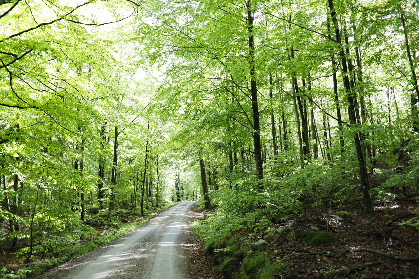
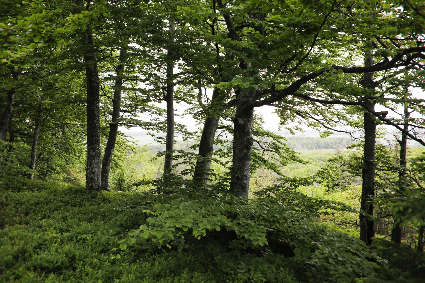
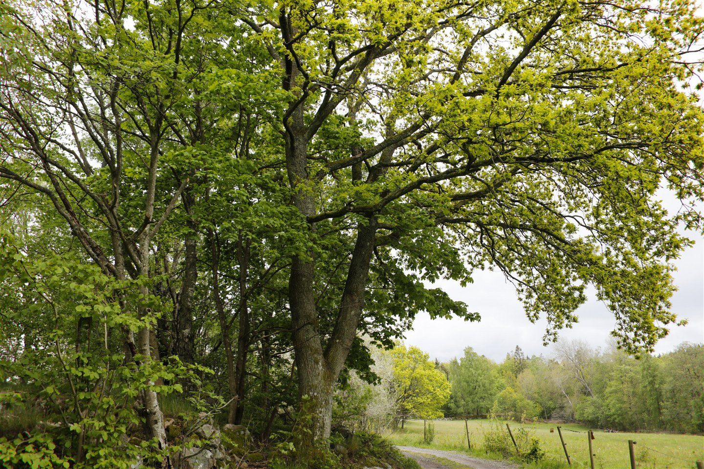
The Blekingeleden Trail runs from the edge of the sea in Sölvesborg deep into the beechwoods on the ridges of Ryssberget with fantastic views over the drained lake Vesan to the east. Walk along pleasant forested paths as the light filters through the leaves of the trees, beech, oak and hornbeam. Grundsjön, your destination at the end of this section, is a popular lake for fishing.
The medieval town of Sölvesborg enjoys a beautiful location on an inlet just a few kilometres from the border with Skåne. The medieval street layout is still clearly visible in the town centre, with eight streets running at right-angles from the corner of the main square. To the north-west of the square lies the medieval church S:t Nikolai kyrka, named after the patron saint of sailors. There are toilets at the railway station, the library and the tourist office.
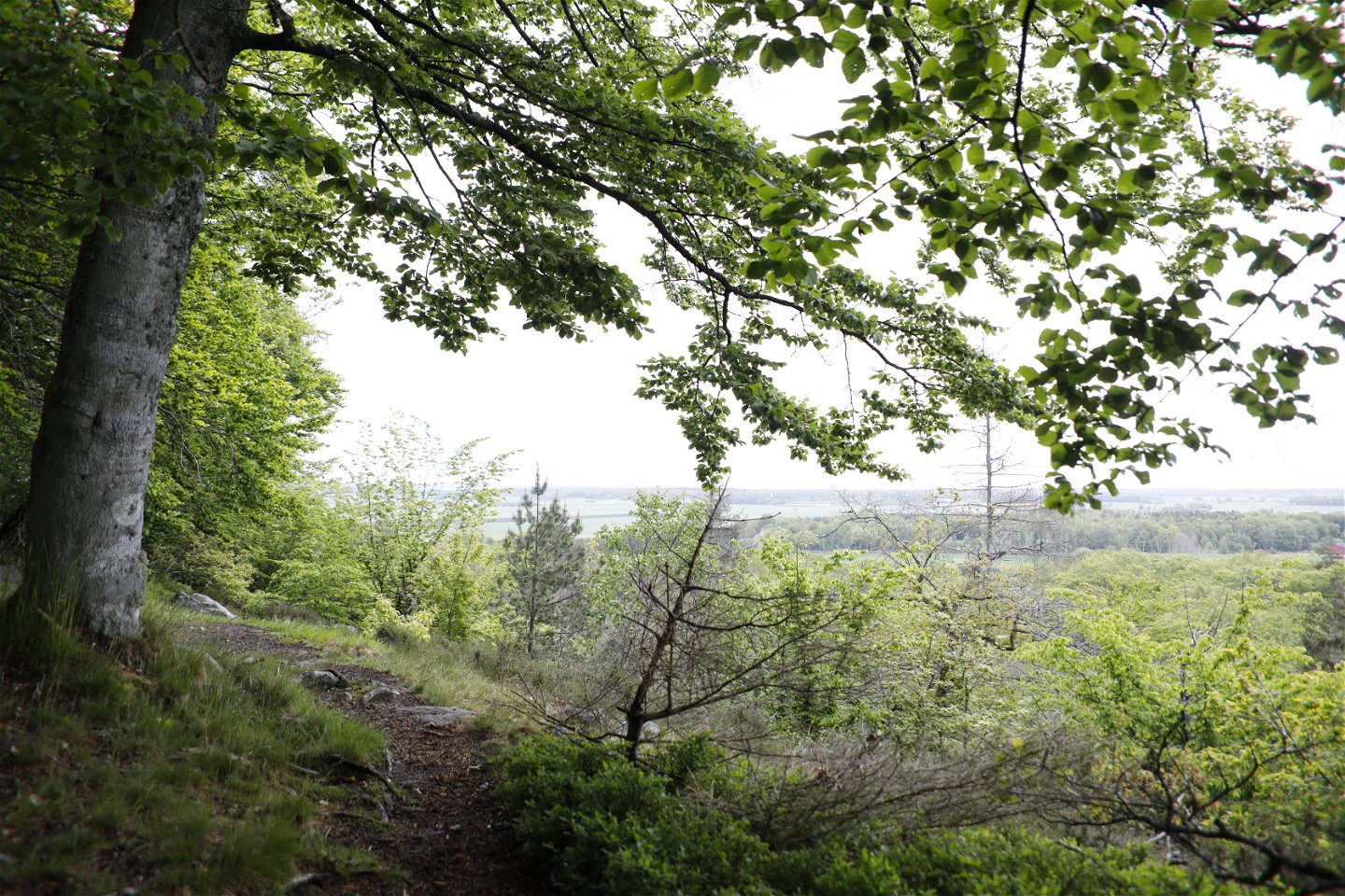
Ryssberget rises 150 metres above sea level offering impressive views across the drained lake Vesan and Listerlandet. Ryssberget is known for its deep forests and land teeming with game, where you may encounter elk, red deer, fallow deer, roe deer, wild boar and mouflon sheep.
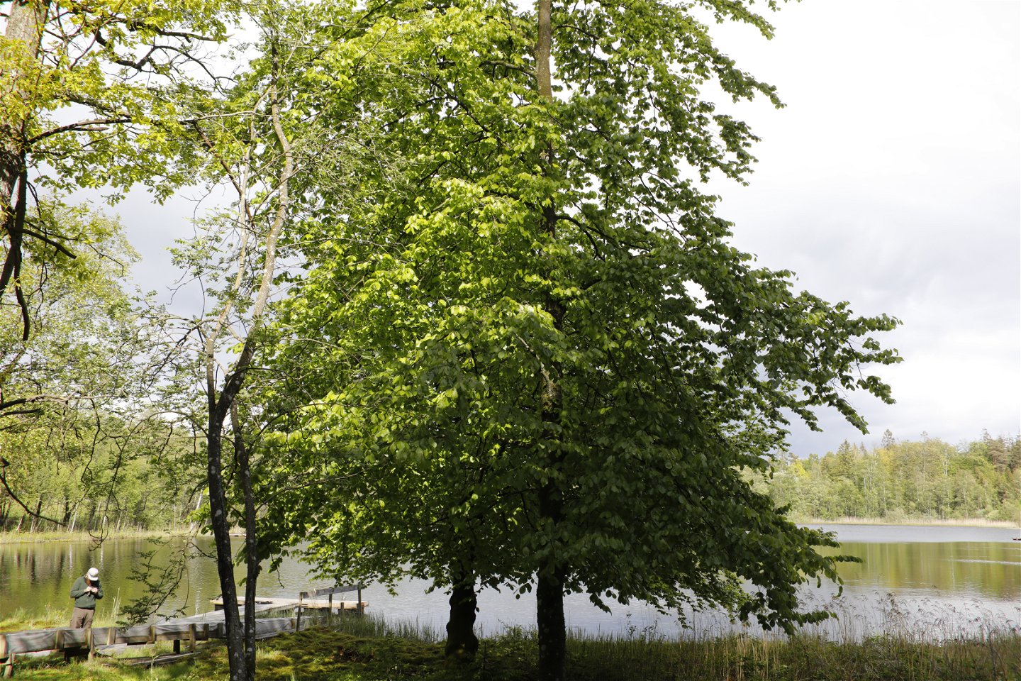
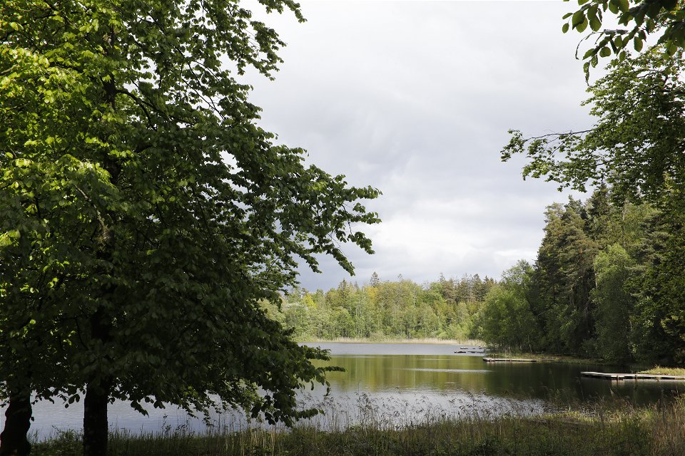
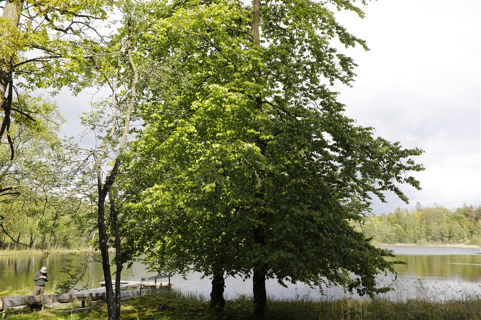
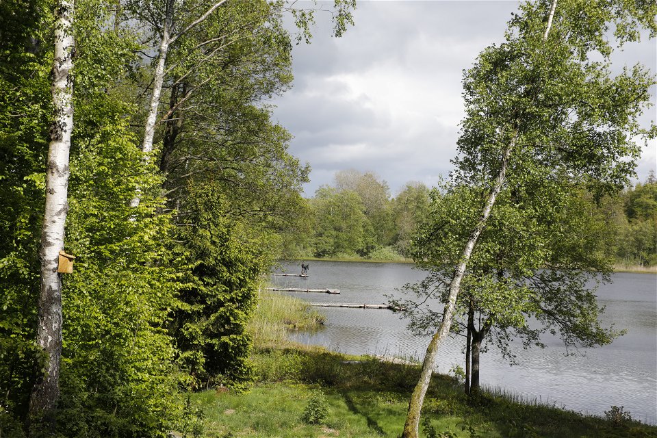
Grundsjön is a small, shallow lake at the top of Ryssberget known for its excellent lake fishing. There are floating jetties round the whole lake and the water is full of rainbow trout, pike, perch and roach. You will need a fishing permit but can buy one from the vending machine on arrival.
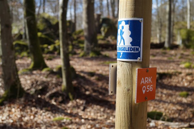
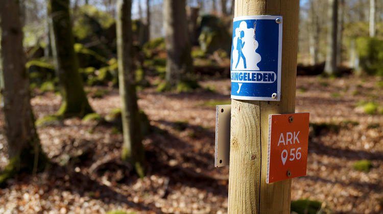
Blekingeleden is a 26-mile long walking trail running from Sölvesborg in the west to Bröms in the north-east. The terrain varies, with paths and gravel roads running through a mosaic landscape of forest, grazing, lakes and little fields. There is access to water and toilets on most of the sections of the trail. Blekingeleden is marked in orange on posts and signs. The trail is described from west to east but naturally it is up to you which direction you walk it in.
Sweden’s right of public access means visitors are free to explore the countryside. www.swedishepa.se
Hiking
Blekinge Arkipelag Kurpromenaden 4 372 36 Ronneby
Team ARK56
![]()
Ask a question to other Naturkartan users.
Blekingeleden is a 260 km long walking trail running from Sölvesborg in the west to…