The Blekingeleden Trail
Blekingeleden is a 260 km long walking trail running from Sölvesborg in the west to…


Hiking
Strax söder om Törneryd, omkring en kilometer söder om vägskälet där Blekingeleden leds fram längs Törnerydsvägen har Karlshamns kommun infört en alternativ rutt för dig som vandrar med hund. Blekingeleden går nämligen genom en kohage där korna kan skrämmas av hundens närvaro och markägaren vill att du vandrar den alternativa vägen längs Törnerydsvägen och sedan norrut längs Tockarpsvägen (1,7 km) där du ansluter till den ordinarie leden. Tack för hjäpen!
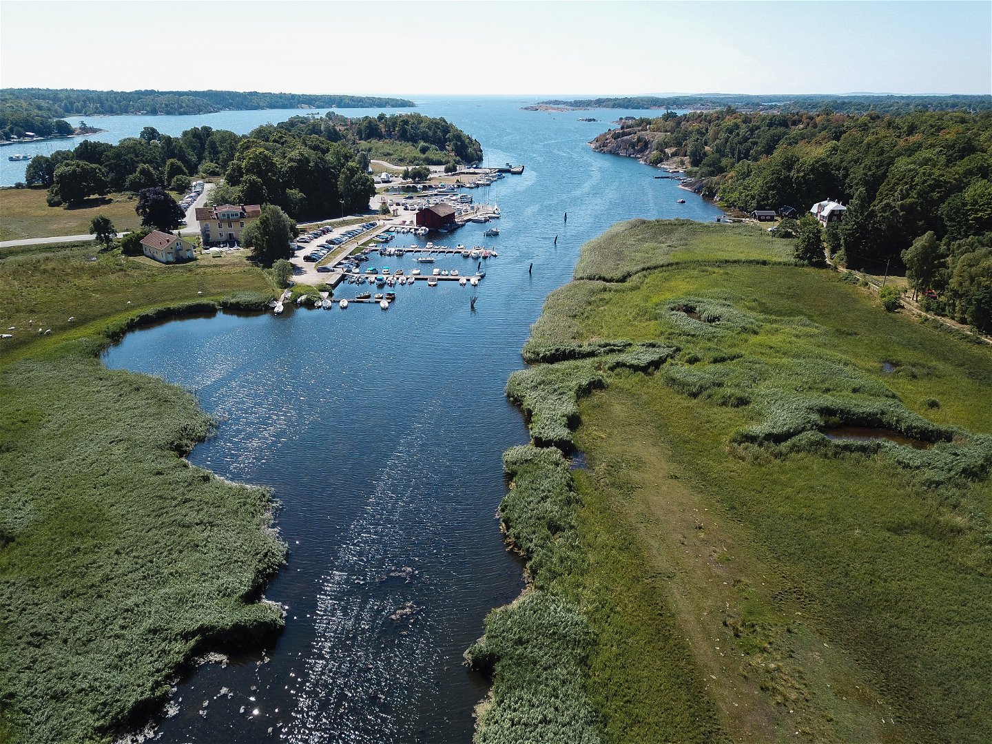
Starting in Persgärde, follow the valley south through Törneryd with the sea far off on the horizon. This section takes you from the delightful lakes inland to the bare rock on the shoreline. Järnavik is one of Blekinge’s most popular harbours and one of the hubs of ARK56. The boat to Tjärö runs from Järnavik.
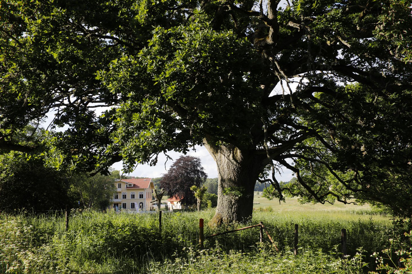
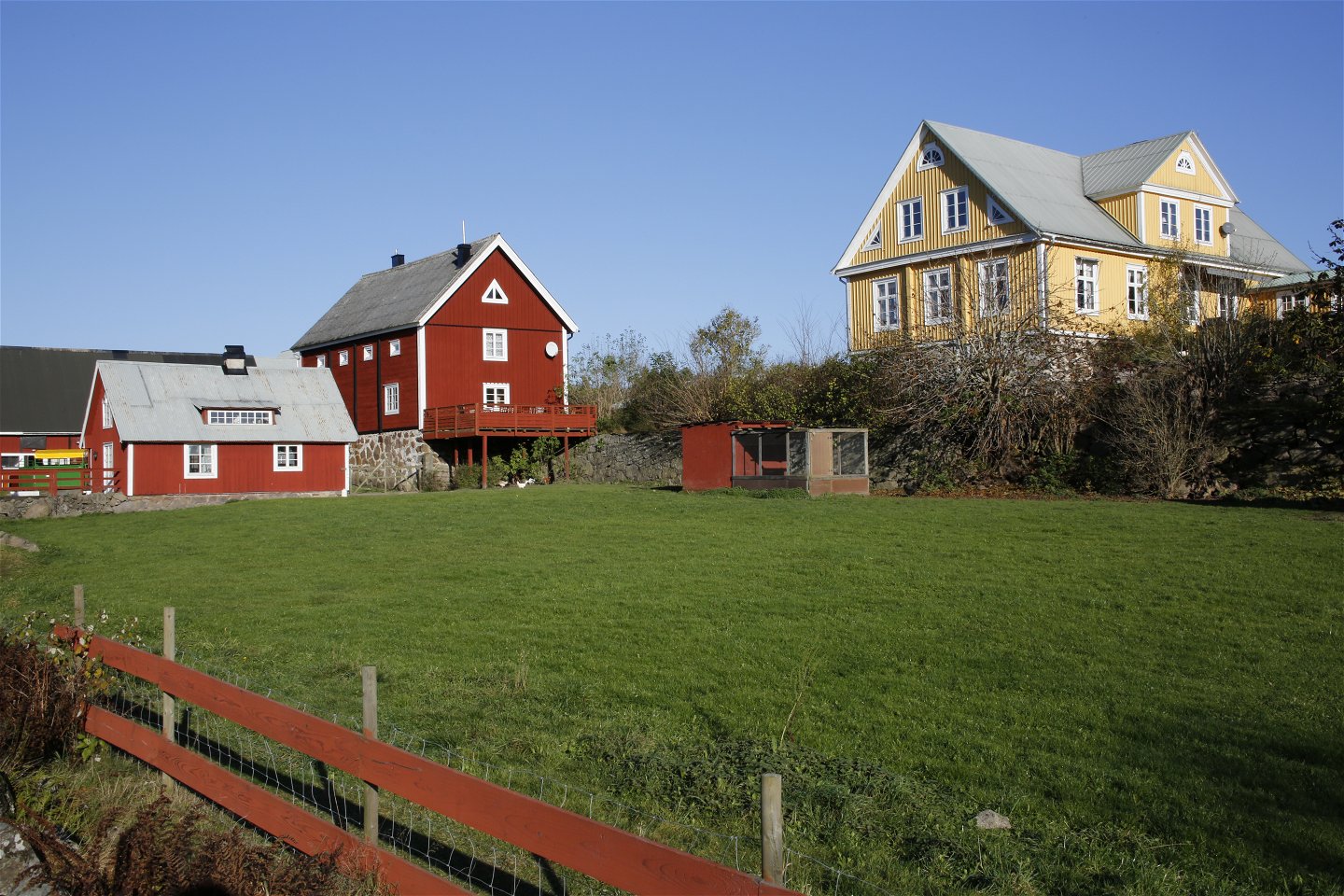
Just south of Missegyl the silhouettes of the two farms Riksdagsmannagårdarna can be seen to the north. These are impressive buildings set in beautiful countryside, interwoven by Törnerydsvägen, the road that wends its way from the forests of northern Blekinge over Halahult with its prehistoric sacrificial grove and on through the valley with its flat farmland in the south.
Järnavik nature reserve mainly comprises broadleaf woodland, oak, beech, hornbeam, linden, maple and elm. There is also hazel, hawthorn, juniper, blackthorn and a number of different roses. On the ground grow lily-of-the-valley, hepatica, dog’s mercury and celandines.
In Järnavik the land drops steeply into the sea. The ravines beneath the water are as deep as the cliffs are high above it. In the medieval period Järnavik was one of the best natural harbours on the Blekinge coast and German and Dutch ships loaded and unloaded cargo here for hundreds of years. They mainly traded in animal hides, wooden goods and tar, which was shipped from Järnavik to customers on the other side of the Baltic.
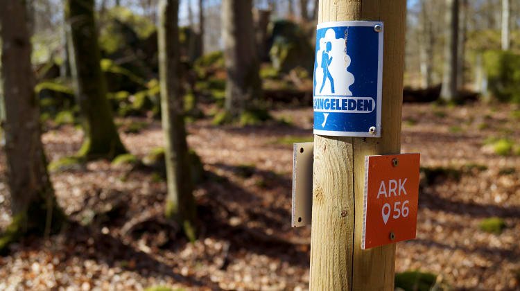
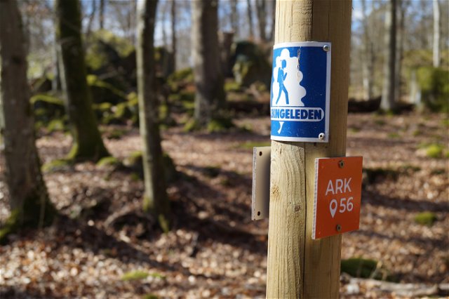
Blekingeleden is a 26-mile long walking trail running from Sölvesborg in the west to Bröms in the north-east. The terrain varies, with paths and gravel roads running through a mosaic landscape of forest, grazing, lakes and little fields. There is access to water and toilets on most of the sections of the trail. Blekingeleden is marked in orange on posts and signs. The trail is described from west to east but naturally it is up to you which direction you walk it in.
Sweden’s right of public access means visitors are free to explore the countryside. www.swedishepa.se
Hiking
Blekinge Arkipelag Kurpromenaden 4 372 36 Ronneby
Team ARK56
![]()
Ask a question to other Naturkartan users.
Blekingeleden is a 260 km long walking trail running from Sölvesborg in the west to…
Även om få saker slår nykokt kokkaffe som tillagats över öppen eld så är tilltugget…
