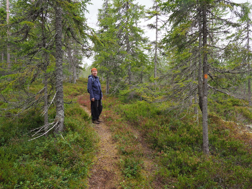
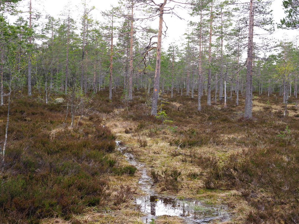
• Tidig vår och myrar
    Tidig vår och myrar
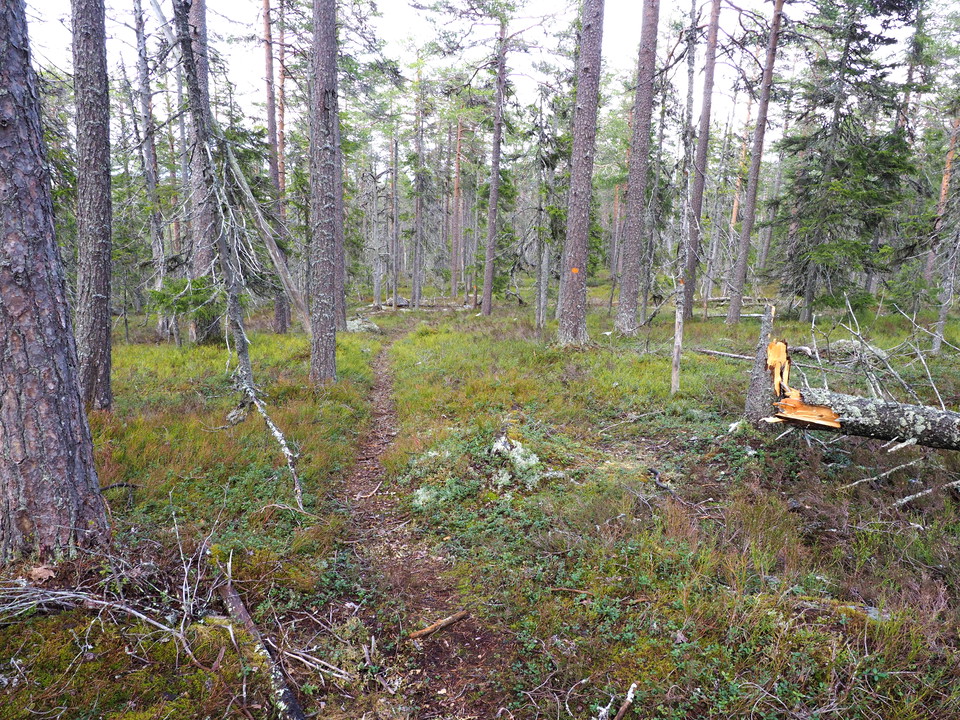
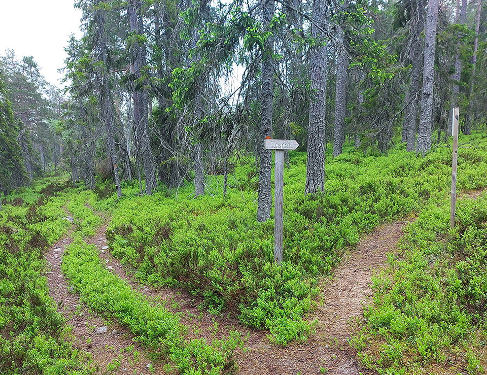
  • Upp mot toppen
    Upp mot toppen

Stigar, Fjällberget

  • Hiking
3.907214254671882 of 5 stars
3.9    See reviews

Trail details

  • Length 5.1 km
  • Difficulty Blue — medium

Actions

  • Directions

Description

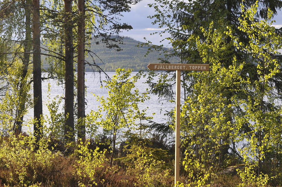
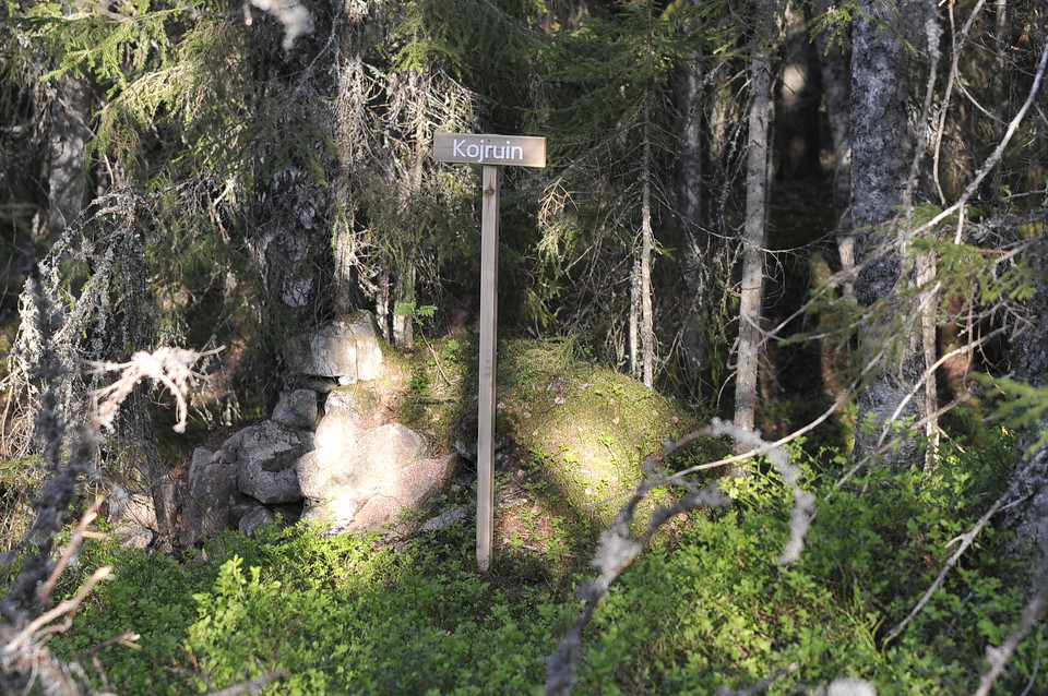
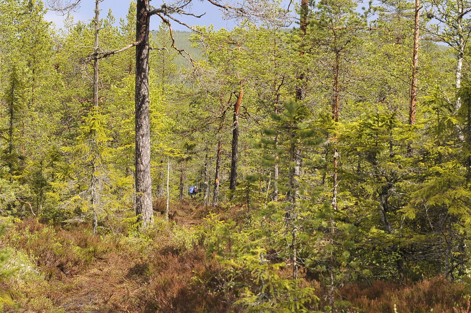
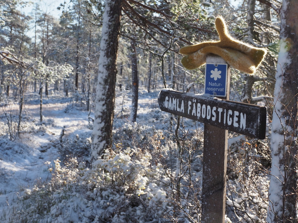
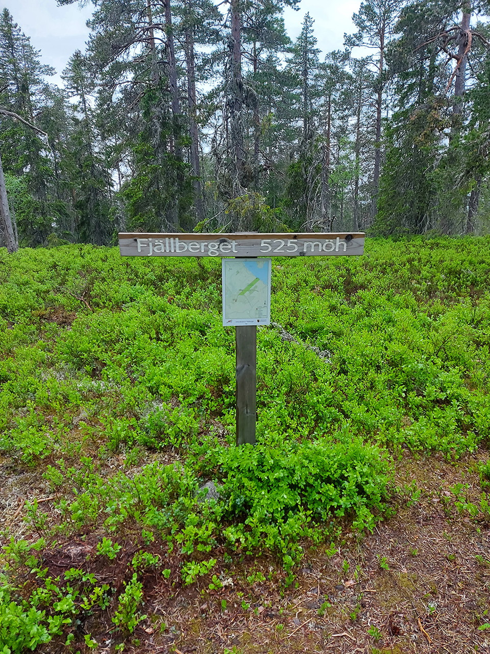
Fjällberget is the highest mountain in the municipality and an area with a great sense of wilderness. For our region, there are large areas of natural forest here, some of which are formally protected (nature reserves, biotope protection, nature conservation agreements). The path from Vådsjön and up the mountain leads partly over sloping bogs with windswept and crooked old pines - here you almost get a feeling of being in the mountains. Remember to turn around to admire the view, further up towards the flat top you go into the forest. The old shepherd's hut trail ends at an older hygge, but there you can climb a few meters and get a wide view of the forest and lake landscape.

Weather forecast (at 12:00)

Loading…

Get here by public transport

Activities And Facilities

  • Hiking

Surface

On the hill up from Vådsjön, the path goes over bogs and through damp forest so rainy periods it is very wet.

Hills

Steady climb to the top.

Contact

Address

Telefon: 0247-80000

Email address

Kundtjänst

Please be aware that some of these texts have been automatically translated.

I’ve been here 8

I want to go here 12

Reviews

3.9

1 review

3.907214254671882 of 5 stars

5 :
0.0%
4 :
0.0%
3 :
100.0%
2 :
0.0%
1 :
0.0%
3 of 5 stars

Inte nån vidare utsikt (pga träd) men coolt ändå

Questions & Answers

Ask a question to other Naturkartan users.

Users images

Share your photos of the place!

Naturkartan

Open this in the app