


Mittlandsleden Gråborg-Ismantorps borg
Hiking
- County: Mörbylånga - Öland
- 6914.29 km away from you
Trail details
- Length 15.0 km
Actions
Description
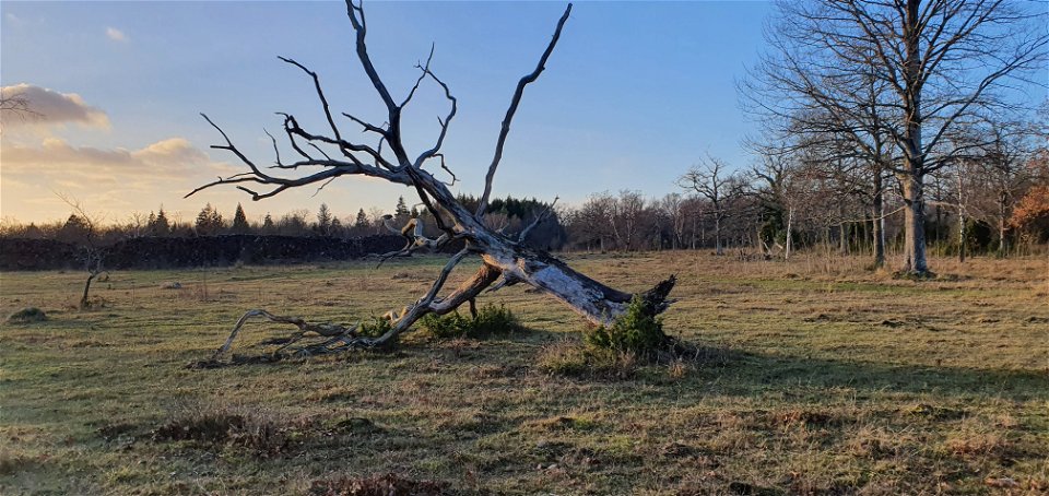
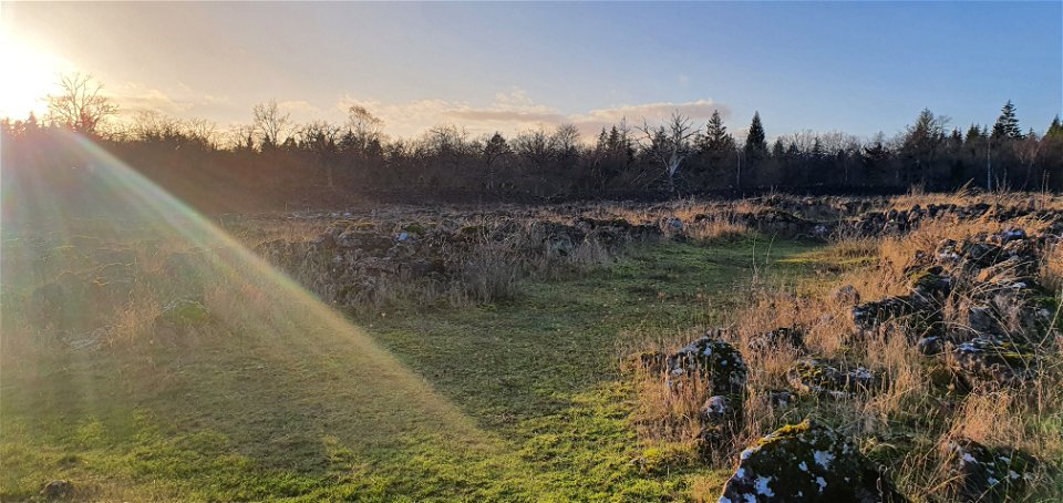
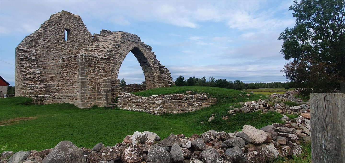
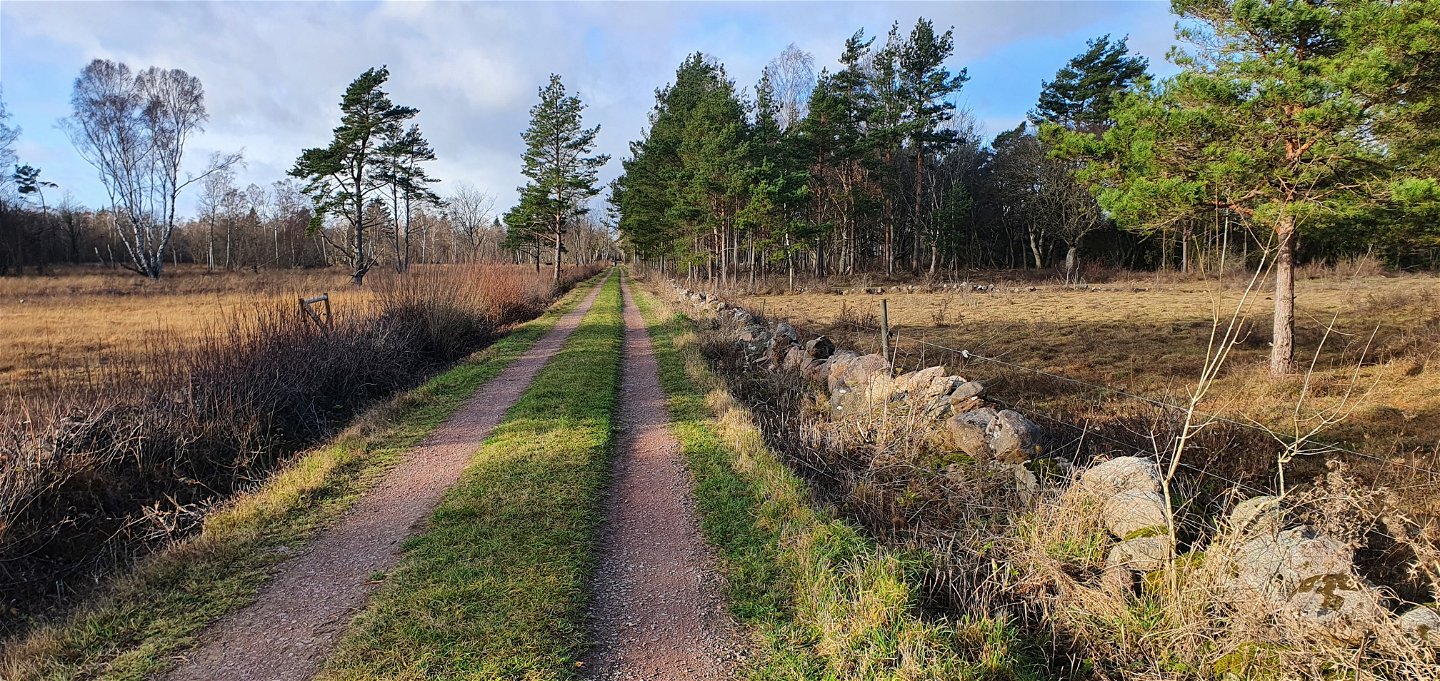
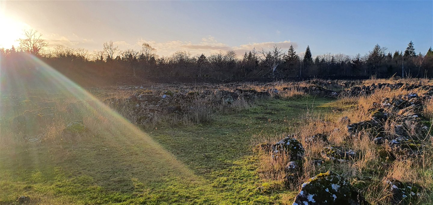
The 50 kilometer long Mittlandsleden offers a scenic hike. Discover exciting ancient remains, beautiful village environments and interesting plants and insects.
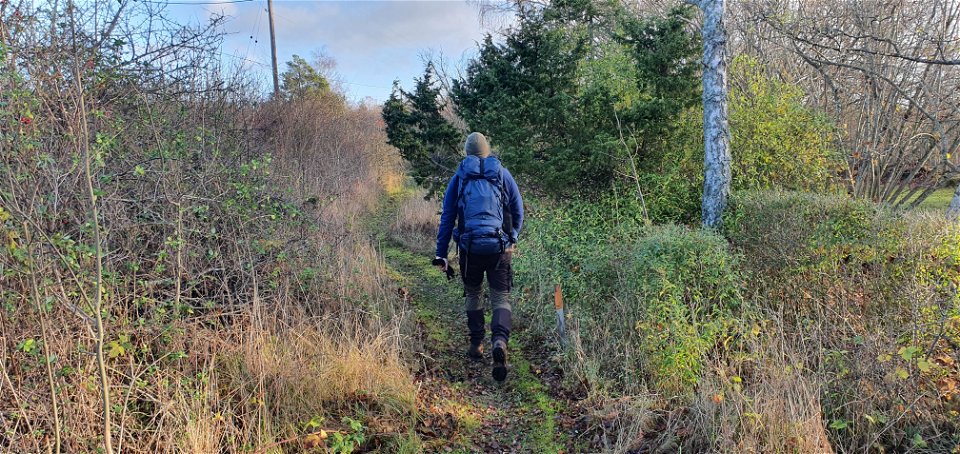
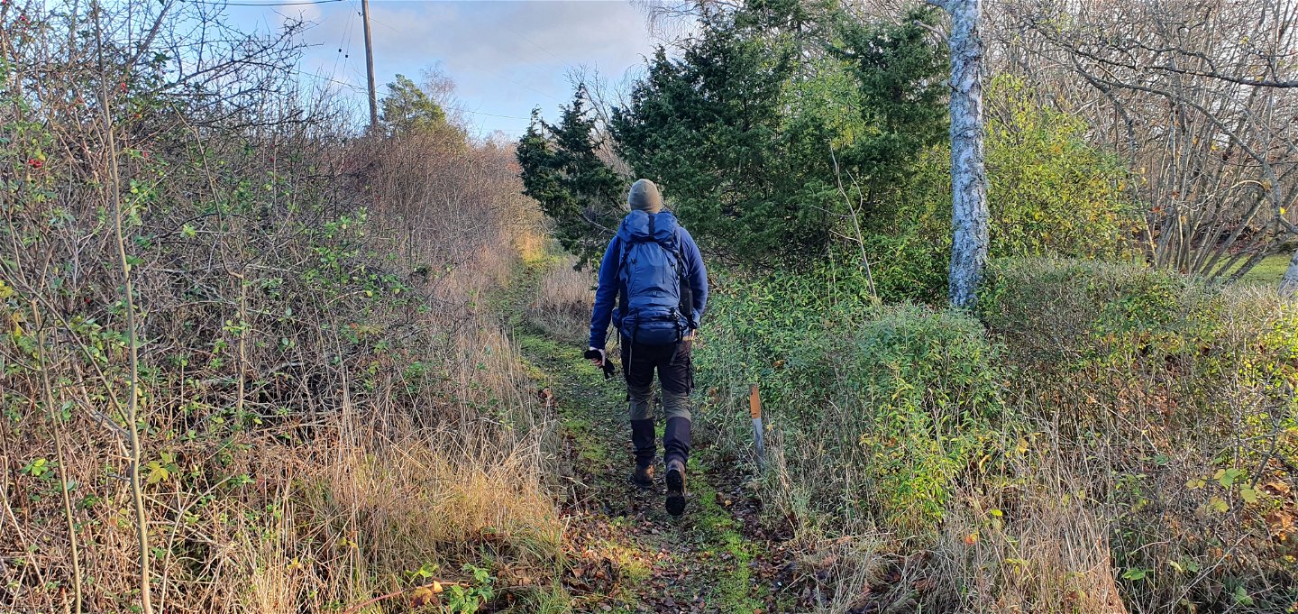
The trail goes through terrain where it is difficult to get around with a pram and wheelchair. If it rains or if it has rained the previous days, the trail may be wet and then boots are needed.
This route takes you between two of Öland's ancient forts through varied terrain. The trail is marked with orange-painted poles and follows both dirt roads and forest paths. You pass Gunnarstorp's rest area where there is a toilet, wind shelter and barbecue area.
Length of other sections of the Mittlandsleden:
Gråborg – Jordtorpsåsen parking lot: 4.3 km
Karum – Ismantorp fort: 7.1 km
Vanserums malm – Gråborg: 7.0 km
Ismantorp fort – Vanserums Malm: 9.2 km
Ismantorp fort – Runsten – Vanserum ore: 17.0 km
The trail is a collaboration between Mörbylånga and Borgholm municipality and the County Administrative Board.
Activities And Facilities
-
Hiking
Accessibility
-
 Near parking
-
 Near toilet
Contact
Address
0485-474 92
Email address
Matheus Tholin
Organization logotype
![]()
Questions & Answers
Ask a question to other Naturkartan users.
