


Örnkulleleden
Hiking
- County: Mörbylånga - Öland
- 6455.94 km away from you
Trail details
- Length 2.6 km
- Difficulty Blue - medium
Actions
Description
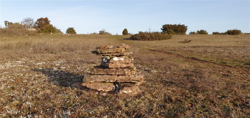
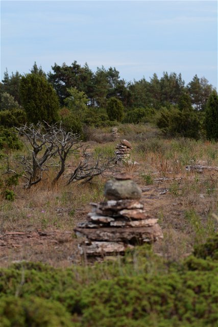
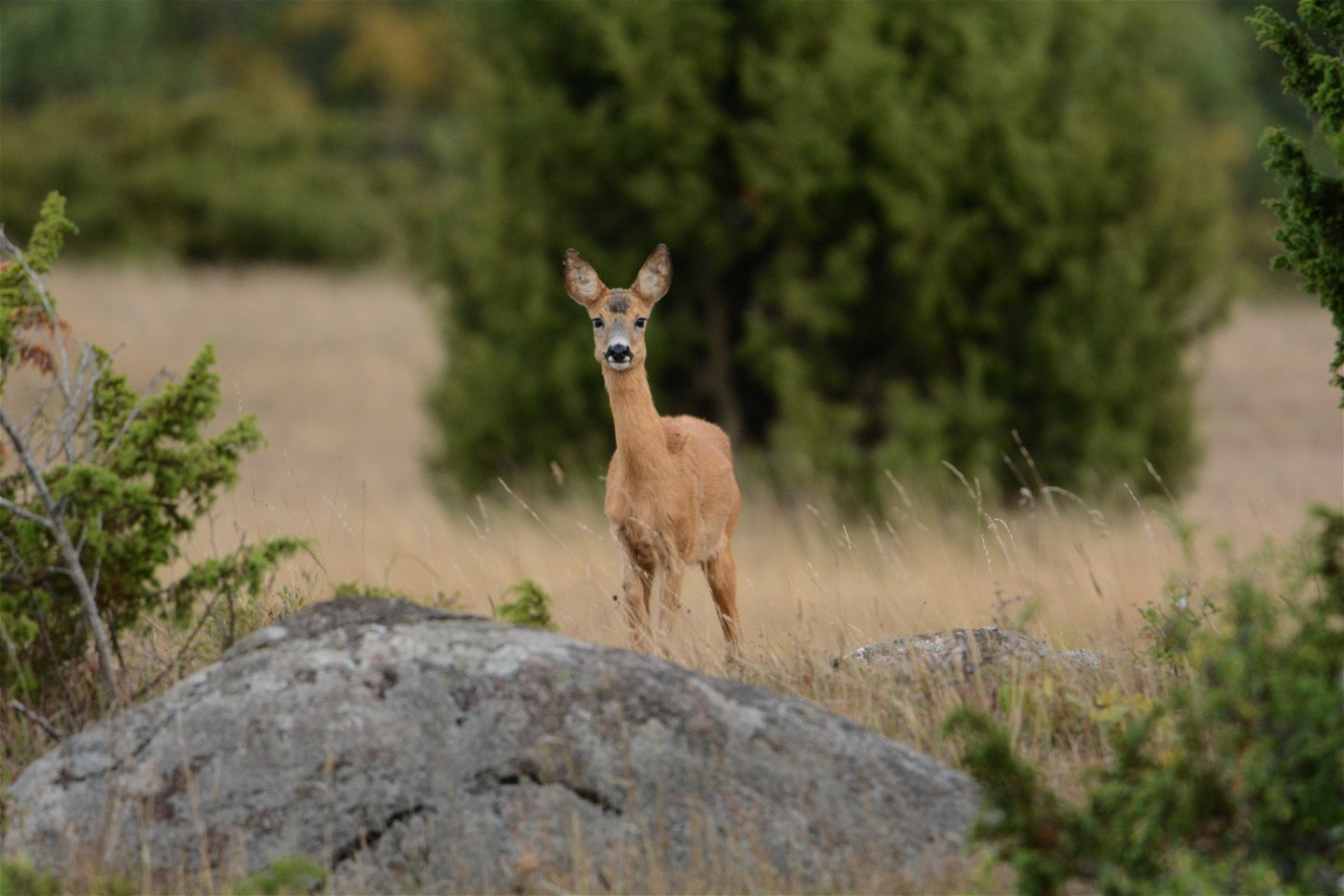
Örnkulleden is a 2.6 km long trail that connects Stora alvarleden with Gösslundaleden. The trail is marked with cairns, which show you the way.
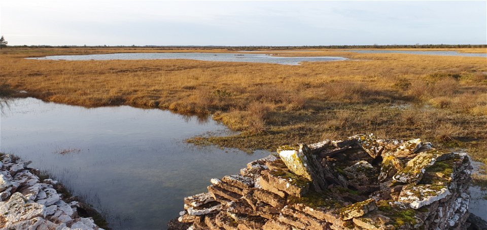
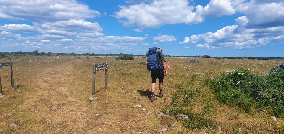
Örnkulleden can be reached from the car park along Resmovägen, just west of Ebbelunda. During the hike, you pass the Kritmossen with the remains of a 115-meter-long dam that had the task of damming water from the marsh. According to reports, there was a gristmill here (a type of water-powered mill for grinding grain), but no traces of this remain. The large stone foundations next to it are believed to be leftover stockpiles of limestone slabs, so-called "palmar" in swedish.
The trail goes over the stone bridge/dam and continues through a small forest grove and further through a demolished stone wall. After this you can see Örnkullen, approach it. From Örnkullen there is an expansive view of the landscape and the place invites you to rest for a while. Next to the trail, you can see several small, razed "stone houses" that were once used as shepherd's huts. There are also a number of smaller outcrop areas and an overgrown burial mound on the small ridge. After another few hundred meters you reach Gösslundaleden.
Activities And Facilities
-
Hiking
Accessibility
-
 Near parking
Facts
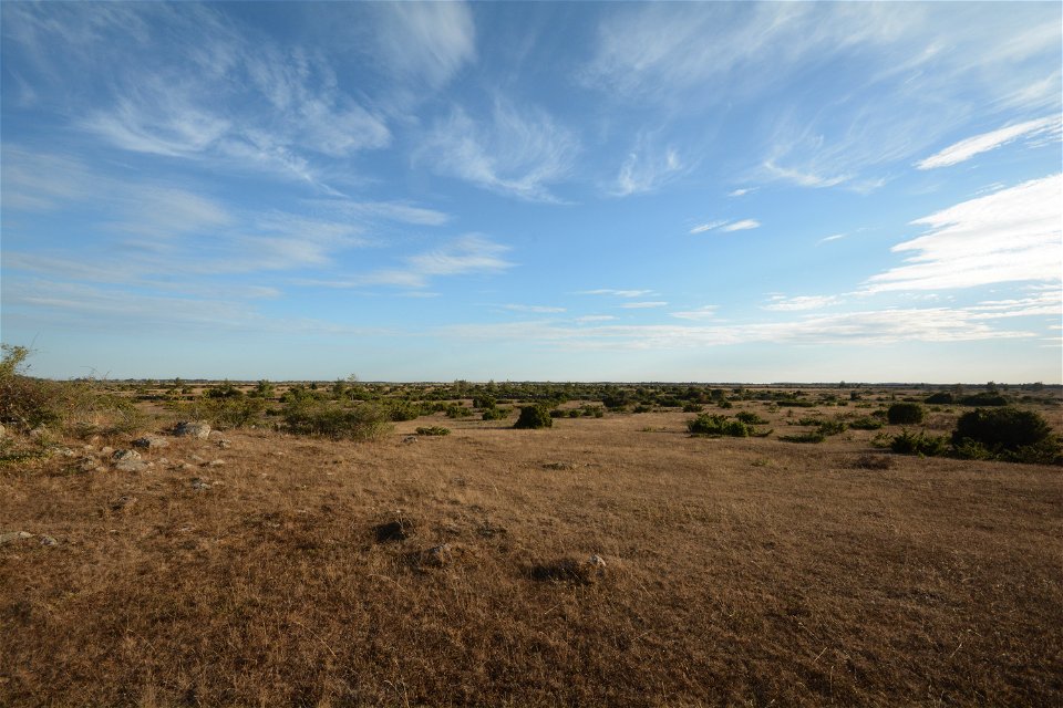
Did you know that the Great Alvar is the world's largest continuous area of alvar?
It is the farmers' grazing animals that, together with the thin soils and limestone bedrock, have created the conditions for the special plant and animal life found here.
Contact
Address
Email address
Matheus Tholin
Organization logotype
![]()
Please be aware that some of these texts have been automatically translated.
Questions & Answers
Ask a question to other Naturkartan users.
