-
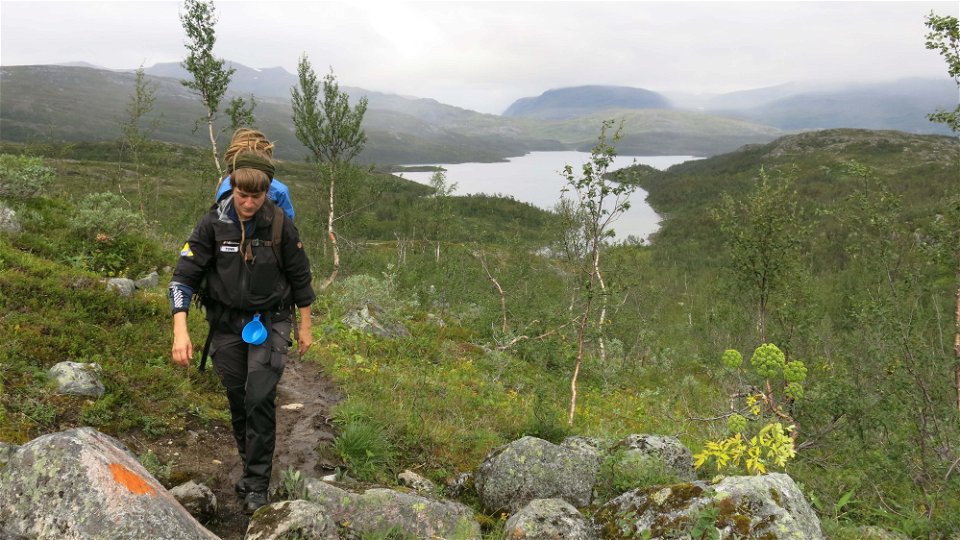
Photo: Sofia Mattsson -
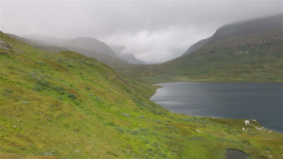
Photo: Sofia Mattsson -

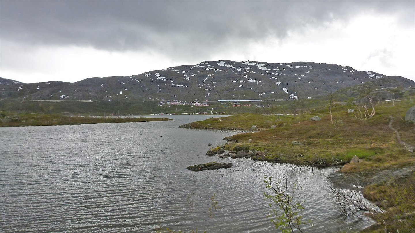
Photo: Marta Gorska


Riksgränsen-the Norwegian border
Hiking
- County: Länsstyrelsen Norrbottens län
- 6347.68 km away from you
Trail details
- Length 16.0 km
Actions
Description
Below the E10 there is a large car park, where the trail starts. The trail is sparsely marked with cairns and red paint. There are many trails in the Riksgränsen area. Be alert to the markings and trace your way on the map. There are not so many hikers heading all the way to the Norwegian border, and the trail can be difficult to follow after Lake Bajip Nuorajávri. It is essential on this tour to be able to use a map and compass to navigate in unmarked terrain.
From the start of the trail you hike northwards towards Lake Bajip Nuorajávri. After about 400 m, the trail divides, and you take the left trail. After another 900 metres the trail divides again. Again you choose the left trail towards Lake Bajip Nuorajávri. The trail continues in the valley between Rohččevarri mountain and Lake 537 m asl. At the western end of Lake Bajip Nuorajávri there is a difficult stretch of 1.5 kilometres with thick brush and small rocky crevasses which cut across the trail. West of Lake 447 m asl you wade across a small stream. At Lake Jápmajávri, the trail follows a height a little above the lake and then continues in the valley northwards towards the watershed and the Norwegian border. From the border it is about 1 kilometre down to the cabin Stordalsstua which is managed by the Norwegian Trekking Association (DNT) and is kept locked.
The last third of the tour from Lake 447 m asl to the Norwegian border passes across lime rich areas with rich vegetation and flora. There are also several cave systems.
Duration: 5-7 hours
Activities And Facilities
-
Hiking
Surface
Varied surface. Both easily-hiked trail sections and parts with terrain which is more difficult to negotiate due to osiers and rocky ground.
Communications
Riksgränsen lies about 130 km from Kiruna and 45 km from Narvik. It is served by both a road (the E10) and a railway. The train station is called Riksgränsen and from it, it is walking distance to the start of the trail at the car park north of the E10.
Länstrafiken Norrbotten (bus and coach operator) website Vy Tåg (train operator) website SJ (train operator) website Kiruna Lappland website
Contact
Email address
Länsstyrelsen Norrbotten
Organization logotype
![]()
Questions & Answers
Ask a question to other Naturkartan users.