
Hukejaure-Sitasjaure
Hiking
- County: Länsstyrelsen Norrbottens län
- 6360.87 km away from you
Trail details
- Length 20.0 km
Actions
Description
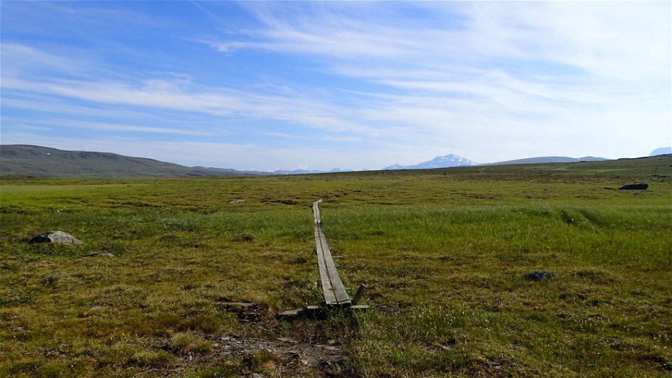
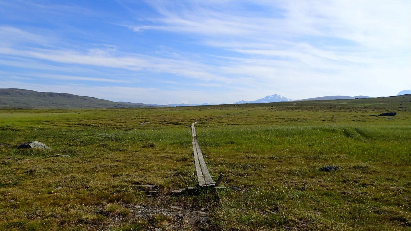
The trail follows the low fell Ráktas southwards. After a short slope down towards Lake Kaisejaure the hike continues via two bridges across the watercourses Ráktasjohka and Čuolakjohka. The trail then climbs towards the pass on Tjuolak mountain. After the pass, a hike across a slightly hilly highland plateau along the slope of Lihtti mountain. The hiking is very easy – the trail crosses brush moors and low-lying ground. In places the trail is on quad bike tracks. It slopes gently down to the suspension bridge that crosses Áinnajohka stream. Soon after the bridge, the trail passes a fence that marks the border between the Sámi communities of Girjas and Baste. The hiking continues to be easy after the bridge, crossing mountain pastures and marshes. Áinnavardu mountain is passed on its north side and then begins a steep descent towards Sitasjaure. The trail passes under a large powerline and then across a dam at the south-east end of Lake Sitasjaure. The Sitasjaure cabins are beside the lake, and here the trail ends.
There are plenty of tent pitches along the trail. One exception is the central part of Lihtti mountain slope, where it can be wet and the surface can be too uneven.
Duration: 6,5-8 hours
Activities And Facilities
-
Hiking
Surface
A slightly hilly highland plateau across easily-hiked brush moors and low-lying ground. A fair number of plankways.
Communications
From Ritsem to Sitasjaure there is a gravel road across which is blocked by a locked barrier at Ritsem. The hike is 22 km and takes 7–8 hours. Ritsem lies about 180 km from Gällivare. It can be reached by car – otherwise the easiest way to get there is by bus.
Länstrafiken Norrbotten website (bus and coach operator) Gällivare Turistcenter website
Contact
Email address
Länsstyrelsen Norrbotten
Organization logotype
![]()
Questions & Answers
Ask a question to other Naturkartan users.