-

Photo: Carl-Johan Utsi -
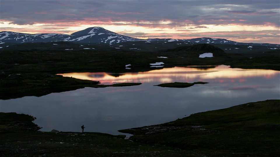
Duottar.
Photo: Tor Tuorda
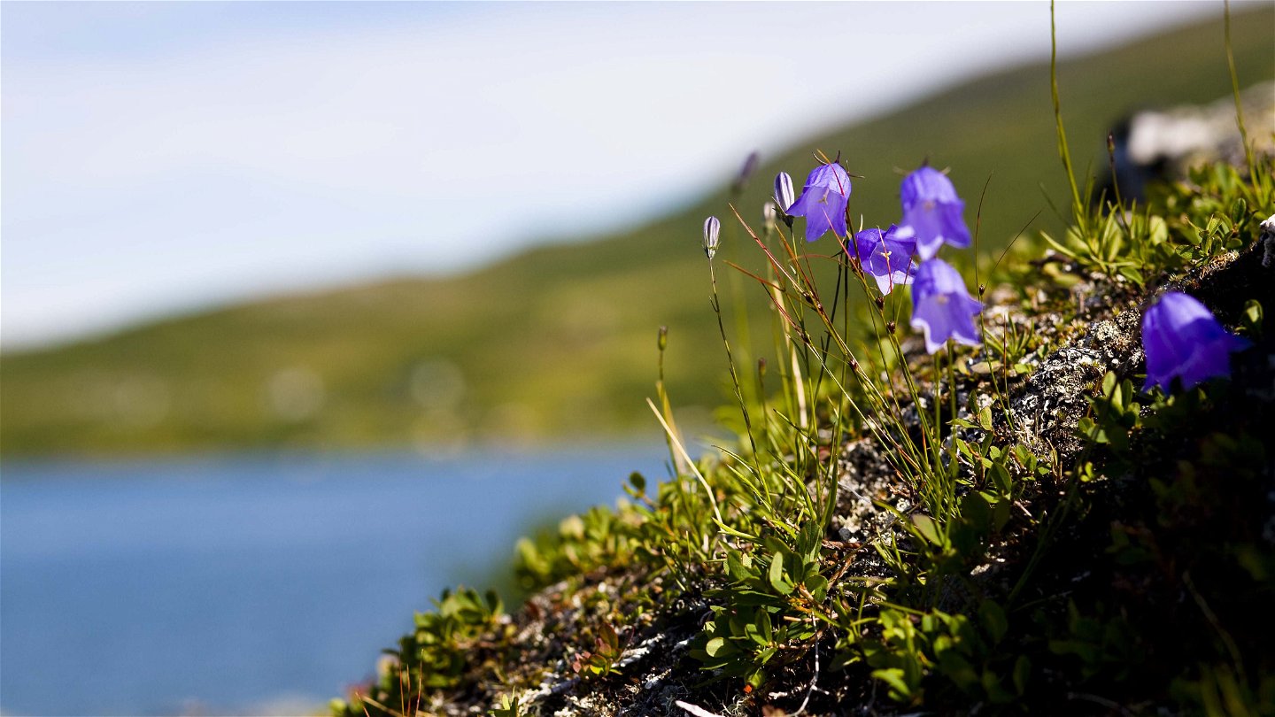


Stáloluokta-Duottar-Darreluoppal, the Padjelanta Trail
Hiking
- County: Länsstyrelsen Norrbottens län
- 6351.78 km away from you
Trail details
- Length 30.0 km
Actions
Description
Staloluokta-Duottar, 19 km
You walk over the suspension bridge across Gieddejåhkå stream, on over a marsh with a plankway and then into a mountain birch forest. The trail continues up a short, steep slope onto a hill. Before the hilltop, the Arctic Trail turns south, while the Padjelanta Trail continues south-eastwards. The trail follows Lake Giedavrre. Dense, tall osiers surround the trail, but do not hinder your hiking. The osiers end at Bållávrjåhkå stream, which is crossed via a suspension bridge. It is a good idea to fill up with water here, there can be a shortage over the next stretch. After the bridge begins a slow climb on easily hiked moorland. After a height with a good view of Lake Virihaure the terrain becomes hillier but is still easily-hiked. There are two wades, usually easy, before the cabins.
There are plenty of tent pitches, the best one at the bridge across Bållávrjåhkå.
Duration: 6–8 hours
Duottar-Darreluoppal, 11 km
The stage begins with some short uphill slopes before you reach a high plateau with many lakes and small tarns. The trail leads across easily-hiked, dry grassy moors, pastures and exposed bedrock. At Lake Gårråjávrátja there is a wade which is usually simple. After wading, the trail leads up towards the highest point on the Padjelanta Trail (960m asl). The trail then continues down to a pass with a view of the Tarradalen Valley. A 2 km downward slope remains to the cabins, which lie in Sarek National Park.
There are several good tent pitches along the trail.
Duration: 3–5 hours
The trail is maintained by Laponiatjuottjudus.
Activities And Facilities
-
Hiking
Surface
Staloluokta-Duottar: Most of the stretch is across easily-hiked moorland.
Duottar-Darreluoppal: Easily-hiked surface.
Contact
Email address
Länsstyrelsen Norrbotten
Organization logotype
![]()
Questions & Answers
Ask a question to other Naturkartan users.