-
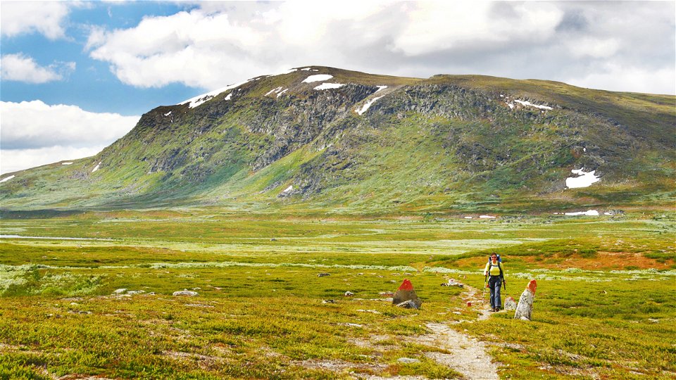
Photo: Håkan Hjort -
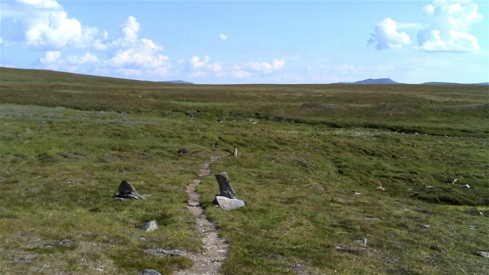
Photo: Ivar Palo/Länsstyrelsen


Adolfström-County boundary, The King's Trail
Hiking
- County: Länsstyrelsen Norrbottens län
- 6391.46 km away from you
Trail details
- Length 32.0 km
Actions
Description
Most of the hike is across low fells. It can be suitable to divide the stretch into two sections. At Bäverholmen you can stay indoors overnight, but the rest of the stretch requires access to a tent. Rävfalls Cabin in Västerbotten County is the closest stopover cabin after Bäverholmen.
The trail is an easy hike and starts by following Lake Yraft through the pine forest as far as Bäverholmen. It is also possible to travel by boat from Adolfström to Bäverholmen. That shortens the hike by 8 km. You can book boat transport with Niklas Söderberg +46 (0)70-674 42 17, +46 (0)961-230 18.
After the bridge and the stopover cabin at Bádasjuhka, a long drawn-out uphill trek begins through mountain birch forest up to the bare mountain. The trail is partially wet since it crosses slope mires. In places the trail is crossed by a quad bike trail and winter trail. The rest of the stretch as far as the county boundary is easy to hike and relatively flat. The trail leads through sections of mountain birch forest and across treeless low fell. There is a stopover cabin at Sjnulttjie.
A few kilometres before the stopover cabin at Sjnulttjie the trail enters Tjålmejaure Bird Sanctuary. There is a seasonal ban on entering the area from 9 May to 14 August. It is however permissible to hike staying on the King’s Trail under certain conditions. Dogs shall be leashed and it is not permitted to leave the trail except at marked stopover sites.
Over the last 2 km of the stretch, the trail gradually ascends to the county boundary on Björkfjället slope, over 900 m above sea level. The ground is dry and easy to hike, and the view is stunning. There are good tent pitches and plenty of water along the stretch.
Distances: Adolfström-Bäverholmen 8 km Adolfström-Sjnulttjie stopover cabin 23 km, 8–10 hours
Duration: In all, 12-14 hours, two sections recommended
Activities And Facilities
-
Hiking
Surface
Mostly easily hiked trail. An appreciable number of plankways along the stretch.
Communications
You get to Adolfström by car or bus. There are daily bus connections between Arjeplog and Adolfström. There is a car park at the harbour in Adolfström.
Länstrafiken Norrbotten website Boat transport: Niklas Söderberg, +46 (0)70-674 42 17, +46 (0)961-230 18
Contact
Email address
Länsstyrelsen Norrbotten
Organization logotype
![]()
Questions & Answers
Ask a question to other Naturkartan users.