-
Fotograf: Tobias Ivarsson -
Fotograf: Tobias Ivarsson -

Fotograf: Tobias Ivarsson -
Fotograf: Tobias Ivarsson -

Fotograf: Tobias Ivarsson -

Fotograf: Tobias Ivarsson -

Fotograf: Tobias Ivarsson -

Fotograf: Tobias Ivarsson -

Fotograf: Martin Unell -
Vid Biparadiset


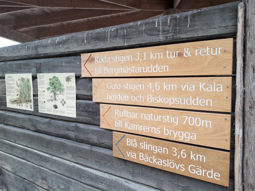
Bokhultet's red loop
Hiking
- County: Kronobergs län
- 6809.62 km away from you
Trail details
- Length 3.1 km
- Difficulty Blue - medium
Actions
Description
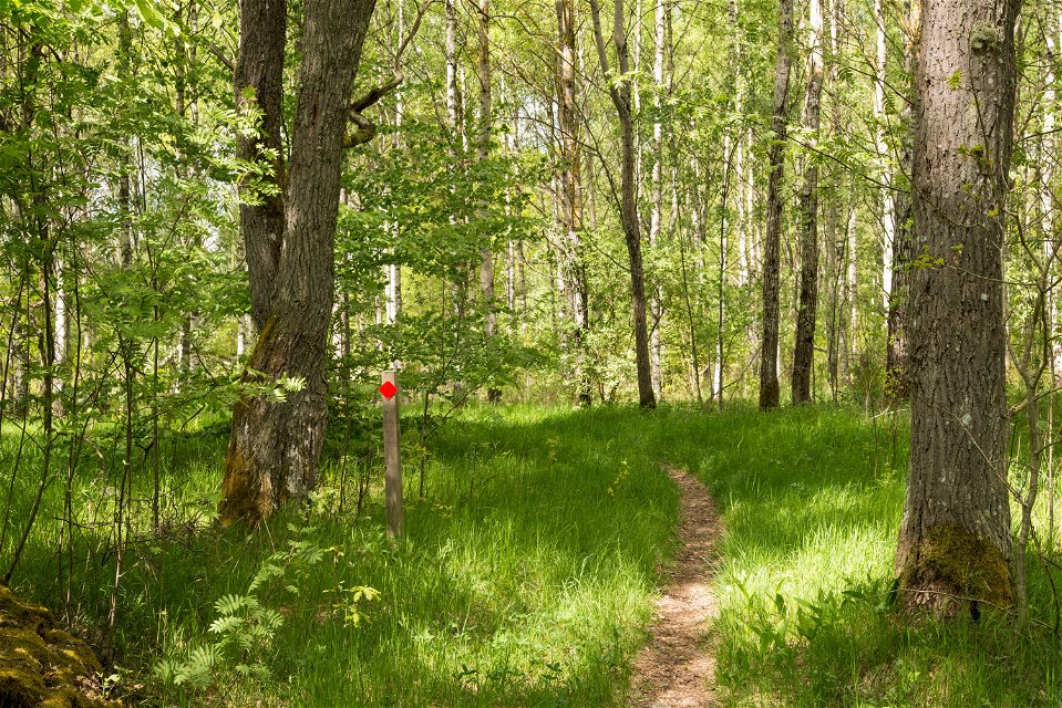
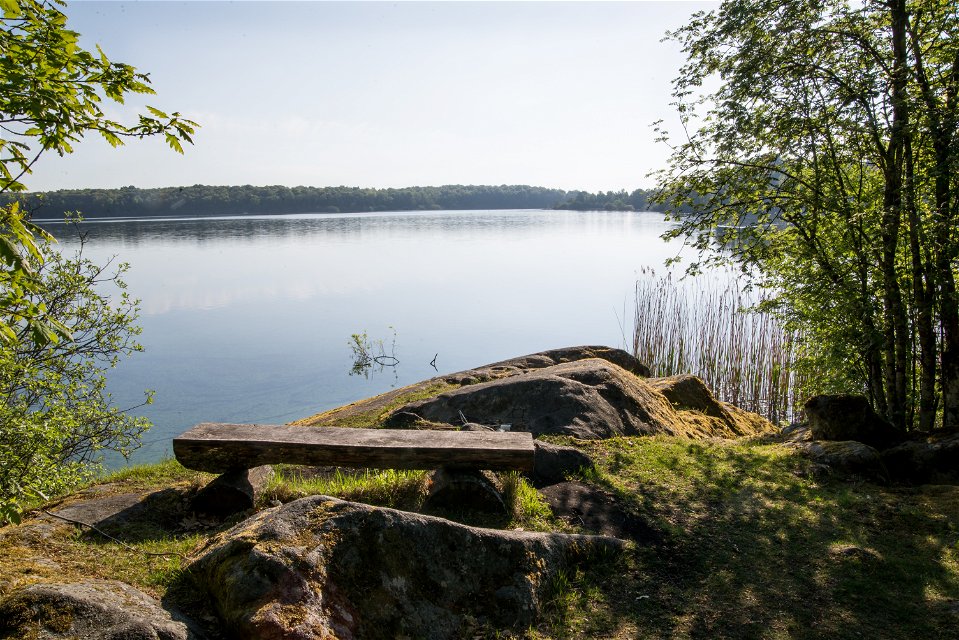
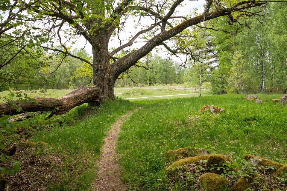
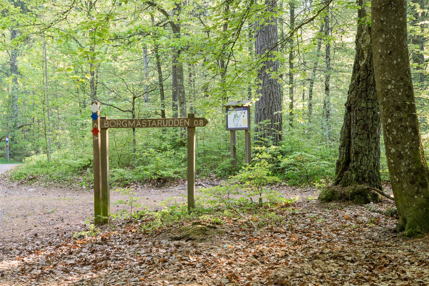
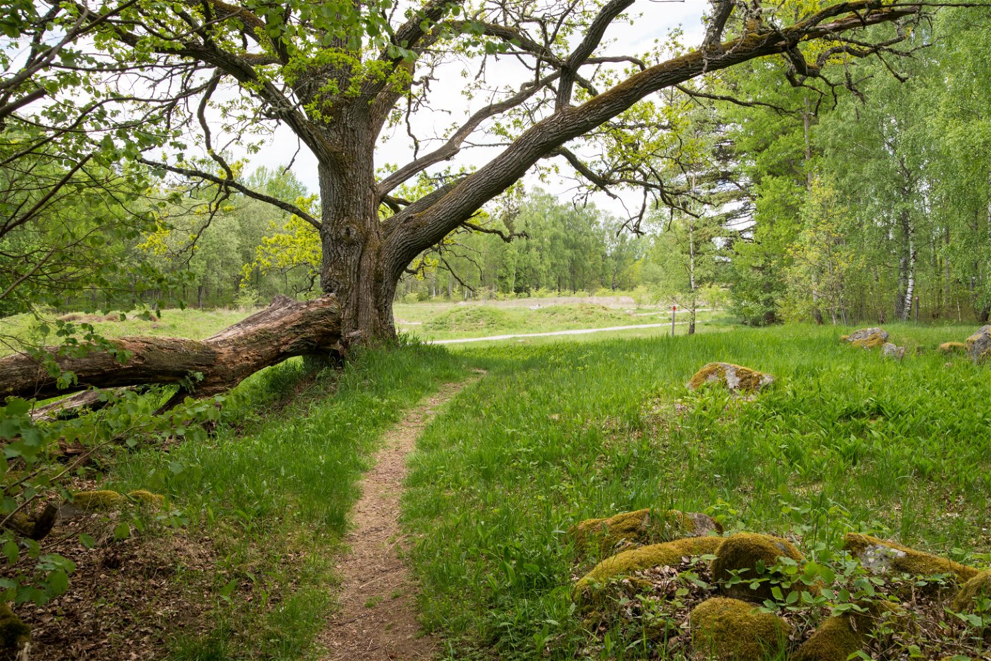
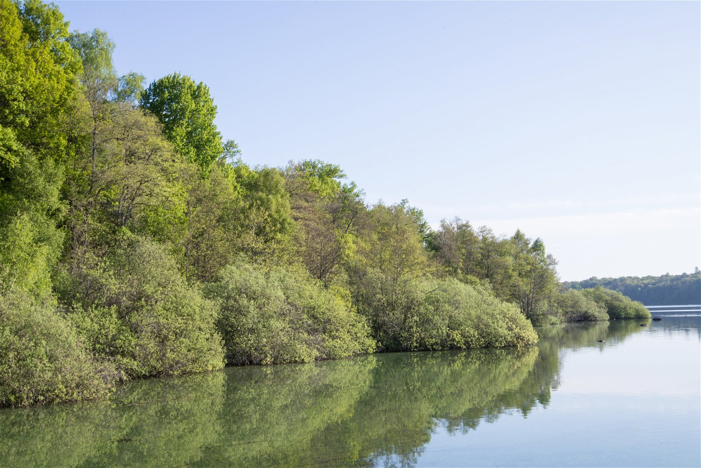
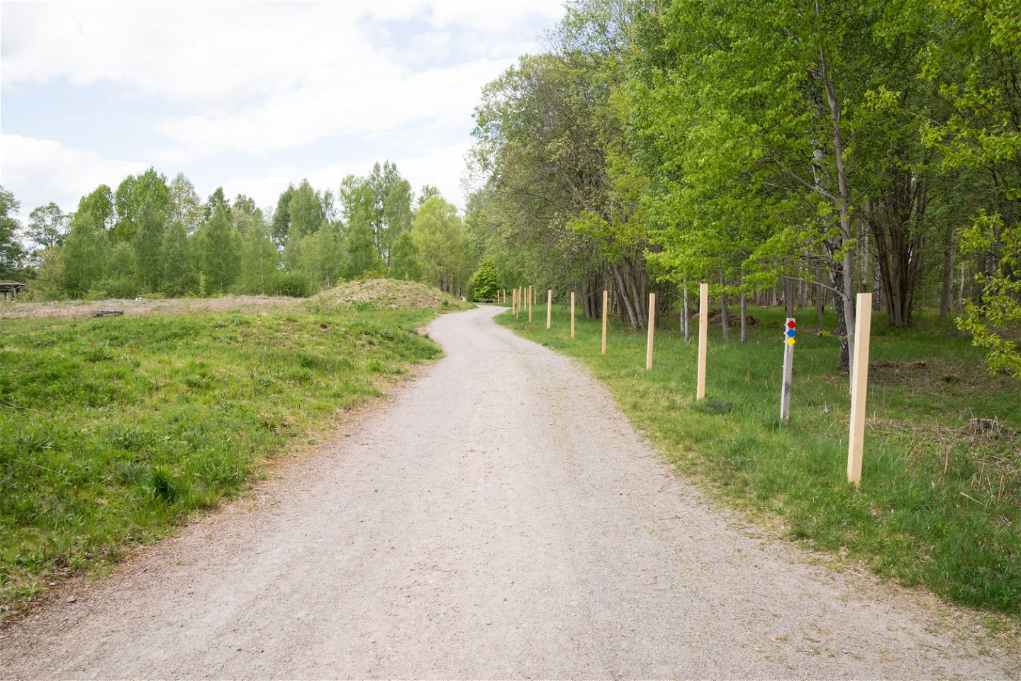
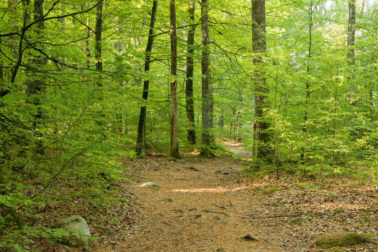
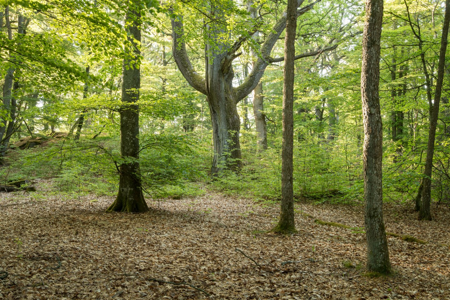
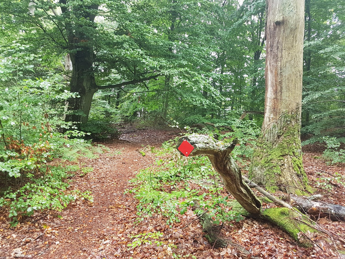
Hike or trail-run on this trail through this beautiful leafy forest out to Borgmästarudden cape. There are many trails and roads in the Bokhultet nature reserve that make for great recreation. The red route goes to the eastern part of the reserve on narrow trails, whilst the western part is easier to walk. This is a 3.1 kilometre long loop amidst the tranquillity of Bokhultet.
Activities And Facilities
-
Hiking
-
 Trail running
Accessibility
-
 Near parking
Surface
Grusväg samt mindre naturstig som blöta årstider kan kräva rejäla vandringsskor.
Directions
Bokhultets röda slinga är belägen i Bokhultets naturreservat. Bokhultet ligger knappt två kilometer sydväst om Växjö centrum.
Contact
Address
Telefon 0470-410 00
Email address
Kontaktcenter
Organization logotype
![]()
Questions & Answers
Ask a question to other Naturkartan users.
