
-
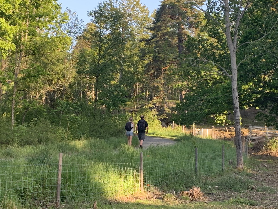
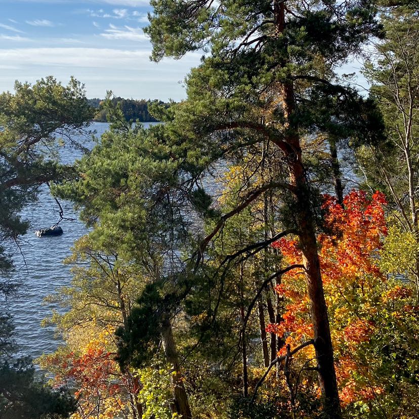
Kärsöleden, Lovö naturreservat.
Photo: Länsstyrelsen Stockholm -
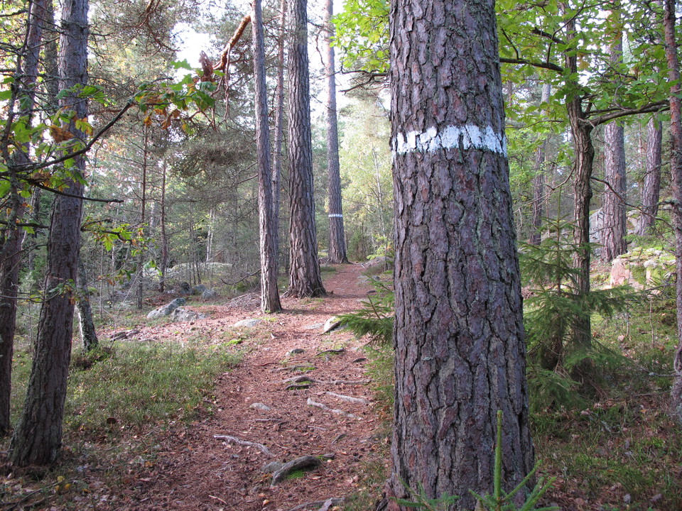
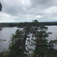
Stig bland tallar, Kärsöleden.
Photo: Stefan Henriksson -
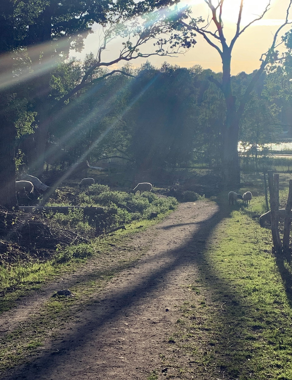
Fåren hjälper till att hålla Kärsöns landskap öppet.
Photo: Länsstyrelsen Stockholm -
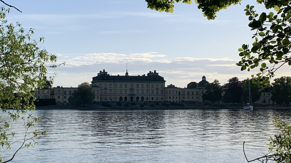
Utsikt mot Drottningholms slott från Kärsöleden.
Photo: Länsstyrelsen Stockholm -
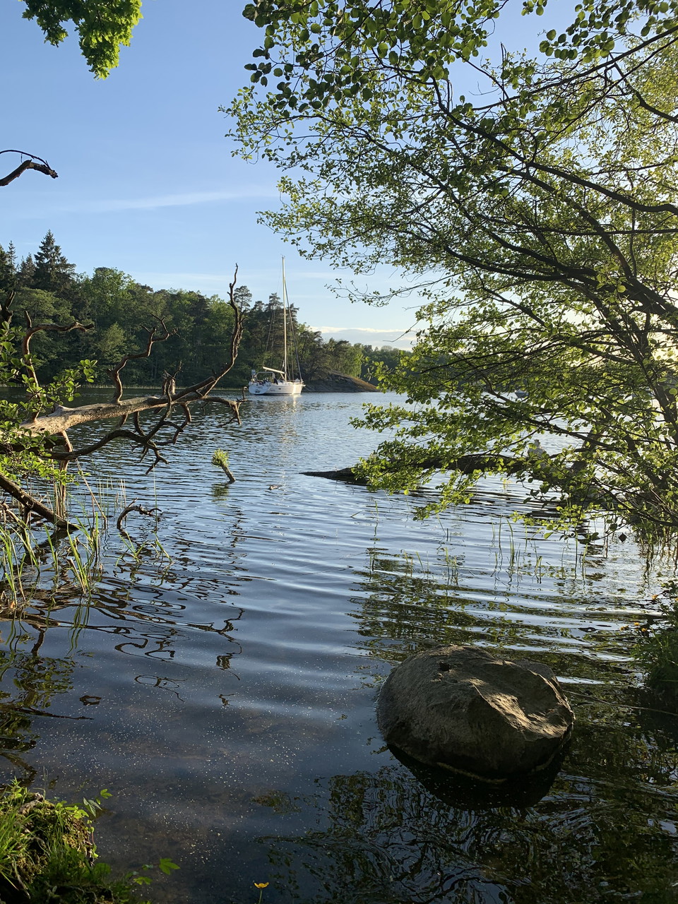
Kärsöleden, Lovö naturreservat.
Photo: Länsstyrelsen Stockholm -
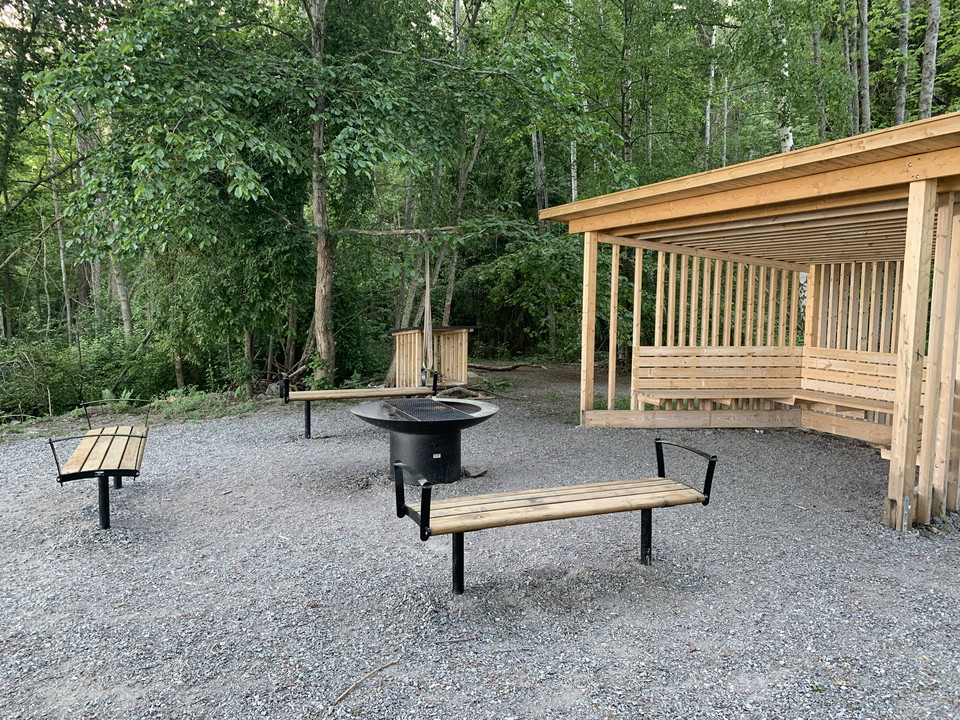
Rastplats med bänkar och eldstad.
Photo: Länsstyrelsen Stockholm -
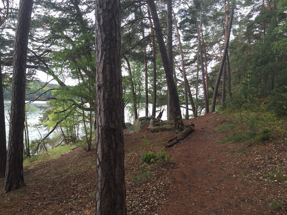
Stigen slingrar sig fram runt Kärsön.
Photo: Länsstyrelsen Stockholm -
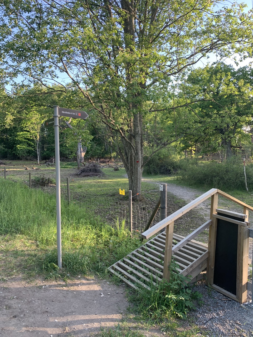
Kärsöleden, Lovö naturreservat.
Photo: Länsstyrelsen Stockholm
Lovö Kärsö - The Kärsöleden trail
- Hiking
- Walking
- Near Public Transport
- Guide: Nature reserves and National Parks in Stockholm County
- 6829.15 km away from you
Trail details
- Length 5.8 km
Actions
Description
Activities And Facilities
- Walking
- Hiking
Accessibility
- Near Public Transport
Directions
You can get to the trail from the parking lots at Brostugan and Kärsögården. The closest bus stop is Brostugan, which is located by the Nockebybron bridge. For current timetables, see www.sl.se.
Please note that there is no pedestrian crossing over Drottningholmsvägen road. Instead, follow the pedestrian and cycling path under the road, at the base of Nockebybron bridge.
Regulations
In order to protect the Lovö nature reserve, please respect the following rules.
Within the reserve, it is forbidden to:
- dig, cut, drill or in any other way damage bedrock, soil or stone,
- fell or damage living or dead trees or bushes,
- damage vegetation by digging up plants,
- bring unleashed dogs,
- ride horses on designated hiking trails,
- camp for more than two consecutive nights in a tent, motorhome, caravan or similar,
- moor a boat for more than two consecutive nights at the same beach (this rule does not apply to piers and marinas),
- put up permanent posters, signs or similar.
Contact
Email address
Länsstyrelsen i Stockholm
Organization logotype

I’ve been here 136

























I want to go here 147













Questions & Answers
Ask a question to other Naturkartan users.
Reviews
Users images
No user images yet. Be the first to share!

Lätt att ta sig dit kommunalt. Buss från Brommaplan.
Själva leden börjar och slutar i närheten av Brostugan. Tydlig märkning var leden börjar. Överlag okej märkning men där det brister var det inga problem att förstå hur man skulle gå ändå.
Landskapet är varierat, på sina håll ängslandskap med stora lövträd, andra delar längs tydliga stigar längs vattnet och längs områden som måste ha varit fuktigare för inte så länge sedan, men även över områden som leder över berghällar.
Det finns en passage som är brant där det sitter rep uppsatta. Jag skulle personligen inte lita på dessa då det såg minst sagt amatörmässigt ut. Dessa behöver bytas ut, samt att den som sätter repen böra veta vad som måste göras. Det går att ta sig både upp- och nedför branten utan rep, om du känner dig osäker så finns tydlig alternativ väg markerad.
Leden är ganska lätt att gå, men fungerar inte med barnvagn o dyl, eller om du har problem med att gå och ta dig fram.
Det inte en heldagsvandring. Tror att de flesta barn med lite go i från ca 5 - 6 ålder tar sig runt utan större problem.
Det finns gott om rastplatser och ställen att grilla på med ved upplagt på samtliga ställen när vi var där.
En trevlig led som kanske passar de bäst som har barn, har en haldag över, eller inte är så vana vandrare och för de som letar efter något som inte är för långt.
Valde mellan tre och fyra stjärnor :)