-

Ledmarkering till Norbergsleden -

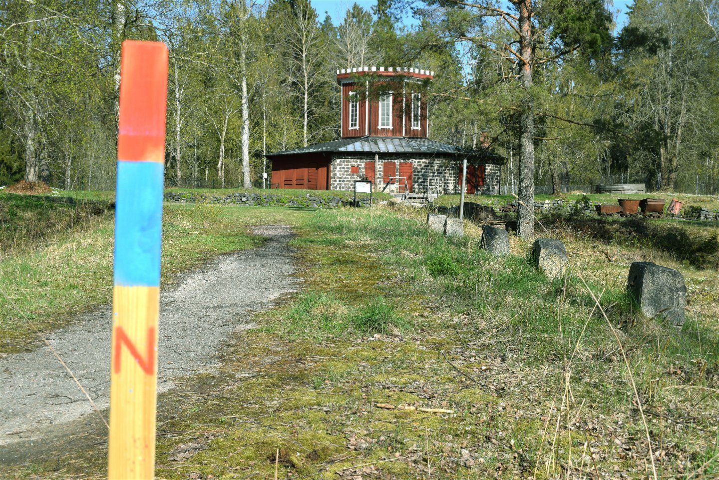
Vändhjul till stånggångar -
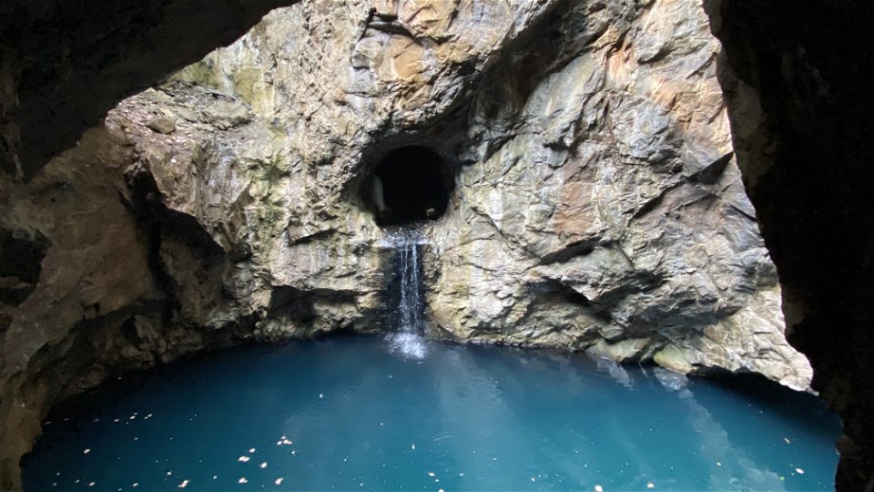
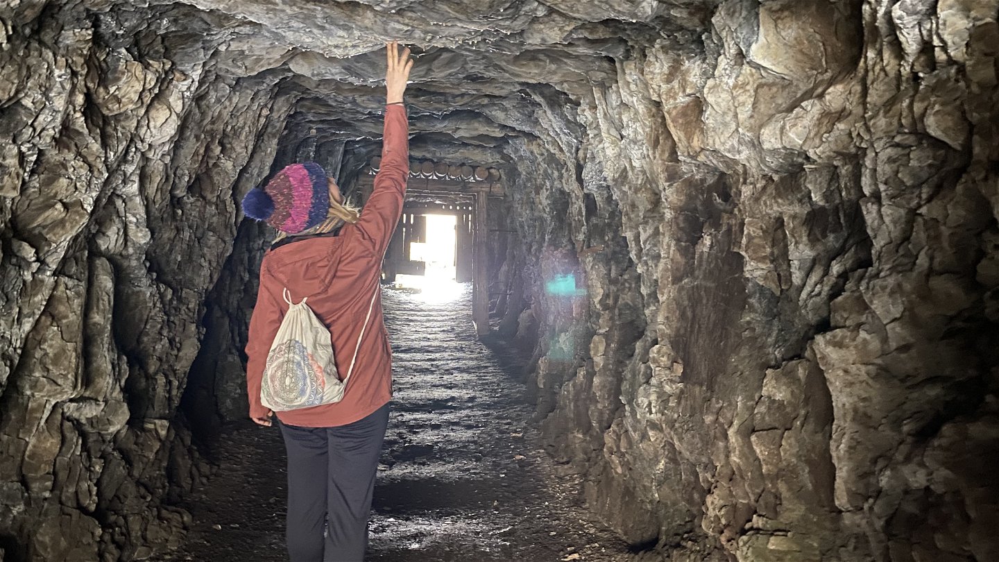
Blå grottan vid Klackberg -
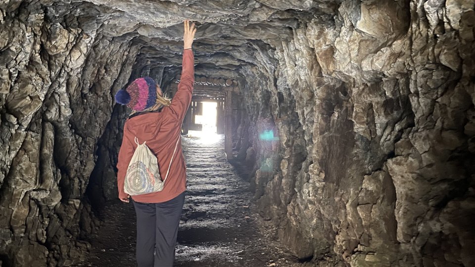
Gruvort vid Klackberg -
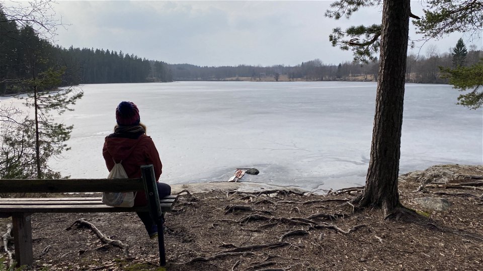
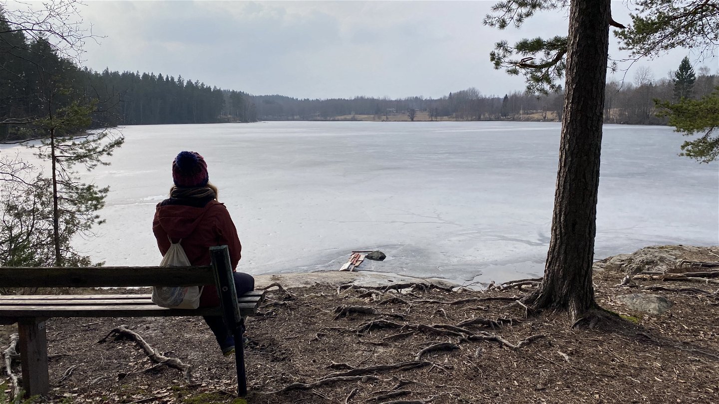
Vacker vy över sjön Kalven -
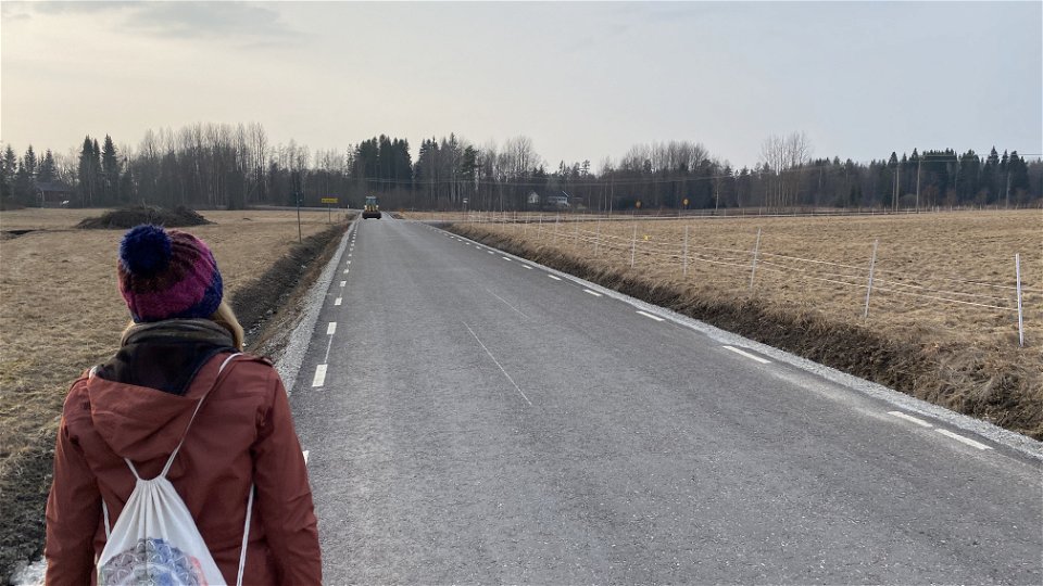
Landsväg i Norbergs utkanter -
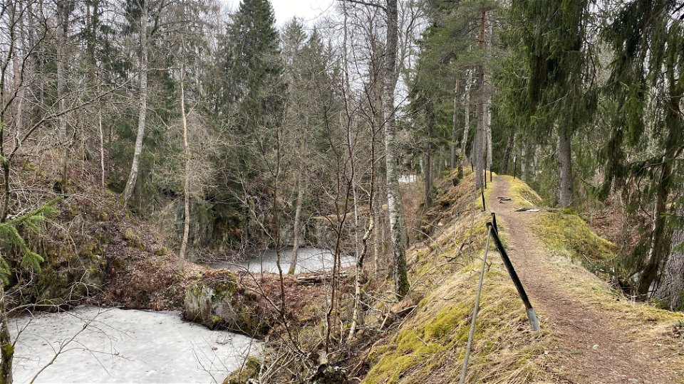
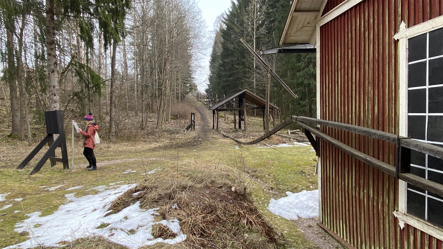
Landsbyggd längs Norbersleden -

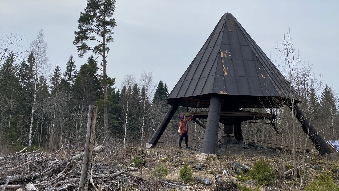
Polhemshjulet -
Kärrgruvorna -
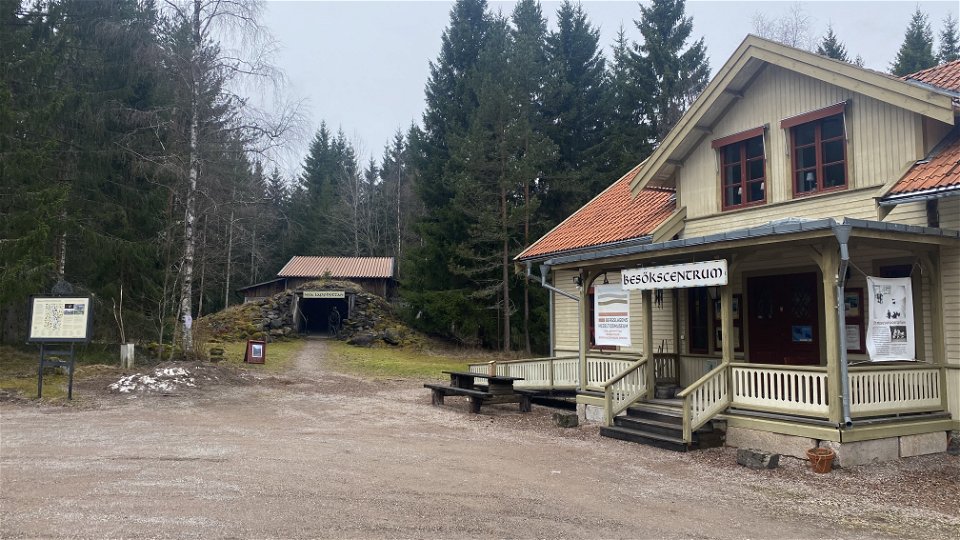
Norbergs besökscentrum


Norberg — The Norbergsleden trail
Hiking
- County: Trails of Västmanland
- 6689.06 km away from you
Trail details
- Length 20.0 km
- Time 6 h
Actions
Description
Experience Norberg and its fascinating history on foot
The area around Norberg is packed with beautiful nature, fabulous countryside scenes, and intriguing traces from the centuries-long iron industry. The Norbergsleden trail offers inspiring and varied experiences of nature, culture, and history. On foot, you get to encounter all of Norberg's highlights, such as the Blå Grottan (Blue Cave) at the Klackberg's mining field and nature reserve, the Polhemshjulet water wheel, the Svinryggens mines, the old Veteranjärnvägen railway, Mossgruveparken park, the Nya Lapphyttan blast furnace, and Norberg's beautiful town centre. The entire Norbergsleden trail is just over 20 km but can be hiked in smaller stages. Considering everything there is to see and do in Norberg, the Norbergsleden trail is best experienced as a multi-day trip.
The Norbergsleden trail is marked with red and blue trail markers, and there are signposts with information about various sights along the entire route. The red markers refer to the entire Norbergsleden trail (20 km), while the blue markers are for the shorter northern loop (10 km). The downloadable trail map clearly shows the difference between the two routes. The terrain along the Norbergsleden trail is mostly flat, with the exception of a few hilly sections, mainly at Klackberg, Svinryggen, and Mossgruvan. The surface varies from asphalt to gravel walking paths and natural forest paths. The hiking time for the entire Norbergleden trail is about 5-6 hours, not including stopping to take in the sights or enjoy cosy cafés. If you’re comfortable with biking on the occasional trail path, a bicycle can be a good companion for this trek.
The Norbergsleden trail starts at Norberg's Visitor Centre, where you will also find parking, a museum, a shop, and tourist information. Next to the Visitor Centre is the popular Nya Lapphyttan, a reconstructed mediaeval blast furnace where you can learn more about the area’s historic iron industry that stretches back centuries.
If you walk the trail clockwise, the next destination is Klackberg's mining field and nature reserve. At Klackberg, you can walk around for a long time and let yourself be fascinated by both the beautiful nature and the breathtakingly deep mining holes. The Blå Grottan (Blue Cave) is a clear highlight of any visit to Klackberg. The trail then leads a pleasant walk through the forest and countryside, along old canals, and eventually to the impressive Polhemshjulet water wheel. Constructed in the 1770s, the Polhemshjulet water wheel powered the flatrod systems and pumping stations in the nearby mines. Shortly along the trail afterwards, you’ll reach Svinryggen's mines, which offer cool views of large mining pits. After Svinryggen, the trail then passes Veteranjärnvägen road, the Linnégården estate, and Kärrgruveparken park. It’s best to take some time to fully explore Mossgruveparken park and its Gruvmuseum (Mine Museum). If you follow the red markers and walk the entire Norbergsleden trail, it continues towards the centre of Norberg via the mighty Mimerlaven plant, which is the last link to the town's millennial chain of iron production and was in operation until 1981. From Norberg's town centre, it is not that far of a trek back to the Visitor Centre.
The Norbergsleden trail is packed with sights. The entire trail can be hiked in one day, but it is strongly recommended that visitors experience Norberg and its surrounding area as a multi-day trip. Norberg is a beautiful small lakeside town that’s home to lots of nice cafes and eateries, as well as charming accommodations to spend the night. For more information on how to plan your stay in Norberg, visit the website visitorberg.se or download the Visit Norberg app.
Activities And Facilities
-
 Biking
-
Hiking
-
 Trail running
-
 Circular trail
-
 Culture trail
Accessibility
-
 Near Public Transport
Facts
Offentliga toaletter vid Besökscentrum Nya Lapphyttan, Storkiosken i Kärrgruvan och Tips & Tobak i centrum under öppettider.
Surface
Underlaget varierar från asfalt, till grusade promenadstråk och naturliga skogsstigar. Terrängen är mestadels flack med undantag av några kuperade partier främst vid Klackberg, Svinryggen och Mossgruvan.
Parking
Avgiftsfri parkering finns vid Besökscentrum Nya Lapphyttan (vid ledens start), vid Frida Hansdotter Arena i centrum eller vid Klackbergs gruvfält och naturreservat.
Communications
Directions
From the bus station in the town centre, it is about a 15-minute walk or 4 minutes by car (just over 1 km) to the Besökscentrum (the Visitor Centre) in Norberg, which is the starting point of the trail. Follow Malmgatan road over the Norbersgån river, then turn left and follow Västanforsvägen road (signs towards Nya Lapphyttan) for approx. 900 m. Turn right at the sign for Nya Lapphyttan and drive the gravel road approx. 200 m. Parking is available at both the Visitor Centre and Nya Lapphyttan.
Contact
Email address
Organization logotype
![]()
Questions & Answers
Ask a question to other Naturkartan users.
