Naturkartan-appen kan behöva uppdateras för vissa användare

Användare av Naturkartans app för Android rapporterar i sommar att appen är seg mm. Vi rekommenderar att man raderar appen helt från sin telefon i så fall och laddar ned igen! Då skall den fungera bättre. Den befintliga appen skall ersättas av en ny app efter sommaren. Den gamla appen laddar all data för hela landet lokalt i appen (för att klara offline-läge) men det innebär att den blir för stor för vissa telefoner - då behöver den raderas och laddas ned igen!

Långbroleden

  • Hiking
of 5 stars

Trail details

  • Length 3.9 km

Actions

Description

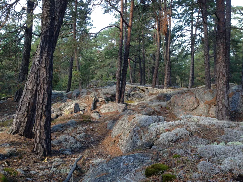
You can easily get into the reserve by following the Långbro trail from Fornboda, which runs through fields and pastures, and continues down to Lake Snuggan in Södra Törnskogen Nature Reserve.

The Långbroleden, a very old road whose potholes and banks suggest that it has existed for more than 1000 years, runs through the forest. There is also one of the post roads established by Queen Kristina in the 17th century.

In the vicinity of Långbroleden there are stone circles and cairns from the Bronze Age, as well as house foundations and farmland that belonged to the crofts that previously existed in the area.

Weather forecast (at 12:00)

Loading...

Get here by public transport

Activities And Facilities

  • Hiking

Contact

Address

Ring: 08- 590 970 00
Felanmälan natur: ekontoret.upplandsvasby.se

Email address

Henrik de Joussineau

Please be aware that some of these texts have been automatically translated.

I’ve been here 1
I want to go here 7

Questions & Answers

Ask a question to other Naturkartan users.

Reviews

0 reviews

of 5 stars

5 :
0.0%
4 :
0.0%
3 :
0.0%
2 :
0.0%
1 :
0.0%

Users images

No user images yet. Be the first to share!

Naturkartan

Open this in the app