
-
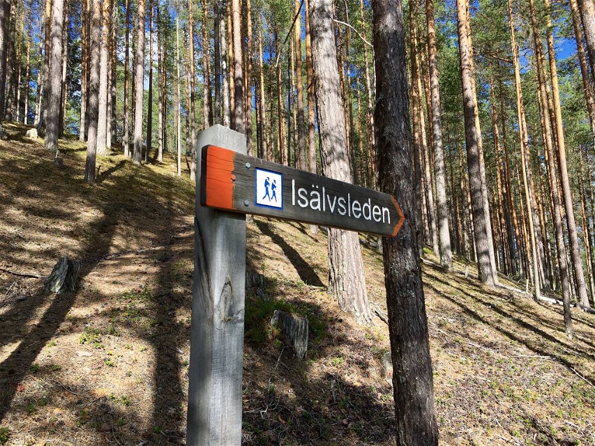
Isälvsleden.
Photo: Visit Umeå -

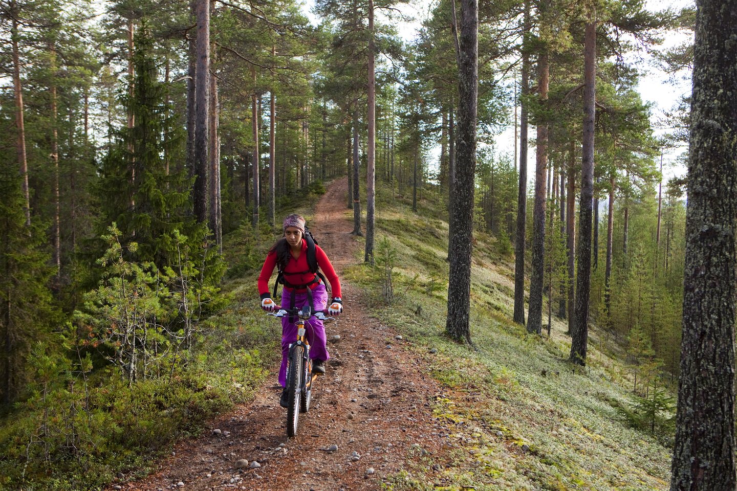
Cycling along the pebble ridge.
Photo: Visit Umeå -

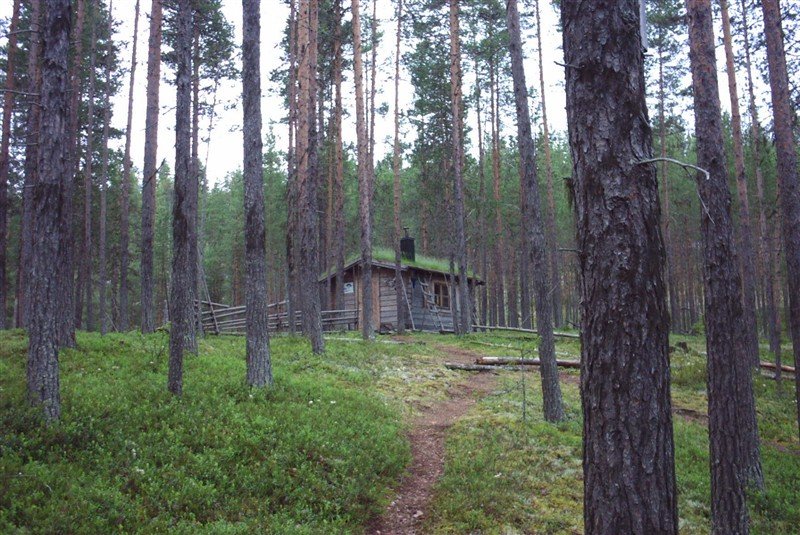
Isälvsleden offers varied nature.
Photo: Visit Umeå -
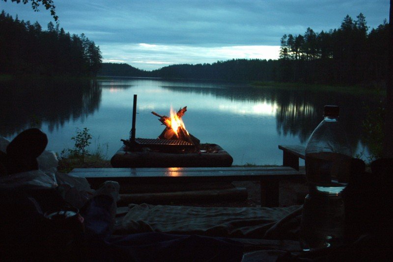
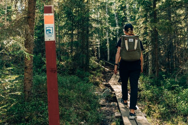
Make a warming fire at one of the barbecue huts along the trail
Photo: Visit Umeå

Isälvsleden
Hiking
- County: Västerbottens län
- 7319.12 km away from you
Trail details
- Length 60.0 km
Actions
Description
Isälvsleden
stretches for 55 km between Vindeln and Åmsele, suited for hiking and mountain
biking. The trail takes you through a landscape shaped by ancient glaciers;
majestic eskers, rolling dunes, ancient coniferous forests with several
centennial pines, and lakes with inviting sandy shores. Isälvsleden is varied
and follows old paths, trails, and small roads through beautiful and easy
terrain. There are great fishing opportunities along the way (fishing license
required). Several rest areas and shelters are found along the trail, as is an
overnight cabin with four beds which are available on a first-come,
first-served basis. Along the route you will find sights like active mud
volcanoes at Lerfallet, the enchanting old pine forest in the Valfrid Paulsson
Reserve, and one of Västerbotten’s largest sand dunes at Juvikskammen. At
Djupsund await boats for an exciting water crossing where you must row across
to continue your journey. The trail is suited for both hiking and mountain biking during the
snow-free season, and it can be experienced either in full or as shorter
sections. Experience a piece of Västerbotten’s natural history!
Management and
maintenance of Isälvsleden is handled by Friluftsfrämjandet in Vindeln.
Activities And Facilities
-
Hiking
Contact
Email address
Kontakta Visit Umeå
Organization logotype
![]()
Questions & Answers
Ask a question to other Naturkartan users.
Reviews
You might also be interested in