Värend canoe route
Paddling
- County: Växjö
- 6412.35 km away from you
Trail details
- Length 120.0 km
- Difficulty Blue - medium
Actions
Description
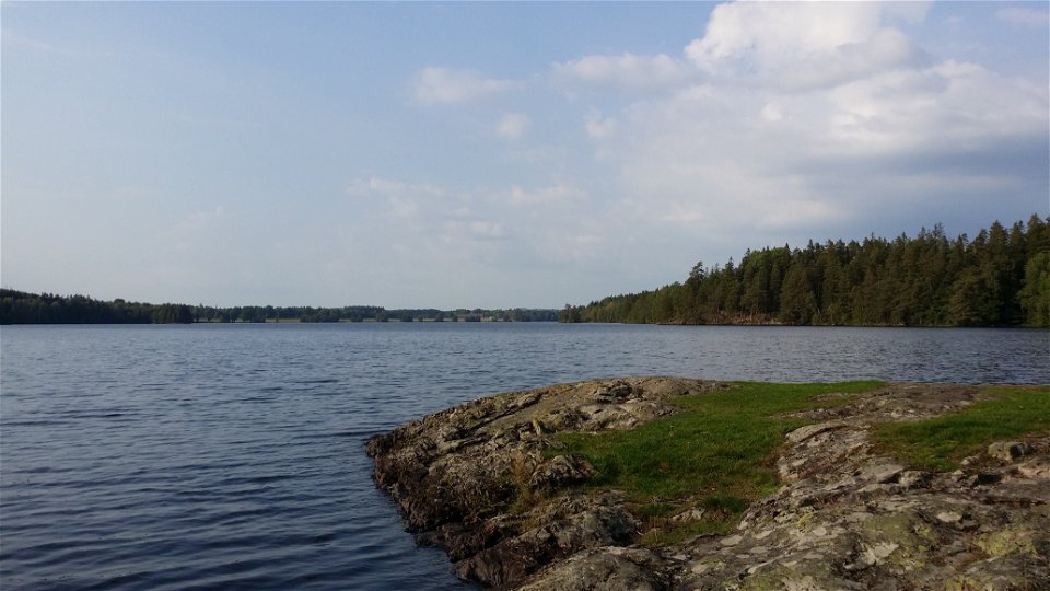
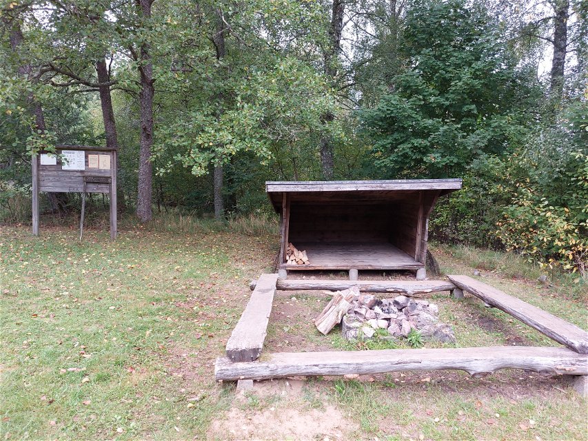
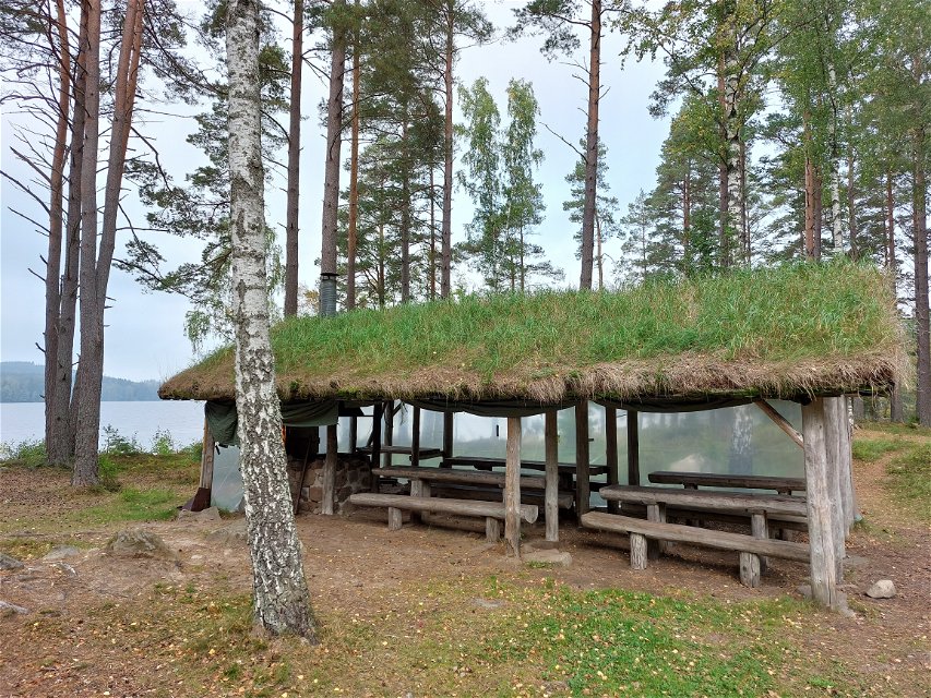
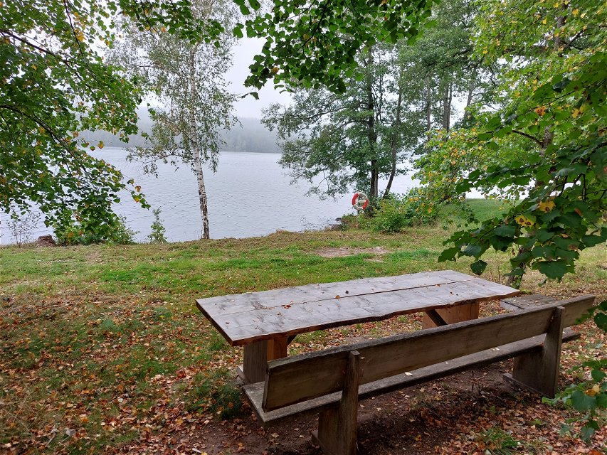
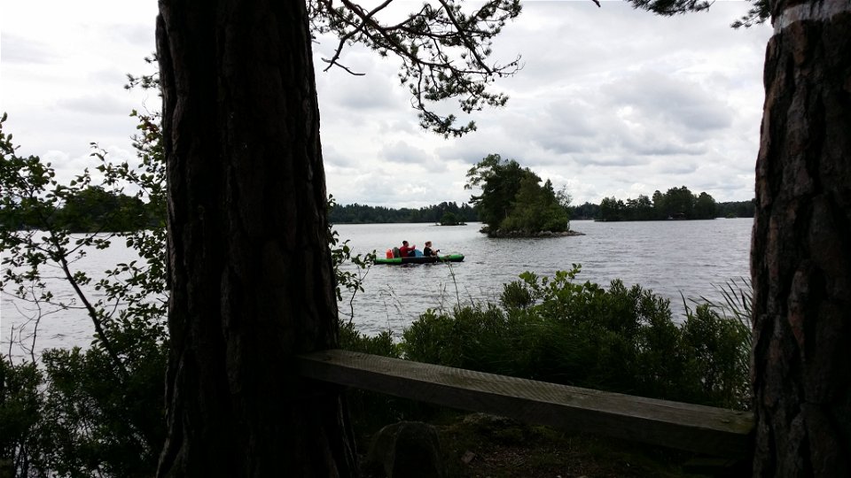
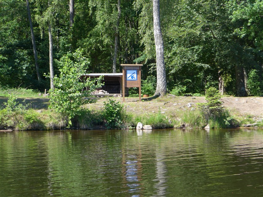
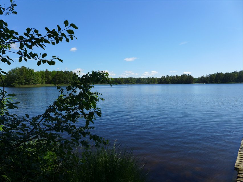
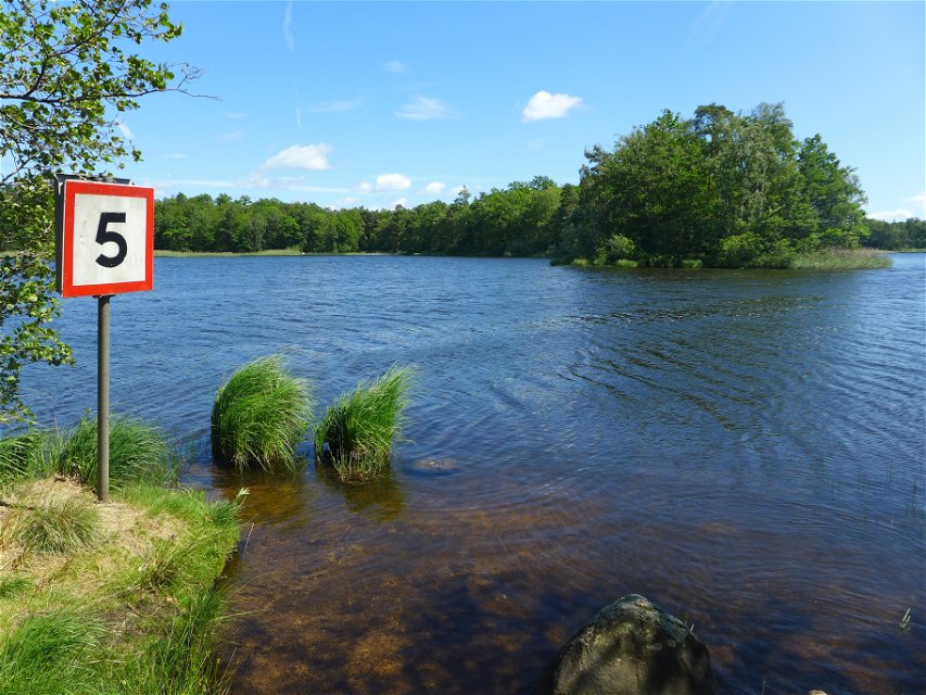
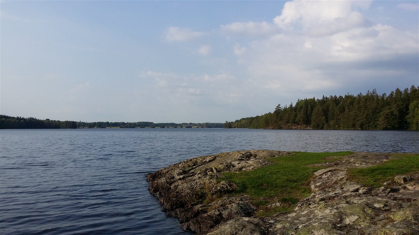
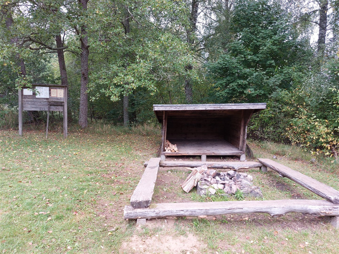
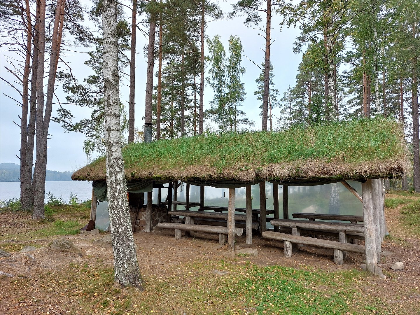
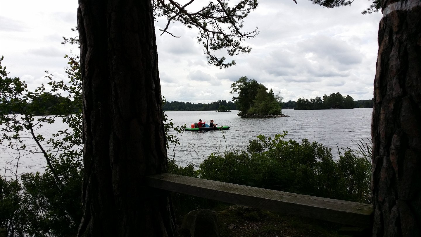
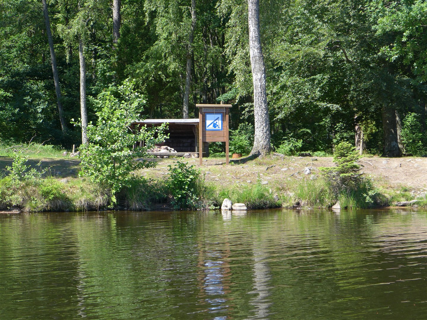
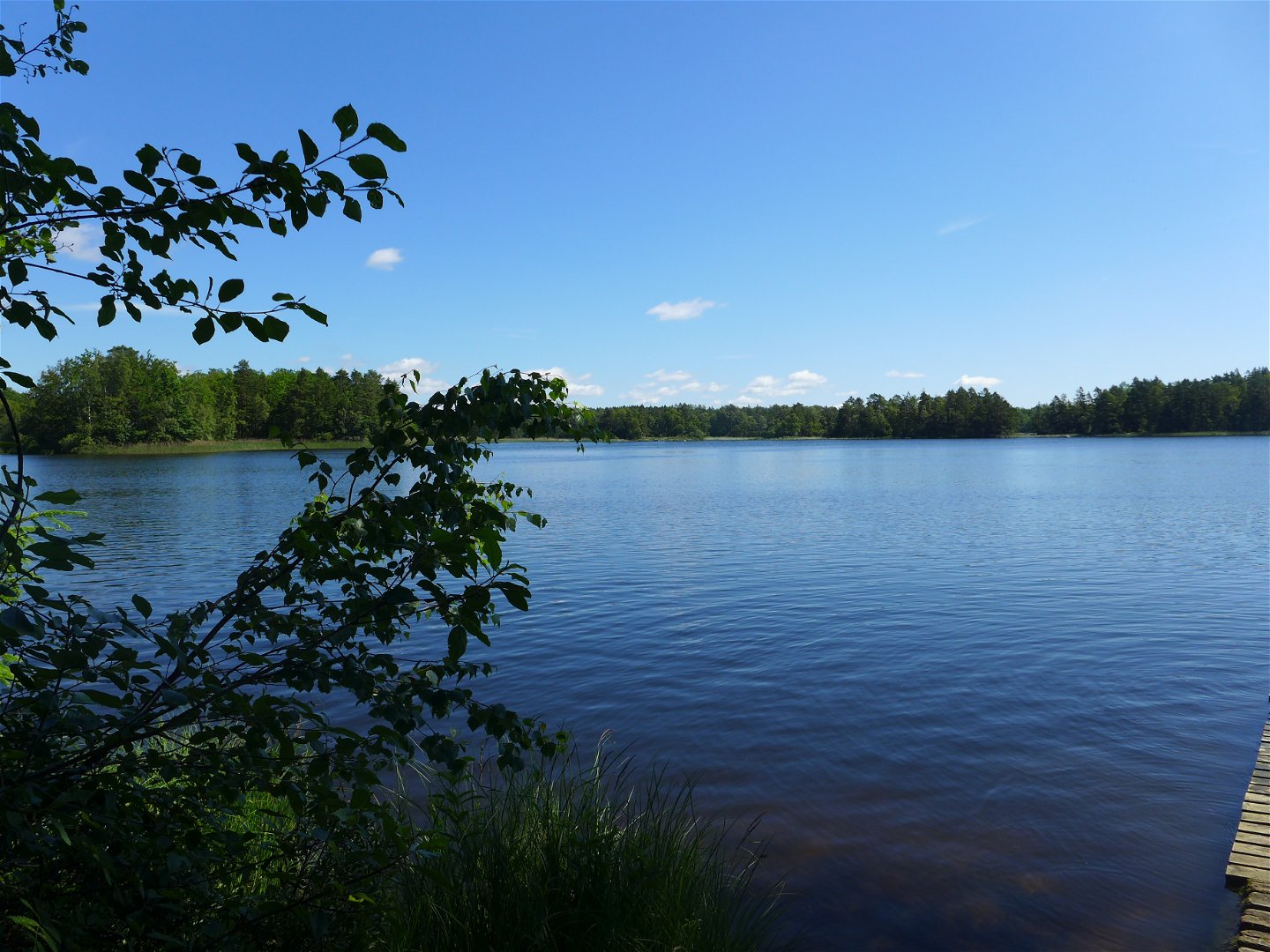
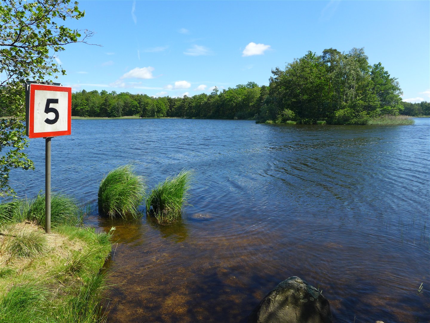
There are different kinds of canoeing through the Mörrum River water system, ranging from narrow rift valley lakes in the north, surrounded by coniferous forests, to large floodplain lakes with fjords and islands in Lake Åsnen. The Värendsleden canoe route begins at Lake Asasjön on the South Swedish Highlands. In order to preserve our wonderful canoe routes in Växjö municipality, there are 16 camping locations along the route where you can spend the night. These give you access to chemical toilets, waste disposal, and fireplaces. Several of the places also have windbreaks. Be considerate of animals and nature and respect the Right to Roam (allemansrätten) rules on your paddling trip. You can find more information on the trail map that covers all seven sections, of which Sections 1 to 4 flow through Växjö municipality.
Activities And Facilities
-
Paddling
Directions
Put on your life jacket, pack your canoe and start your paddling trip in Asa, Åby, Evedal or on northern Hissö. Along the trail there are several suitable campsites to start the adventure.
Downloads
Contact
Address
Telefon 0470-410 00
Email address
Kontaktcenter
Organization logotype

Please be aware that some of these texts have been automatically translated.
Questions & Answers
Ask a question to other Naturkartan users.

