-

Värmlands Säby gård -

Värmlands Säby

Värmlands Säby
Wędrówki piesze
- Województwo: Värmlands län
- 6682.29 km od Ciebie
Szczegóły dotyczące szlaku
- Długość 5.5 km
- Trudność Zielony - prosty
Akcje
Opis
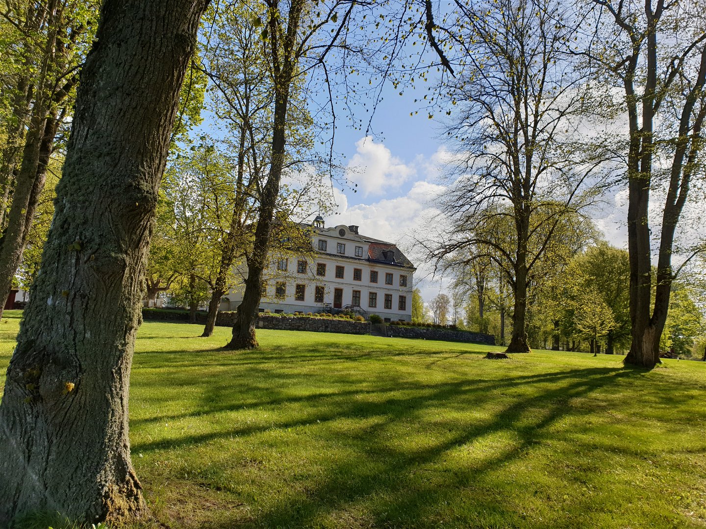
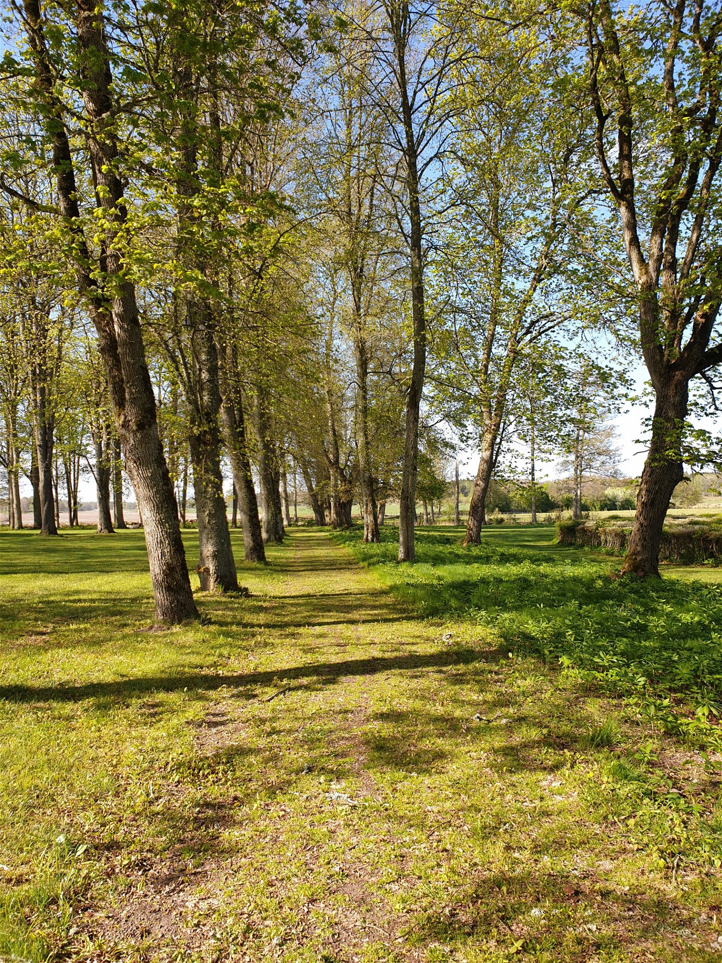
Värmlands Säby lies on land of great cultural heritage. One thousand years ago this area was owned by the monastery of Riseberga. This nature reserve has an abundance of plants, magnificent old oak trees and rich bird life. In the northern part of the reserve there is a 5 km long trail.
There are information signs at the car park and entrance of the reserve. Rest areas along the trail. Enjoy the view of Kolstrandsviken (Vänern) from Sandholmen.
Działania i udogodnienia
-
Wędrówki piesze
Dostępność
-
 Blisko parkingu
Fakty
Värmlands Säby has a variety of vegetation; temperate deciduous forest, pastures, waterlogged wooded terrain, meadows and wet meadows. The area is of national importance and is included in the Natura 2000-project (European Union). It is also classified as a wetland of international importance.
The trail passes through grazing pastures, and we ask you not to bring a dog. The area is used for hunting.
Roślinność
The nature reserve has a wide variety of habitats such as broadleaf forests, pastures, deciduous swamp forests, dry meadows and coastal meadows.
The area is of national interest and is part of the EU's network of protected nature, Natura 2000.
Parking
Parking is available adjacent to the nature reserve.
Wskazówki dojazdu
From Kristinehamn drive south on Rv26. After about 20 km, follow the sign for Värmlands Säby. Drive through the avenue and past the manor house, turn left, straight south past the grave field to the parking lot with information sign. Here begins the hiking trail that leads you into the northern part of the reserve.
Kontakt
Adres
+46 (0)550 88187
Adres e-mail
Kristinehamns turistbyrå
Logotyp organizacji
![]()
Należy pamiętać, że niektóre z tych tekstów zostały przetłumaczone automatycznie.
Pytania i Odpowiedzi
Zadaj pytanie innym użytkownikom Naturkartan.
