Ludvika - Grangärde, Romboleden Etapp 8
Pilgrim Trail
- Landkreis: Dalarnas län
- 6635.45 km von Ihnen entfernt
Details zum Weg
- Länge 21.0 km
- Zeit 7 Std.
- Schwierigkeit Blau - mittel
Aktionen
Beschreibung
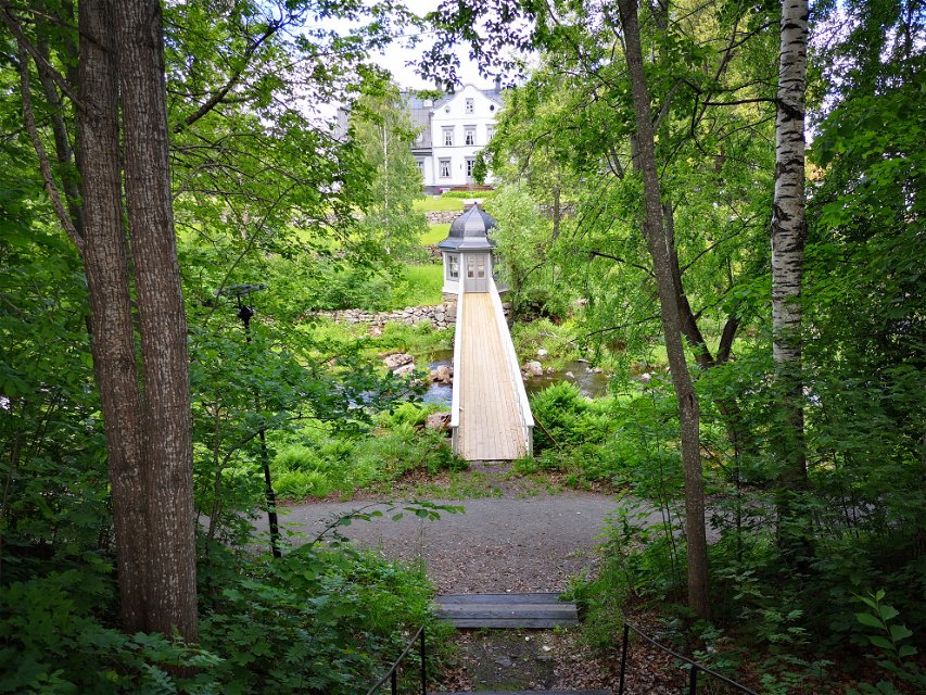
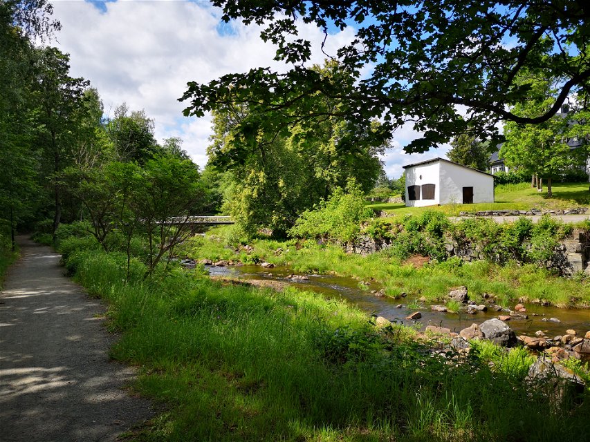
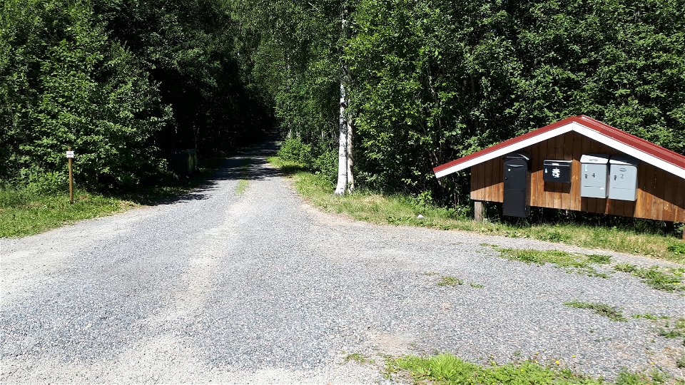
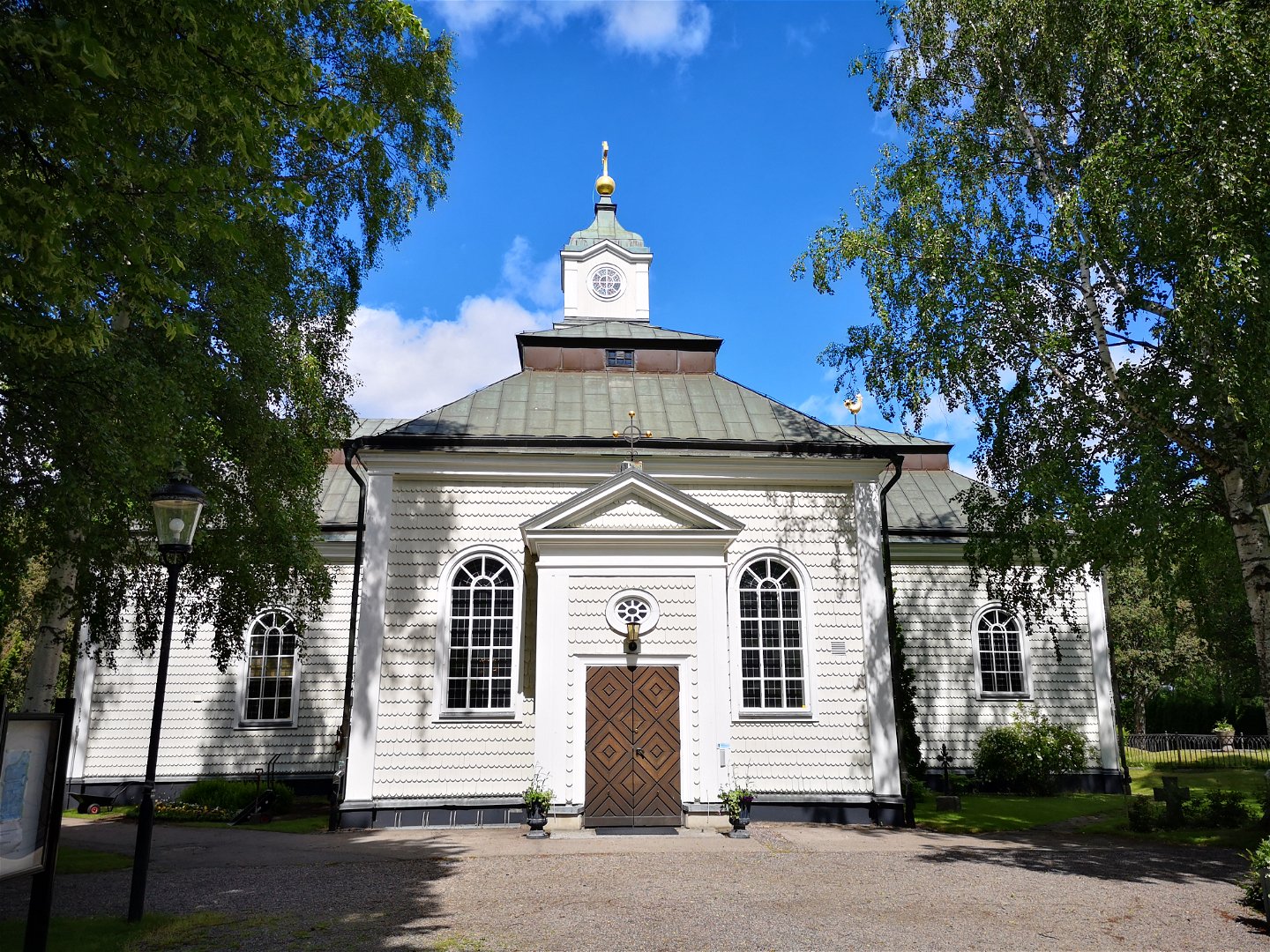
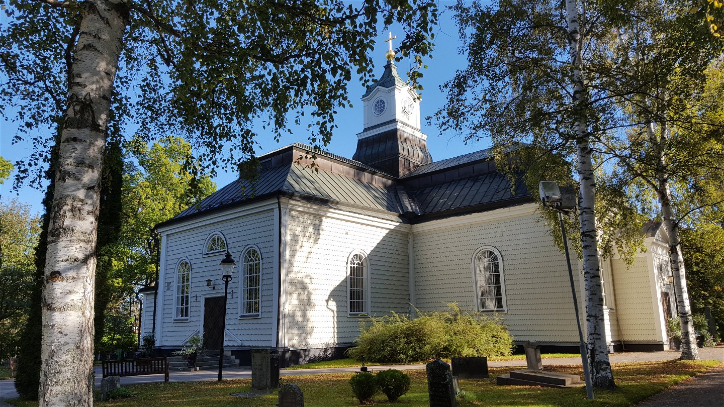
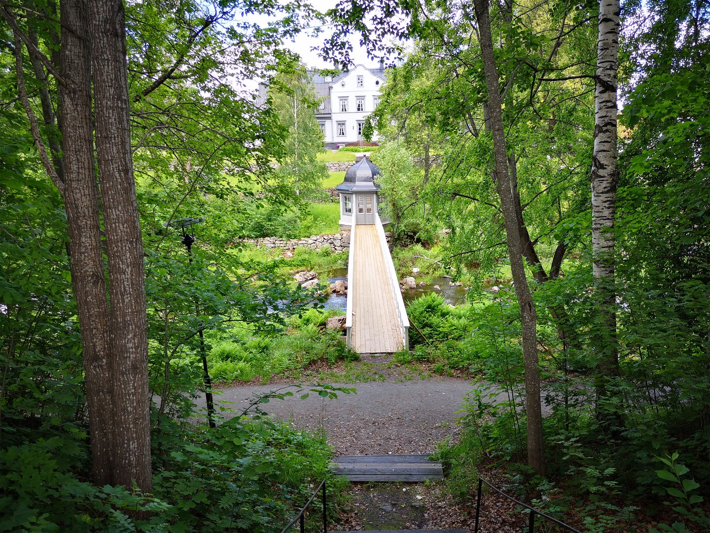
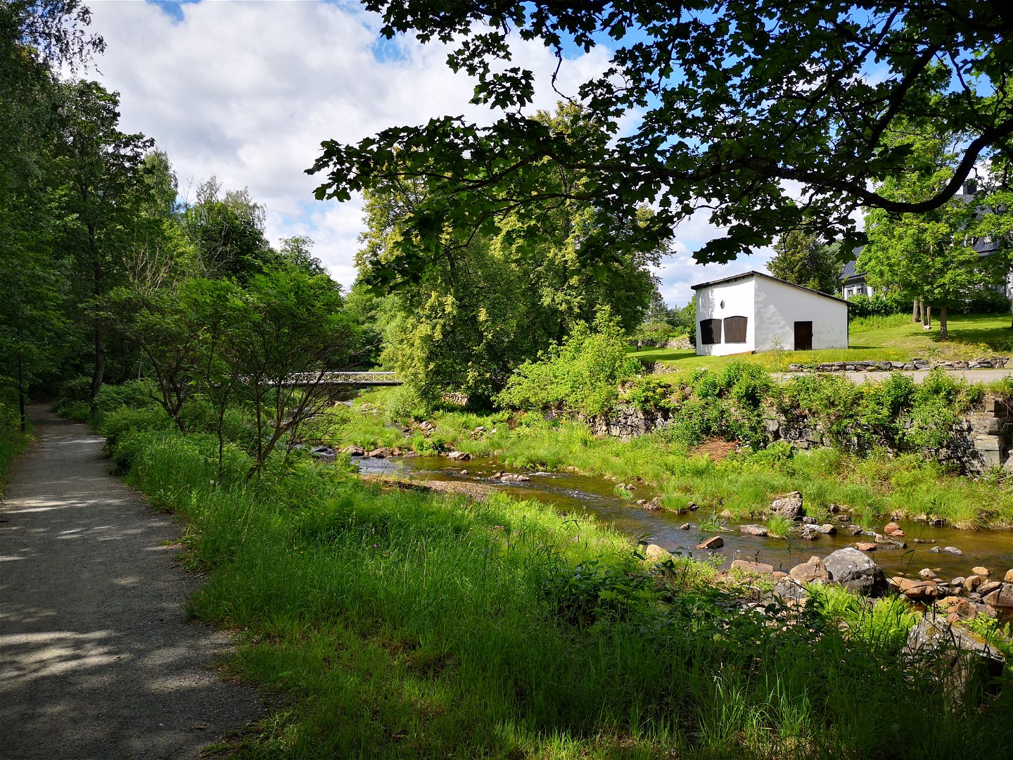
Between Grangärdes old church village with iron maker’s homesteads, and Ludvika’s streets you walk alongside lakes and through the woods. For some time you follow the old railway embankment that is now an easy to walk cycle track. The second part of the stage is in the woods, and you walk on forest paths and roads.
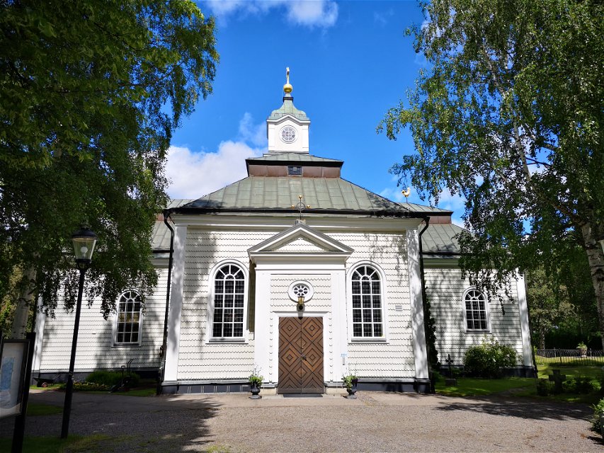
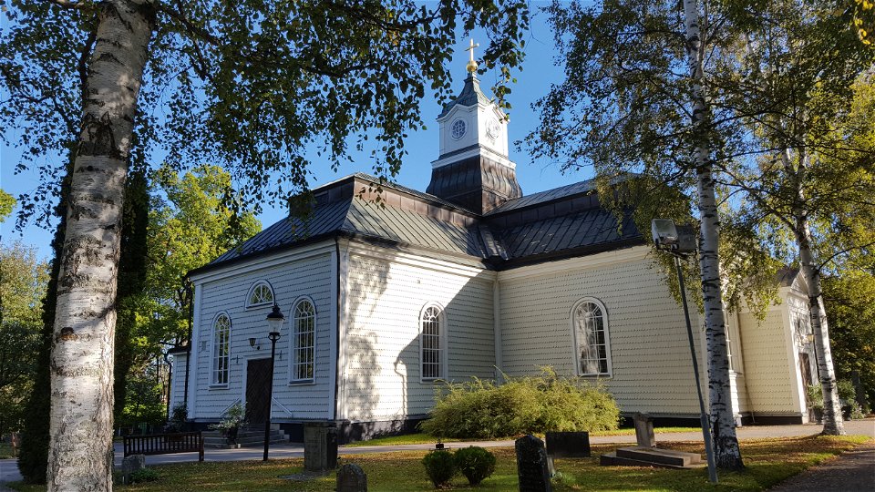
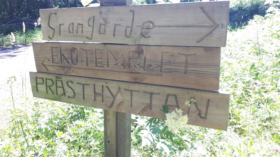
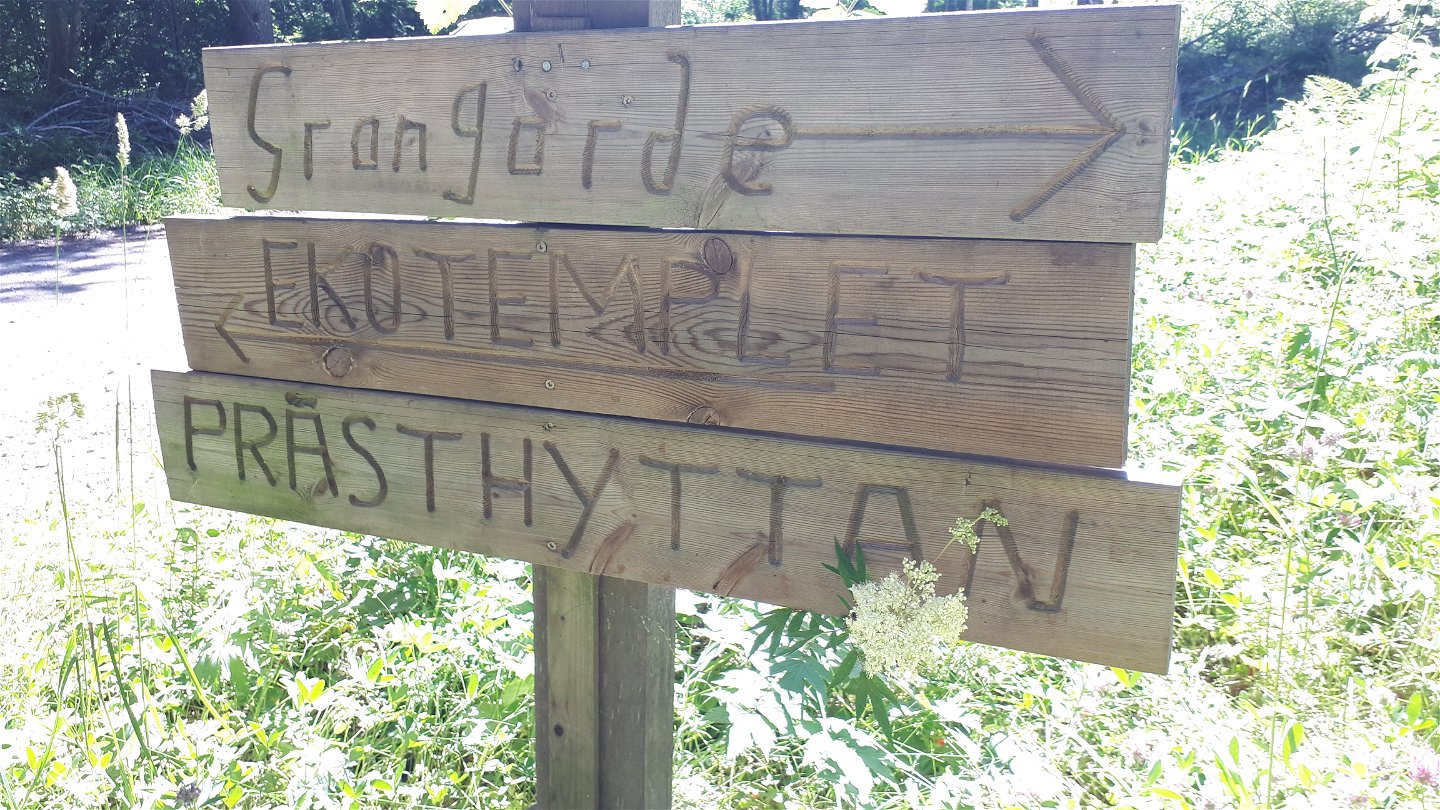
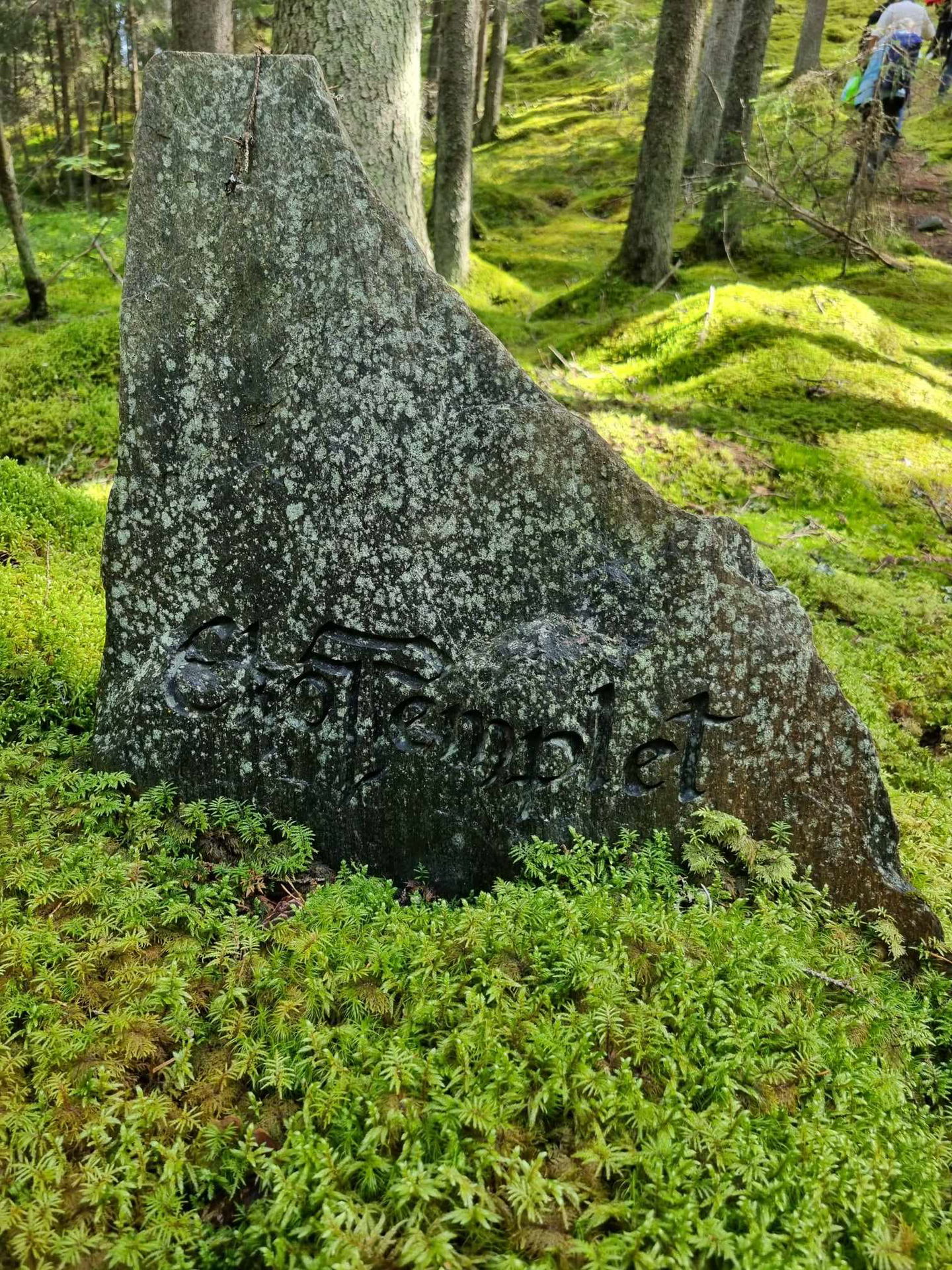
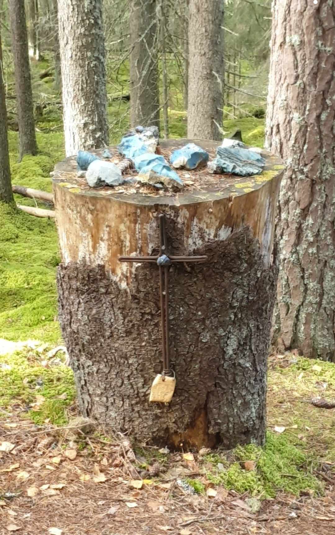
In Ludvika you will find the mine museum, the old ironworks and Ulrika church that was built for the iron workers in the 18th century. In the middle of the stage is the eco temple – a place of worship in the middle of the woods – where you can stop for a moment’s reflection.
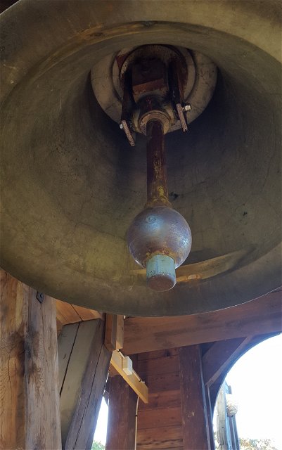
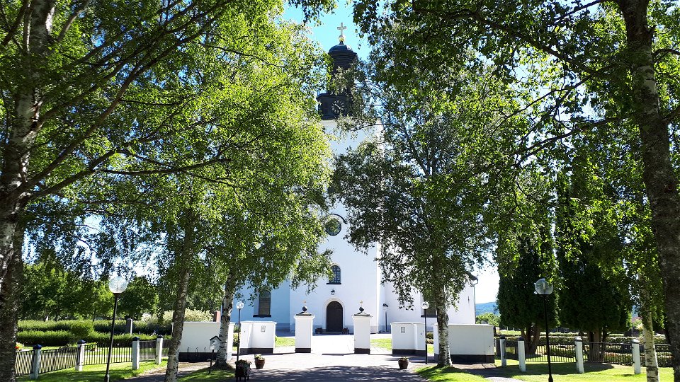
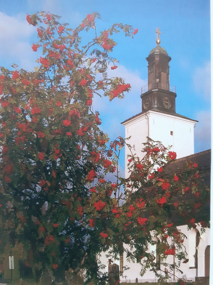
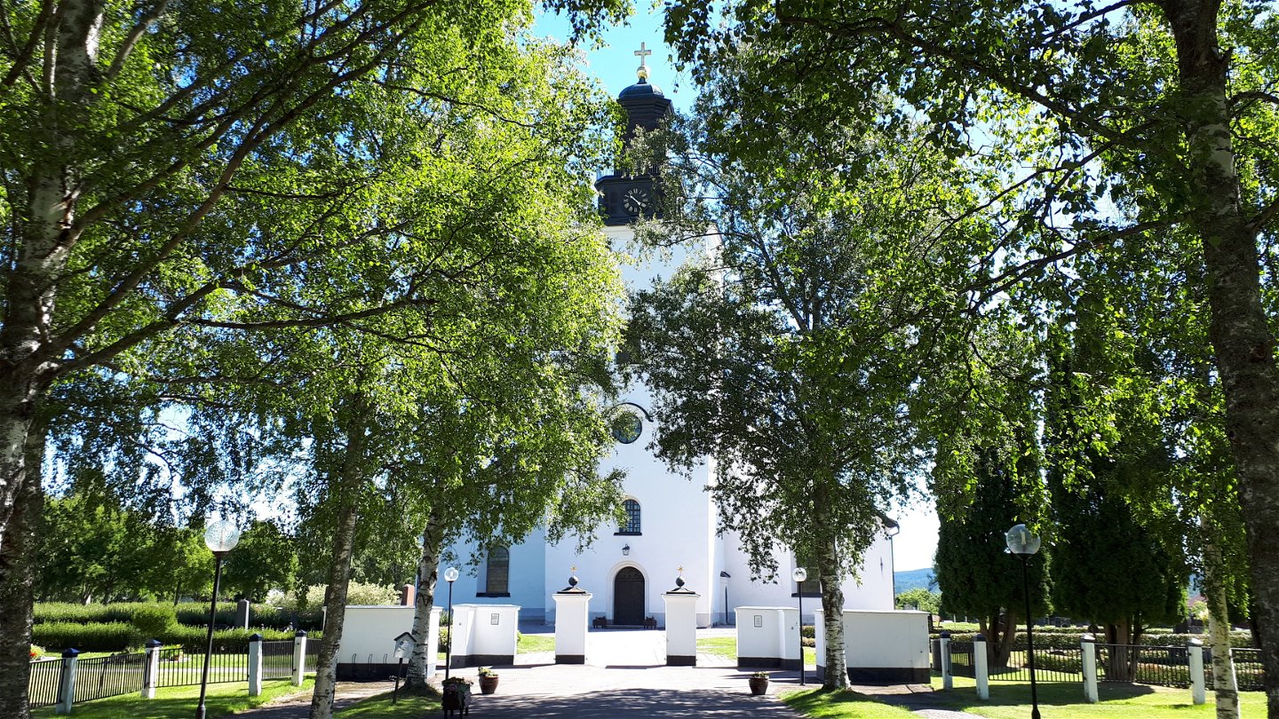
The church in Grangärde has roots from the early 15th century. There is an alter cupboard from that time and a medieval sculpture of St. Olav.
Walk in the footsteps of the pilgrims
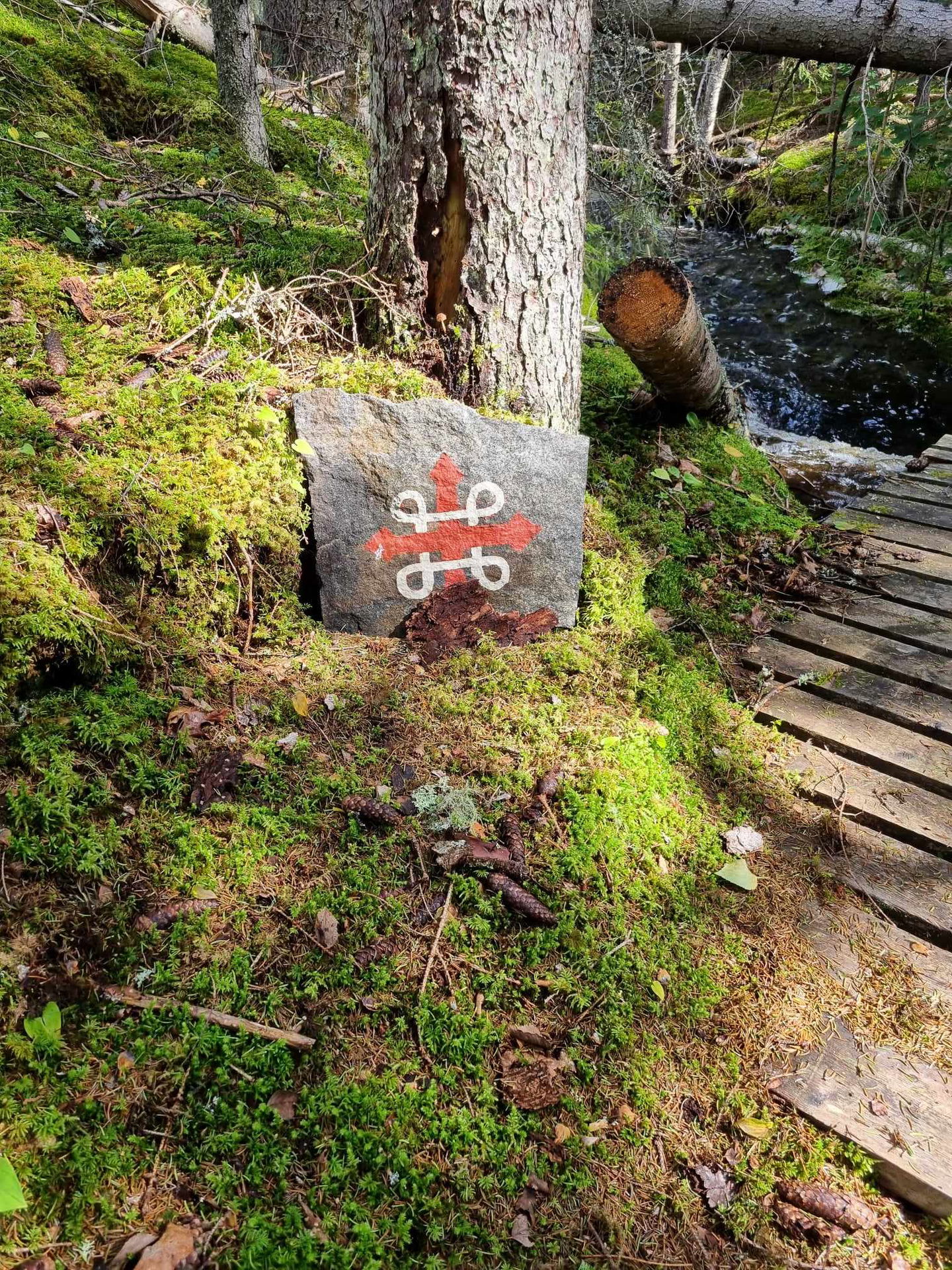
Romboleden (Rombo Way) is a pilgrimage route that people began using in the 11th century. The Romboleden is Sweden’s longest pilgrimage route at 900 kilometres long. It starts in Köping in Västmanland and finishes in Trondheim on the Norwegian Atlantic coast. If you walk the entire trail, you will experience a beautiful and varied landscape. You will walk on old chalet paths, over mountains with magnificent vistas and along narrow country gravel roads. You will find easy one-day walks with cafés along the way, and long treks that take several days. The route often passes through small villages.
Would you like to walk with a Pilgrim’s Passport and collect stamps from each stage? The medieval Pilgrim’s Passport allowed a pilgrim to walk in the whole of Europe without being stopped by rules or boundaries. These days it is just a nice memento. The Pilgrim’s Passport can be collected at several stage starting points and from the web page of Rombo Way.
Aktivitäten und Einrichtungen
-
Wandern
-
Pilgrim Trail
Fakten
Toilet and drinking water at the churches.
Oberfläche
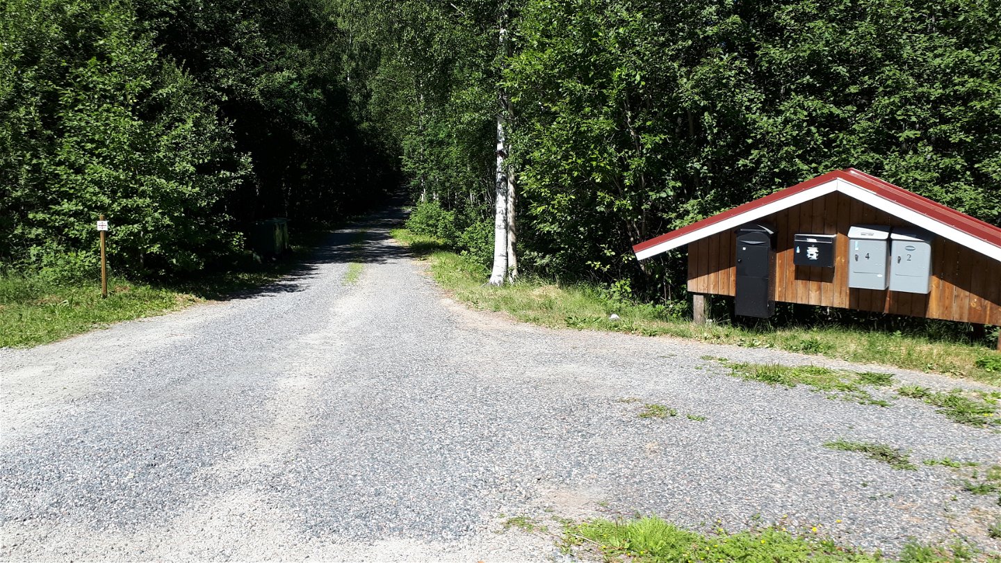
Some gravel and asphalt roads and hilly forest paths.
Hügel
Partially hilly and steep terrain, especially north of Norrvik.
Parking
Parking at the churches.
Kommunikation
Public transport Dalatrafik
Anleitung
The nearest bus station for the stage start is Karlberg, 4 minutes' walk to the church.
The nearest bus station for the end of the stage is Grangärde torget, 3 minutes' walk from the church.
Verordnungen
As a hiker, you are responsible for finding out about any local regulations, paying attention to traffic and showing consideration for others who share the trail with you.
Whenever you visit Swedish nature you have a Right to public access. Read more about it here.
As a hiker you are sometimes walking in protected nature with specific rules and regulations. You are responsible for making sure you are following the rules. You can read more about it at the Swedish Environmental Protection Agency and the County Administrative Board.
Remember to only start camp fires in established barbecue areas and ensure that there is no fire ban in your area.
Remember that you are hiking on someone else's land and that rational agriculture or forestry may occur along the trail.
Downloads
Bitte beachten Sie, dass einige dieser Texte automatisch übersetzt worden sind.
Fragen & Antworten
Stellen Sie eine Frage an andere Naturkartan-Nutzer.

