Lövnäsvallen - Lofsdalen, Romboleden Etapp 25
Pilgrim Trail
- Landkreis: Jämtlands län
- 6969.17 km von Ihnen entfernt
Details zum Weg
- Länge 49.3 km
- Zeit 53 Std.
- Schwierigkeit Rot - anspruchsvoll
Aktionen
Aktuell
This stage requires mountain experience and is recommended for hiking in July, August and September.
Remember to bring extra food, a camping stove with fuel and tent. Water can be taken from lakes and streams, you are responsible for purifying it yourself. A map and compass and knowledge of how to use them are essential. Be prepared for sudden changes in weather. Show great consideration for reindeer.
Beschreibung
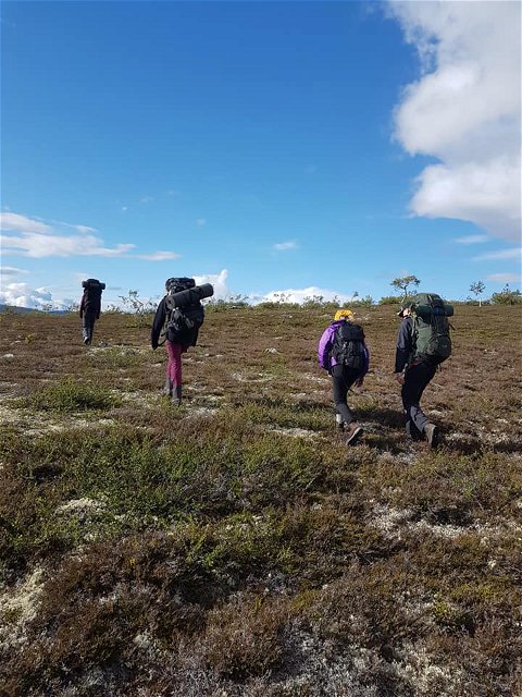
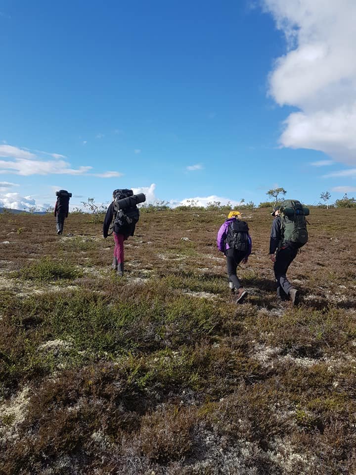
This stage takes you through a beautiful -mountain area with breathtaking views. When the trail crosses open mountain terrain, it is marked with cairns.
Lillhärjåbygget is a working mountain farm with traditional summer pasture practices, located in roadless land. You can stay overnight here, but you must contact the farm owner in advance. For updated information about Lillhärjåbygget, visit lansstyrelsen.se/jamtland.
This is a demanding stage that takes at least three days. It should only be undertaken by someone with significant hill-walking experience. Be prepared for additional overnight stays and sudden weather changes.
Read more about the stage
Expect the stage to take 3-6 days to hike. The hike can be fantastic with views for miles, but also dangerous if the weather is bad with strong wind, fog, rain and snow.
Follow the Naturkartan app but also be prepared with a map and compass as the mobile coverage is poor. The stage is marked with red paint on trees and rocks, but there is no path to follow. Trees are generally only found at the beginning and end of the stage. The rest is high mountain area and the stage is marked on rocks and with cairns.
You can spend the night at the Lillhärjåbygget, which offers both a tent and a bed if you have booked in advance. You may then make a detour of 1 kilometer.
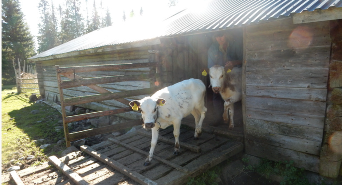
The Lillhärjåbygget is a mountain farm with farmsteads that was established in 1804 and became an official settlement in 1842. The farm is based on animal husbandry with mountain cows of the land breed mountain cattle, sheep and chickens. The Lillhärjå building is located in roadless country, 710 meters above sea level. The Lillhärjå building is now classified as a cultural reserve.
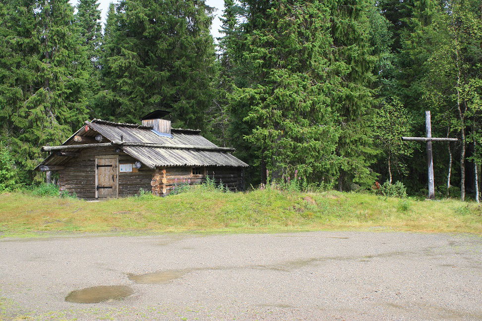
A shelter is available at Lövhatten. There is a rest cabin at Sömlinghogna 3 kilometers from Romboleden.
There is no wood in the mountains to start a fire, you need to carry camping kitchen and fuel with you.
In Lofsdalen you can spend the night and stock up. There are shops, restaurants and several accommodations. At Rombovallen there is a cottage to spend the night in.
Walk in the footsteps of the pilgrims
Romboleden (Rombo Way) is a pilgrimage route that people began using in the 11th century. The Romboleden is Sweden’s longest pilgrimage route at 900 kilometres long. It starts in Köping in Västmanland and finishes in Trondheim on the Norwegian Atlantic coast. If you walk the entire trail, you will experience a beautiful and varied landscape. You will walk on old chalet paths, over mountains with magnificent vistas and along narrow country gravel roads. You will find easy one-day walks with cafés along the way, and long treks that take several days. The route often passes through small villages.
Would you like to walk with a Pilgrim’s Passport and collect stamps from each stage? The medieval Pilgrim’s Passport allowed a pilgrim to walk in the whole of Europe without being stopped by rules or boundaries. These days it is just a nice memento. The Pilgrim’s Passport can be collected at several stage starting points and from the web page of Rombo Way.
Thanks to the landowners – show consideration when hiking
St Olav Rombo Way runs mainly through actively cultivated forest and agricultural land. Thanks to the generosity of the landowners and the cooperation with non-profit organizations, you have the opportunity to hike through landscapes that would otherwise be inaccessible.
As a hiker, it is important to remember that you are walking on someone else's land. Show consideration by sticking to the trail, avoiding to disturb animals, crops and ongoing work. Leave nature as you found it - or even better.
Leave nothing but footprints along the trail.
Aktivitäten und Einrichtungen
-
Wandern
-
Pilgrim Trail
Fakten
Lillhärjåbygget offers both tent space and bed when pre-booking.
Shelter at Lövhatten.
Rest cabin at Sömlinghogna 3 kilometers from Romboleden.
There is no wood on in the mountains to start a fire, you need to carry camping kitchen and fuel with you.
Shop, restaurants and several accommodations in Lofsdalen.
At Rombovallen there is a cottage for overnight stays.
Expect mobile coverage to be lacking!
Oberfläche
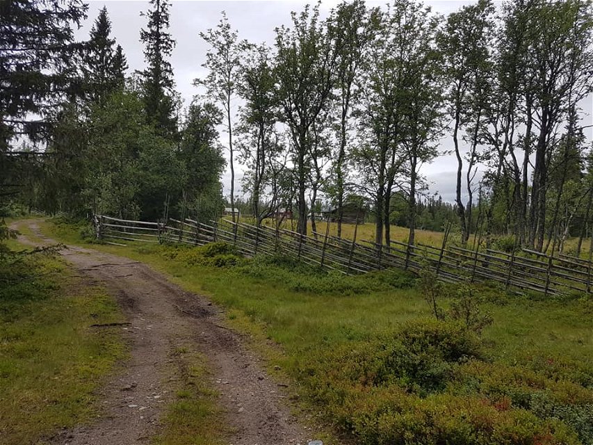
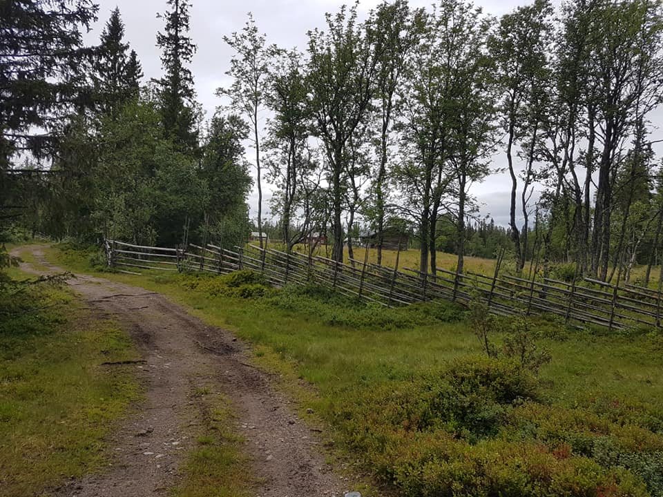
Forest close to the mountains and high mountain areas. Often no paths.
Hügel
Hilly terrain and mountain areas.
Parking
Parking is available at Lövnäsvallen and in Lofsdalen.
Kommunikation
No public transport to Lövnäsvallen. Taxis are available in Särna, approx. 40 km from Lövnäsvallen.
Bus services Lofsdalen. Information at Härjedalingen and Länstrafiken Jämtland
Anleitung
There is no public transport to the start of the stage in Lövnäsvallen.
The nearest bus station for the end of the stage is Lofsdalen, 1 hour's walk from Rombovallen.
Verordnungen
This is hiking in mountain terrain that requires more from you as a hiker and careful preparation.
Thanks to the landowners – show consideration when hiking
St Olav Rombo Way runs mainly through actively cultivated forest and agricultural land. Thanks to the generosity of the landowners and the cooperation with non-profit organizations, you have the opportunity to hike through landscapes that would otherwise be inaccessible.
As a hiker, it is important to remember that you are walking on someone else's land. Show consideration by sticking to the trail, avoiding to disturb animals, crops and ongoing work. Leave nature as you found it - or even better.
Leave nothing but footprints along the trail.
Whenever you visit Swedish nature you have a Right to public access. Read more about it here.
As a hiker you are sometimes walking in protected nature with specific rules and regulations. You are responsible for making sure you are following the rules. You can read more about it at the Swedish Environmental Protection Agency and the County Administrative Board.
As a hiker, you are responsible for finding out about any local regulations, paying attention to traffic and showing consideration for others who share the trail with you.
Remember to only start camp fires in established barbecue areas and ensure that there is no fire ban in your area.
Remember that rational agriculture or forestry may occur along the trail.
Downloads
Bitte beachten Sie, dass einige dieser Texte automatisch übersetzt worden sind.
Fragen & Antworten
Stellen Sie eine Frage an andere Naturkartan-Nutzer.

