Äventyrsrundan
Radfahren
- Landkreis: Kalmar län och Öland
- 6906.51 km von Ihnen entfernt
Details zum Weg
- Länge 70.2 km
Aktionen
Beschreibung
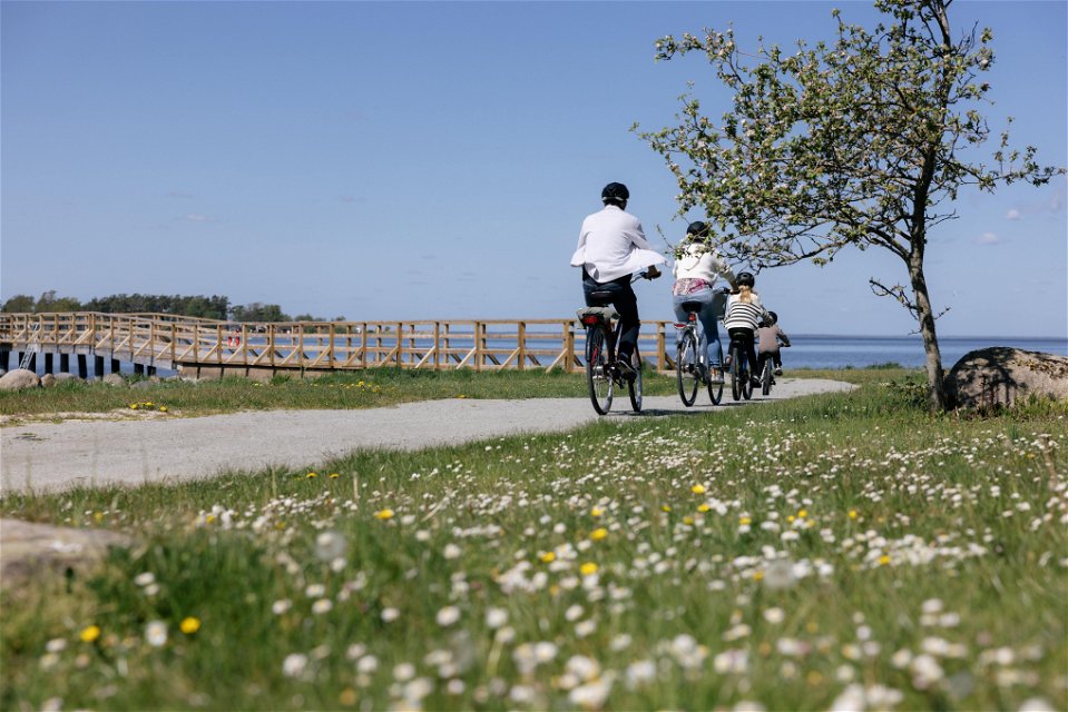
This round is like the whole of Öland. But in miniature. It's like a compressed version of all the best, food, drink, tranquillity, beach and people life in less than 23 kilometres! Isn't it great?
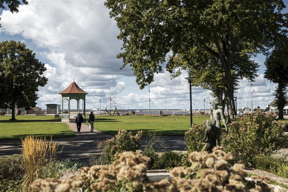
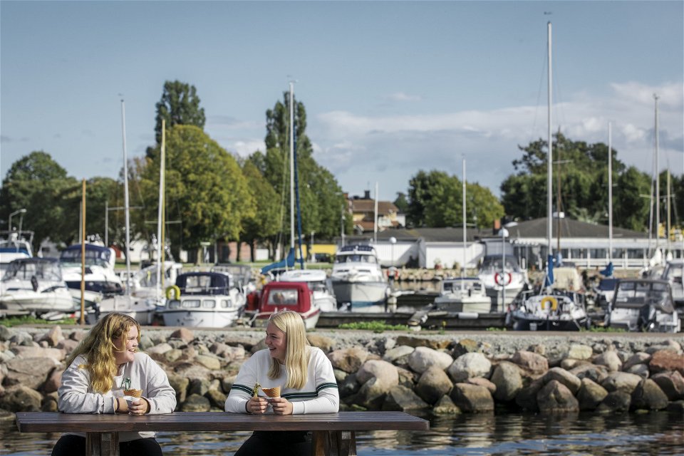
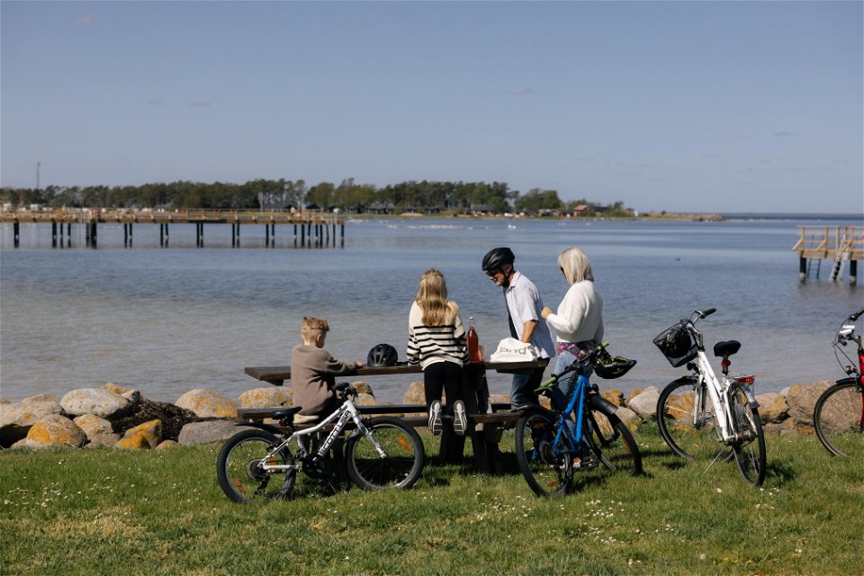
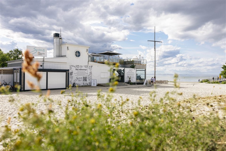
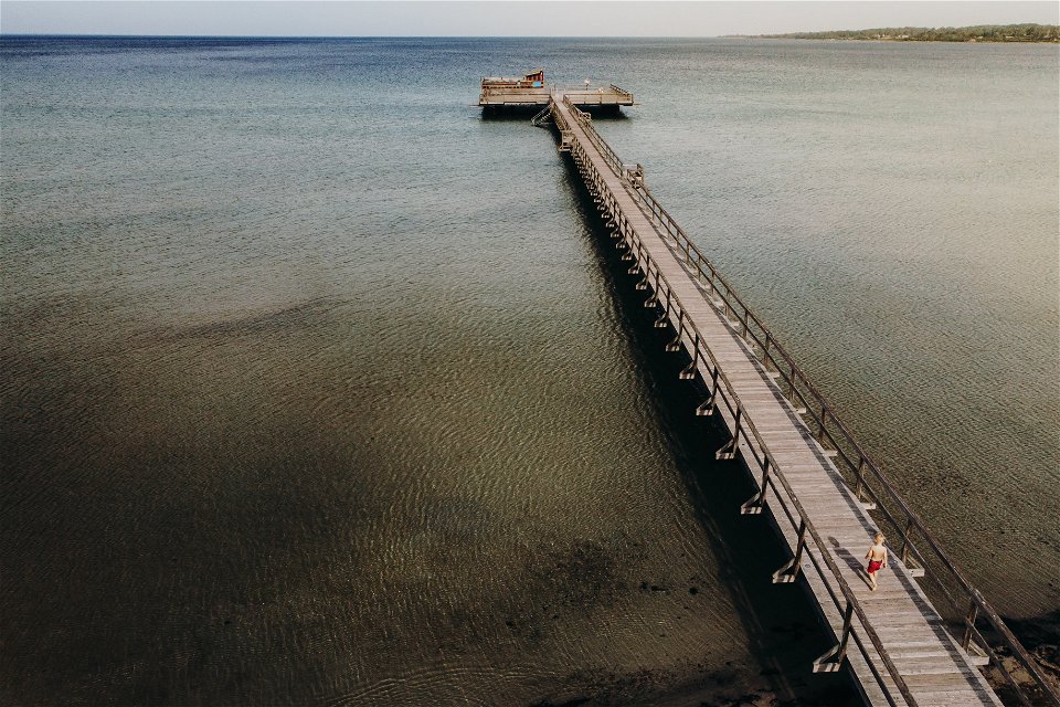
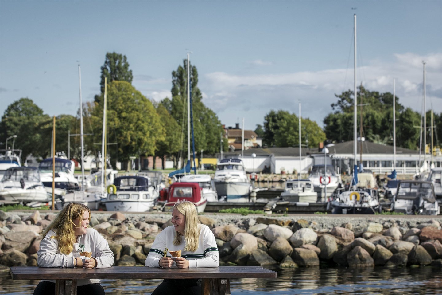
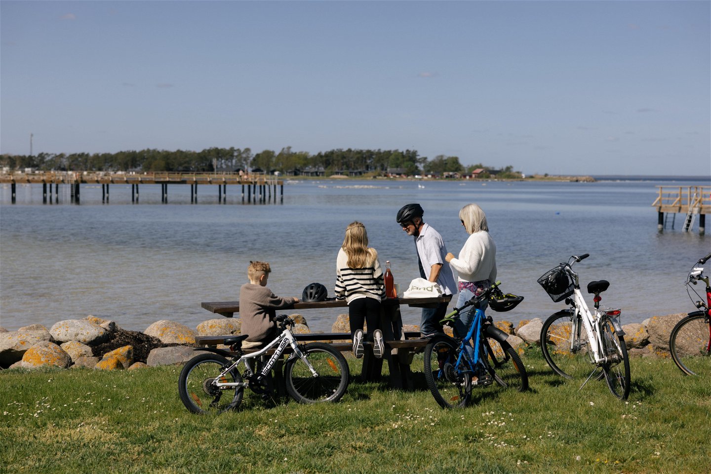
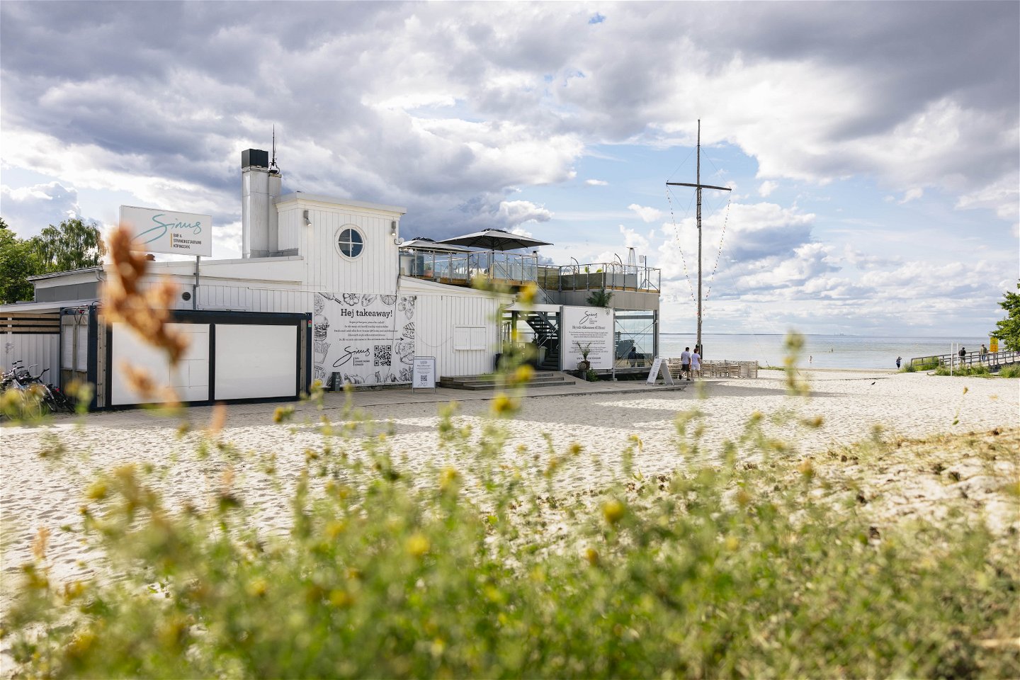
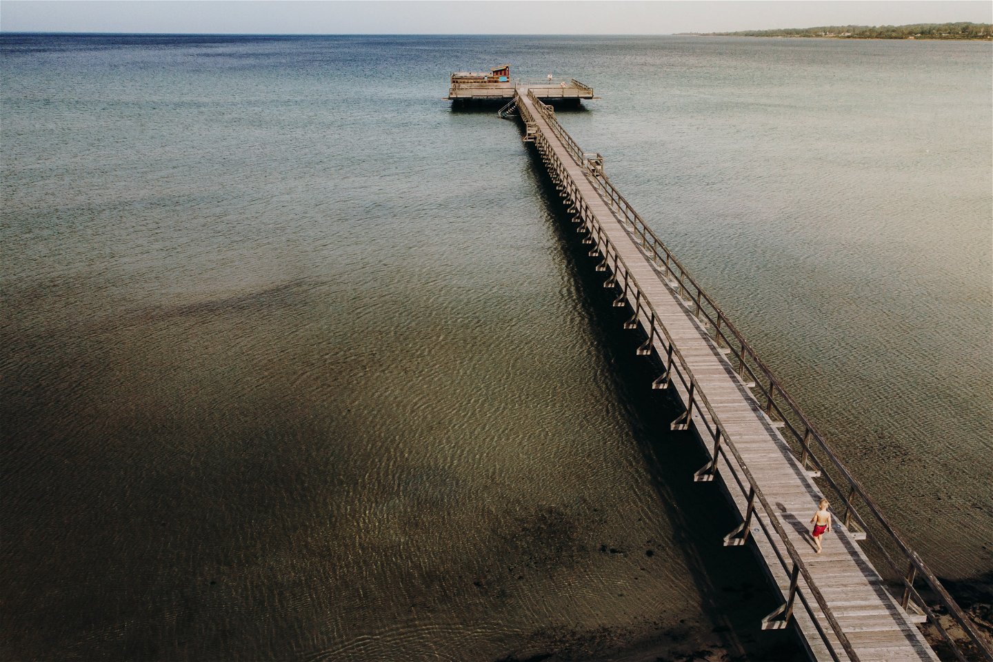
We start at the harbour in Borgholm. That's how close to Mediterranean feeling we get in this part of the country. We wind our way gently north along the waterfront, on the promenade towards Köpingsvik. After just a few kilometres, this walk offers fantastic views across the strait. Important here, however, is that there are many people walking! Take it easy. Show consideration. It's narrow but incredibly beautiful. Soon we roll into one of Öland's best and most famous beaches - Köpingsvik. Here you can eat, relax or swim. The tour then continues northwards and soon we are at Lundegårds camping. The sea is still directly to the left and here too there is the opportunity to take a break. If you drive here in the evening, we promise the best of sunsets. After Lundegård we turn inland and pretty soon we pass Eva's body cakes. Here we suggest a stop for the national dish of Öland - the body cake. If you are really hungry, we recommend three, with lingonberries, cream and butter. And a glass of milk. The tour then continues into the countryside. You will be met by fields, meadows and cows before we come back towards Köpingsvik. This time we choose to take the tour along the bustling main street. Of course, you do as you please. After that we turn up the mountain towards Kolstad where you can stop at Kaffetuppen and have something sweet with your meal. Here you will also find Kolstad ancient village with clear house foundations and stone settlements from the Iron Age.
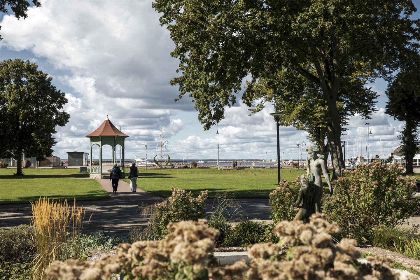
This tour ends with a turn in the old beach forest Borga hage which is a nature reserve at the edge of Borgholm Castle ruin before we roll back to Borgholm where you can, for example, finish with an afterbike in Societetsparken overlooking the sound.
Aktivitäten und Einrichtungen
-
Radfahren
-
Wandern
-
Running
-
Promenad
Fakten
Distance**:**22,7 km
Surface: 80% grusväg, 20% Asfalt. Vi rekommenderar en cykel anpassad för grusväg med bredare däck för störst njutning.
Downloads
Bitte beachten Sie, dass einige dieser Texte automatisch übersetzt worden sind.
Fragen & Antworten
Stellen Sie eine Frage an andere Naturkartan-Nutzer.

