Guijaure-Verdejaure
Wandern
- Landkreis: Norrbottens län
- 6347.32 km von Ihnen entfernt
Details zum Weg
- Länge 26.0 km
Aktionen
Beschreibung
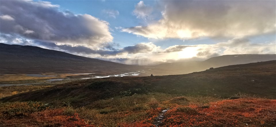
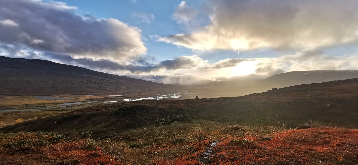
Smuolevágge Valley has much to please the eye. Trail start at Guijaure is among the most beautiful places in the Arjeplog fells, with a long, narrow lake between two mountains.
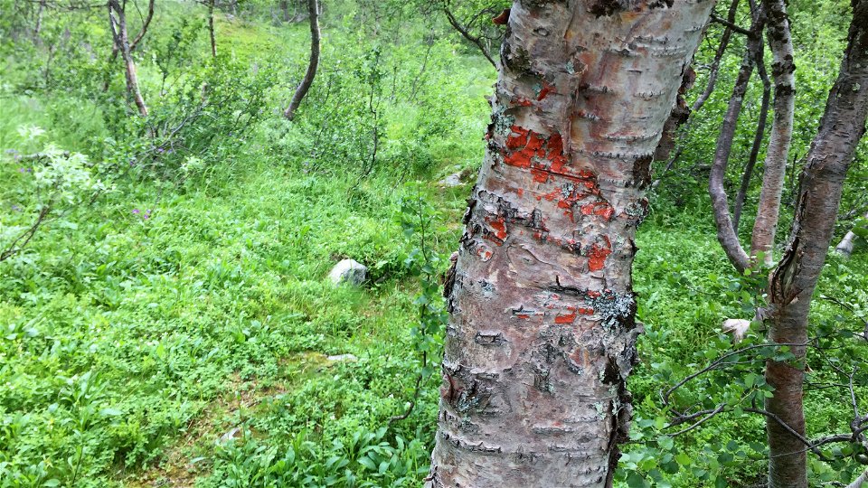
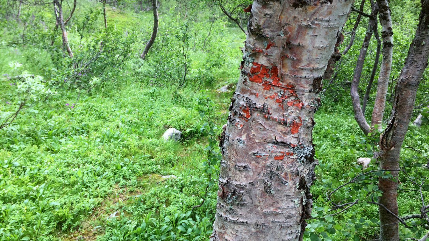
The trail crosses two bridges and continues up along a ridge. To the north rises the mountain Vávlátjårro, 1,386 m asl. After about 3 km it becomes harder to see the trail and you have to weave between birch sprigs, osiers and grass. In places there are plankways, some however in poor condition. The trail follows the north side of the valley and you hike with a delta landscape in view. On the other side of the valley rise North and West Fierrás, summits that reach 1,428 m asl. and 1,600 m asl. Your hike takes you past two reindeer herder cabins. The reindeer in the area belong to Semisjaur-Njarg Sámi community.
The trail
is interrupted in some places by eroded sections, where it can be difficult to
follow. But with the help of a map, compass and GPS it can be found again.
10
kilometres from Guijaure, the trail begins to slope downwards. After 3
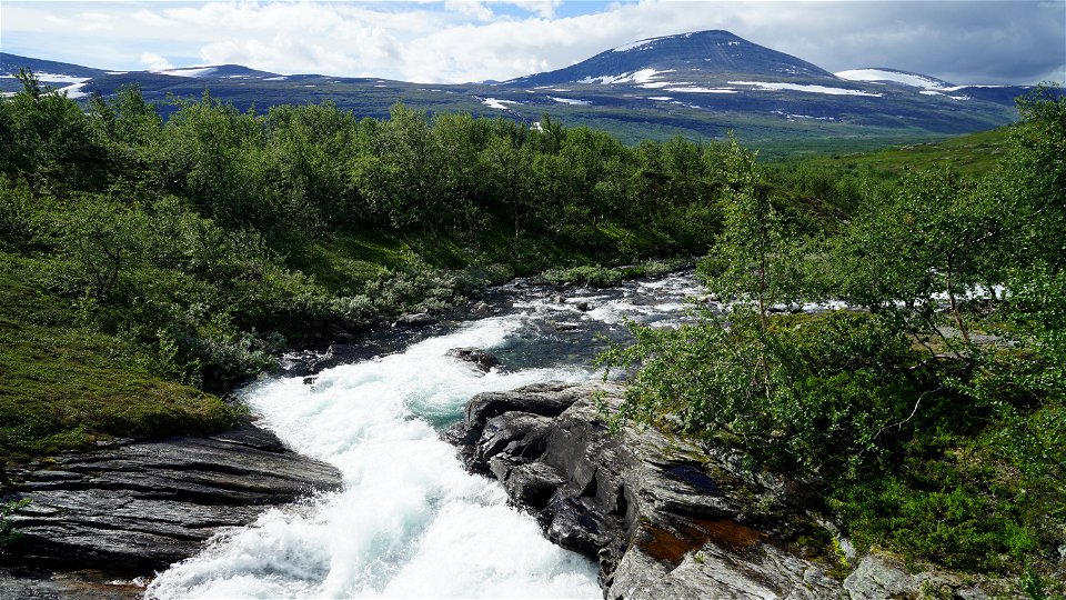
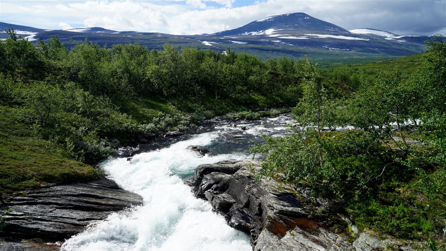
kilometres downward hiking, you arrive at the forking Smuolejåhkå rapids and
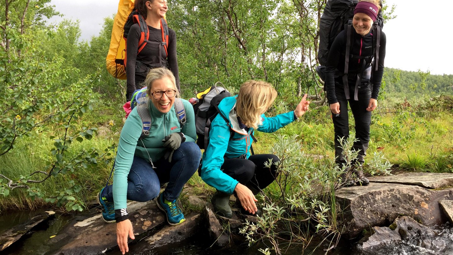
streams. Sturdy bridges carry the hiker across the fast flowing water. Here you
find good places for pitching a tent and resting.
The area has long been used for hunting and reindeer husbandry and at one time, an important trade route between Sweden and Norway passed through here. The trail was also used during the Nasafjäll mining era.
After the bridges, the trail starts to climb in the treeless landscape. After 3 km, the terrain levels out and you occasionally sea streams, which are easy to get across. You hike on gravel, stones and earth. There are however periods some years when the area is flooded by large quantities of meltwater which can cause erosion.
Some of the flowers you can glimpse during your hiking include Moss Campion, Mountain Avens, Glacier Buttercup, Diapensia, Purple Saxifrage, Alpine Veronica and Roseroot. The trail stretch ends at a crossing. You either continue westwards to Nasafjäll or head south towards Laisdalen Valley.
Duration: 1-2 days
Aktivitäten und Einrichtungen
-
Wandern
Fakten
Utflyktsguide: Gujjávrtjårro, Arjeplogs kommun (2020)
Lästips: Janrik Bromé (1923): Nasafjäll, ett norrländskt silververks historia Kenneth Awebro (1986): Raudurtvare och Jakobs Knabbe
(Swedish)
Oberfläche
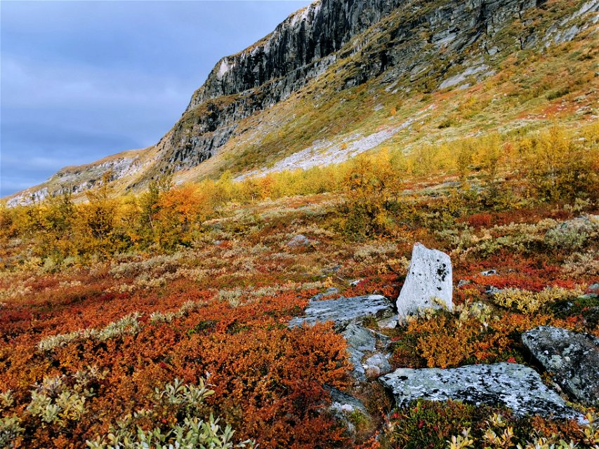
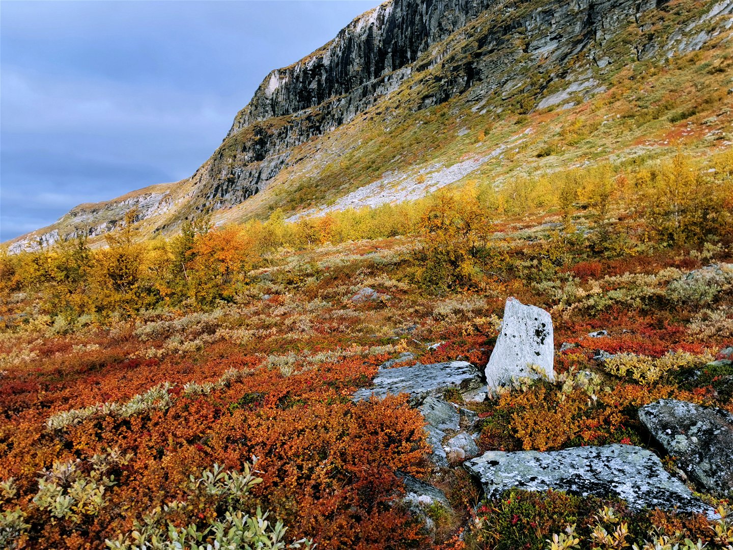
First mountain birch forest and osier, then marshy ground and in some places overgrown trail stretches followed by easily-hiked mountain moor. Work to restore the trail is planned in 2022–2024.
Kontakt
E-Mail-Adresse
Länsstyrelsen Norrbotten
Logotyp der Organisation

Bitte beachten Sie, dass einige dieser Texte automatisch übersetzt worden sind.
Fragen & Antworten
Stellen Sie eine Frage an andere Naturkartan-Nutzer.

