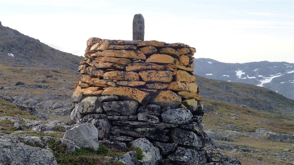
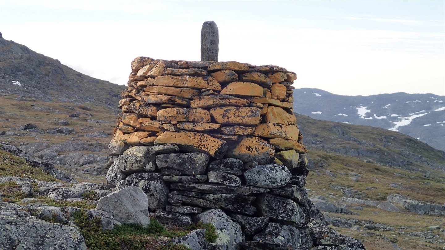
Norska gränsen-Huvki, Nordkalottleden
Wandern
- Landkreis: Norrbottens län
- 6365.45 km von Ihnen entfernt
Details zum Weg
- Länge 7.0 km
Aktionen
Beschreibung
The trail starts at border cairn 259A and is clearly marked with paint on rocks and cairns. The hike is an easy one. After a gentle upward slope, the trail descends for about 1 kilometre to the suspension bridge across Gearbiljohka stream. After the bridge, it is approximately 2 more kilometres across the low fell Huvki to the trail between Duolbanjunni and Hukejaure. Just before the climb to Huvki the trail passes a reindeer fence.
The trail formerly passed Ivarsten, border cairn 259. Be alert so that you do not follow the old trail and end up too far west. On the Norwegian side, the trail continues towards Gautelishytta (8 kilometres) on the mountain slope above lakes Huvkijávri and Vanasjávri.
Duration: 2-2,5 hours
Aktivitäten und Einrichtungen
-
Wandern
Oberfläche
Easily-hiked surface across moors and flat bedrock.
Kontakt
E-Mail-Adresse
Länsstyrelsen Norrbotten
Logotyp der Organisation

Bitte beachten Sie, dass einige dieser Texte automatisch übersetzt worden sind.
Fragen & Antworten
Stellen Sie eine Frage an andere Naturkartan-Nutzer.


