Misterfall-Kisa, Östgötaleden
Wandern
- Landkreis: Östergötlands län
- 6785.55 km von Ihnen entfernt
Details zum Weg
- Länge 17.6 km
Aktionen
Beschreibung
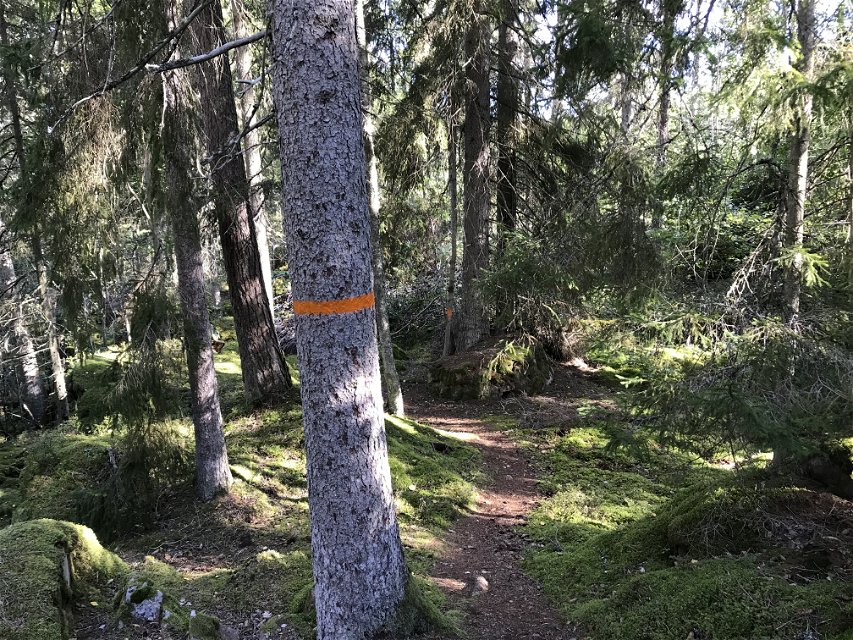
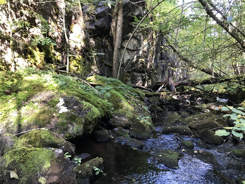
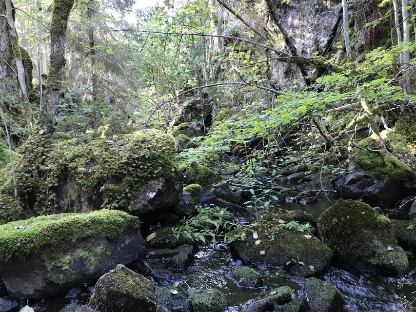
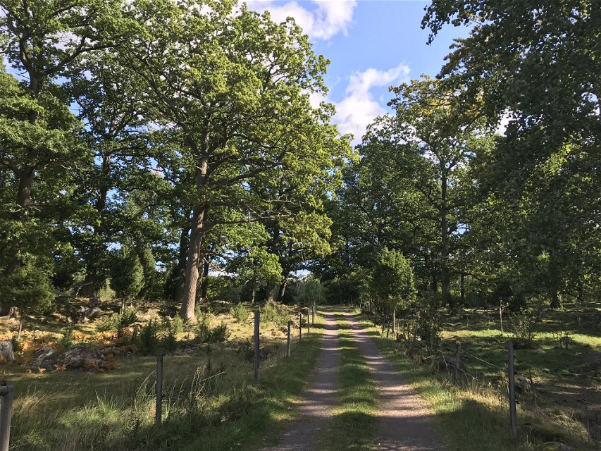
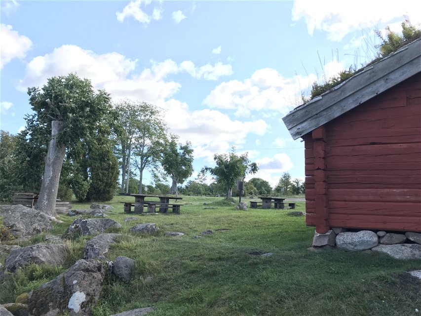
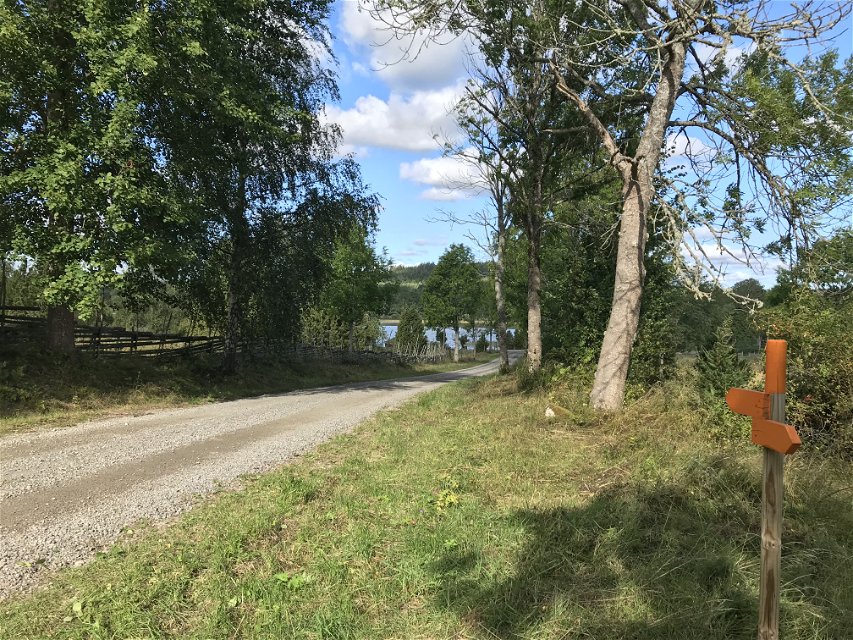
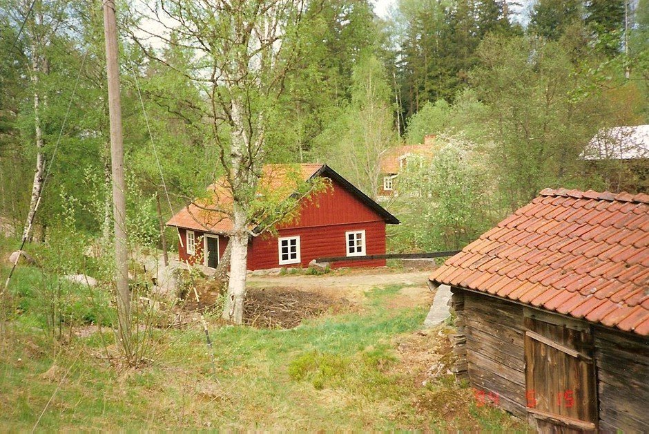
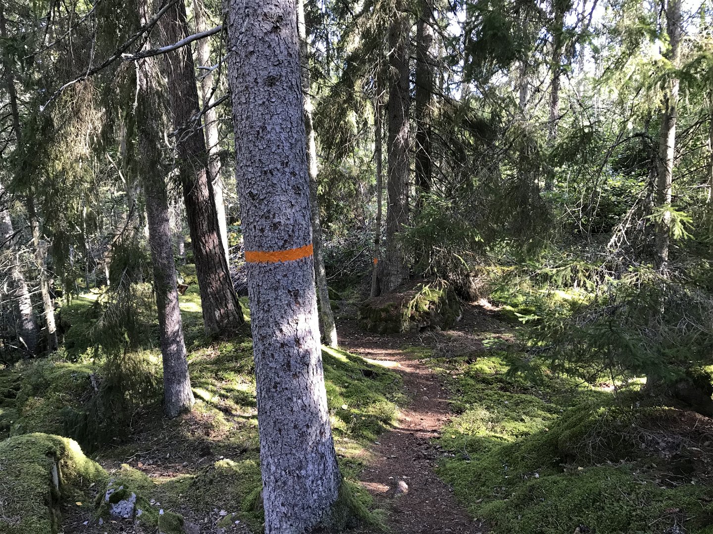
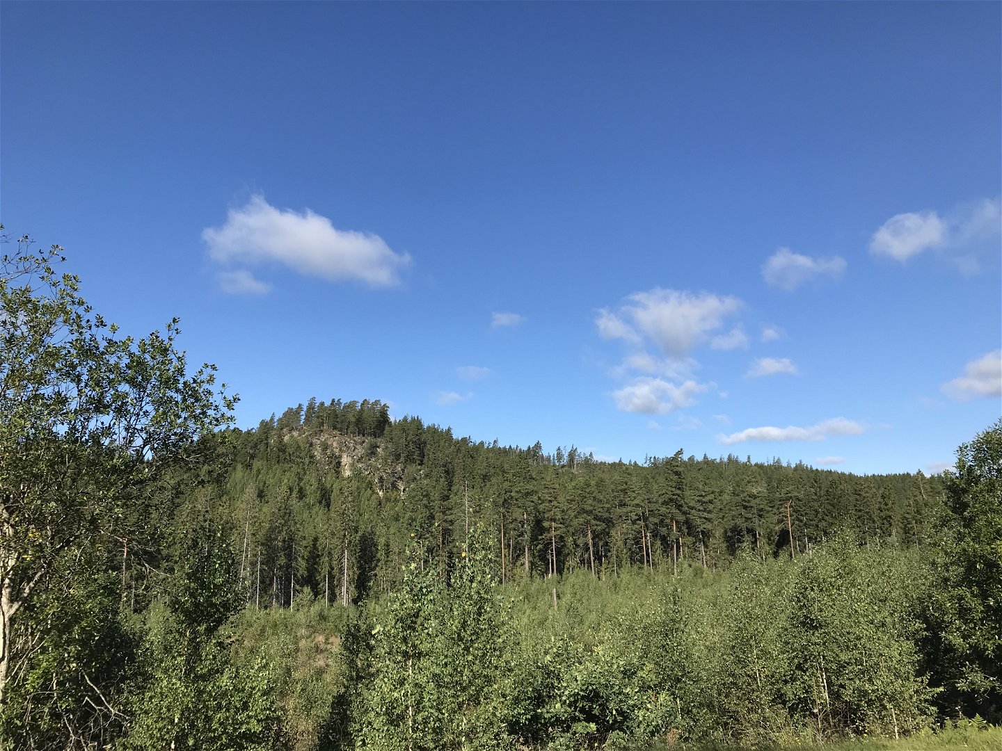
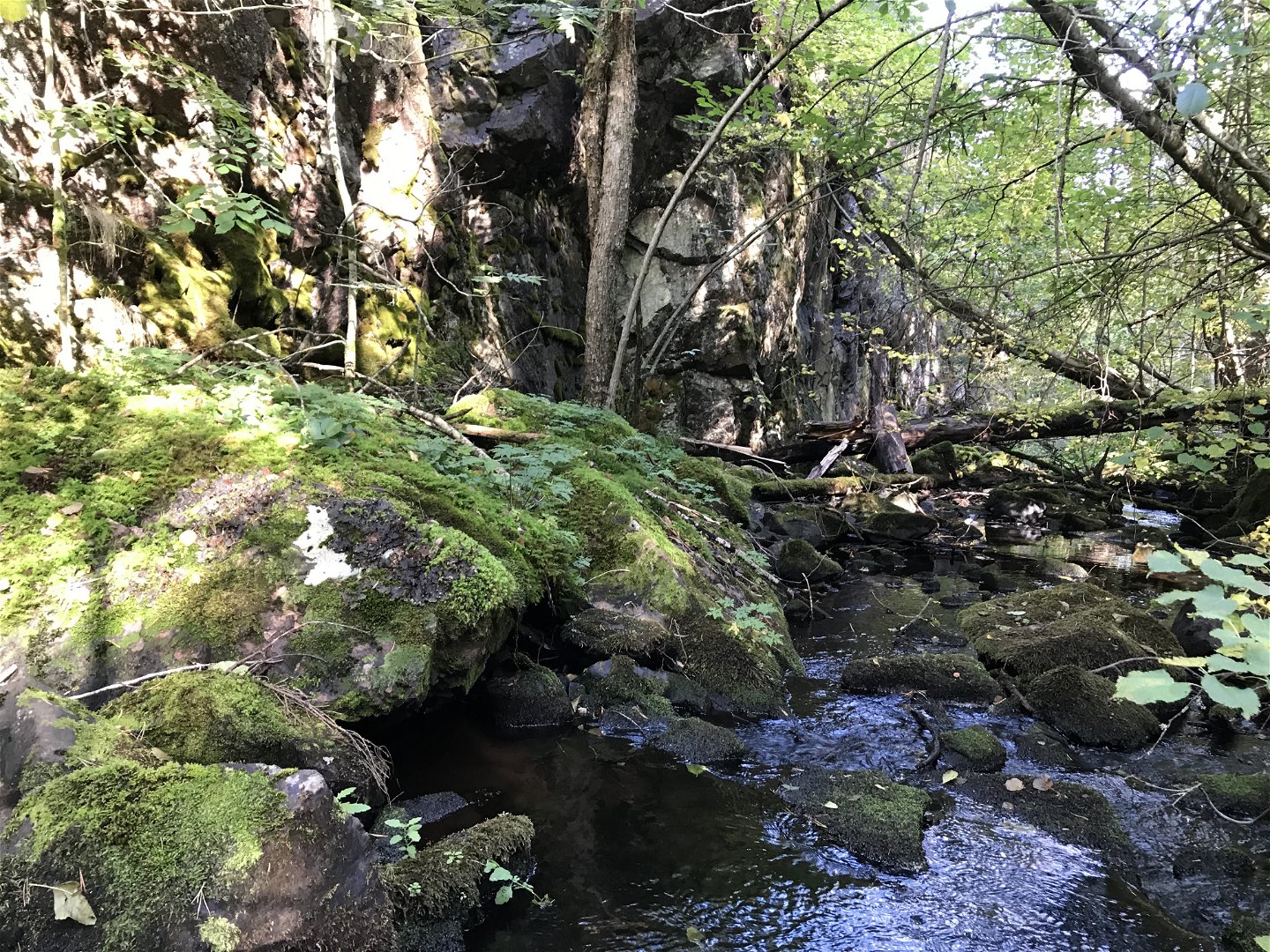
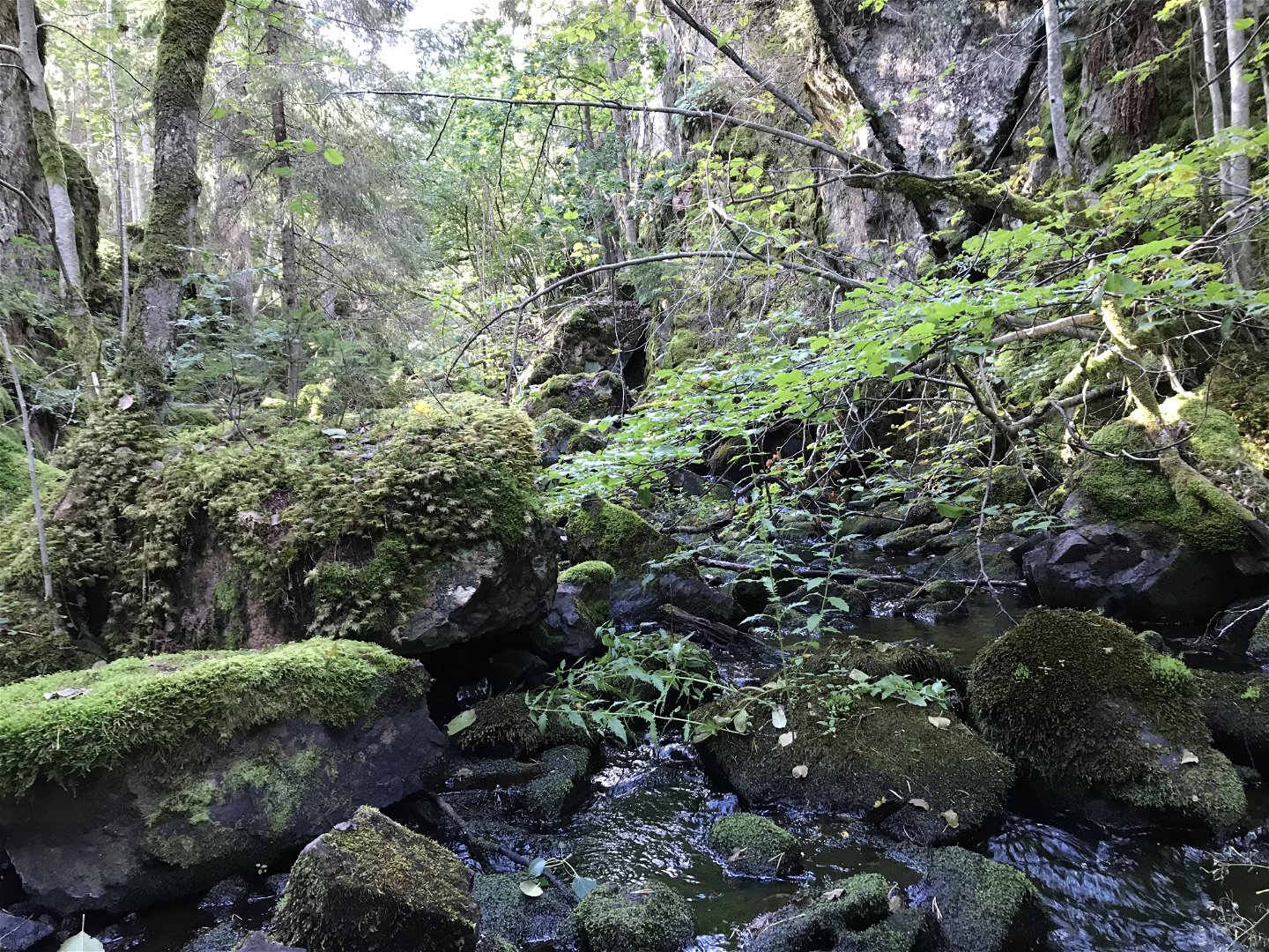
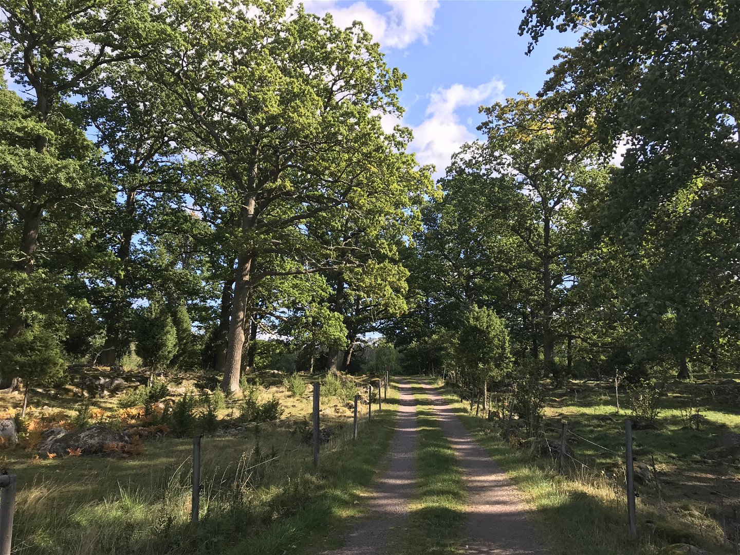
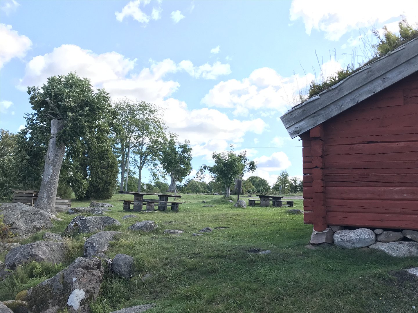
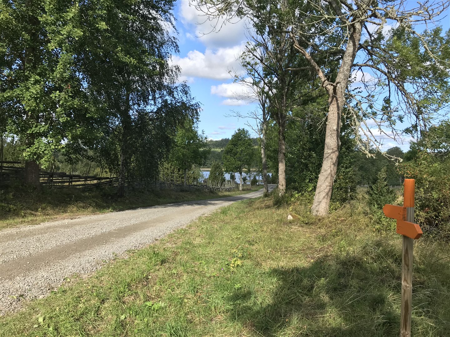
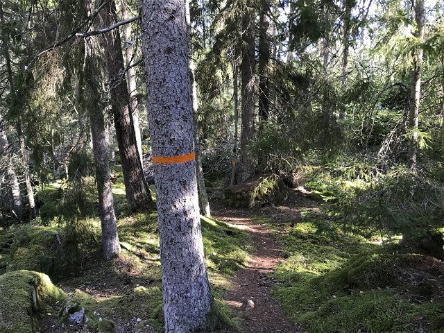
From Misterfall's ash fields you can turn off towards Kisa. You then pass Humlehögsravinen. A geologically interesting place that should really be called a canyon as it is carved out of the rock by water. The area is protected by bit protection and Natura 2000, be extra careful around the area is requested. From road 134, there is also a marked dirt track to Strömsborg's mill. The hike to Kisa is partly through forest terrain but also on small roads. The trail passes by the northern shore of Glimmingen where there is a nice swimming area.
Aktivitäten und Einrichtungen
-
Wandern
Kontakt
Adresse
Kinda kommun Stora Torget 5 KISA
E-Mail-Adresse
Kultur och Fritid, Kinda kommun
Bitte beachten Sie, dass einige dieser Texte automatisch übersetzt worden sind.
Fragen & Antworten
Stellen Sie eine Frage an andere Naturkartan-Nutzer.

