Naturstig i Medevi brunnspark
Wandern
- Landkreis: Östergötlands län
- 6719.57 km von Ihnen entfernt
Details zum Weg
- Länge 3.1 km
Aktionen
Beschreibung
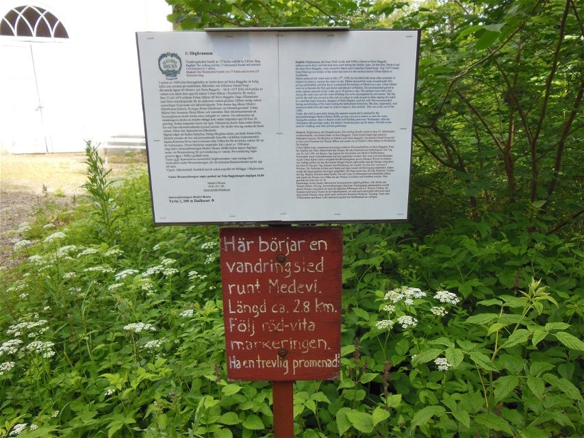
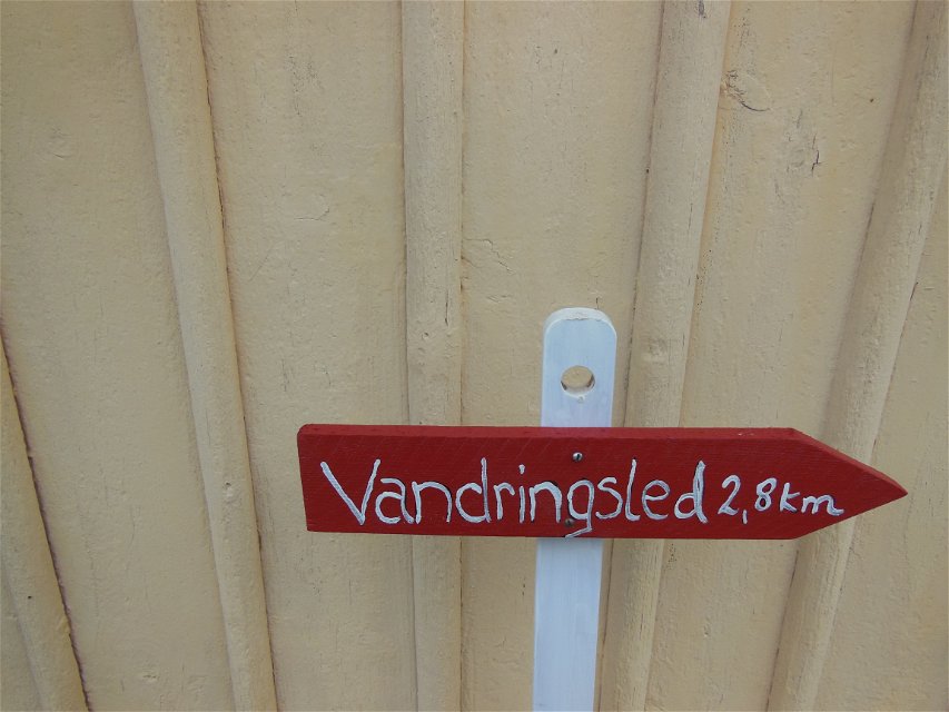
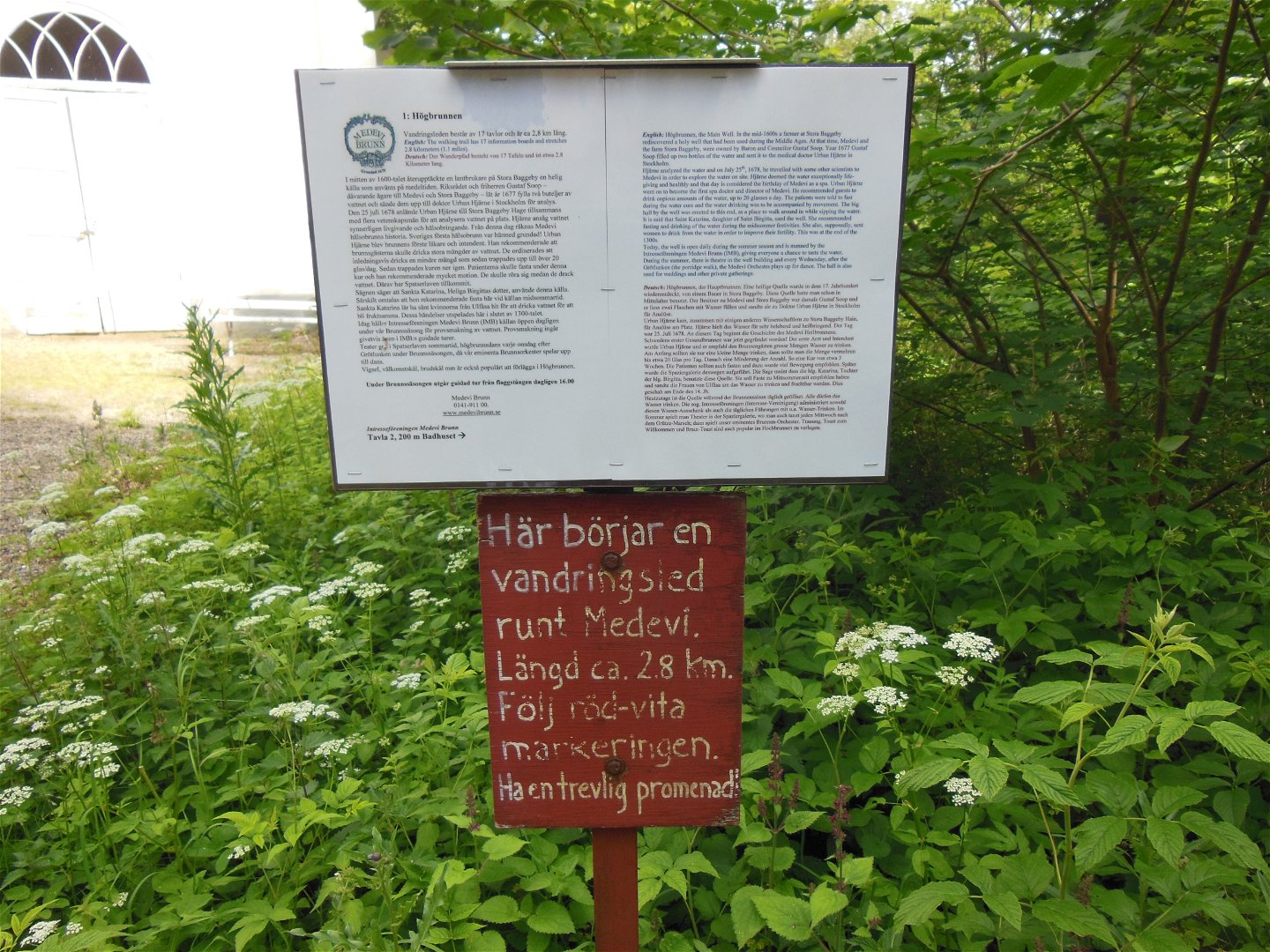
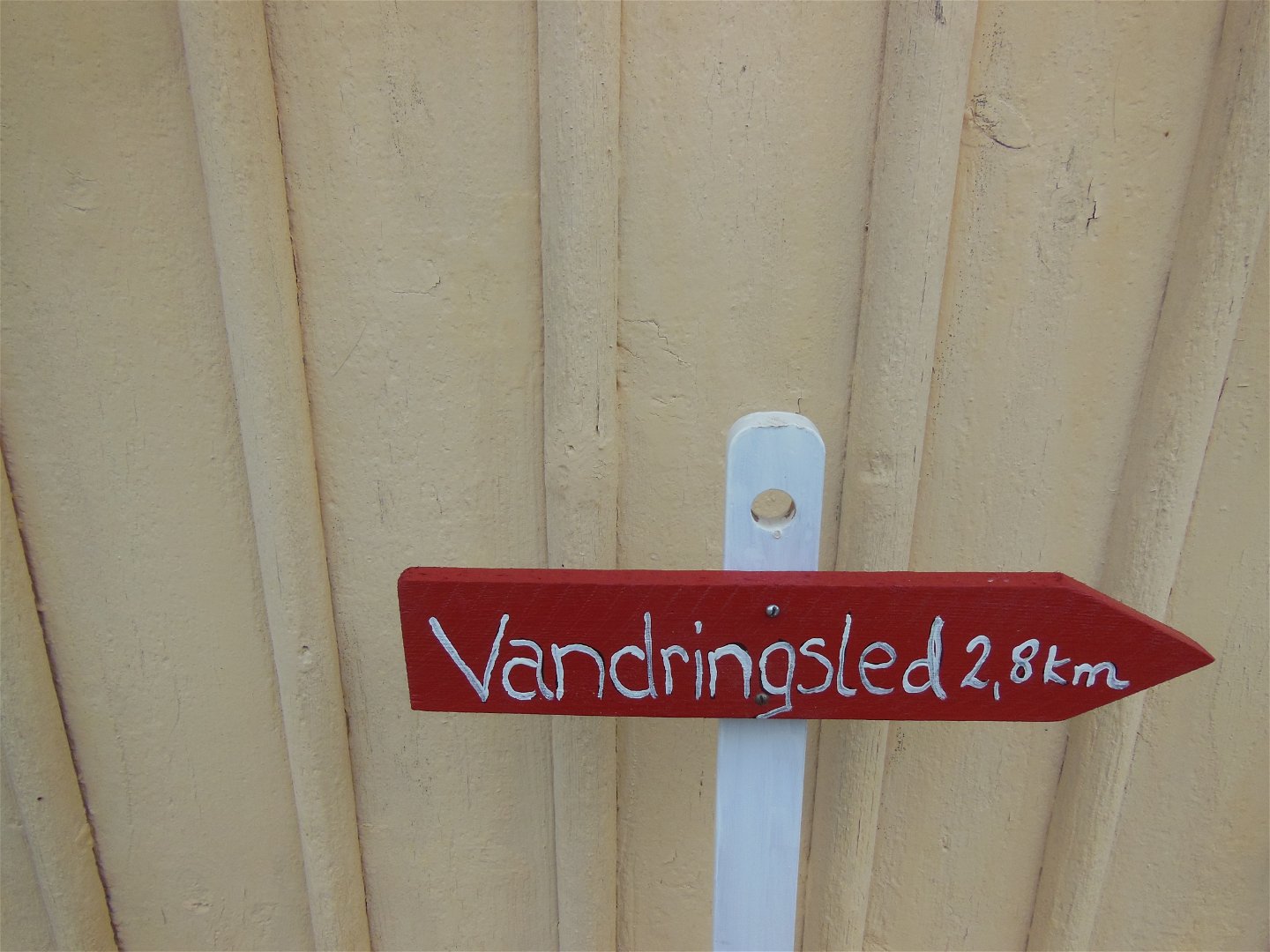
From the park, a 3 km long hiking trail starts south around a pebble ridge. The start takes place at Högbrunnen. The filtering ability of the pebble ridge has probably contributed to the good water quality of the acid well.
Aktivitäten und Einrichtungen
-
Wandern
Anleitung
Turn from highway 50 where it says Medevi Brunn.
Kontakt
Adresse
Kontakta mig om du har frågor om Motalas Naturkarta.
E-Mail-Adresse
Hilda-Linn Berglund
Logotyp der Organisation

Bitte beachten Sie, dass einige dieser Texte automatisch übersetzt worden sind.
Fragen & Antworten
Stellen Sie eine Frage an andere Naturkartan-Nutzer.

