Upplandsleden, etapp 3, Fjällnora–Länna
Wandern
- Landkreis: Uppsala län
- 6800.05 km von Ihnen entfernt
Details zum Weg
- Länge 6.5 km
Aktionen
Beschreibung
Section 3 begins at the Fjällnora recreation centre’s parking area, and ends just south of the town of Länna. In the summer, you can also get to Fjällnora on the Lennakatten museum train, and the connecting vintage bus.
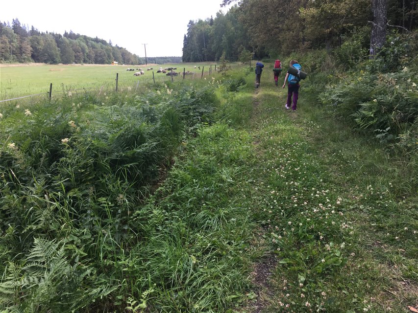
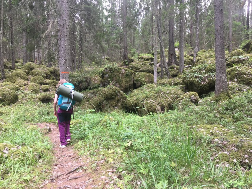
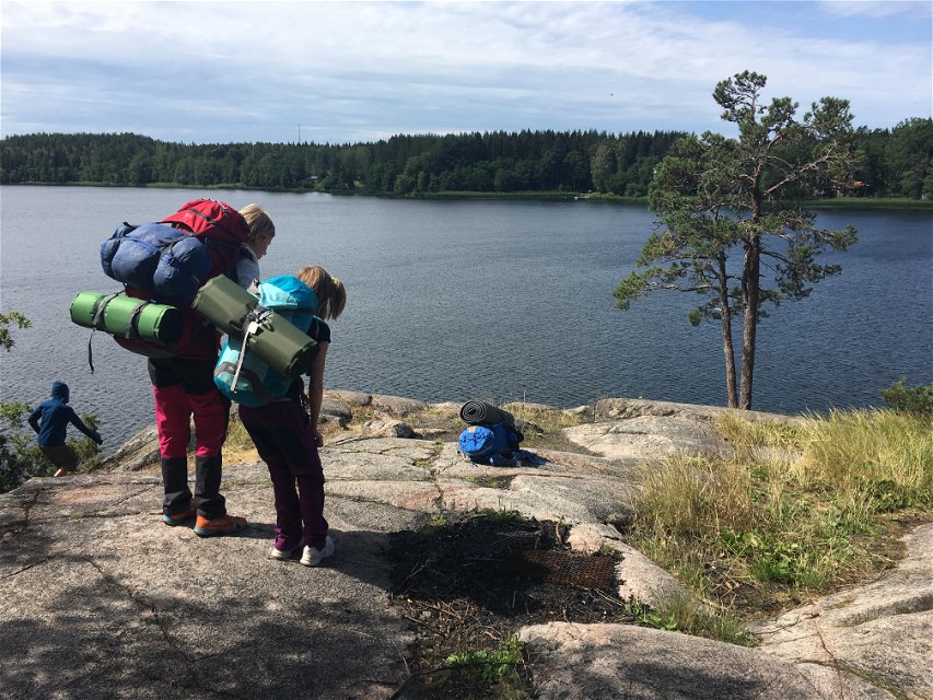
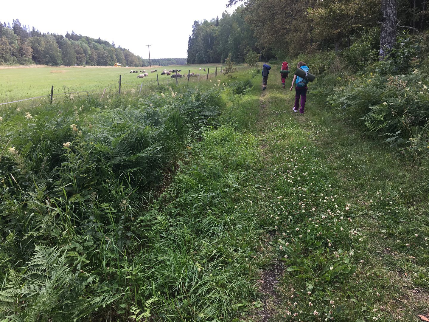
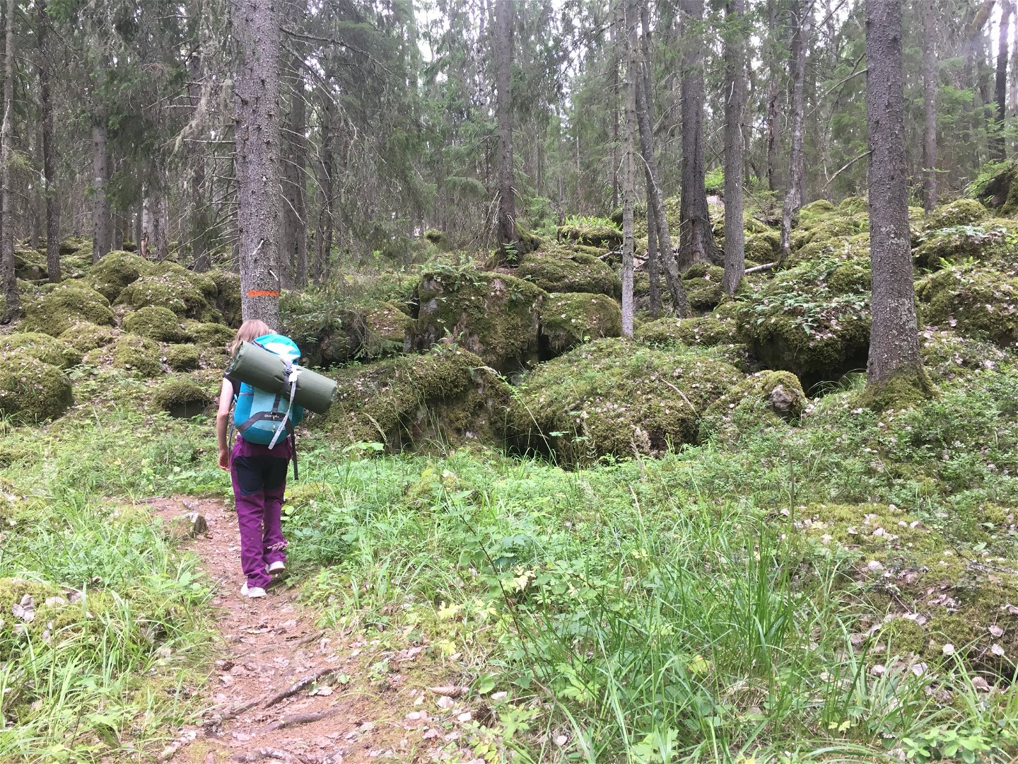
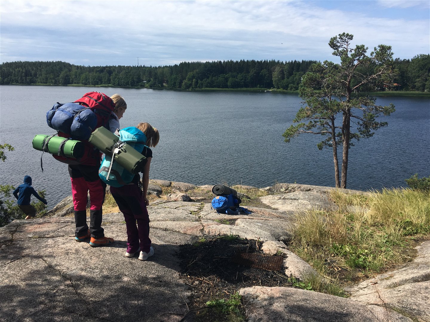
The hike takes you along a well-trodden path through varied forests and over sometimes rugged terrain. After about 3 kilometres, you’ll reach Lake Lötsjön, which the trail then follows all the way to Länna. Along the way, you’ll pass several spots with beautiful views of the water.
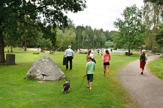
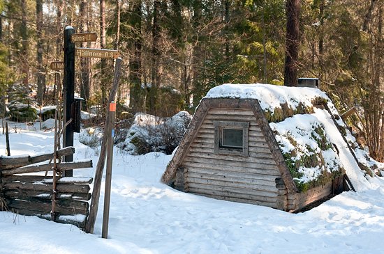
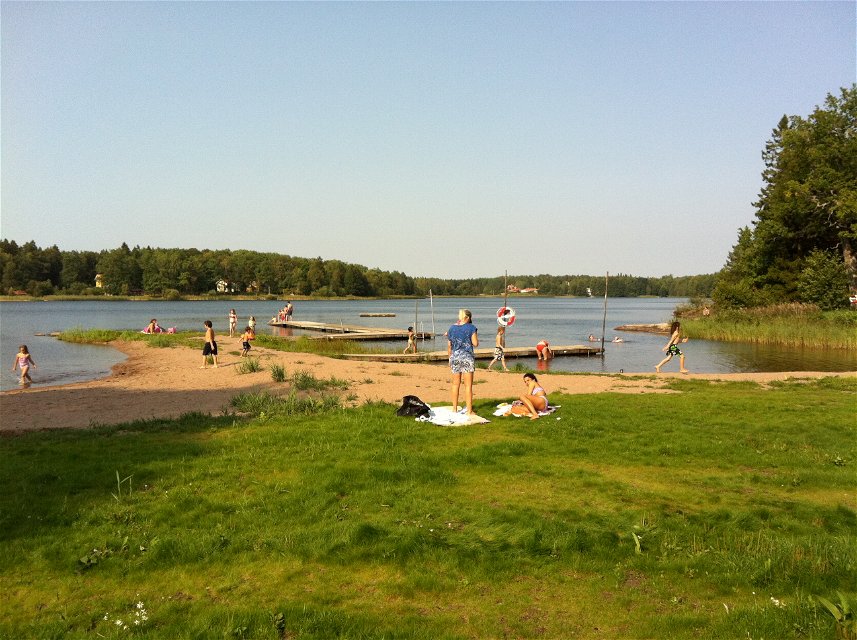
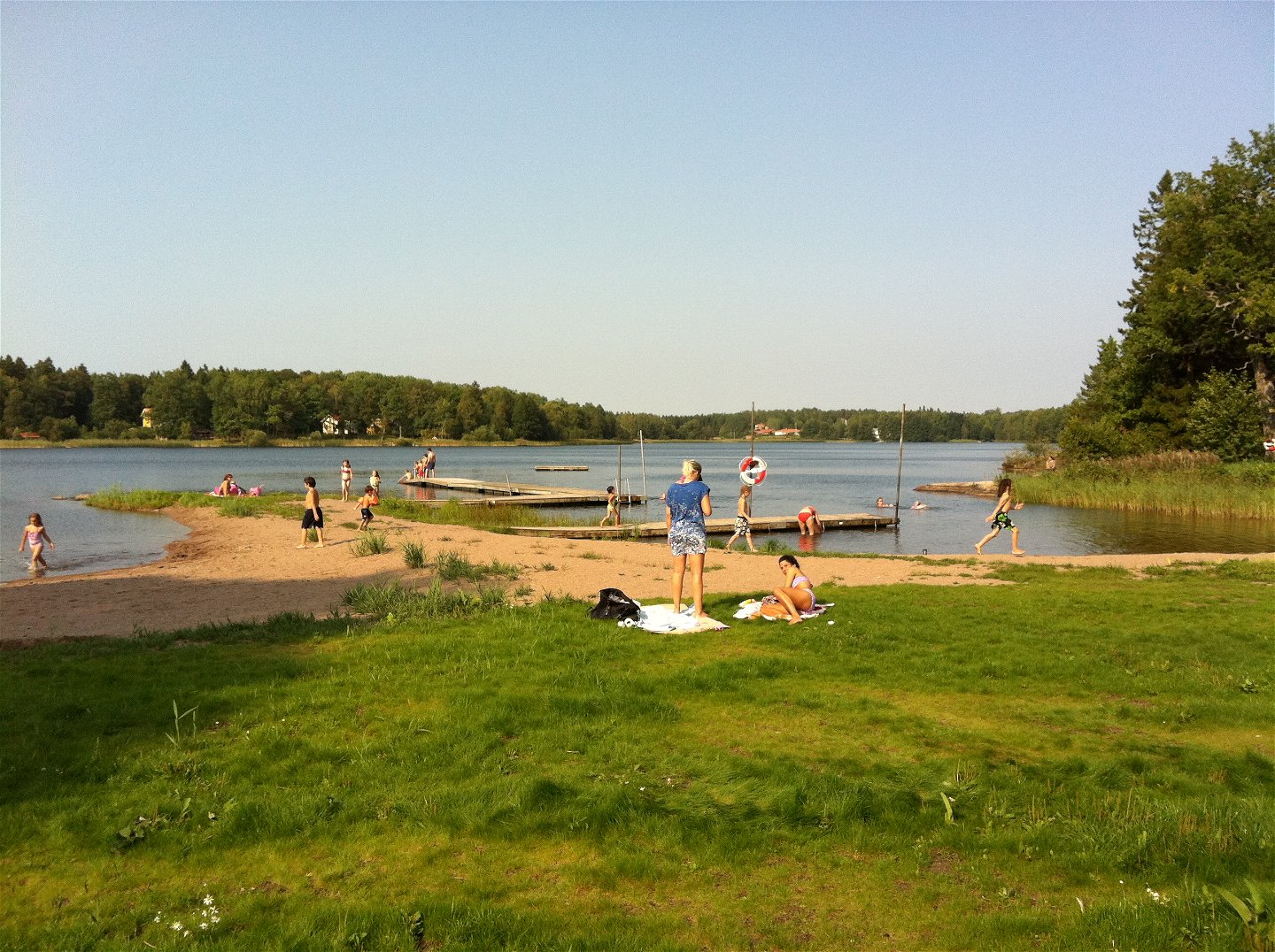
The charcoal burner’s hut just north of Fjällnora tells us of the lives of the charcoal burners of old. About halfway along Lake Lötsjön is a beach, Borgadalsbadet, surrounded by beautiful oak trees. There is also a 7th century hill fort, and the 2 kilometres long Borgadal Walk (see 3:1) starts by the beach.
There are also other paths and walks of various lengths around Fjällnora. There is a kiosk, a petrol station and a restaurant in Länna.
Difficulty level: Medium, large and small paths, sometimes rugged with roots.
Aktivitäten und Einrichtungen
-
Wandern
Zugänglichkeit
-
Nähe eines Parkplatzes
Oberfläche
Medium, large and small paths, sometimes rugged with roots.
Parking
Parkering finns både vid Fjällnora och vid etappens slut i Länna.
Kommunikation
There is no bus stop at the start, but in the summer you can get to Fjällnora on the Lennakatten museum train, and the connecting vintage bus. Read more: https://www.lennakatten.se/en/
Nearest bus stop at the end: Kopphagen, Länna
Anleitung
Start at Fjällnora, Uppsala.
End at Länna, Almungevägen 113.
Kontakt
E-Mail-Adresse
Upplandsstiftelsen
Logotyp der Organisation

Bitte beachten Sie, dass einige dieser Texte automatisch übersetzt worden sind.
Fragen & Antworten
Stellen Sie eine Frage an andere Naturkartan-Nutzer.

