-
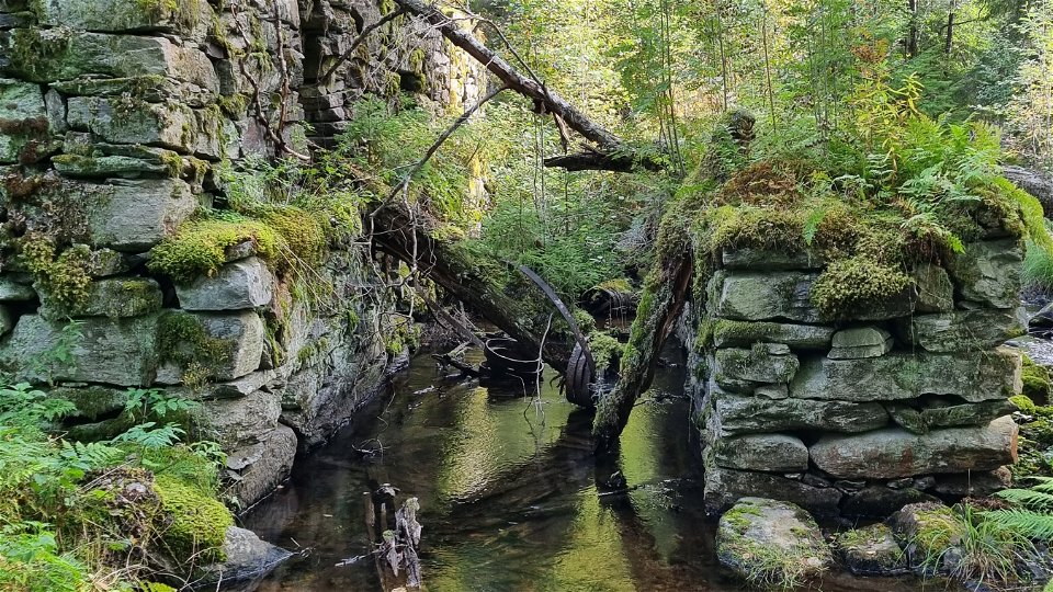
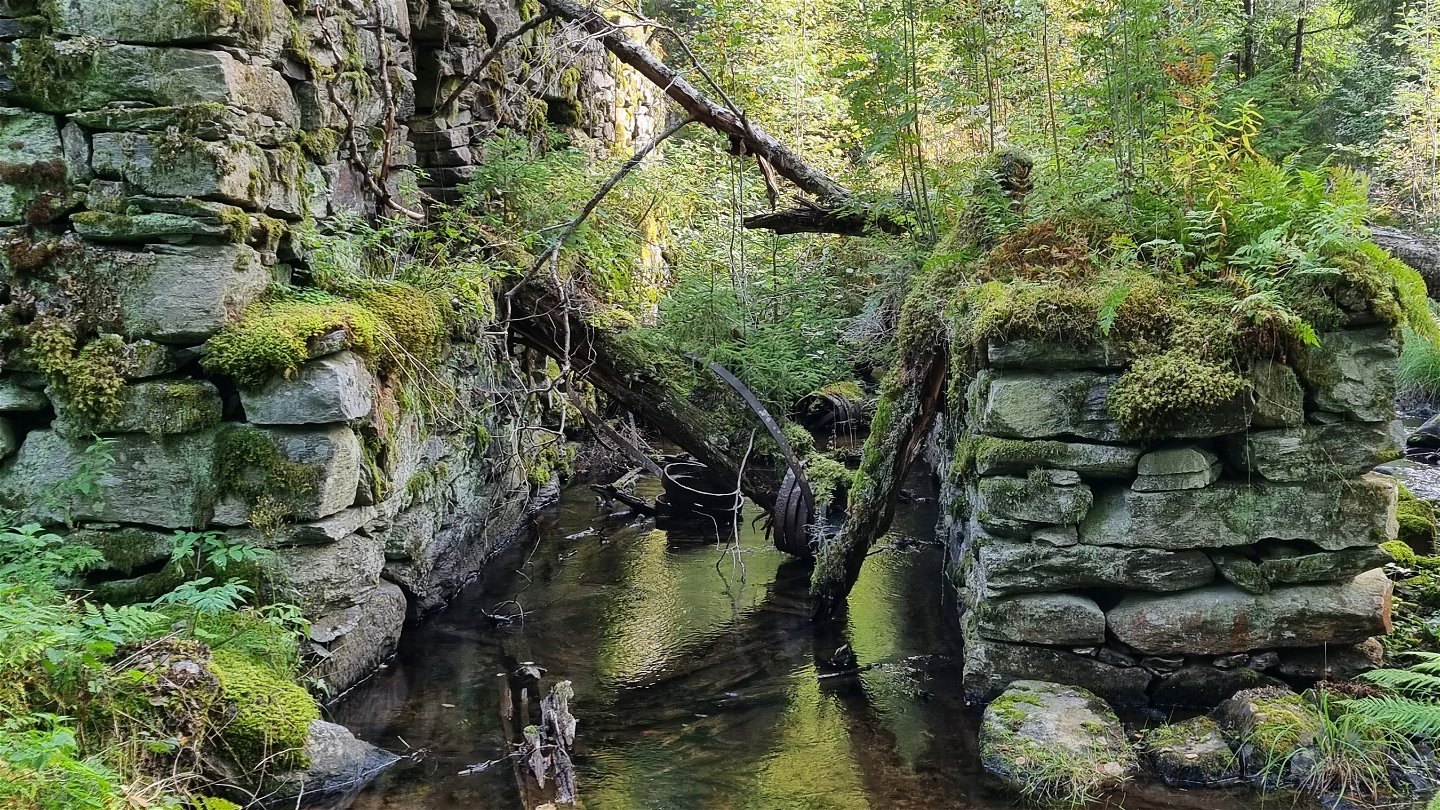
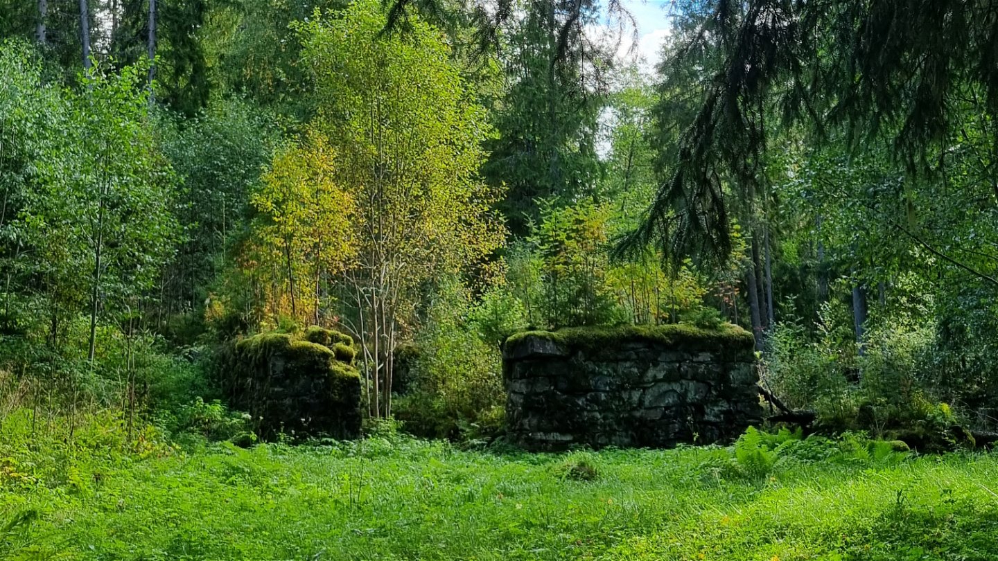
Ruinlämning vid Övre Bruket. -

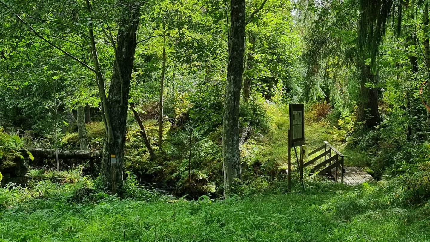
Gångbro mot söder vid Övre Bruket. -
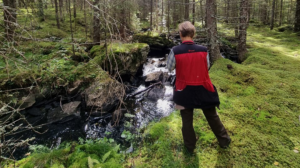
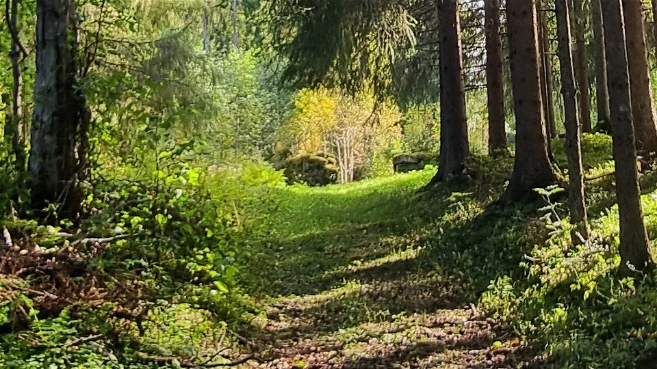
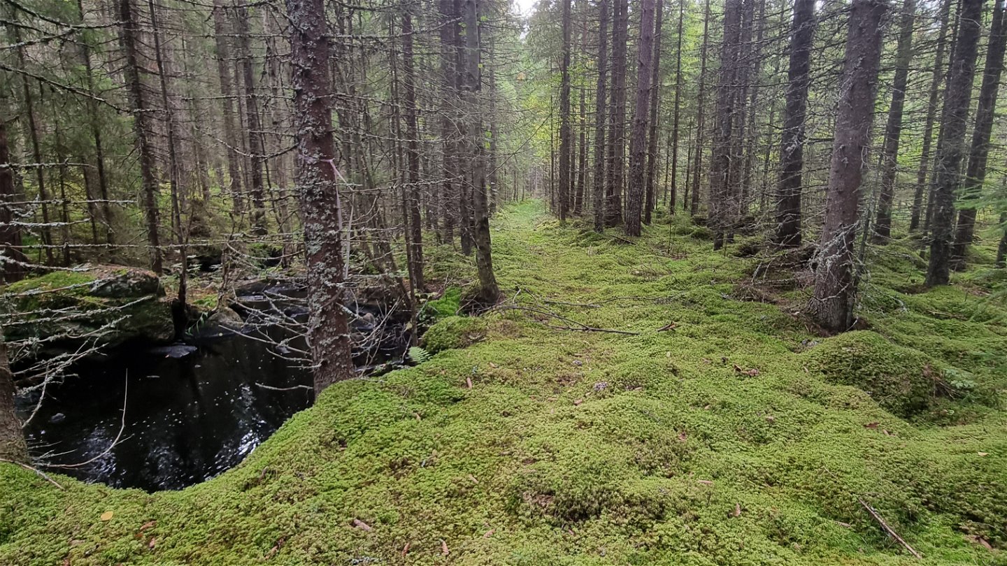
Mörttjärnsbäcken -

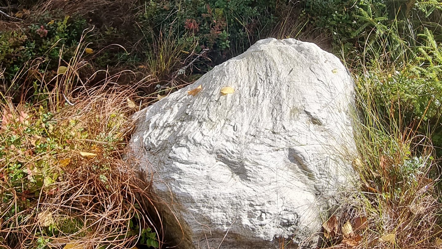
Sten intill leden vid myren, söder om dammen vid Övre Bruket. -

Ruinlämning vid Övre Bruket. -
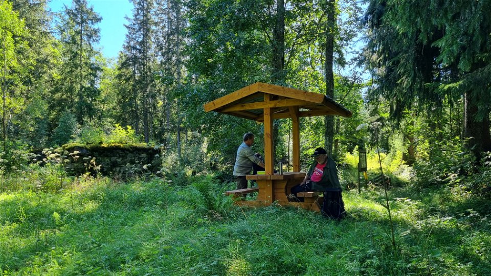
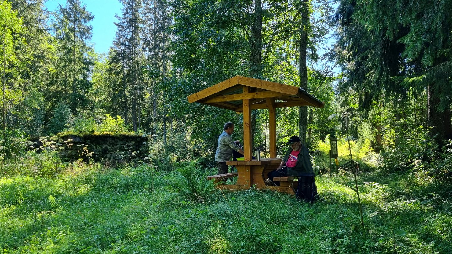
Bänkbord vid Övre Bruket. -
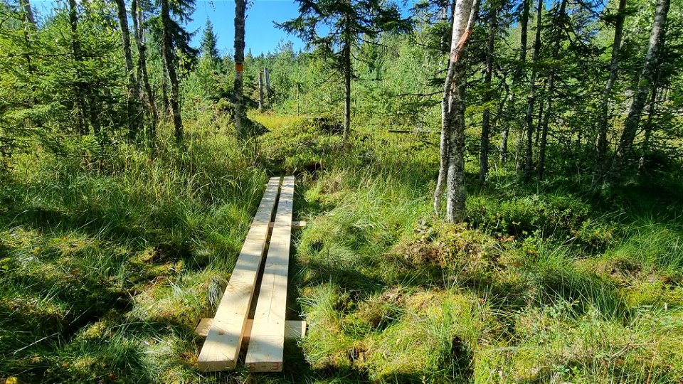
En av tre spångar över myren söder om dammen vid Övre Bruket. -

Leden längs med Mörttjärnsbäcken. -

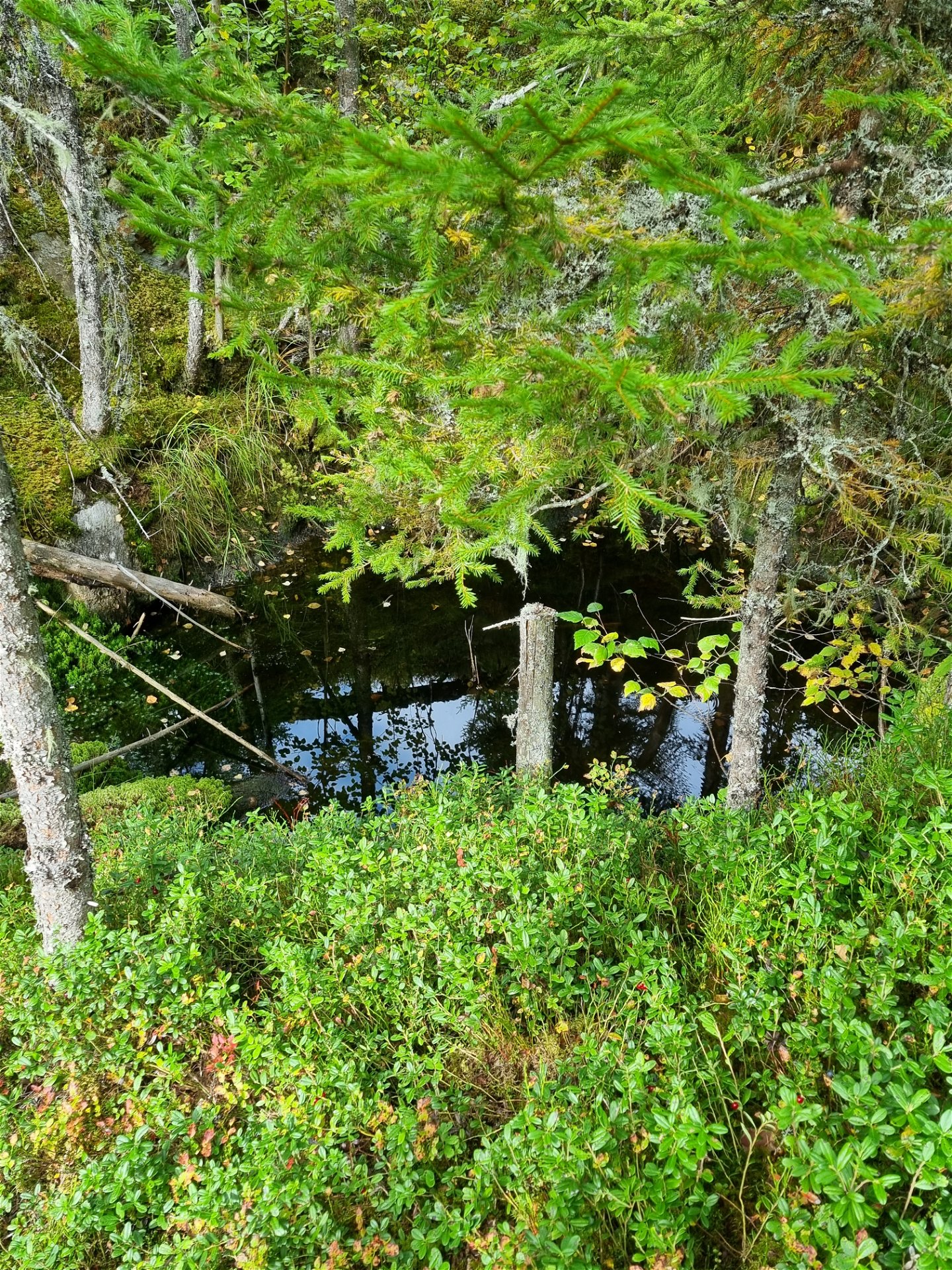
Det största av de tre gruvhålen vid Mörttjärnsgruvan. -


Bruksleden
Wandern
- Landkreis: Värmlands län
- 6537.95 km von Ihnen entfernt
Details zum Weg
- Länge 6.0 km
Aktionen
Beschreibung
Bruksleden is a quality proofed and certified HIKING VÄRMLAND trail of 6 km through beautiful nature and industrial history. It is possible to walk a circular trail in combination with Finnvägen.
The HIKING VÄRMLAND trail Bruksleden offers different stages without much altitude differences. The trail entry and parking area is at Treen's camp ground and the public beach of Lake Stor-Treen. The trail is marked with orange. The surface of all three stage options is partly logging roads and partly forest paths and some duck boards, often anti-slip net covered.
Bruksleden, south stage, Fredros - Gruvrundan 3,7 km
From the camp ground there is a connecting stage of about 1 km to the junction of Fredros. Here is one of Värmland's last floatation flumes and the south stage begins. You pass along the Bruksälven creek and after almost 2 km the trail splits and you go south towards Gruvrundan. (To the north you would arrive at Övre Bruket, Mörttjärnsbäcken and remains of the old mining pits Mörttjärnsgruvan.)
Bruksleden, north stage, Gruvrundan - the Mitandersfors road 6 km
The north stage connects Gruvrundan in Sunne municipality, with Finnvägen in Fredros, Arvika municipality. Parking space at Gruvrundan. In both regions the iron and copper mining have had great importance in 17 ͭ ͪ to the 19 ͭ ͪcenturies. At Övre Bruket there are some 15 remains of ironworks, a mill and housing. A small, shallow bathing cove lies around 200 meters from Övre Bruket at Lake Mången. It is a little off the trail, and has no designated area to sit down, but nice for a quick dip. At Övre Bruket there is a roofed bench table. Near Övre Bruket you cross the asphalt road 885 where heavy vehicles occur. North of the road you walk along the brook Mörttjärnsbäcken, take off at the old mining pits Mörttjärnsgruvan and take the logging road up to the Mitandersfors road. This is where Bruksleden connects with Finnvägen.
Bruksleden, circular trail, about 8 km
The southern stretch can be combined with Finnvägen to form a circular route of about 8 km. Recommended starting point for this option is Gamla Fotbollsplanen, opposite of Övre Bruket. Finnvägen is also marked with orange.
Map and trail description are available for download under Documents. There is normally mobile coverage throughout the trail.
Service
-In summer there is drinking water for guests at Treen's camp ground.
-Dry toilets available at the public beach of Treen.
-Please bring your waste home, but if you can't there is a waste bin at the public beach of Treen.
-There is a bus stop at the junction of Fredros, the Old Store, see Värmlandstrafik - Värmlandstrafik for time tables.
Aktivitäten und Einrichtungen
-
Wandern
Fakten
Fredros is located in Gunnarskog, about 38 km north of Arvika. Near Bruksleden is Treens Camping with a well-organized swimming area. There are several hiking trails in the immediate area, such as Finnvägen, Norra Gunnarskogsleden (combined hiking and cycling trail), Kyrkstensleden and Sunnes trails around Ängen and Gruvrundan.
From Fredros it is about 6 km to Lafallhöjden's finntorp with a rich environment, meadows and rich flora.
Anleitung
Proposed starting point
For start at the northern end of Gruvrundan: 59.929065, 12.723606, parking for 2-3 cars For round loop, about 8 km: Old football field at Övre Bruket, Fredros WGS84: 59.943524, 12.685947, parking for 15-20 cars, just west of road 885
Kontakt
Adresse
Besöksadress:
Visit Arvika
Arvika Turistbyrå, Storgatan 22
671 31 Arvika
www.visitarvika.se
E-Mail-Adresse
Visit Arvika
Bitte beachten Sie, dass einige dieser Texte automatisch übersetzt worden sind.
Fragen & Antworten
Stellen Sie eine Frage an andere Naturkartan-Nutzer.
