-
-
-

-
-

-

-

Startplats vid parkering intill väg 175.


Storkasberget
Wandern
- Landkreis: Värmlands län
- 6719.8 km von Ihnen entfernt
Details zum Weg
- Länge 1.9 km
- Schwierigkeit Blau - mittel
Aktionen
Beschreibung
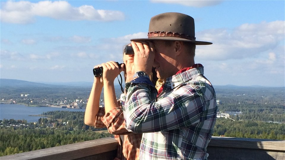
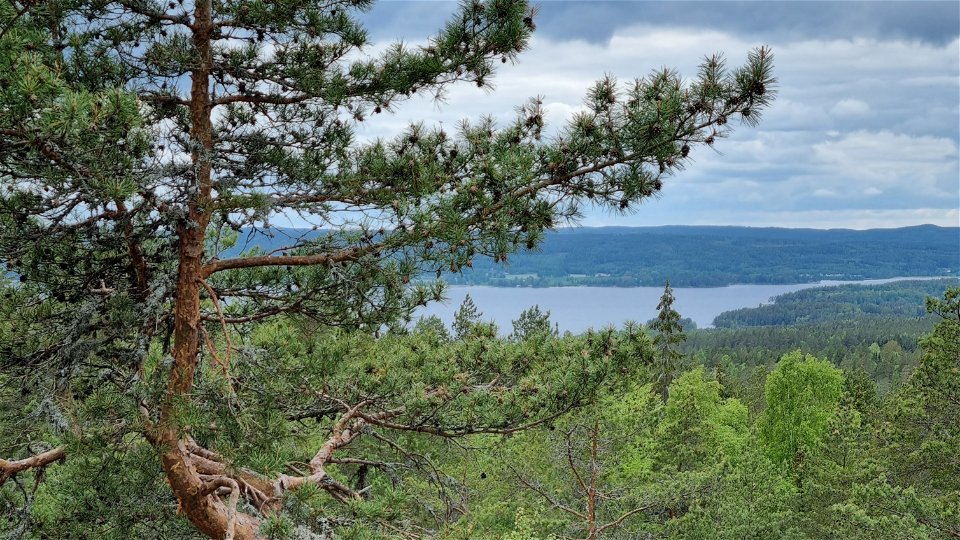
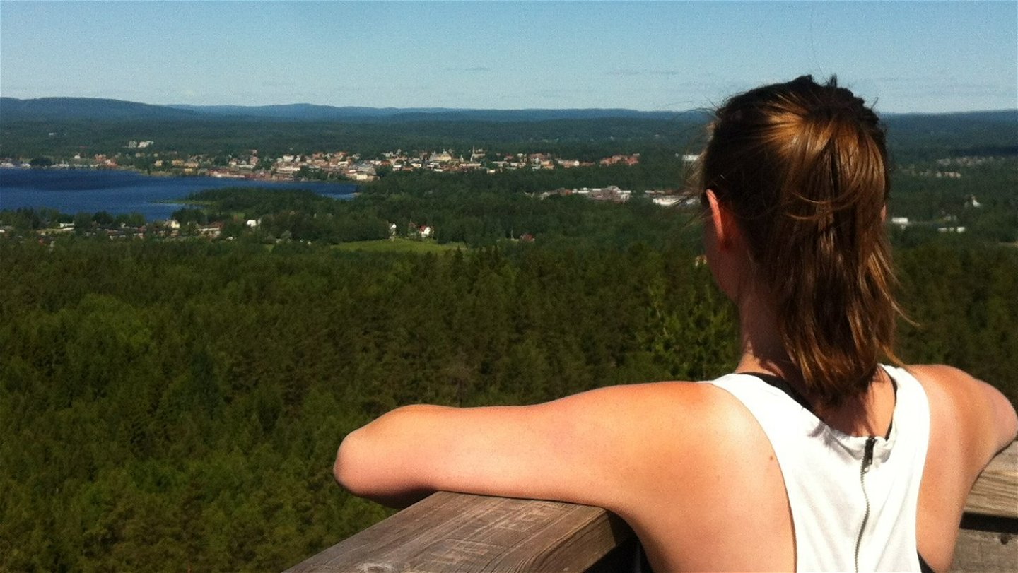
A hiking trail of 1,9 km from suggested starting point up to the top of Storkasberget. With its 244 meters above sea level it offers a grand view over Arvika and surroundings. Here is also a view tower. The climb to the top is gradual.
There is normally mobile coverage throughout the trail.
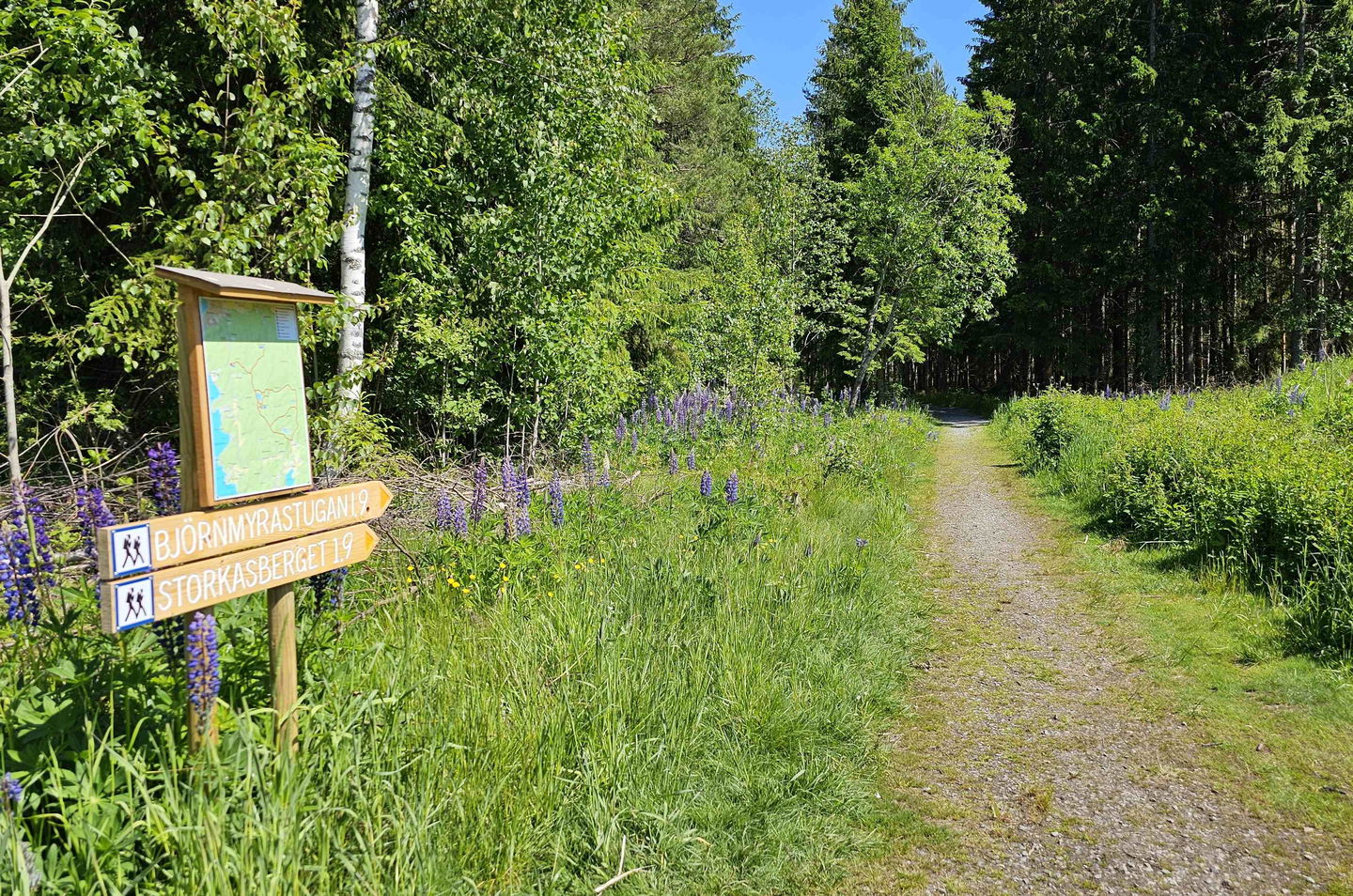
From the parking area the trail takes off on a with path of gravel. It takes off north on a rockier path after 800 meters and the climb to the top starts. You follow orange markings through mixed forest to the top.
Once up on 244 meters above sea level, you can access a view tower. It is situated on 183 meters above sea level. The tower is 13 meters tall and was restored and reopened in June 2022.
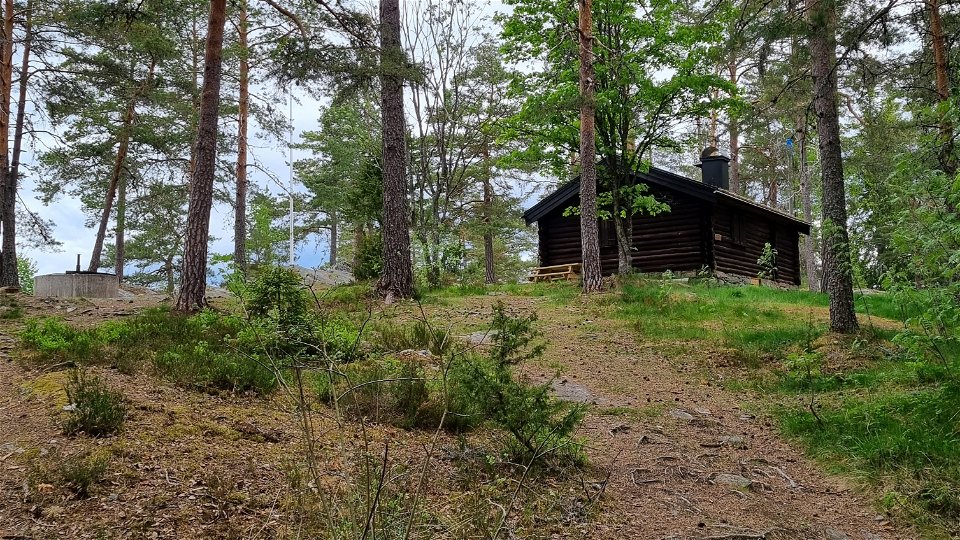
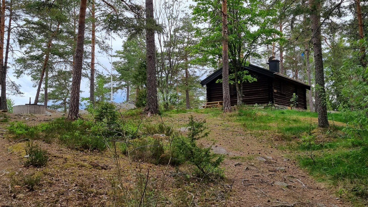
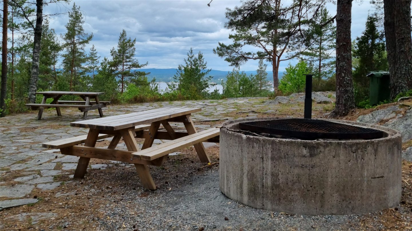
The timber cabin at the top is unfortunately not open anymore, but you can use the tables and the fire place at the rest area. Bring your own fire wood and make sure to check the current fire restrictions at Brandriskprognoser| SMHI.
Aktivitäten und Einrichtungen
-
Wandern
Fakten
Next to the parking lot and the beginning of the trail there is a large information board for tourism in Arvika municipality.
It is also possible to drive directly up to the viewpoint. From Arvika, take highway 175 towards Säffle. About 300 m after the roundabout, there are signs for Storkasberget to the left ("Utsiktstorn"). Follow the signs to the top of the mountain.
Oberfläche
Till en början grusad stig, som övergår till barrstig där man viker av mot toppen och stigningen börjar. Barrstigen är bitvis lite stenig men bred och tydlig.
Hügel
The ascent is gradual. You start at about 88 meters above sea level and climb to 244 meters above sea level during the last kilometer.
Parking
Spacious parking lot, road 175, latitude 59.625453, longitude 12.617917, opposite the entrance to Ingestrand on road 175, south of Arvika.
Kommunikation
Bus routes 103 Arvika-Stömne and 116 Arvika-Grums pass the stop "Ingestrand" about 2 km south of Arvika. For timetables see Värmlandstrafik (varmlandstrafik.se).
Alternatively, you can take the city bus, line 51 to Ingestrands camping and walk about 500 m up to road 175. For timetables see Värmlandstrafik (varmlandstrafik.se)
Anleitung
Parking
area, by road 175,
latitude 59.625453, longitude 12.617917,
opposite the exit for Ingestrand from road 175, south of Arvika.
The bus connection 103 Arvika-Stömne and 116 Arvika-Grums passes the stop ”Ingestrand”
about 2 km south of Arvika. For time tables visit Värmlandstrafik (varmlandstrafik.se).
Another option is to take the local city bus, connection 51 to Ingestrand camp
ground and walk the 500 meters up to road 175. For time tables visit Värmlandstrafik
(varmlandstrafik.se)
Kontakt
Adresse
Besöksadress:
Visit Arvika
Arvika Turistbyrå, Storgatan 22
671 31 Arvika
www.visitarvika.se
E-Mail-Adresse
Visit Arvika
Bitte beachten Sie, dass einige dieser Texte automatisch übersetzt worden sind.
Fragen & Antworten
Stellen Sie eine Frage an andere Naturkartan-Nutzer.
