
 Hiking
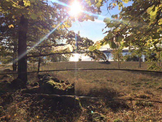
Trollegater - Öna, Östgötaleden
- Municipality: Kinda
- 6772.15 km away from you
- 15.7 km
- Difficulty: Blue
Best hiking trails in Östergötlands län
Naturkartan samlar de vandringslederna i Östergötlands län som är populärast bland våra användare.
Hiking
![[Linköping] Ullabergs and Mossens wetlands, loop walk](https://uploads.naturkartan-cdn.se/361ec20b883ef9304fd11c6d1913bb2e.jpg?width=640&height=480)
 Circular trail

Circular trail
Circular trail
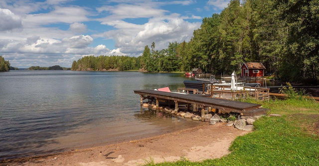
![|Translated by Google translation| [Soderkoping] Nartorp-Stegeborg](https://uploads.naturkartan-cdn.se/0bf604f49511485fd77a8bd0caac6e95.jpg?width=640&height=480)
Hiking


Hiking
 Lighted trails
 Walking
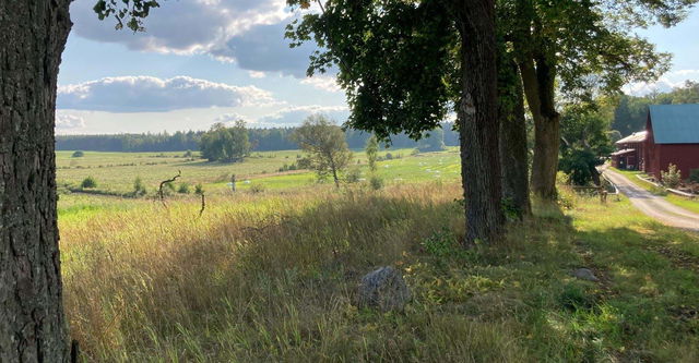
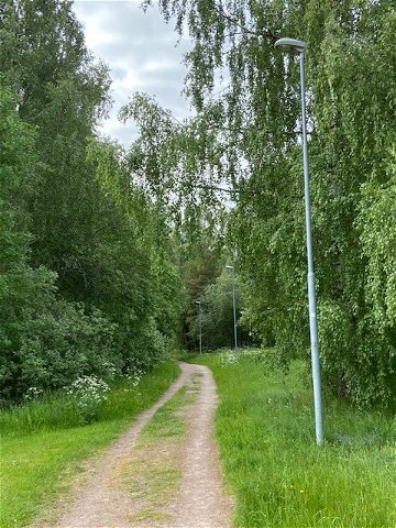
![|Translated by Google translation| [Ydre] Österbymo-Västra Lägern](https://uploads.naturkartan-cdn.se/05a37bfa1933a1a0df6f2e827932bc67.jpg?width=640&height=480)
Hiking
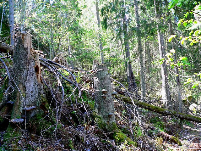
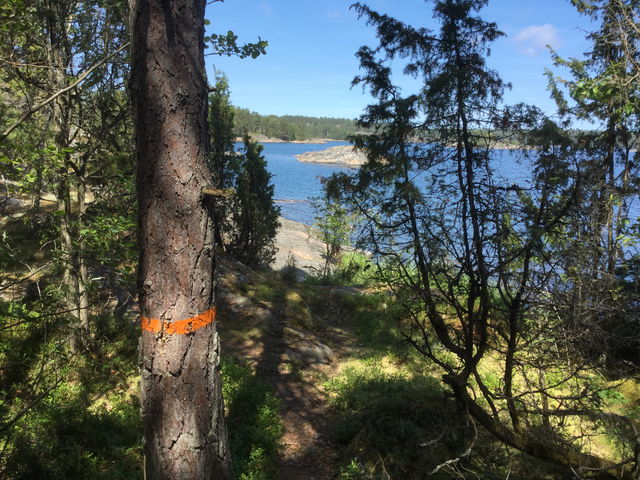
![|Translated by Google translation| [Ydre] Vassvikeberget-Ådala](https://uploads.naturkartan-cdn.se/61d990d9428e2b94fdfcad1eddaf6a00.jpg?width=640&height=480)
Hiking

Circular trail
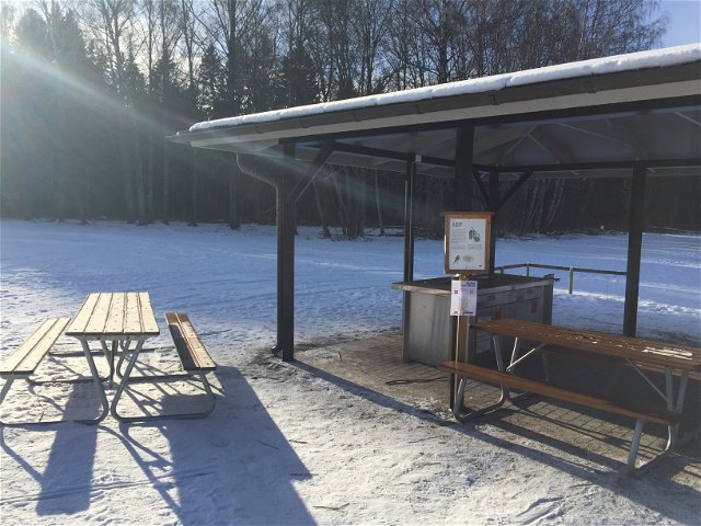
![[Linköping] Sätravallen - Bjärka Säby - EN](https://uploads.naturkartan-cdn.se/163bf61441d22f5e898478b204966f5b.jpg?width=640&height=480)
Hiking

 Pilgrim Trail
 Climbing
 Firesite
