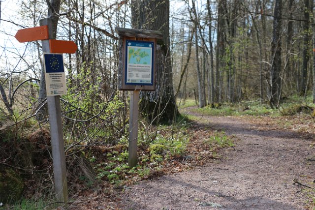
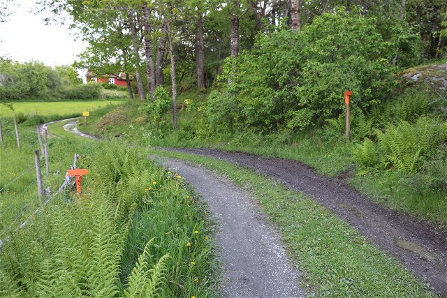
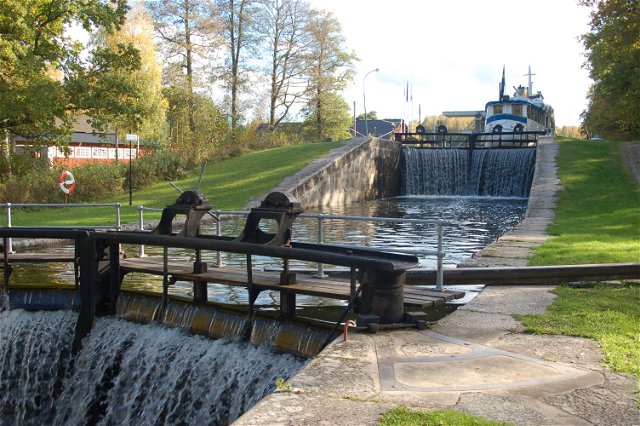
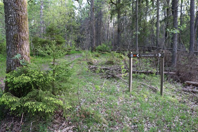
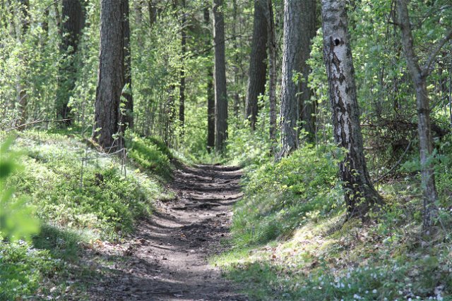
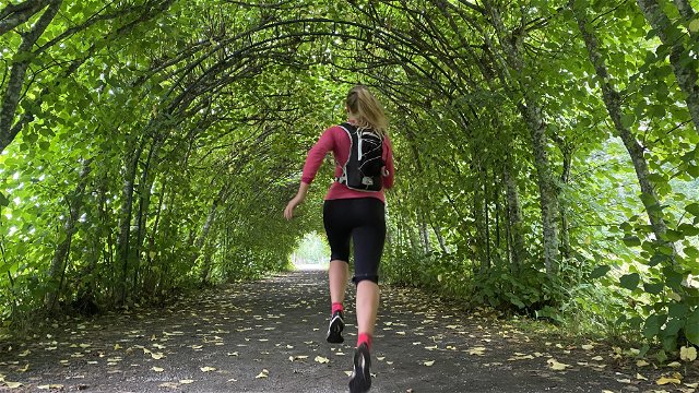
Best hiking trails in Västmanlands län
Naturkartan samlar de vandringslederna i Västmanlands län som är populärast bland våra användare.
Map
De bästa vandringslederna (217):
Fagersta — Landsbergstriangeln (the Landsberg Triangle)
- Municipality: Fagersta
- 6696.32 km away from you
- 16.0 km
- Difficulty: Red
Skinnskatteberg — the Ormdalslingan trail
- Municipality: Skinnskatteberg
- 6680.72 km away from you
- 5.8 km
- about 2 hours
12 Trummelsberg – Norra Morsjön, via Landsberget |Bruksleden
- Municipality: Fagersta
- 6694.05 km away from you
- 12.5 km
- Difficulty: Blue
Västerås — Trail loop around Ängsö island
- Municipality: Västerås
- 6764.49 km away from you
- 23.0 km
- about 8 hours
