Södra Vätterleden stage SV2 Bottnaryd - Norrahammar - Part of Smålandsleden
Hiking
- County: Jönköpings län
- 6711.58 km away from you
Trail details
- Length 24.0 km
Actions
Description
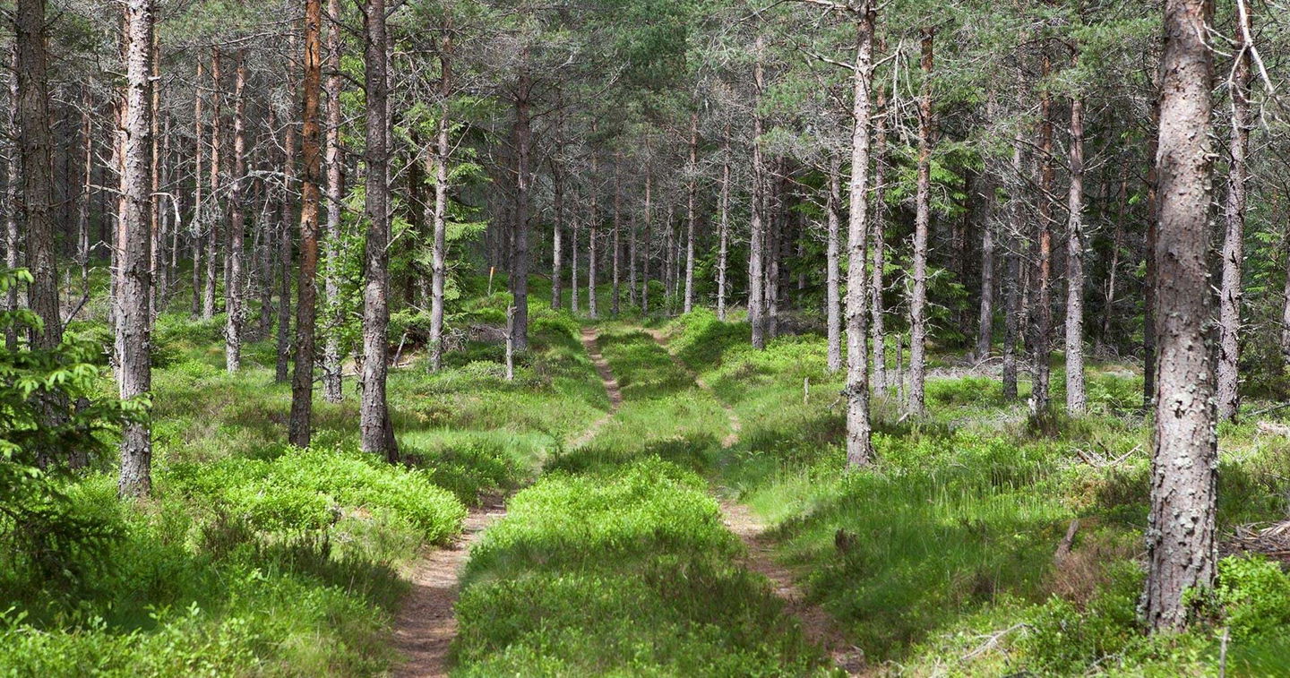
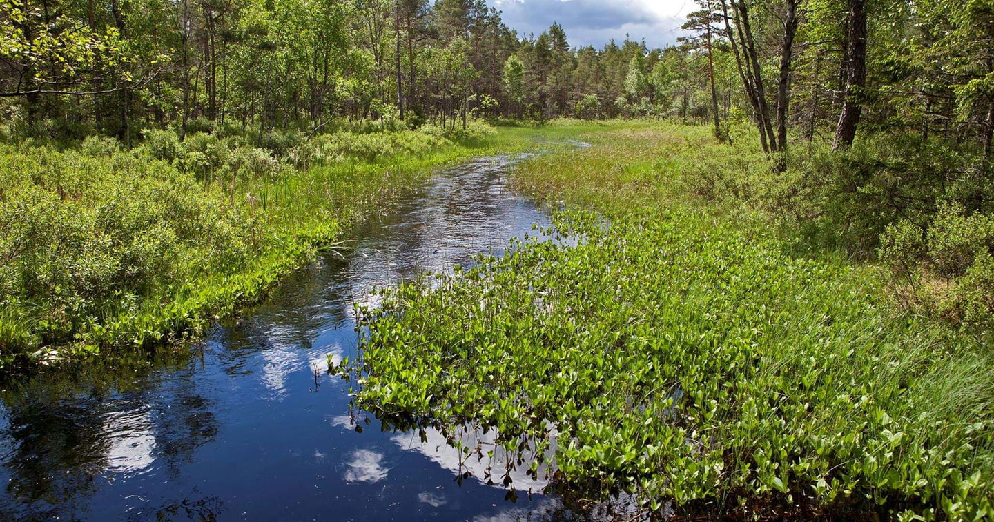
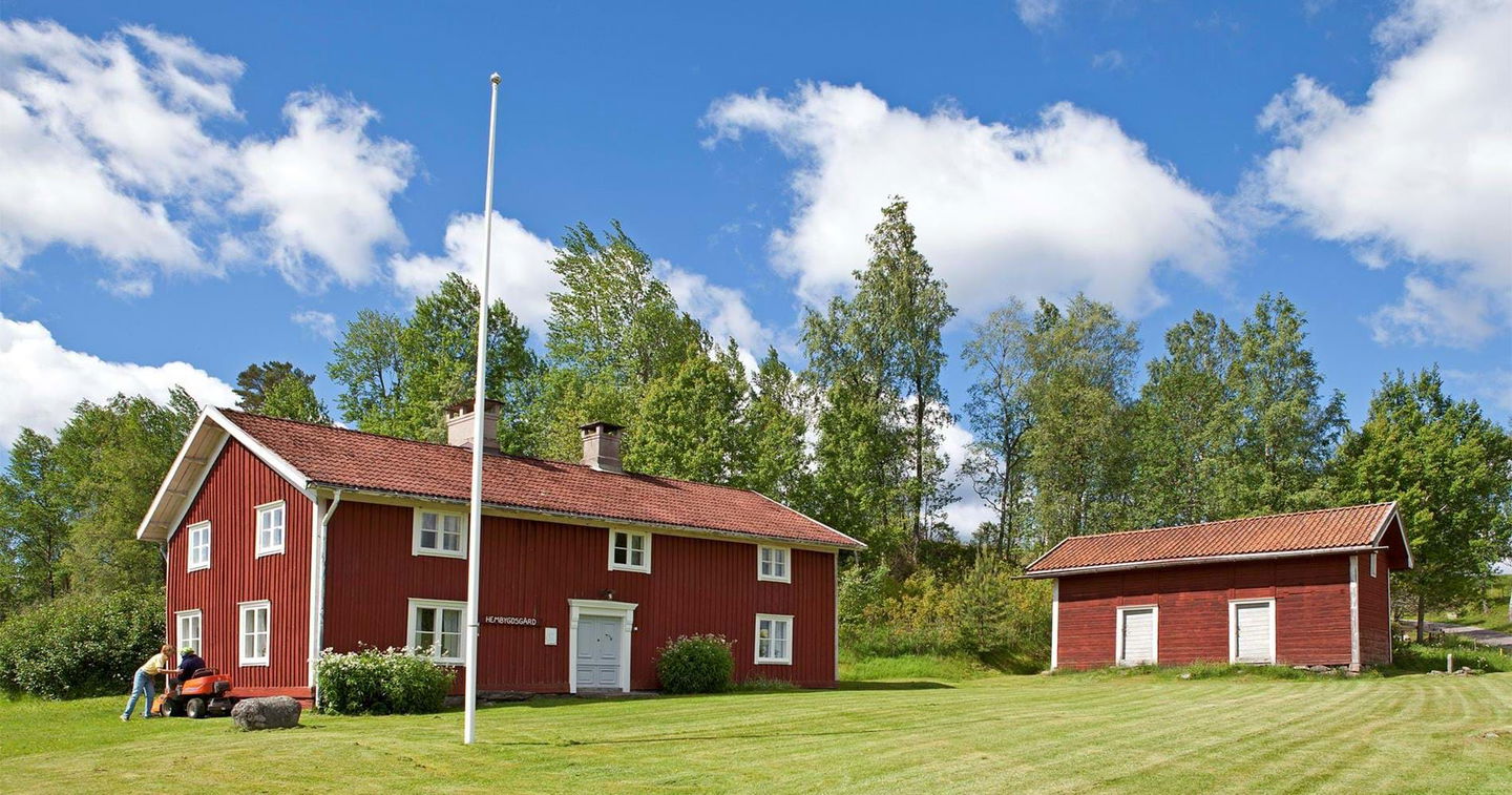
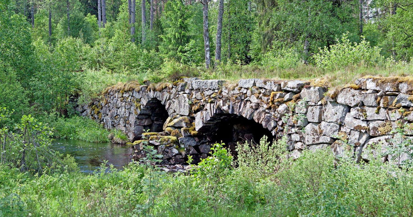
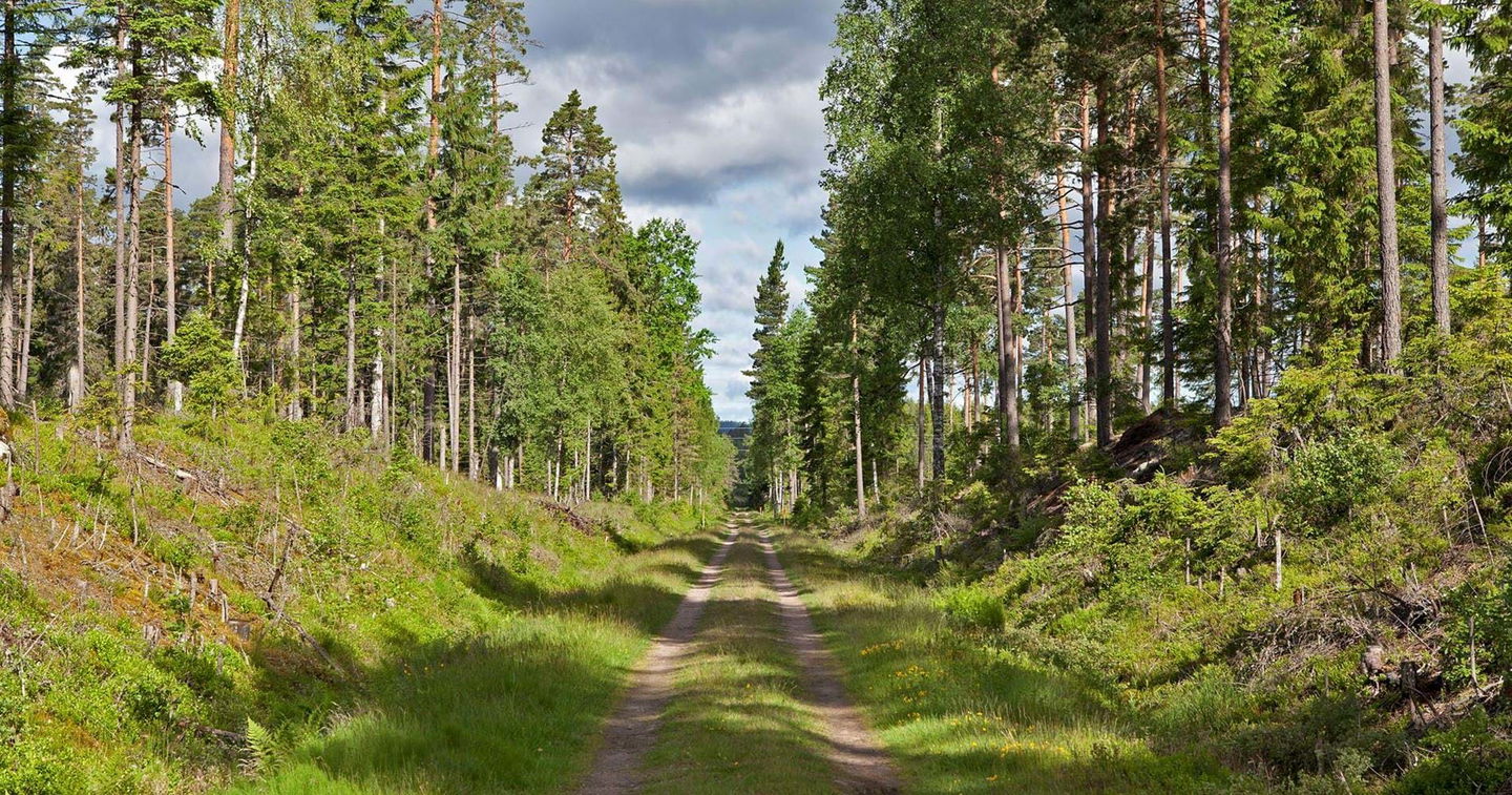
Stage SV2 measures about 27 km and follows ancient routes such as Nissastigen and Sillastigen and others. Most of the trail goes over a coniferous plateau and closer to Norrahammar you enter the northern part of Tabergs bergslag. The trail also passes old villages such as Västra Jära and Jäbo. At each edge of the plateau there is a longer climb, while the plateau is otherwise relatively easy to walk. The difficulty level is around medium.
The route works well as a longer full-day trip and can be combined with connecting routes. See logistics in starting points and places where the trail branches. The trail is marked in orange.
Activities And Facilities
-
Hiking
Contact
Email address
Organization logotype

Please be aware that some of these texts have been automatically translated.
Questions & Answers
Ask a question to other Naturkartan users.


