-
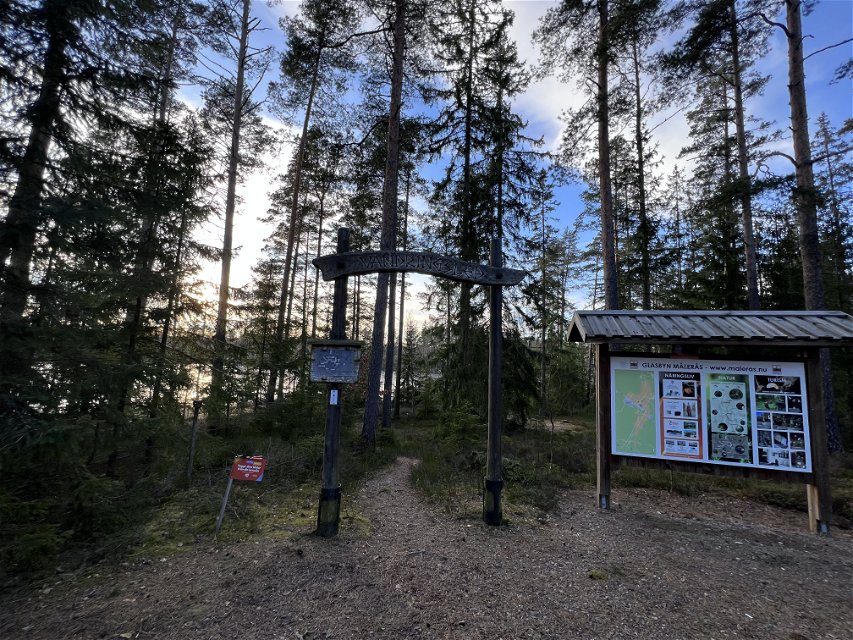
Leden startar vid Långegöls badplats -

-

-
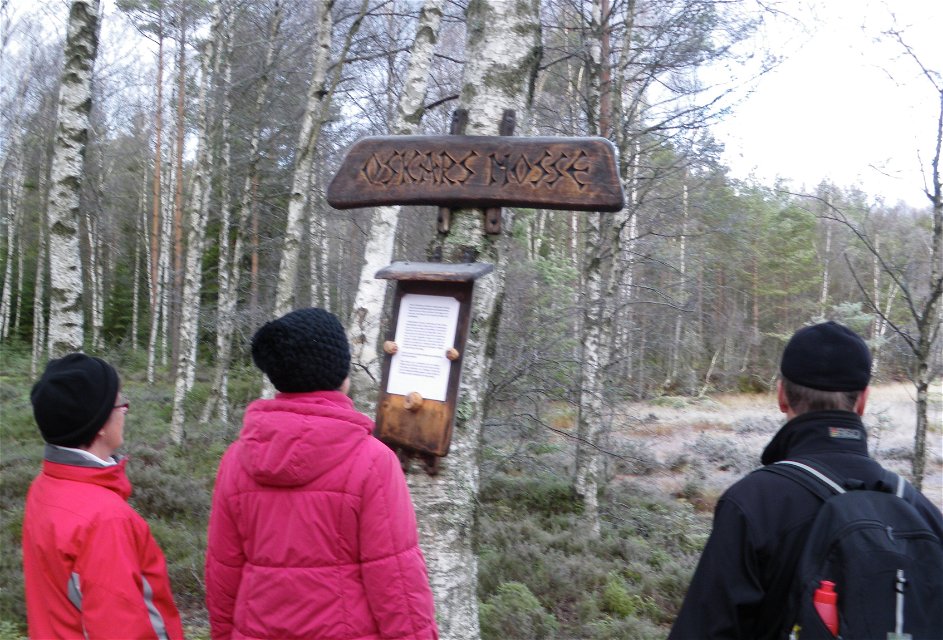
10 platser med information på tre språk -
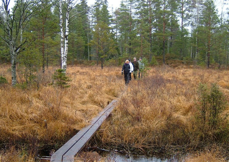
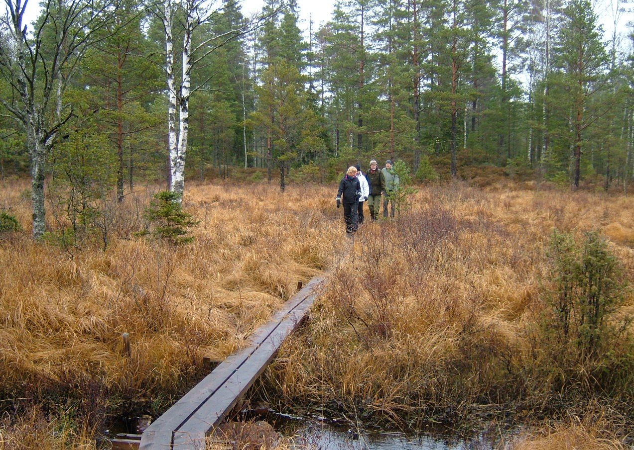
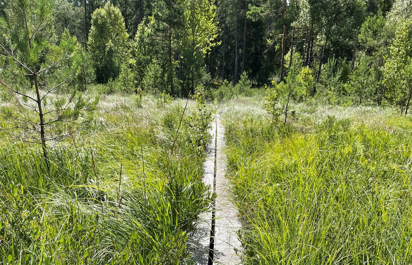
Spångar över våtmarkerna -

-

-


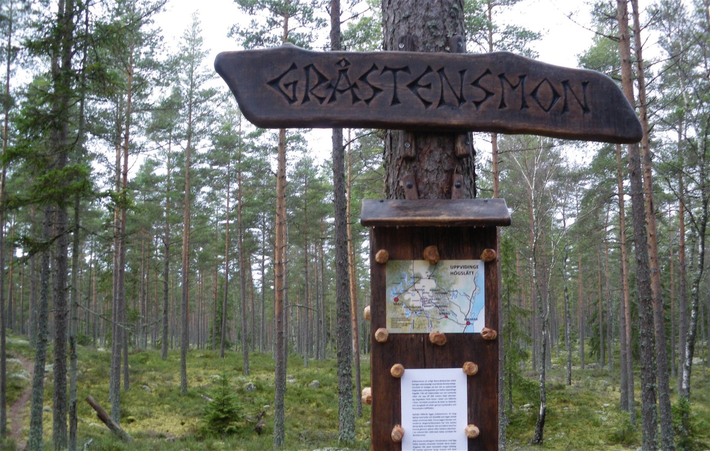

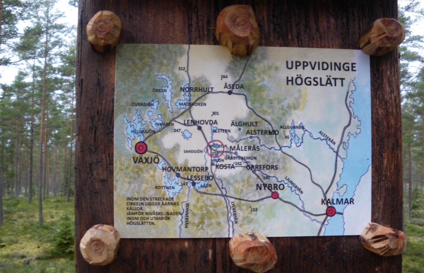

Gråstensmon
Hiking
- County: Kalmar län och Öland
- 6846.5 km away from you
Trail details
- Length 7.0 km
- Difficulty Blue - medium
Actions
Description
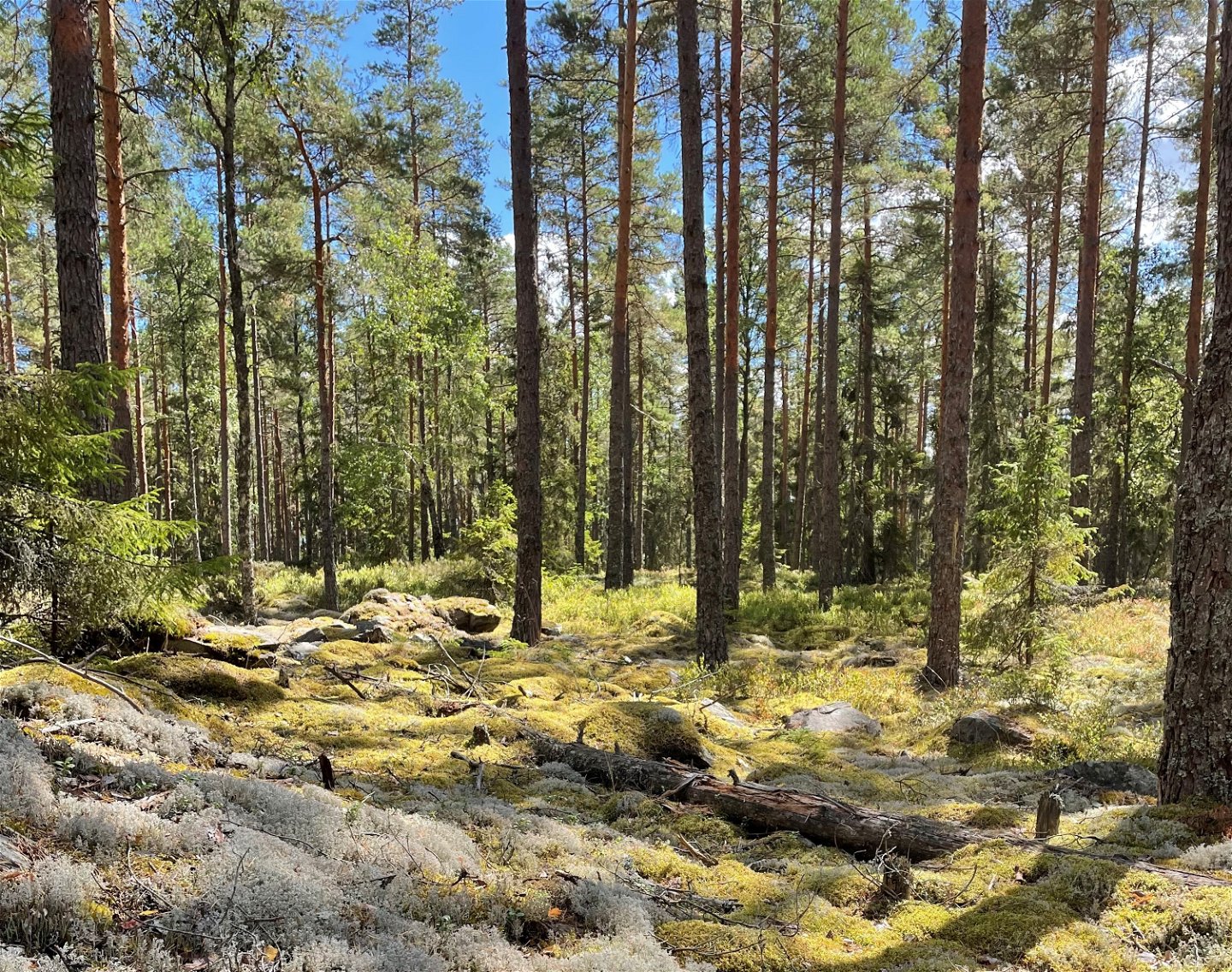
Gråstensmon has one of the most well-known examples of stagnation moraine in South Sweden. Here is one of the country’s most interesting geological formations as a result of the inland ice melting. The area also has one of the most valuable wetlands in Kalmar county, with large transition mires, quaking bogs and an interesting flora. At the end of June, the Early Marsh Orchid and other flowers are in full bloom.
People have lived and worked in Gråstensmon for ages. There are archeological remains of dwelling-houses and barns along the footpath. An old dam indicates that a mill once stood here.
The footpath has 10 stops with detailed information in Swedish, English and German
Activities And Facilities
-
Hiking
-
 Circular trail
Surface
Paths in forests and footpaths in wetlands
Parking
Parking is available at Långegöls bathing area.
Directions
Kör mot Långegöls badplats som ligger strax utanför Målerås utefter väg 31. Ta avfarten som är skyltat med symbolen för badplats.
Downloads
Contact
Email address
Mia Lundholm
Please be aware that some of these texts have been automatically translated.
Questions & Answers
Ask a question to other Naturkartan users.
