-

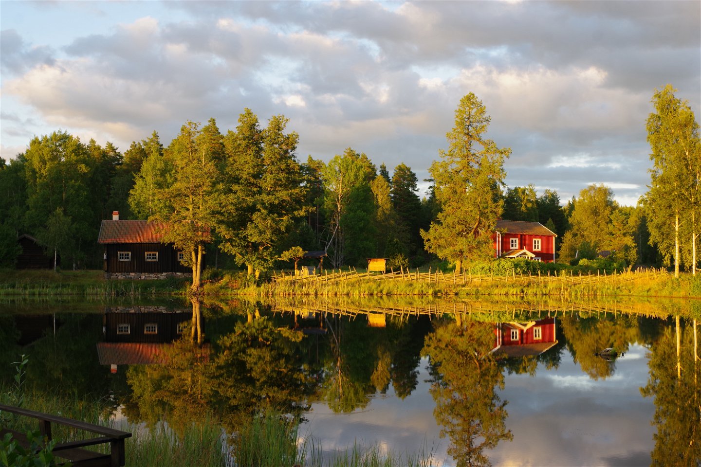
Svartshult -

Höneström -
-
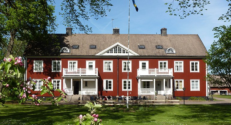
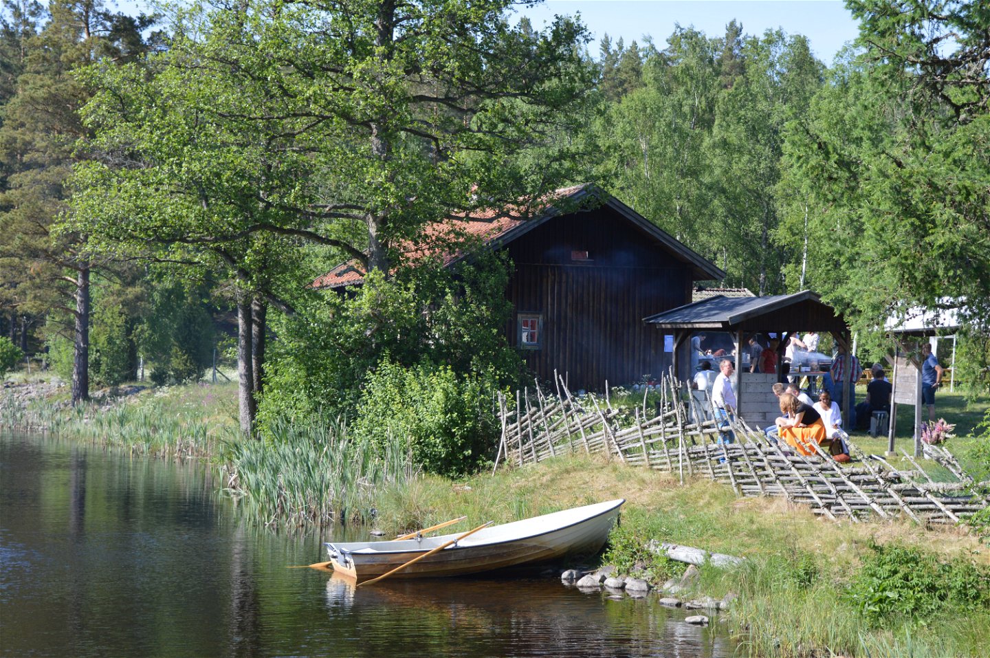
Vidinge Gård i Svartshult -
-
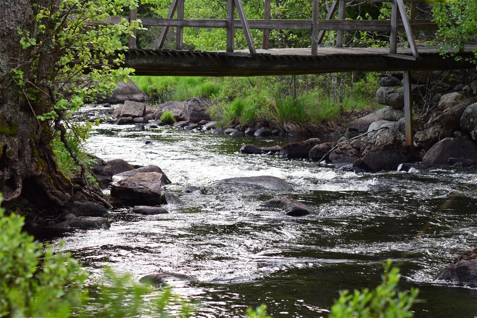
Strömfiske i Alsterån -

Höneström


Framtidsleden
Hiking
- County: Kronobergs län
- 6841.6 km away from you
Trail details
- Length 47.0 km
- Difficulty Green - simple
Actions
Description
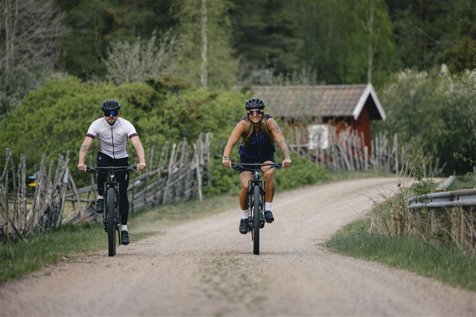
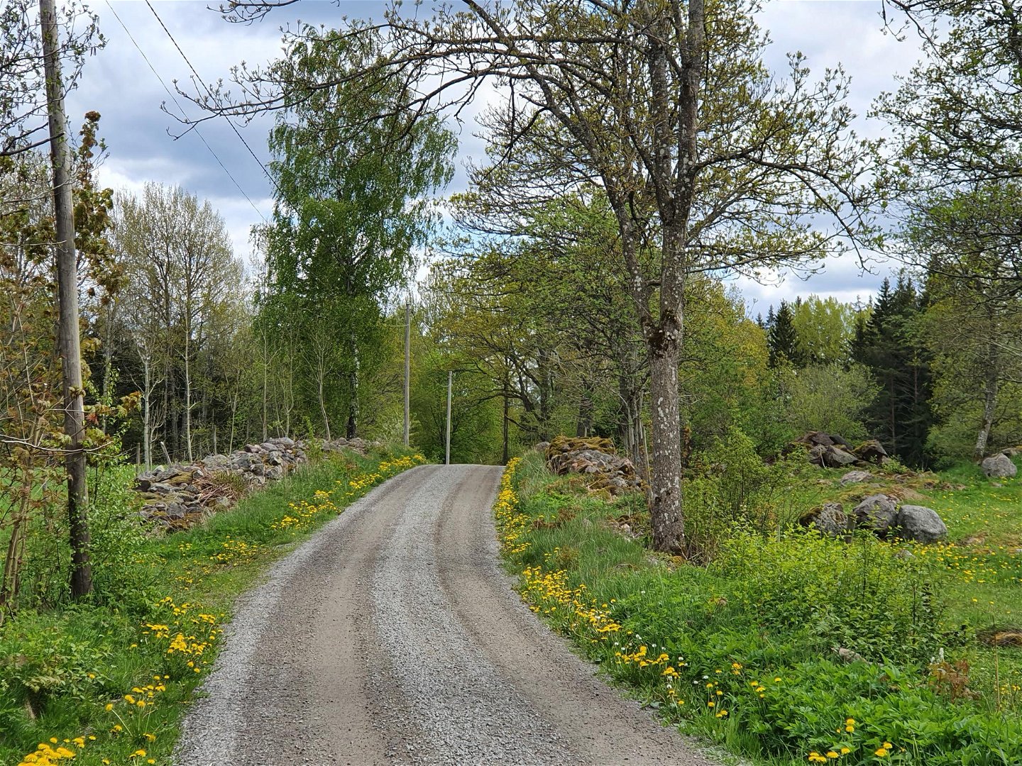
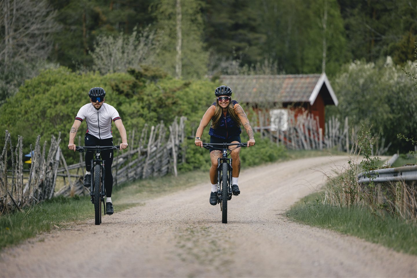
Framtidsleden (which means The Future hike) is a hike that guides you through three communities: Älghult, Alstermo and Målerås. The path is 38 km and you can choose to walk or take your bike. Framtidsleden shows you the beautiful everchanging landscapes of Småland. You'll pass by small red farmhouses, deep forests, and meadows full of flowers and insects.
In Älghult can you visit the museum of beekeeping, the Hembygdsgård and Älghult’s gravel meadows. The path then goes west and passes by Vidinge Gård and Södresjö with a bird watching tower.
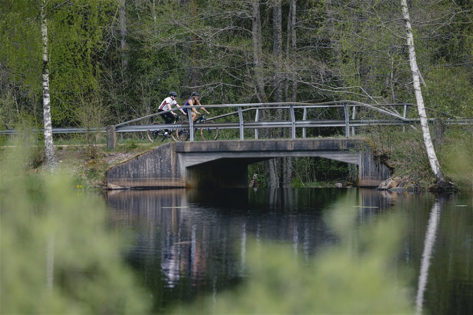
Eight kilometres southwest of Älghult can you find Höneströms blomsteräng (Flower meadow). Here can you make a little detour to the impressive ravine Uvaklöva. The path then continues from Höneströmsdammen east along the river Alsterån. After three kilometres you'll reach Åbron where you once again can make a deatour but now to area with a lot of butterflies, Höneskruvs kraftledningsgata. The path continues south towards Silvereke which is an area that are rich with mushrooms that only grows on meadows, like Hygrocybe ovina and Hygrocybe splendidissima.
The hike then goes to the glasswork town Målerås, Koppekull, Hetalåga before you reach the village of Gillbonderyd. Here can you visit the old plague cemetery that are surrounded by some of the oldest and biggest oaks in Uppvidinge. Now its time to go north again and head towards Alsterfors that used to be famous for its glasswork and Sweden smallest gas station. The path goes along the road to Alstermo but crosses Alsterån again before it reaches Alstermo. If you want to see more of Småland we recommend a detour to Hohult, just north of Alstermo, which is an area of national interests because it is very well-preserved cultural landscape. Next to Alsterån are there old aspen trees and rare insects and mushrooms. In the beautiful village of Södra Rås is there a lot of hepaticas and many old oaks. From Södra Rås is there six kilometres left to Älghult.
Activities And Facilities
-
 Biking
-
Hiking
-
 Circular trail
-
 Culture trail
Accessibility
-
 Near parking
-
 Near Public Transport
-
 Stroller accessible
Facts
The path is marked with signs and markings.
Surface
Bigger forest roads with gravel, roads
Parking
There is parking spaces in Älghult, Alstermo and Målerås.
Communications
It goes buses to Älghult and Alstermo from Växjö. If you want to start the hike in Målerås can you take a bus from Nybro, Alstermo och Åseda.
Directions
Start your hike in Älghult, Alstermo or Målerås
Contact
Email address
Kultur- och fritidsavdelningen i Uppvidinge kommun
Questions & Answers
Ask a question to other Naturkartan users.
