


Paddle in Ronnebyån
Paddling
- County: Kronobergs län
- 6842.22 km away from you
Trail details
- Length 39.1 km
- Difficulty Red - demanding
Actions
Description
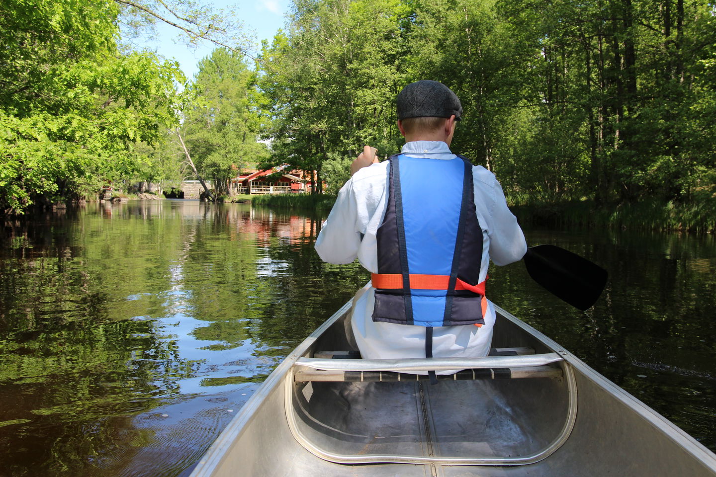
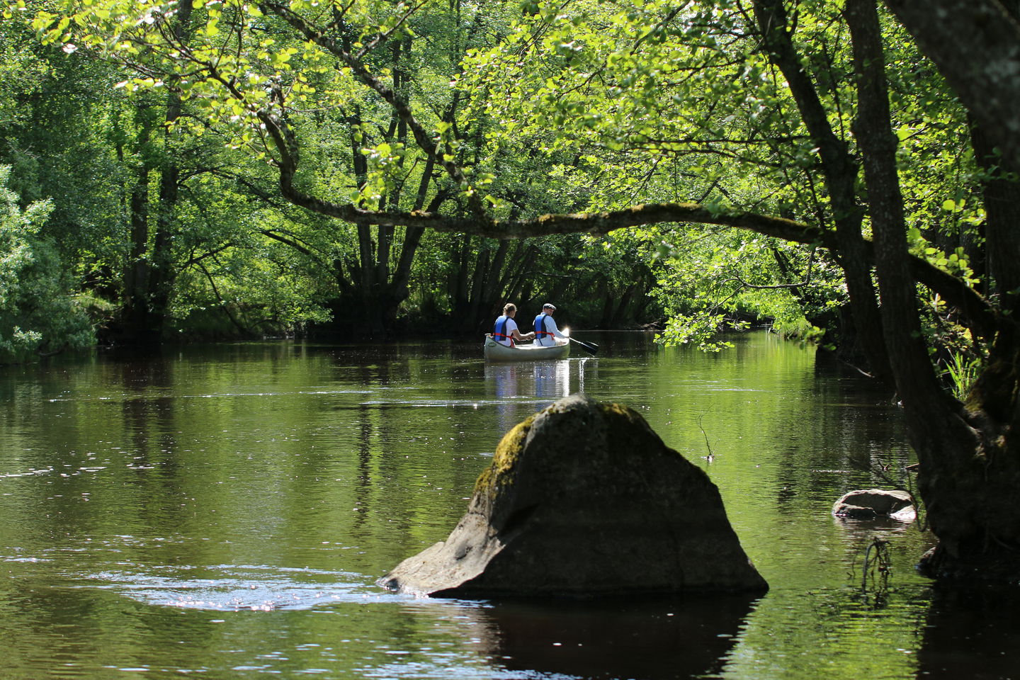
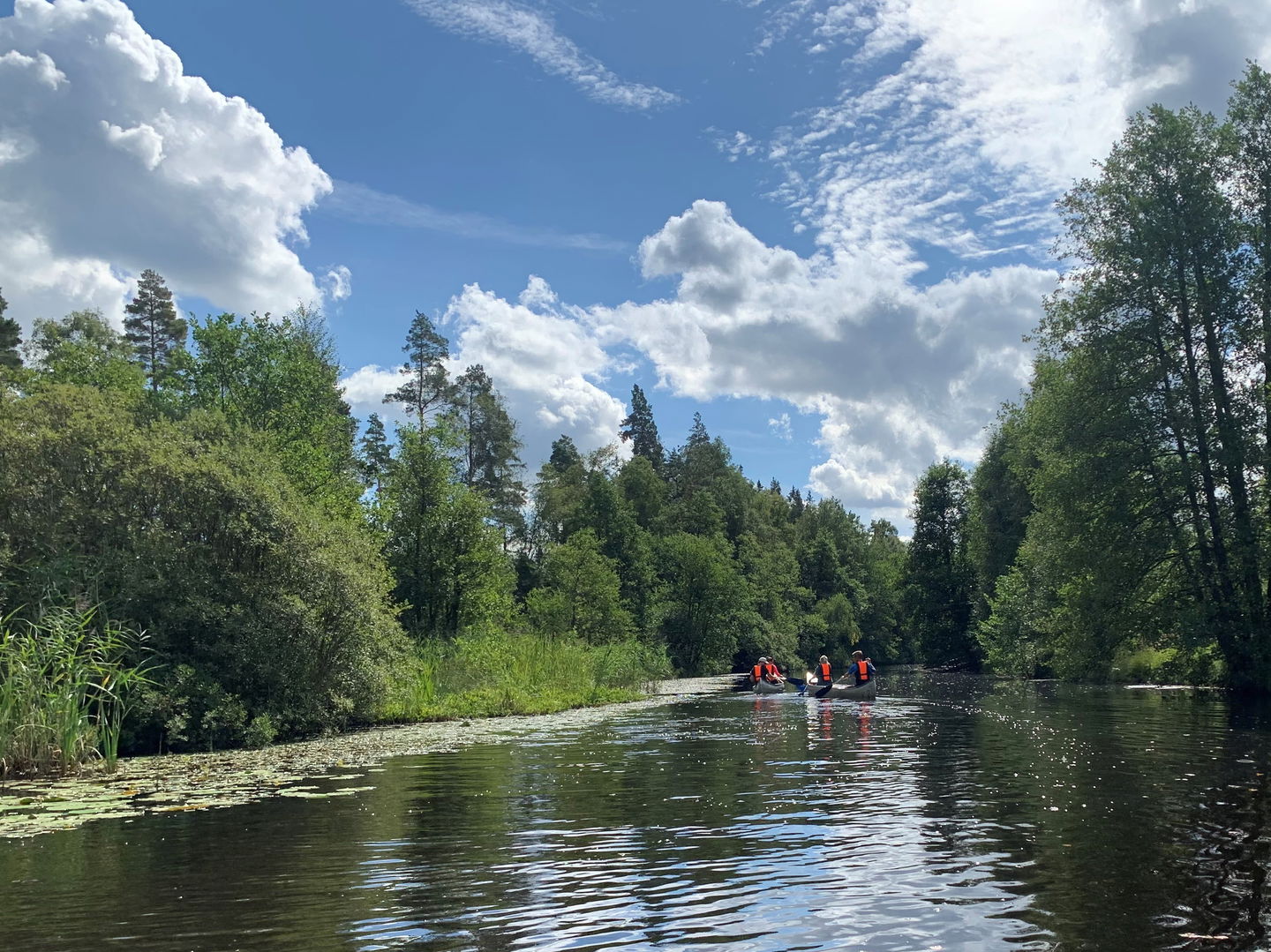
Ronnebyån is a beautiful and often peaceful waterway from Blekinge's coast in the south up to Hovmantorp. The river has always created life, trade and experiences where it flows. Ronnebyån and its surroundings offer many different kinds of experiences today, as it is a long distance. Here at Naturkartan, we want to focus on the river as an exciting distance for paddling.
You can paddle all the way from Hovmantorp in the north to Karlsnäsgården in Blekinge, but this map only includes the distance through Tingsryd municipality. In some places you need to carry, or even better roll the canoe on a canoe cart, past tricky passages or to get from one part of the river to another.
You can rent a canoe from various actors to have this experience. Tips and advice for your paddling adventure are best obtained via these:
Korrö: www.korro.se/kanot
Paddelkompaniet: www.paddelkompaniet.se
Activities And Facilities
-
Paddling
Surface
Blött.
Contact
Email address
Tingsryds Turistinformation
Questions & Answers
Ask a question to other Naturkartan users.
