 Hiking
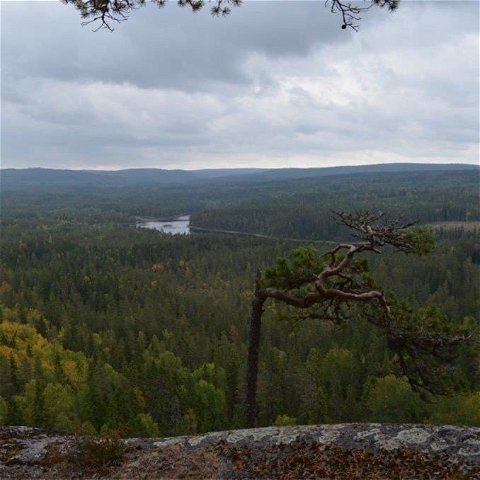
Södra Tansbodarna-Tansvägga-Bastberget runt
- Municipality: Ludvika
- 6627.65 km away from you
- 12.9 km
Best hiking trails in Ludvika
Naturkartan samlar de vandringslederna i Ludvika som är populärast bland våra användare.
Hiking
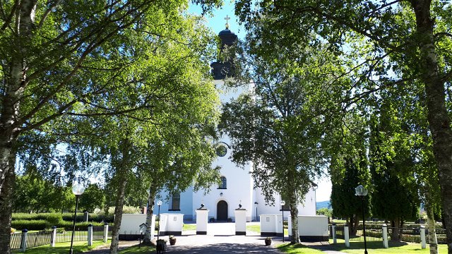
 Pilgrim Trail
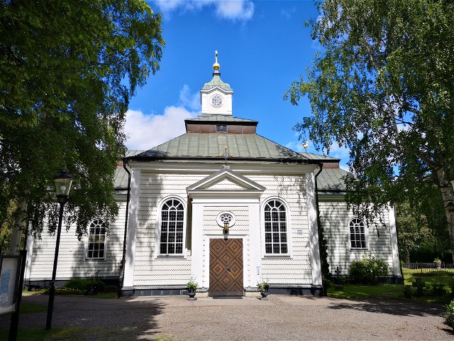
Pilgrim Trail


Hiking


 To do
To do
 Skiing
 Bathing
 Firesite
