 Hiking
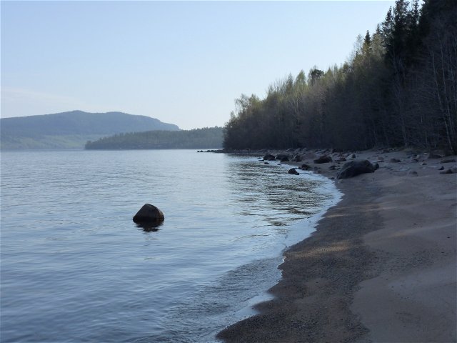
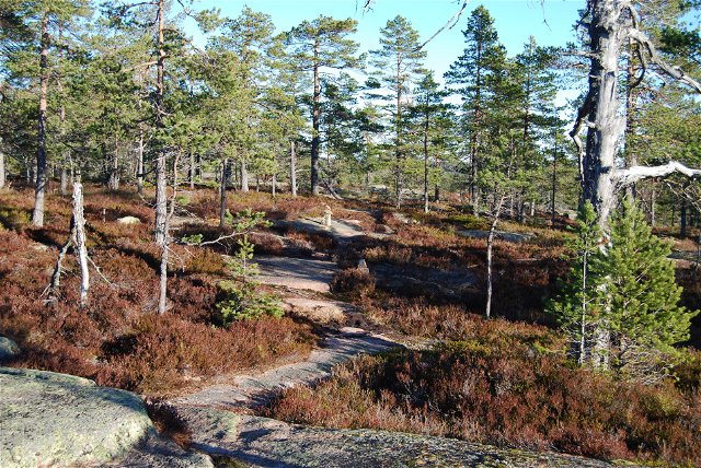
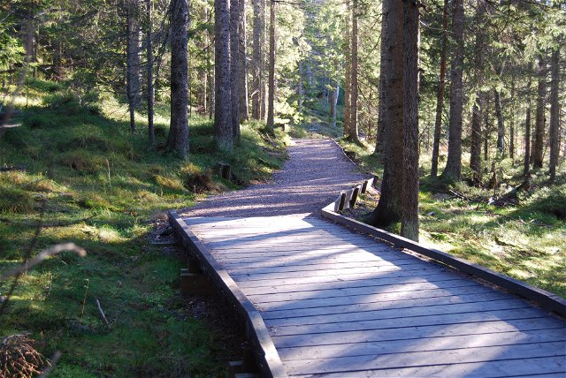
The coastal hiking path between Kälsviken och Salsviken
- Municipality: Örnsköldsvik
- 7180.96 km away from you
- 5.6 km
- Difficulty: Blue
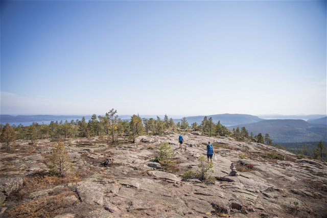
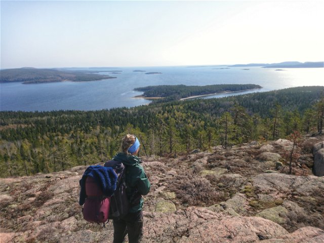
Best hiking trails in Örnsköldsvik
Naturkartan samlar de vandringslederna i Örnsköldsvik som är populärast bland våra användare.
Hiking
Hiking

Hiking
Hiking
Hiking
Hiking
Hiking
Hiking
Hiking
Hiking
