

-
-
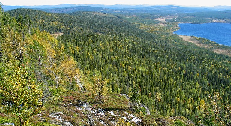
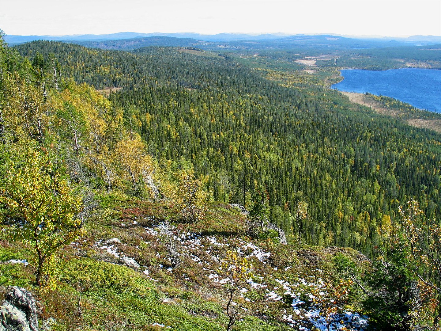
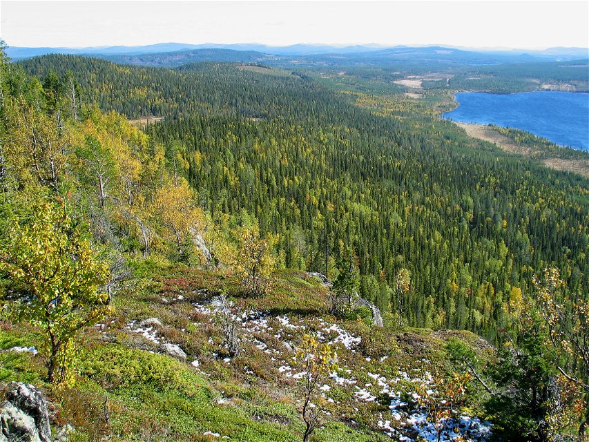
Utsikt från Harrejaureliden.
Photo: Länsstyrelsen Norrbotten

Harrejaureliden
Nature reserve
- County: Norrbottens län
- 6523.95 km away from you
Actions
Description
Harrejaureliden comprises a large mountain complex covered by virgin forest. The largest and highest mountain, Harrejaureliden, rises to 645 metres a s l. The mountain lies in the middle of the area and has a steep drop of 200 metres on the south side. From here you enjoy a magnificent view. The area is 9.8 square kilometres in size and in the southwest borders on Reivo.
Activities And Facilities
-
Nature reserve
Facts
Kommun: Arvidsjaur
Bildat år: 2009
Storlek: 9,8 kvadratkilometer
Förvaltare: Länsstyrelsen
Skyddsform: Naturreservat
Communications
The nature reserve lies about 10 kilometres southwest of Moskosel. Follow road 45 which runs between Moskosel and Arvidsjaur. Turn off towards Tjappsåive. Northwest of the village there are logging roads that lead to the reserve.
Directions
Naturreservatet ligger cirka 10 kilometer sydväst om Moskosel. Följ väg 45 som leder mellan Moskosel och Arvidsjaur. Sväng av mot Tjappsåive, nordväst om byn finns skogsbilvägar som leder till reservatet.
Regulations
Alla föreskrifter finns i reservatsbeslutet. Det är tillåtet att:
- tälta
- vandra
- göra upp eld, kom ihåg att ta med egen ved!
- plocka bär och matsvamp
- köra snöskoter på väl snötäckt mark
- fiska och jaga i enlighet med gällande lagar
Det är inte tillåtet att skada växt- och djurliv. Tänk på allemansrätten och var rädd om naturen!
Contact
Email address
Länsstyrelsen Norrbotten
Organization logotype
![]()
Questions & Answers
Ask a question to other Naturkartan users.
Reviews
You might also be interested in
