Snöberget Nature Reserve
Nature reserve
- County: Norrbottens län
- 6623.71 km away from you
Actions
Audio
Description
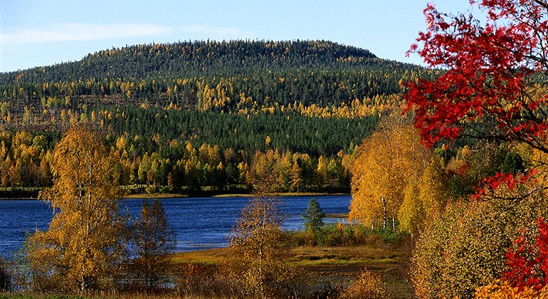
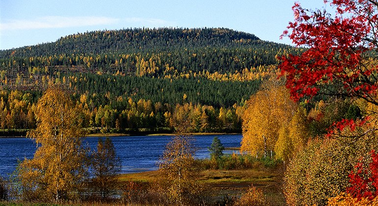
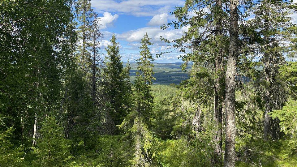
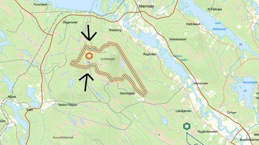
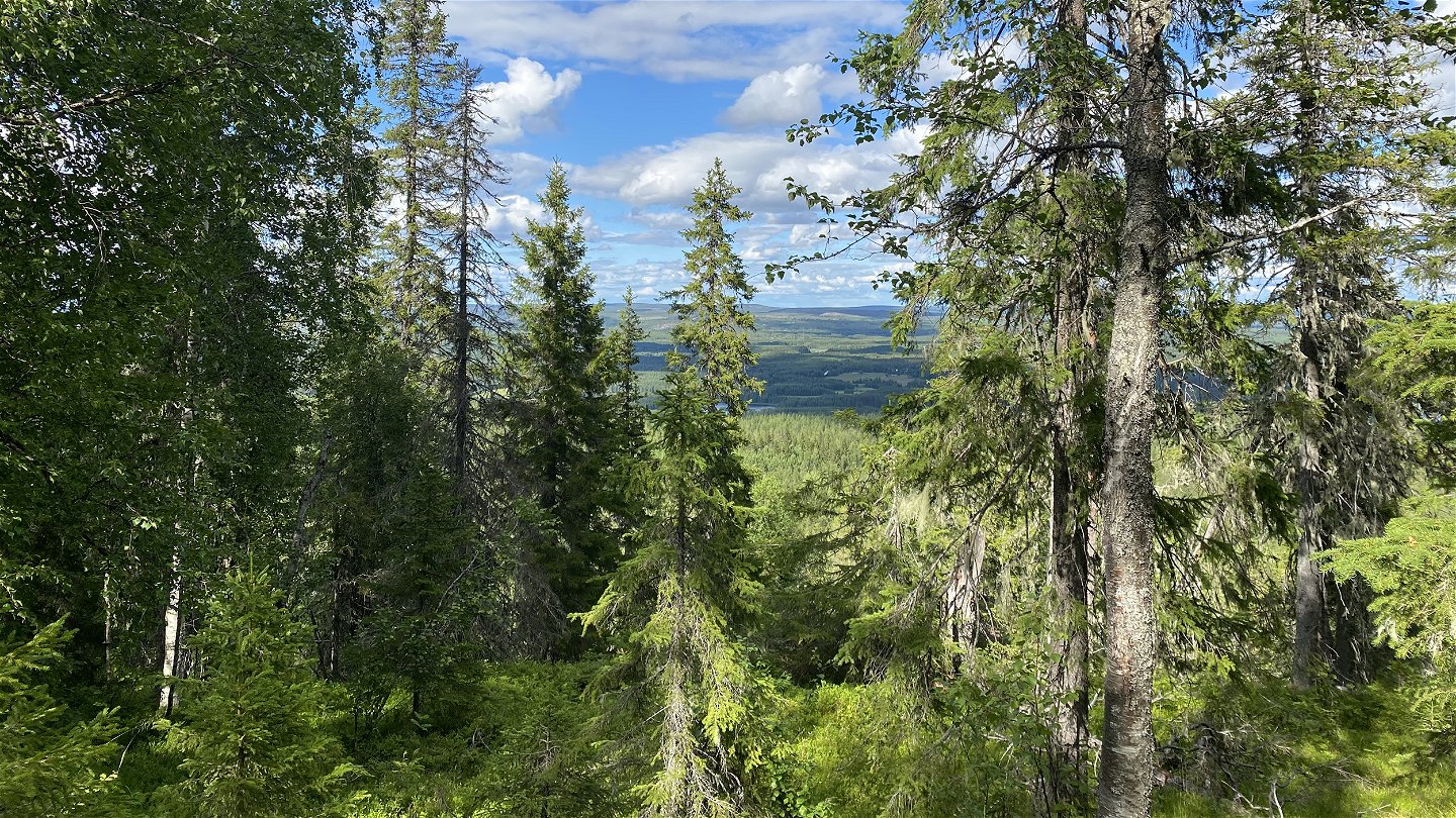
The silhouette of Snöberget mountain, rising 241 metres above sea level, can be seen for miles around. After the most recent ice age, the mountain was an island in the archipelago, which thanks to glacial rebound slowly rose to become a mountain on the mainland. From the gravel road through the western part of the reserve, a trail leads 2.3 kilometres up to the summit of Snöberget. The area is 6.2 square kilometres in size.
Activities And Facilities
-
Nature reserve
Facts
Municipality: Luleå
Year established: 1998, revised 2018
Size: 6.2 square kilometers
Administrator: County Administrative Board
Form of protection: Nature reserve, Natura 2000
Parking
A car can be parked along the gravel road.
Communications
The reserve lies about 3 kilometres southwest of Niemisel. From the E4 turn off northwards towards Södra Prästholm just south of Råneå.
Directions
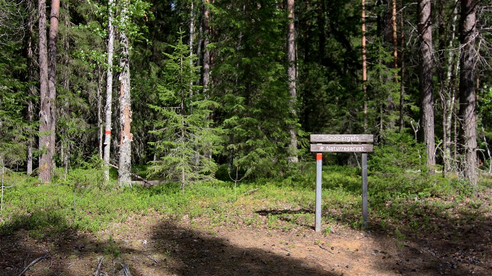
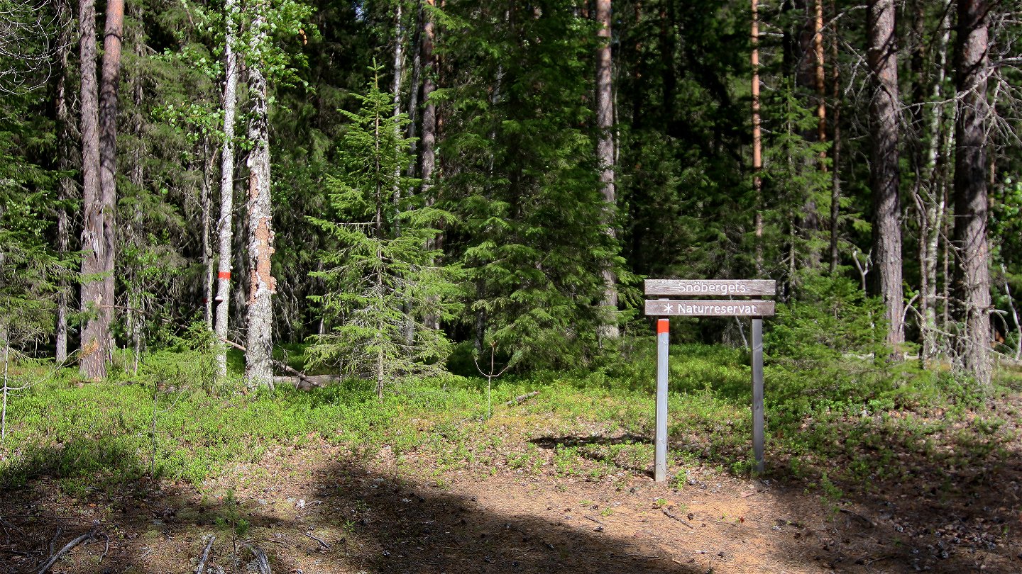
The reserve is located about 3 kilometers southwest of Niemisel. From the E4 turn north towards Södra Prästholm just south of Råneå. From the forest road through the western part of the reserve, there are red markings on the trees that you can follow up the mountain. The markings start at the road where there is a wooden sign with the name "Snöberget".
Regulations
All regulations are set out in the reserve decision. Among other things, it is allowed to:
-camping
-hiking
-make a fire, but not directly on rocks. Remember to bring your own firewood!
-picking berries and mushrooms
-fishing and hunting in accordance with the laws in force
driving snowmobiles on well-snow-covered ground
Among other things, it is not allowed to harm plant and animal life. Remember the right of public access and protect nature!
Contact
Email address
Länsstyrelsen Norrbotten
Organization logotype

Please be aware that some of these texts have been automatically translated.
Questions & Answers
Ask a question to other Naturkartan users.

