Storspikberget
Nature reserve
- County: Norrbottens län
- 6558.37 km away from you
Actions
Description
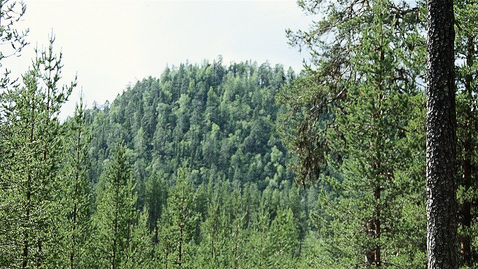
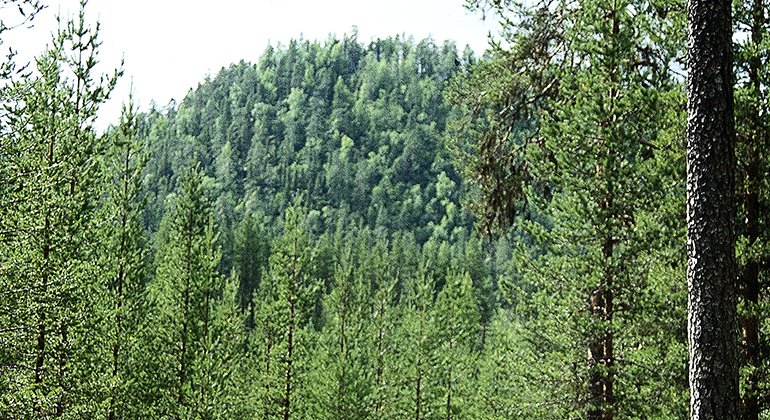
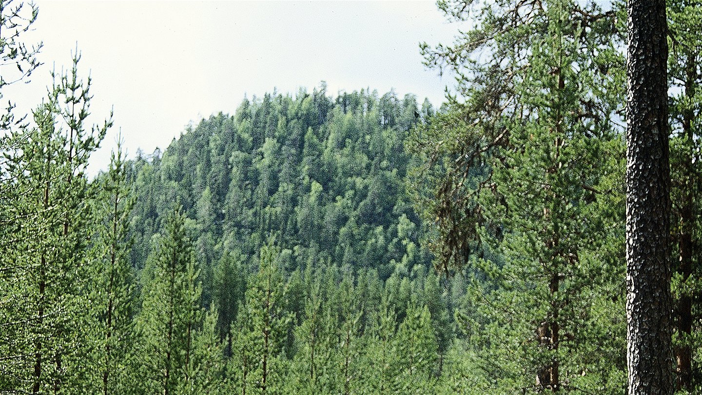
Storspikberget mountain offers a dramatic landscape formed by ice and rivers in the last ice age, 9,000 years ago. Spruce forest and a pine moor with old-growth trees are attractive to many endangered virgin forest species. Sörjeån stream flows through the reserve, and 10 kilometres further downstream empties into the Lule river. From the summit you have a fantastic view! The area is 1.8 square kilometres in size.
Activities And Facilities
-
Nature reserve
Facts
Municipality: Jokkmokk
Year of formation: 2003
Size: 1.8 square kilometers
Administrator: County Administrative Board
Form of protection: Nature reserve
Communications
The reserve lies about 15 kilometres south of Vuollerim. Logging roads southeast of Kåikul lead as far as the reserve. There is a trail into the reserve.
Directions
The reserve is located about 15 kilometers south of Vuollerim. Forest roads southeast of Kåikul lead to the reserve. There is a path into the reserve.
Regulations
All regulations can be found in the reserve decision. It is allowed to:
- camping
- hiking
- picking berries and edible mushrooms
- drive snowmobiles on snow-covered ground
- fishing and hunting in accordance with applicable laws
It is not allowed to harm plant and animal life. Remember the right of public access and protect nature!
Contact
Email address
Länsstyrelsen Norrbotten
Organization logotype

Please be aware that some of these texts have been automatically translated.
Questions & Answers
Ask a question to other Naturkartan users.


