-

-
-

-

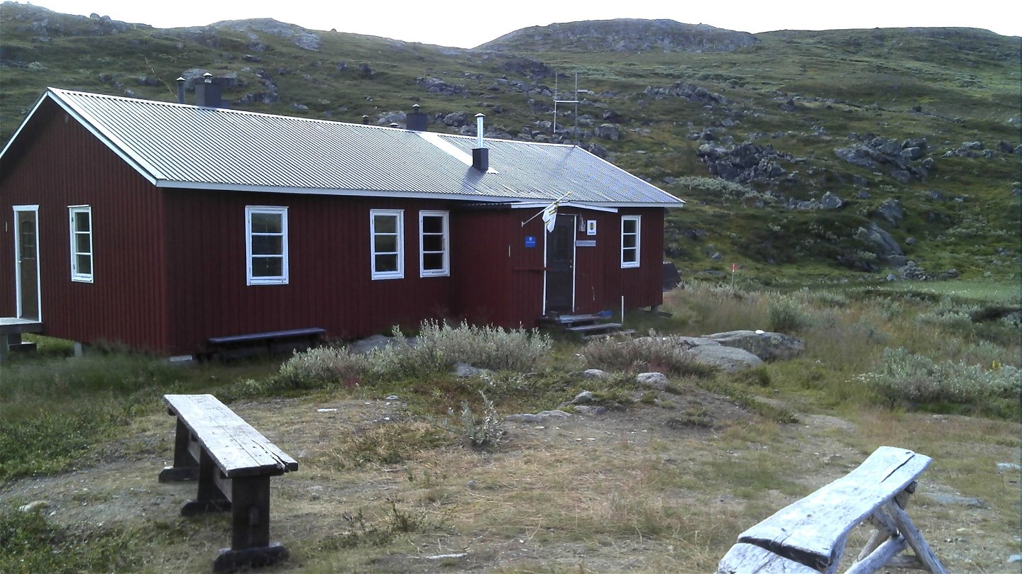
Unna Allakas

Abiskojaure-Unna Allakas
Hiking
- County: Norrbottens län
- 6364.44 km away from you
Trail details
- Length 24.0 km
Actions
Description
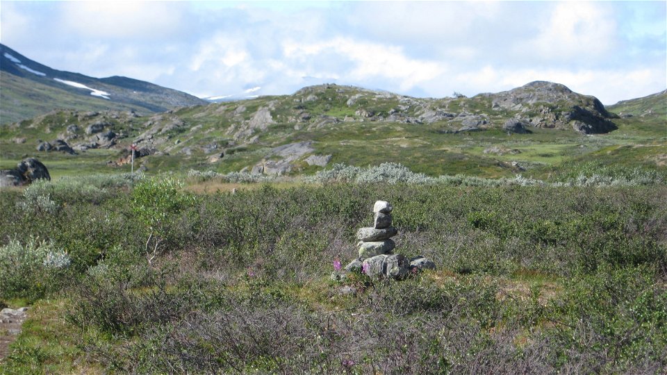
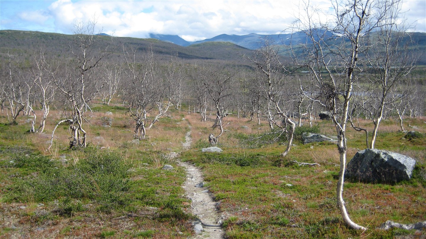
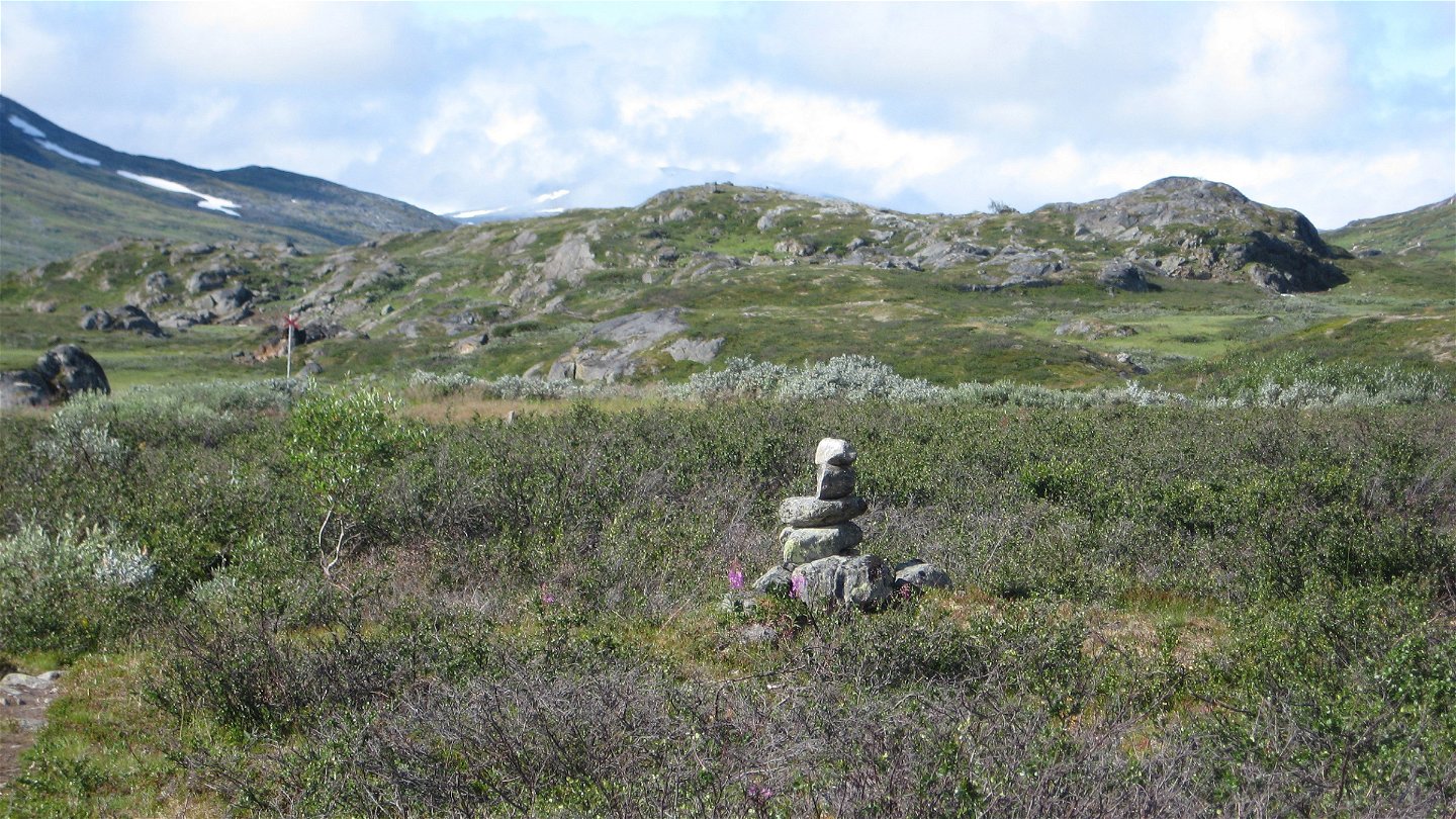
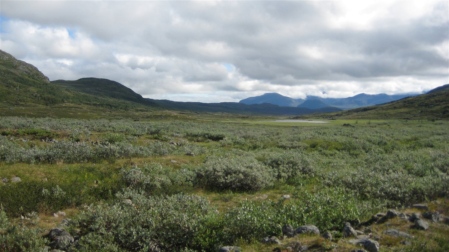
The trail between Abiskojaure and Unna Allakas is easy to hike but long. The hike follows the Kamajåkka valley, and almost the entire stretch passes through mountain birch forest. There are bridges across the two large watercourses Boazojohka and Hoiganjohka at the beginning of the hike. About 2 km south of the bridge after crossing Hoiganjohka, a trail continues towards the King's Trail to the south-east. Just after the point where the trail divides, our trail passes the settlement Rovvidievvá, belonging to Gabna Sámi community. It continues towards the rounded summit Vuolip Čahcaoaivi. After the mountain the landscape opens up towards the high Norwegian mountains in the west. The stream Valffojohka is crossed via a bridge. Soon after the bridge there is a rock surface which can be a good stopover spot. The birch forest gradually thins out and closer to Unna Allakas you are walking on open moorland. A couple of kilometres before the cabin site there is an easy wade. Here the trail from Katterjåkk also joins.
There are tent pitches in the open areas closer to the Unna Allakas cabins. It is also possible to pitch a tent close to the larger streams along the trail.
Duration: 8-9 hours
Activities And Facilities
-
Hiking
Facts
Duration:8-9 hours
Surface
Easily-hiked surface with a number of plankways.
Contact
Email address
Länsstyrelsen Norrbotten
Organization logotype
![]()
Questions & Answers
Ask a question to other Naturkartan users.
