Vaisaluokta Mountain Cabin-Norwegian border, The Arctic Trail
Hiking
- County: Norrbottens län
- 6326.94 km away from you
Trail details
- Length 33.0 km
Actions
Currently
Some smaller bridges have been lost or broken during the winter. These will be replaced during the summer of 2022.
Description
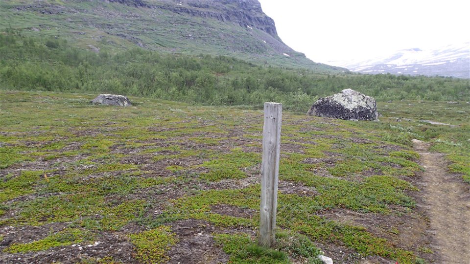
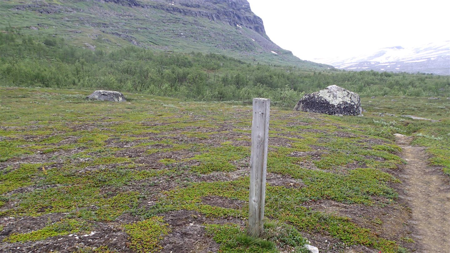
At first, the trail passes through dense mountain birch forest and across rocky ground. The trail is overgrown in places and the plankways lie underwater. This makes them slippery, so be careful. After about 4 km the trail passes two bridges. Here you have a good view and there are good tent pitches. After the bridges, the forest thins out. The hike continues up an easy slope towards a large low-lying area. After another two bridges have been crossed, the trail reaches Lake Rávddajávrre. At the northern end of the crystal clear lake there is a stopover cabin.
After the stopover cabin the trail slowly gains 100 metres in height towards the slope of Unna Rávdovárre mountain. The trail then continues on scree along the mountainside. The forest thins out further. You reach the bare mountain and the highest point of the hike, about 600 m above sea level. The trail crosses easily-hiked moorland, but is in places unclear and difficult to follow. The view is beautiful and the steep north side of Rautåive mountain can be seen ahead. The trail alternates for almost the next 10 km between bare mountain and mountain birch forest that in places is tangled. After passing the last forest area, there is a fine hike across flat mountain moors as far as the Norwegian border.
The Arctic Trail divides about 1.5 km west of the suspension bridge across Suollagajåhkå Canyon. One branch heads north to the cabin Røysvatnhytta in Norway, while the described trail continues 1.5 km west to the Norwegian border. From the border is then possible to follow a Norwegian trail down to Hellemobotn on the sea. The stretch as far as the national border is poorly marked and it is easy to lose your way, especially if coming from the west. The trail crosses exposed bedrock for the last stretch. The rocks can be slippery in the rain.
Duration: 8,5-11,5 hours
Activities And Facilities
-
Hiking
Surface
Varied surface. At first rocky, brushy undergrowth, and with many slippery plankways. After half the stretch, the trail mostly crosses easily-hiked mountain moor.
Communications
You can get to Vaisaluokta Mountain Cabin on board the STF boat M/S Storlule from Ritsem. Ritsem lies about 180 km from Gällivare. There is a road, and the easiest way to get here is by bus, unless you drive.
The boat M/S Storlule (Swedish Tourist Association website) Länstrafiken Norrbotten website (bus and coach operator) Gällivare Turistcenter website
Contact
Email address
Länsstyrelsen Norrbotten
Organization logotype

Questions & Answers
Ask a question to other Naturkartan users.


