Stáddájåhkå-Mávas, The Arctic Trail
Hiking
- County: Norrbottens län
- 6351.47 km away from you
Trail details
- Length 54.0 km
Actions
Description
Stáddájåhkå-Pieskehaure, 29 km
This is a long stretch and so it may be suitable to hike it over two days. A tent is needed because there are no overnight cabins.
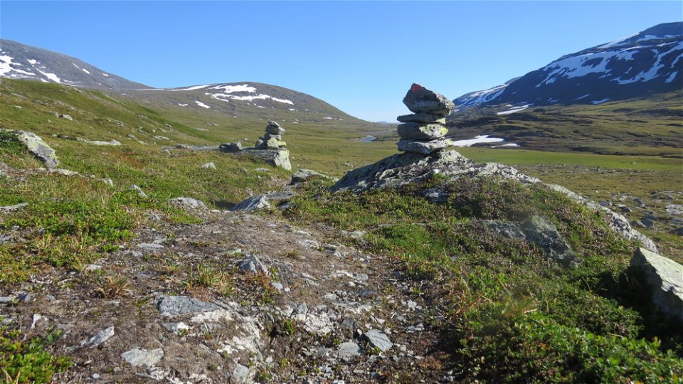
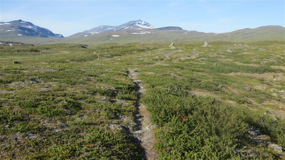
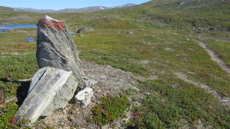
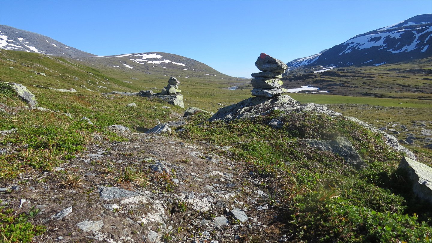
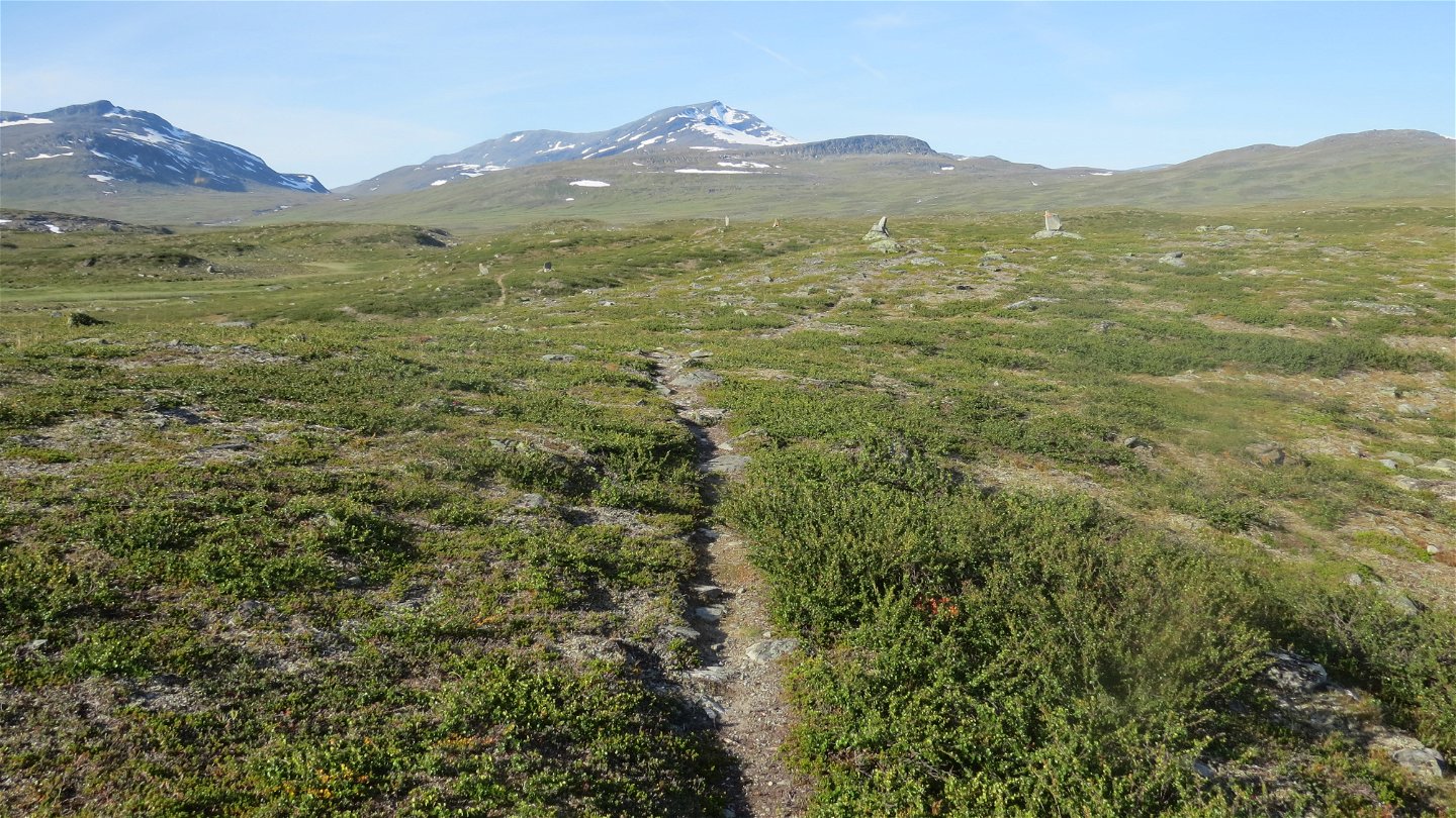
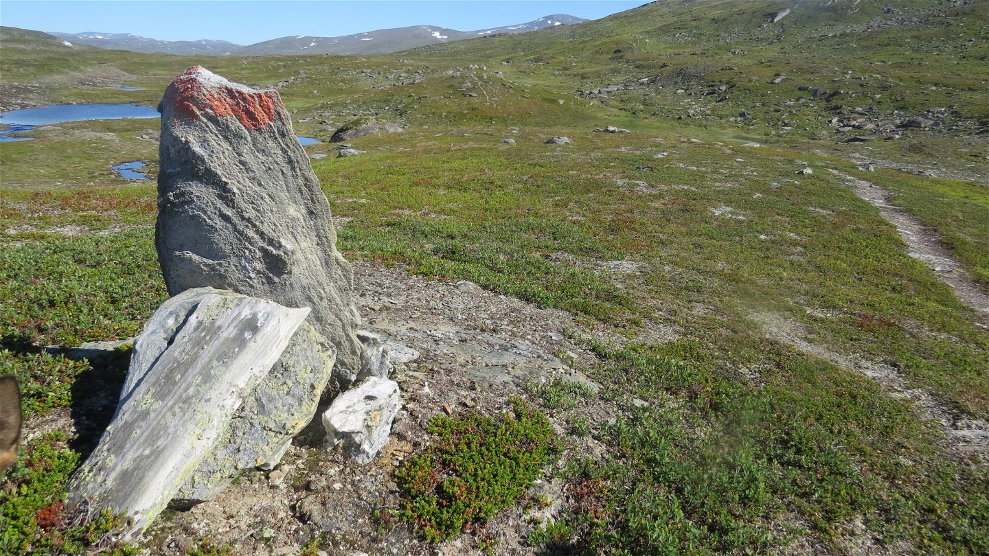
About 1 km from the cabin, the Arctic Trail divides. You follow the trail southwards towards the Pieskehaure Cabin. A long, strenuous slope leads up towards Gájlavágge Valley. In places, the trail is hard to detect and runs over mountain moor, grassland, and at increased altitude, stony ground. The valley is narrowest at Jålle mountain and then widens out further south. The snow can remain here well into summer. At the summit of Hádditvárre, a gentle downward slope begins, leading down to the valley. In the valley, you wade Hádditjåhkå stream. It is a long wade, which can be difficult. You have now hiked halfway to Pieskehaure, and the site is suitable for making camp. After wading, slightly hilly terrain awaits, crossing mountain moor. Gállojåhkå stream is crossed via an easy wade, and Várvvekjåhkå stream is crossed via a suspension bridge. A further number of small bridges are crossed. The rest of the hike is across pleasant brushy moors, past a number of small lakes. You have a beautiful view of the mountains. Gradually the trail begins to descend towards the turquoise-green Lake Pieskehaure. About 1 kilometre before the cabin, the trail divides. Just before the cabin, you cross Várvvekjåhkå stream by means of a suspension bridge.
There are several good tent pitches along the trail, for example on the moorland at Hádditjåhkå.
Duration: 2 days (8-12 hours)
Pieskehaure-Mavás, 25 km
From the cabins you hike the Arctic Trail northwards. The trail divides and you turn off westwards, and soon cross the suspension bridges over Lájrrojåhkå and Labbájåhkå streams. The trail continues along the slopes of Lájrro mountain above Lake Pieskehaure. The trail passes a bridge where a trail turns off towards the Norwegian border. The hike towards Mavás continues across the slope above the lake, and then passes above the Vássjájåhkå waterfall via a suspension bridge. After that, the trail follows the east side of Suollunåjve mountain and eventually departs from Lake Pieskehaure. Then follows a descent towards a stand of birch forest and some bridges across Suollunåjvåjåhkå stream. The trail continues down the slope through park-like forest. You pass Lake Bierre, which leaves you with a hike through verdant forest with tall vascular plants down to Mavás.
Please note that the organized boat traffic across lake Mávas, previously performed by the Camping in Mavas, "Mavas stugby", has been cancelled since 2022, and there are no rowing boats or places where you can wade across. Tourists who wants to cross the lake have to try to find boat transport on their own in Mavas.
Duration: 8-10 hours
Activities And Facilities
-
Hiking
Surface
Stáddájåhkå-Pieskehaure: Varied surface. Brush covered and grassy moor, at higher altitude, rocky ground.
Pieskehaure-Mavás: Varied surface. At the end of the hike, verdant undergrowth in the form of tall-growth vascular plants such as Wolf’s Bane and Globeflower.
Contact
Email address
Länsstyrelsen Norrbotten
Organization logotype

Questions & Answers
Ask a question to other Naturkartan users.

