

Vandringsstig Stenträskflygget, Vittjåkk-Akkanålke
Hiking
- County: Norrbottens län
- 6532.99 km away from you
Trail details
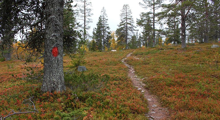
- Length 1.3 km
Actions
Description
A 1.3 kilometer long, marked path between the road up to the radio mast and the mountain Stenträskflygget.
Activities And Facilities
-
Hiking
Contact
Email address
Länsstyrelsen Norrbotten
Organization logotype
![]()
Please be aware that some of these texts have been automatically translated.
Questions & Answers
Ask a question to other Naturkartan users.
