


-

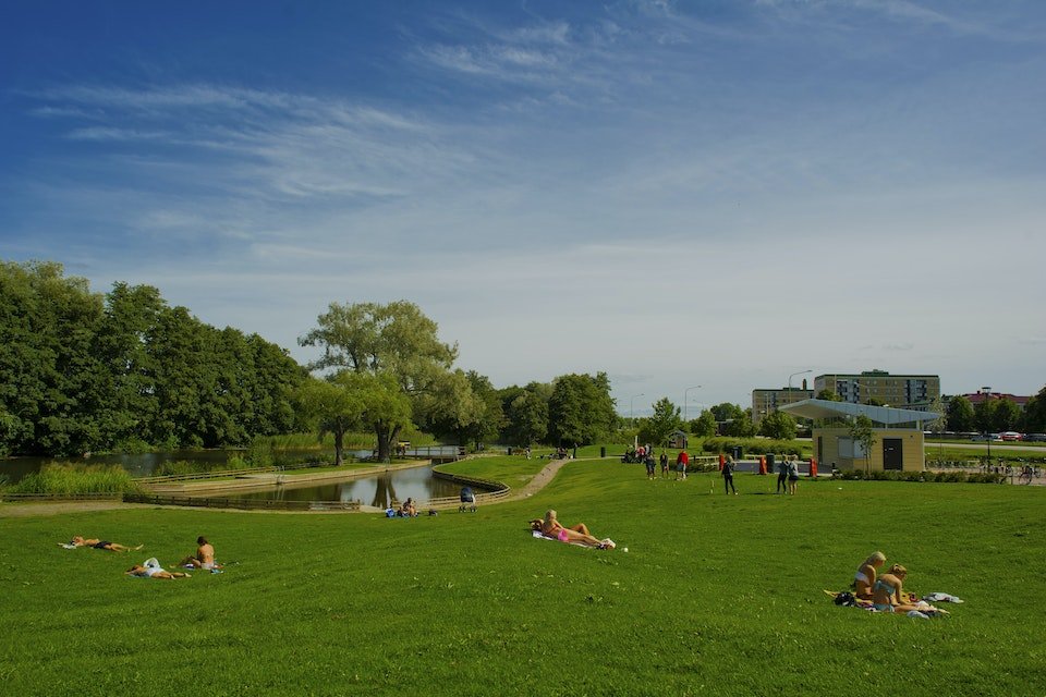
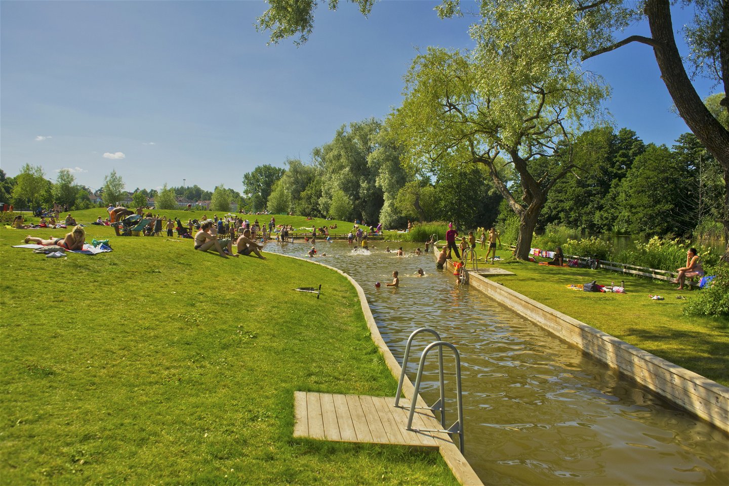
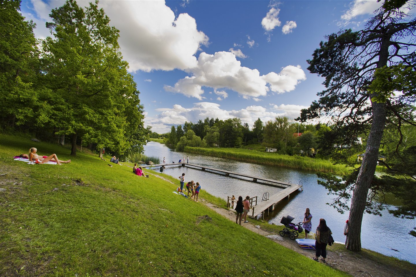
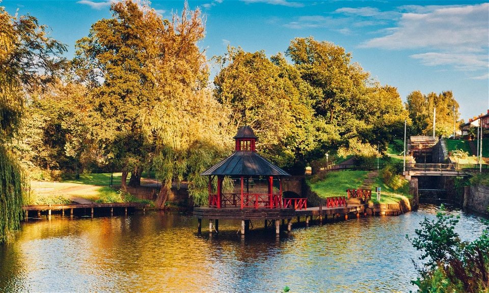
Photo: Visit Linköping -

-

-

-

-

-
-

-

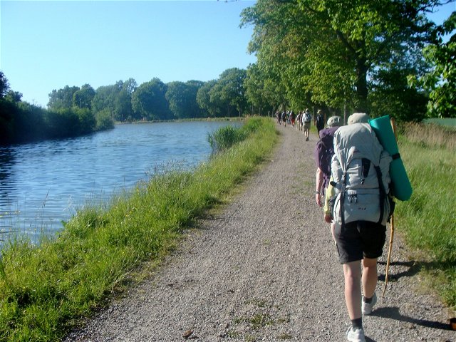
Askeby - Linköping, Birgittaleden, St. Birgitta Ways
Pilgrim Trail
- County: Östergötlands län
- 6767.23 km away from you
Trail details
- Length 18.0 km
- Difficulty Red - demanding
Actions
Currently
Please note that this trail is not yet signposted, but it is possible to follow the trail using the digital map on your mobile phone. Some stretches are on paved, low and normal traffic 70 road.
NOTE! The bridge over Stångån in Landeryd is out of use for renovation. Expected to be ready in 2026.
Description
There are several different routes to take from Askeby to Linköping Cathedral. None of the sections are marked in the field, so keep an eye on the digital map.
The southernmost route goes via Landeryd and consists mostly of asphalt roads with heavy traffic, so be cautious.
If you prefer to navigate through the forest, there is an alternative route that partially follows an old railway embankment.
The northern route goes via Linghem and Tallboda on gravel and asphalt roads, with the final stretch towards Linköping on a cycle path. This route is less hazardous in terms of traffic.
(aug 2024)

Activities And Facilities
-
 Hiking
-
Pilgrim Trail
Downloads
Contact
Address
Har du frågor kring leddragningar eller intressepunkter på St. Birgitta Ways kartguide. Kontakta då Emanuel Eriksson på Pilgrimscentrum
Email address
Vadstena Pilgrimscentrum
Organization logotype
![]()
Please be aware that some of these texts have been automatically translated.
Questions & Answers
Ask a question to other Naturkartan users.
Reviews
You might also be interested in
